
Undercliffe Falls
New South Wales


Menu
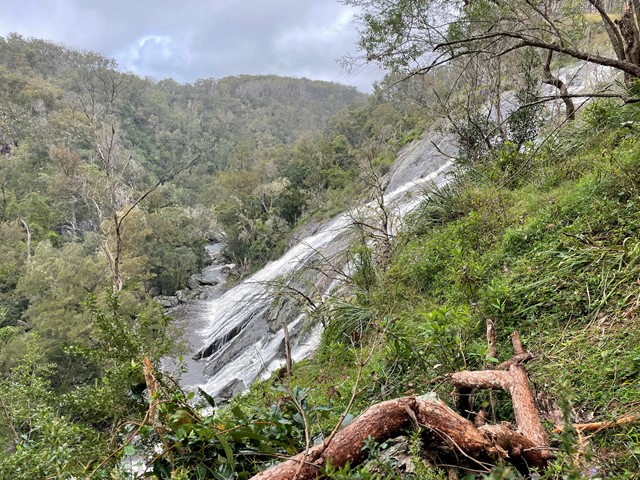
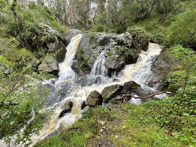
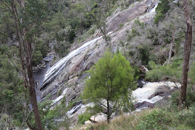

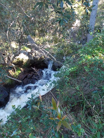
Undercliffe Falls is a waterfall located on the Bookookoorara Creek in northeast New South Wales.
Undercliffe Falls is estimated between 140m and 160m high. This estimate is based on analysis of the topographic profile around the waterfall and may not be an accurate figure for the total fall of water seen if viewing the falls.
The nearest populated town of Stanthorpe, with shops, wineries, accommodation etc etc is 23km away, via Amosfield Road. The nearest sealed road to Undercliffe Falls is the Mount Lindesay Highway (7.59km away). The turnoff, to Rivertree Road is located in the small village of Liston. The entrance to Undercliffe Falls is from Rivertree Rd and is signposted. You travel through farmland. Camping & coffee etc is available at Aloomba Lavender on the northern side of Liston. Liston has holiday accommodation and Liston hall (with bar) is often open on Fridays and some public holidays.
Care should be taken near the top of the waterfall, as a fall would be easy.
Mobile phone reception is patchy. Telstra is best so far. A public phone is available in Liston.
Public toilets are also in Liston (cleaned by local volunteers).

GPS Tracks
- No GPS available for this walk yet.
 1
1 15
15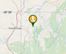
Comments