
Menu

 2
km
return
2
km
return
 1
hr
1
hr
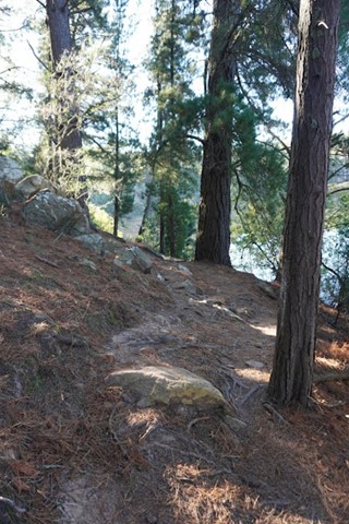
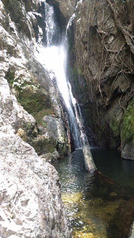
Silver Falls
A moderately steep short walk to Silver Fall from Fern Tree Tavern.
7.2
km
return
2
hrs
Freshwater & Lagoon Trails
The Freshwater and Lagoon trails form a 7.2 km circuit around the coastal wetlands of the Town Common Conservation Park. This is a beautiful area to explore, full of birdlife, great photo opportunities and so close to the city of Townsville
3
km
return
1
hr
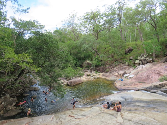
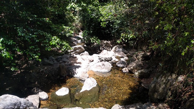
Jourama Falls
Jourama Falls is located within Paluma Range National Park. The 3km return trail follows a path along Waterview Creek, with plenty of fresh water swimming holes along the way.
1
km
return
20
mins
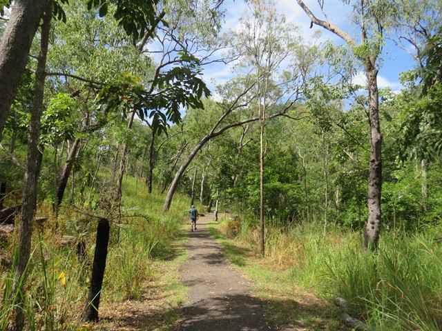
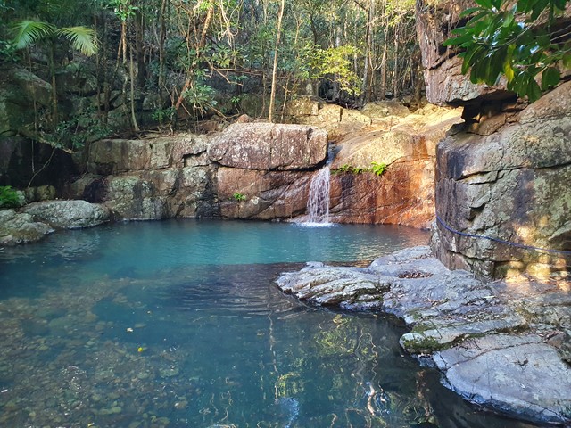
Crystal Rockslides
Crystal Rockslides is a great spot for cooling off, having fun and enjoying the Paluma Range National Park experience. A short 500m walk on sealed surfaces, with an uphill section before taking the shady path to reach the Rockslides.
 11.3
km
return
6
hrs
11.3
km
return
6
hrs
Mt Halifax
A tranquil walk alongside a gently flowing stream followed by a diobolically steep and slippery 1km vertical ascent!
 3
km
1
hr
3
km
1
hr
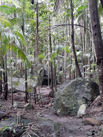
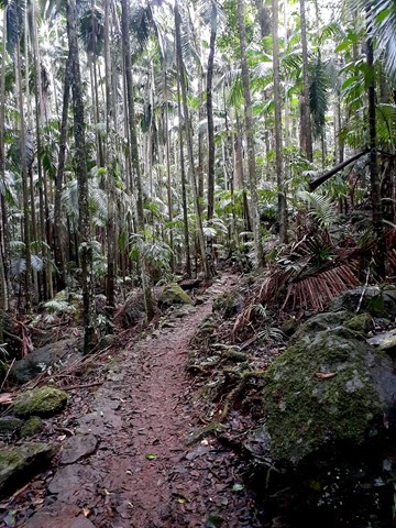
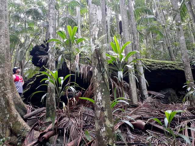
Cloudy Creek Walk
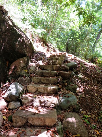
A short walk through the Paluma rainforest to cloudy creek, expect stairs.
2.5
km
return
1
hr
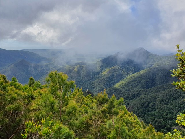
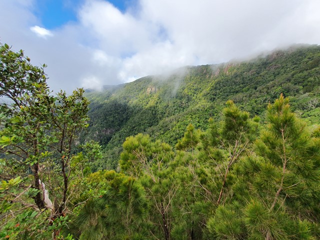
Sandy Creek Circuit
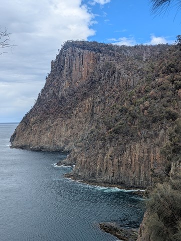
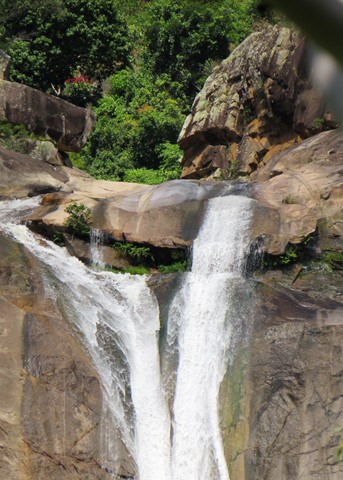
This walk features lush rainforest with towering trees emerging through the canopy and at the falls, eucalypt forest. It follows Sandy Creek out to the western lookout of Cameron Falls, where on a clear day you can enjoy views across the valley to Mount Flinders and the southern suburbs of Brisbane.
This Track travels close to steep cliff edges, so stay on the designated track and behind the fences.
The falls are aligned such that under the correct conditions a rainbow will appear. It has been seen in the afternoon in late July.
Easy and accessible for kids.
4
km
return
2
hrs
Mt Zeehan summit
Panoramic views of the west coast all the way from Queenstown to Rosebery and ocean beach await the climber on this steep, rocky goat-track
2.75
km
return
30
mins
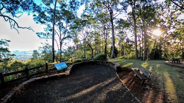
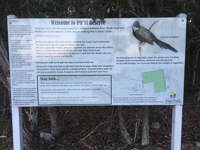
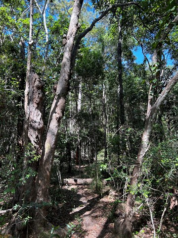
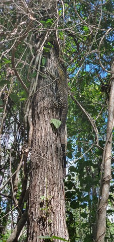
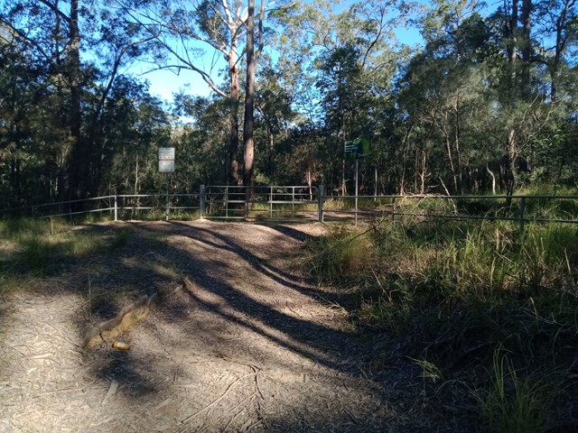
Pir'ri Reserve
Easy walk through rainforest to grassland and gums. Koalas 🐨 can be seen if your patient and lucky.
Trail is not very well maintained

 1.8
km
return
30
mins
1.8
km
return
30
mins
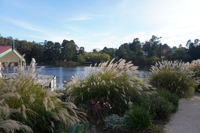
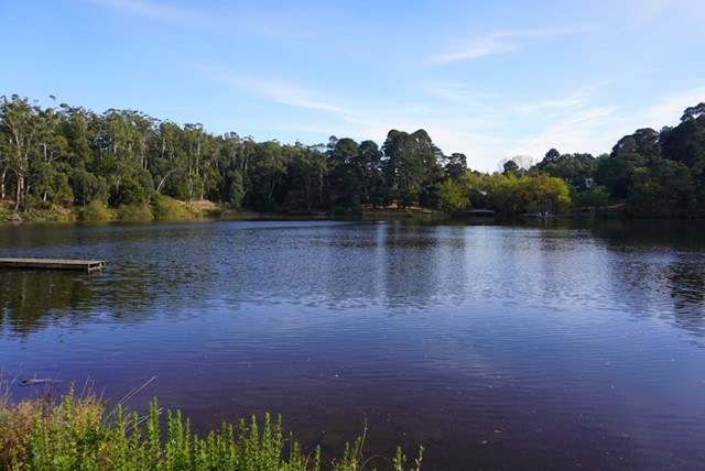
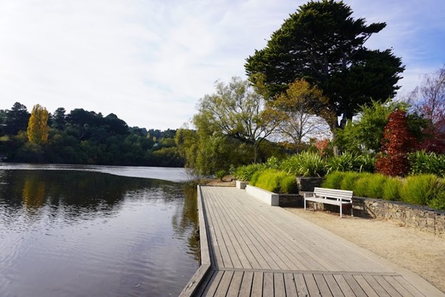
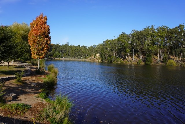
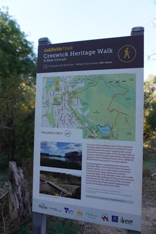
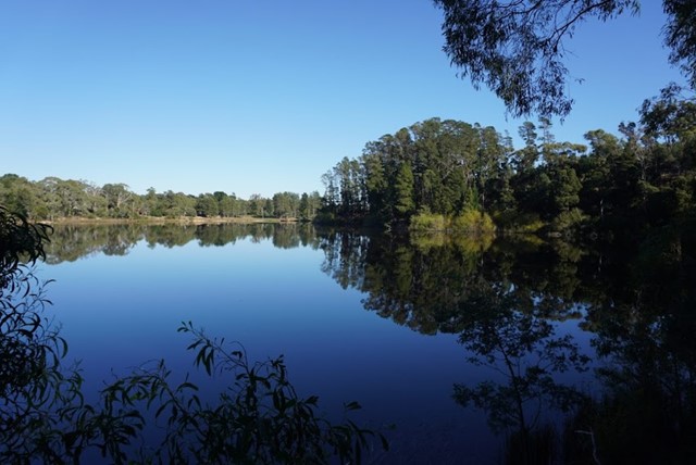
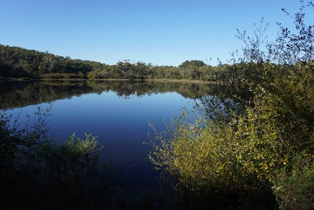
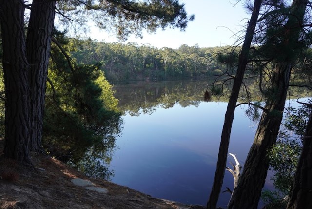
Lake Loop Walk
Loop walk around the lake. Connects onto the Goldfield track. Very uneven in parts and lots of tree roots to contend with.
 1
km
return
30
mins
1
km
return
30
mins
Merdian Hill, Mooloolah River National Park
This walk up Merdian Hill is moderately steep but very short so whoever graded it easy is correct. The view from the top is nice but not spectacular, glimpses of Ewen Maddock through the trees. It's hardly worth making a special trip just for this walk, but combined with a few other walks in the area makes a nice day out. For starters, in the same location but on the other side of Old Caloundra Rd there are several short walks through wet woodland type vegetation, eg lots of candlestick banksia. Take the walking trails further down Old Caloundra Rd to get away from the traffic noise on Steve Irwin Way. Add a walk around Jowarra Section of Mooloolah River NP and/or Dularcha NP, both an easy drive from Meridan Hill. That makes a really nice day out.
 7
km
return
4
hrs
7
km
return
4
hrs
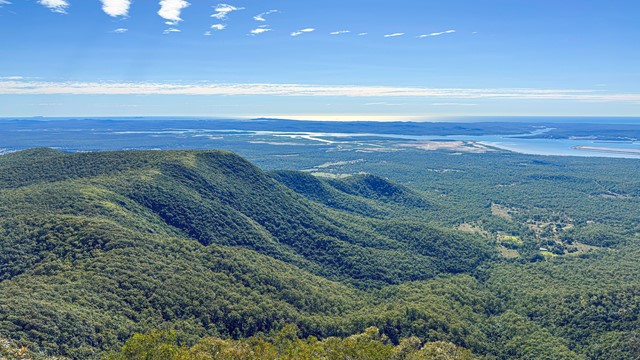
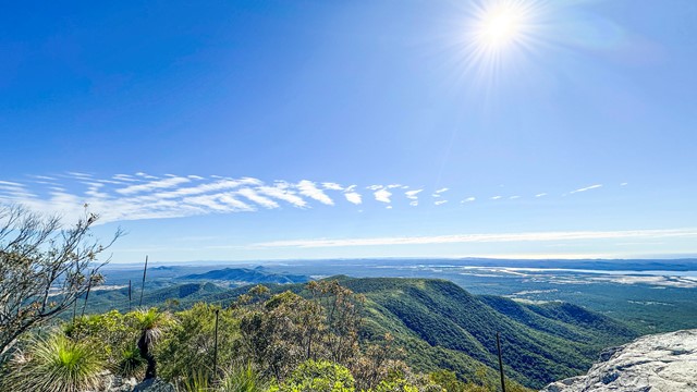
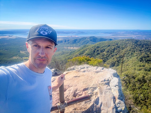
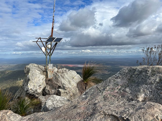
Mount Larcom Walk
A steep climb up to the Mount Larcom TV relay station. Follow the blue dots and yellow markers and you can't go wrong. The beginning of the track is approximately 2kms and winds towards the base of the climb, lots of loose dirt and grass surrounding the trail. Cross the wooden bridge and the trail is straight up from there. Most of the trail is covered in very loose rock and dirt, lots of tree roots sticking up out of the ground - they make excellent footholds but watch your footing as it can be slippery on the way down. The last section involves some rock scrambling and whilst it is almost vertical towards the peak, three points of contact at all times is easily achieved. Bring plenty of water, at least 2ltrs per person, even in the Winter as this is a fairly strenuous hike. Beware if you have knee issues and the decent is punishing. Your quads will burn with that awesome workout feeling. Anyone can do this climb however some just need to take the full 4hrs turnaround.
 8.4
km
return
2
hrs
8.4
km
return
2
hrs
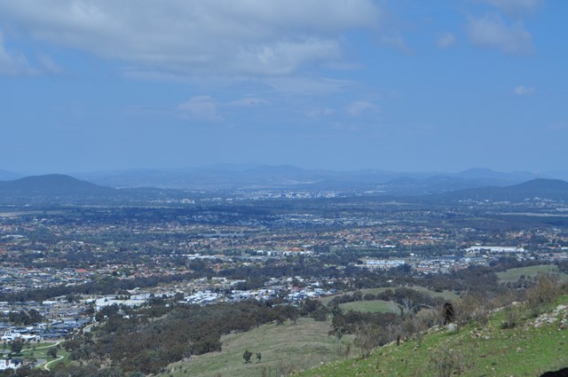
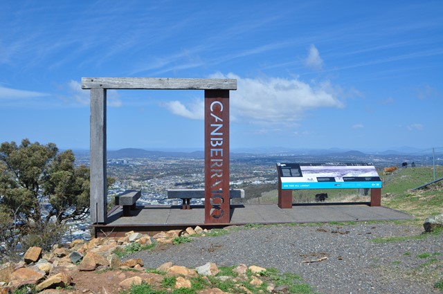
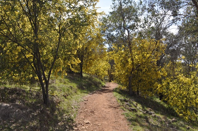
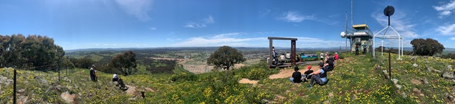
One Tree Hill
A moderate walk that is very well travelled and a known tourist route. It has excellent views over North Canberra.
 5.4
km
one-way
2
hrs
5.4
km
one-way
2
hrs
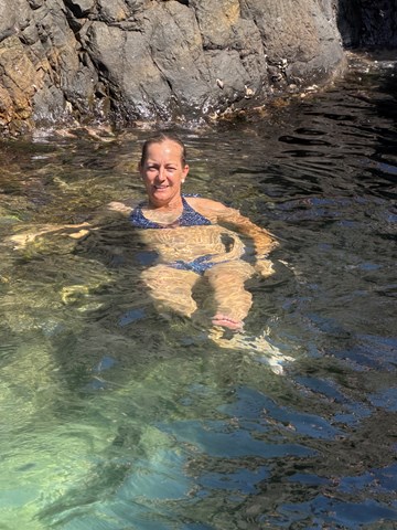
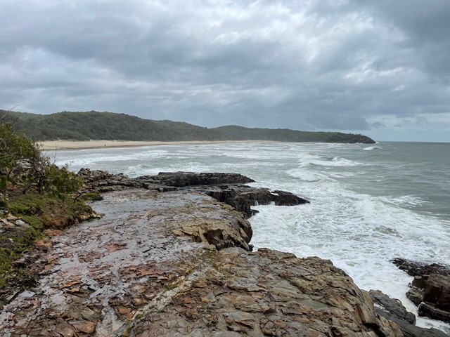
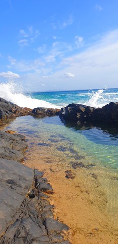
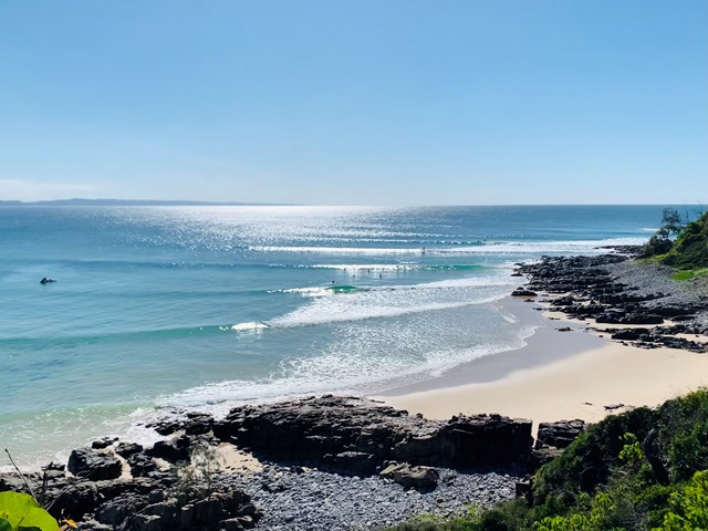
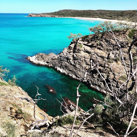
Noosa to Sunshine Beach - Coastal Track
A beautiful coastal track from Noosa National Park H.Q. to Sunshine Beach Surf Club. Via Hells Gates and Alexandria Bay nudie beach!
It was very windy but the view was just so beautiful !
 1
km
one-way
45
mins
1
km
one-way
45
mins
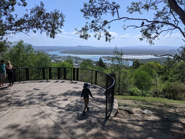
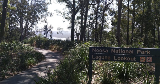
Laguna Lookout
Laguna Lookout, very easy walk for adult/kids
https://goo.gl/maps/ZARnXdNyks25tvSb8
 3
km
return
45
mins
3
km
return
45
mins
Seven Hills Circuit
Sort circuit track that is intersected by the Seven Hills Ridge track and the Seven Hills Gully Track. Wide and clear well maintained track.
 800
m
return
1
hr
800
m
return
1
hr
Fairy Falls - Cairns
An isolated bushwalk through the rainforest, ending in a waterfall and small swimming hole.