
Menu

 3
km
return
3
km
return
 1
hr
1
hr
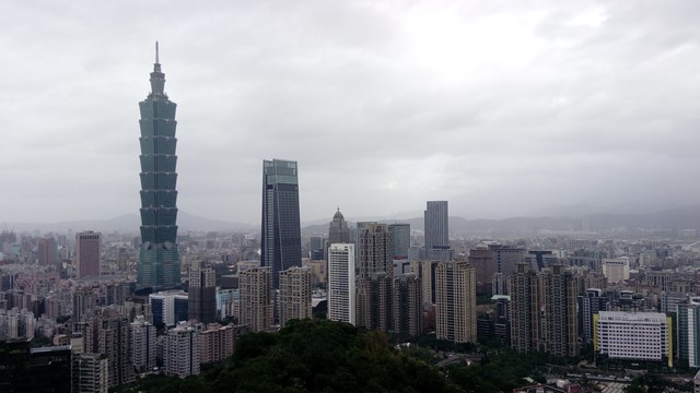
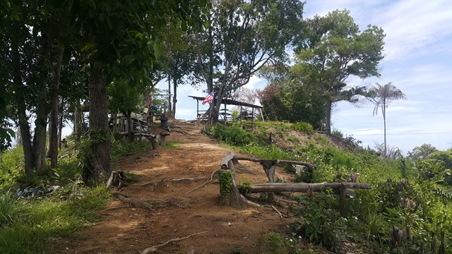
Xiangshan, Elephant Mountain
A short hike through the mountains in Taipei that connect to neighbouring mountains. The hike is accessible by public transport and has good views of the Taipei skyline. There are temples along the way and some wildlife can be seen. It's amazing to go straight from city to mountains.
 3
km
return
1
hr
3
km
return
1
hr
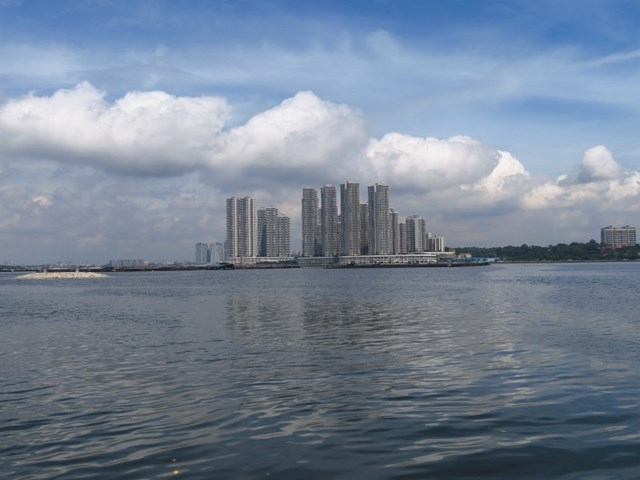
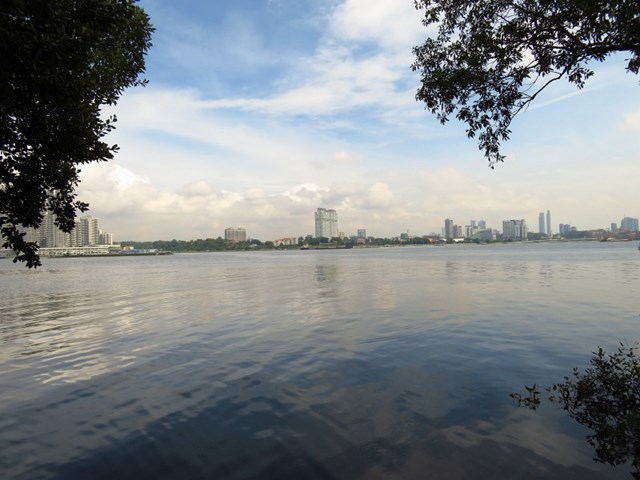
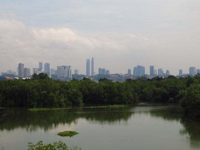
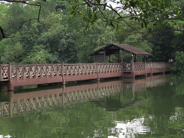
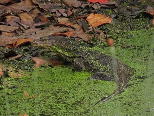
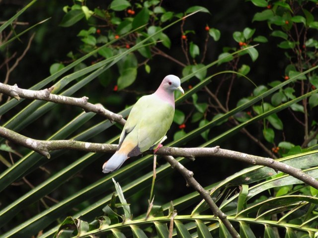
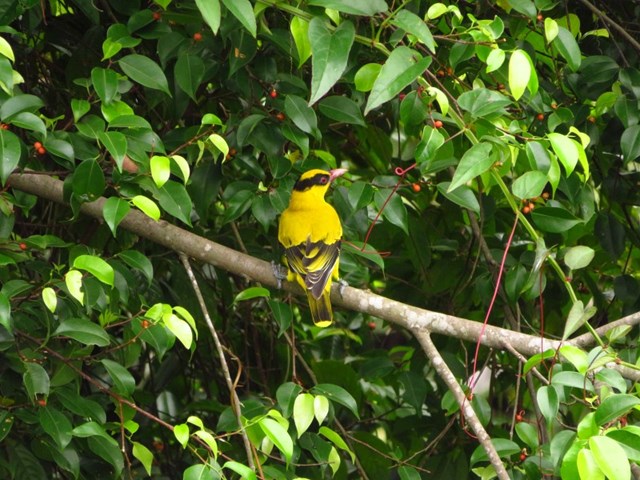
Sungei Buloh Wetland
Enjoy the tranquility and serenity of the mangrove habitat is through Route 1. This route goes around the two main ponds and gives a good introduction to the Reserve and the birds of Sungei Buloh, especially during the migratory season from September to March
 10
km
one-way
4
hrs
10
km
one-way
4
hrs
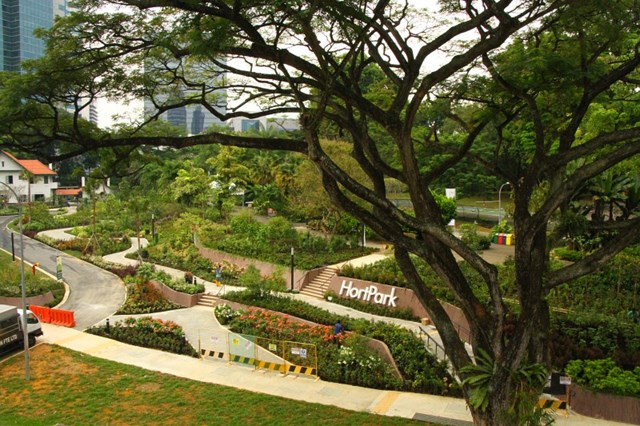
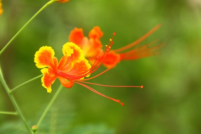
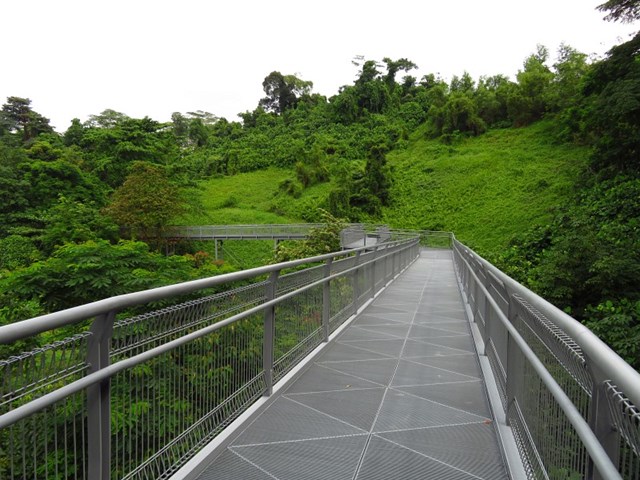
Mount Faber Park to Kent Ridge Park
A seamless expanse of green open spaces, the Southern Ridges is a 10-km trail that offers a unique outdoor experience in the southwest of Singapore. From the many architecturally striking bridges and walkways, trekkers can enjoy a panoramic view of the verdant greenery in the three parks and one nature reserve that make up the Southern Ridges – the lush hilly parks of Mount Faber, Telok Blangah Hill and Kent Ridge, and the rich flora and fauna of Labrador Nature Reserve. Themed gardens in HortPark featuring the latest in garden and landscape designs will satisfy any gardening enthusiast or interest a curious trekker. Replace the sounds of the hustle and bustle of city life with the symphony of insects and birds, and explore one of Singapore’s most exciting recreational destinations.
 22
km
one-way
2
days
22
km
one-way
2
days
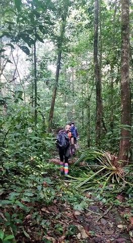
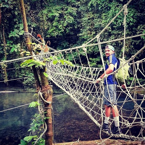
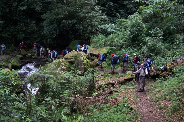
Headhunters Trail
The headhunters trail through Borneo is there for anyone seeking a jungle adventure. Located in Mulu National park this walk takes you through some dense jungle along rivers, a secluded jungle camp, monkey bridges and there are plenty of leeches and sweating along the way.
 2.4
km
return
1
hr
2.4
km
return
1
hr
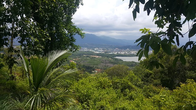
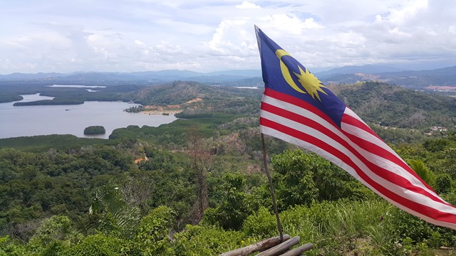
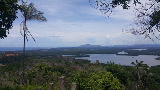
Bukit Lapai
A short but steep hike up Mt Lapai where you are rewarded with excellent coastal views around Kota Kinabalu.
 17
km
return
2
days
17
km
return
2
days
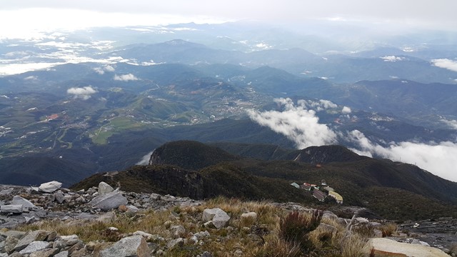
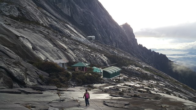
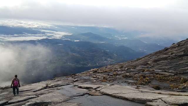
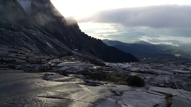
Mt Kinabalu
A two day walk up the hightest mountain in South East Asia 4095m. Kinabalu is just outside the capital of Sabah on the island of Borneo...with unbelievable views of the surrounding country if the clouds clear. The walk/climb,stops near the summit where you stay over night with the final part of the walk done in the dark so you can watch the sun rise. Some people experience altitude sickness
 14
km
return
1.5
days
14
km
return
1.5
days
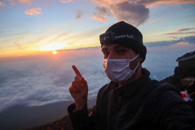
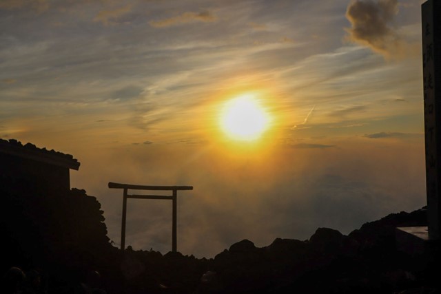
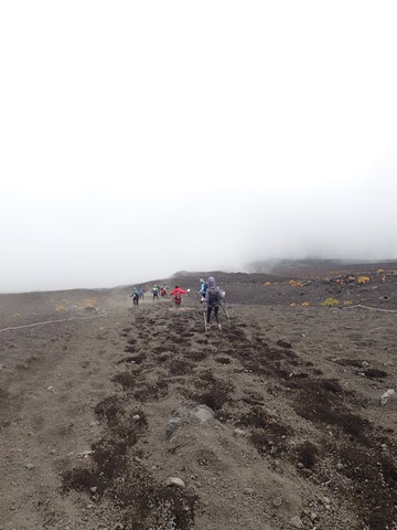
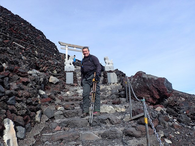
Mt Fuji Summit
Mount Fuji is the tallest mountain in Japan and possibly one of the most iconic peaks on Earth. Although the views from Mt. Fuji are nothing particularly special compared to other mountains in Japan, the sunrise from the top is biblical and is more than worth the trek to the top.
 96
km
one-way
11
days
96
km
one-way
11
days
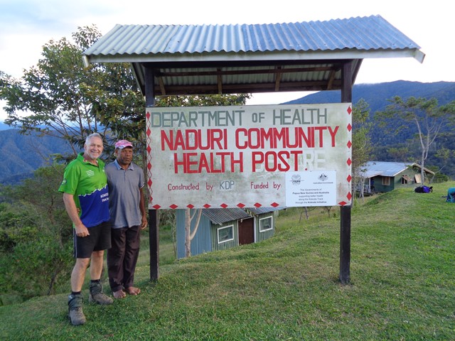
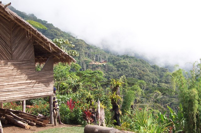
Kokoda Trail
11 day hike from Kokoda to Owens Landing, Papua New Guinea
 6
km
2
hrs
6
km
2
hrs
Rattlesnake Ledge
Short hike up a cliff with views of the surrounding area including Rattlesnake Lake and Mount Si.
 2.8
km
1
hr
2.8
km
1
hr
Sulphur Banks
Walk through an area concentrated with stream vents. The vents are piles of rocks and out of them pumps a constant flow steam and sulphur dioxide. You can get up right next to them. The gas coming out of them is warm to hot and suffocating. The rocks are covered in a coating of crystalline sulphur.
6.6
km
3
hrs
Kīlauea Iki
Kīlauea Iki is a smaller caldera located next to the larger more active Kīlauea caldera. Since the Kīlauea caldera floor has been closed to hikers due to volcanic activity, Kīlauea Iki is as close as you're going to get. The Kīlauea Iki trail starts on the crater rim and drops down to the caldera floor. You get to walk across the entire breadth of the caldera floor seeing different kinds of lava, stream vents, sulphur, and all that volcanic goodness.
1.4
km
30
mins
Thurston Lava Tube
Hike through a lava tube left by an underground flow of molten lava. The tube is completely dark so bring a flashlight.
6.8
km
3
hrs
Sliding Sands Trail
Hike down into the huge crater (11 km across) of an inactive volcano. The crater is mostly eroded. There are two gaps in the sides of the crater walls that water has eroded through over the centuries. The interior of the crater is sandy and desolate and contains many cinder cones (sand hills formed from smaller volcanic activity).
3
km
return
1
hr
Manoa Falls
A walk to the 150 foot (46m) Manoa Falls near Honolulu, Oahu, Hawaii
1
km
30
mins
ʻĪao Needle Lookout Trail
An eroded volcanic core (similar to Glasshouse Mountains, Queensland) nestled within a deep valley.
6.1
km
2
hrs
Swinging Bridges Trail
Hike through rainforest and across two swinging bridges (think Indiana Jones) over a stream.
80
km
return
5
days
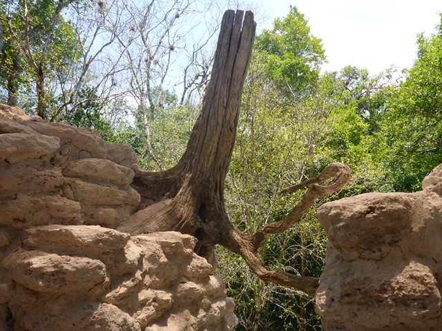
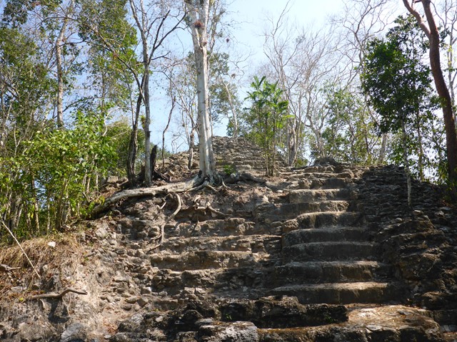
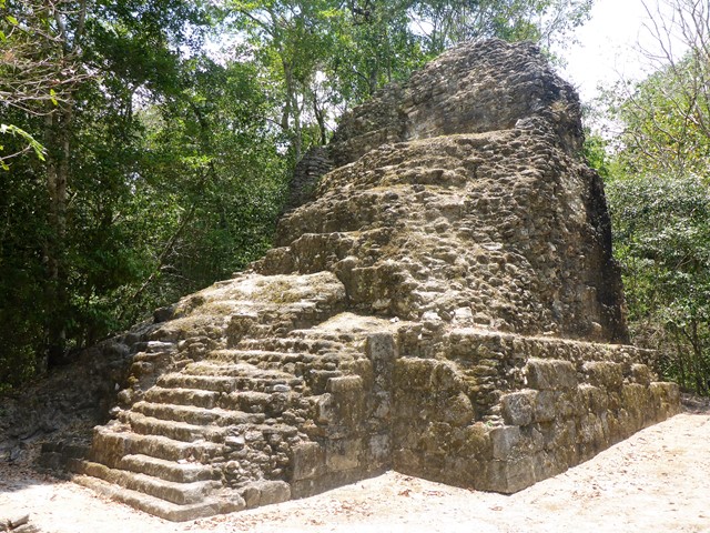
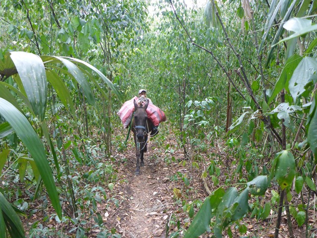
El Mirador
A longish hike along a Mayan roadway to the partially excavated Mayan city, today called El Mirador, deep in the Guatemalan jungle.
 8
km
return
3.5
hrs
8
km
return
3.5
hrs
Shackleton's Walk
Historically important walk where Sir Ernest Shackleton, Frank Worsley and Thomas Crean made the frist crossing of South Georgia Island in May 1916. This after surviving one of the most incredible small jounrney in history after his crew were marooned on Elephant Island (Antarctica), after a failed attempt to enter the Weddell Sea to cross the Antarctican continent. This walk is the last section of this epic journey across South Georgia Island to the Stromness Whaling Station.