


Menu
Popular Walks
-
Mt Ngungun
(1162 ticks) -
Mount Coolum
(874 ticks) -
Mt Warning Summit Trail
(760 ticks) -
Mt Cordeaux
(669 ticks) -
Twin Falls Circuit
(637 ticks)
Popular Walks
-
Mt Ngungun
(1162 ticks) -
Mount Coolum
(874 ticks) -
Mt Warning Summit Trail
(760 ticks) -
Mt Cordeaux
(669 ticks) -
Twin Falls Circuit
(637 ticks)
Sub-Regions
Walks in Zion National Park


 18
km
18
km
 10
hrs
10
hrs
Orderville Canyon
A good introduction to canyoning in some of the prettiest canyons in the world. Tough work with some free-abseiling, wading and swimming required. Not to be attempted with any sign of rain
 1.6
km
1
hr
1.6
km
1
hr
Upper Emerald Pools Trail
A sandy and rocky trail that climbs to the Upper Emerald Pool at the base of a cliff
Walks in Vietnam
48
hrs
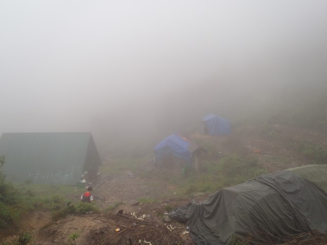
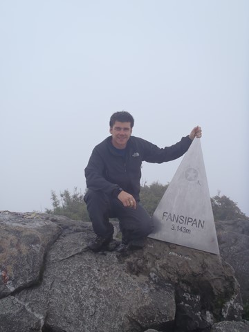
Mt Fansipan (Phan Xi Pang)
Fansipan is a mountain in Vietnam, the highest in Indochina (comprising Vietnam, Laos, and Cambodia), at 3,143 metres (10,312 ft). It is located in the Lào Cai province of Northwest Vietnam, 9 km southwest of Sa Pa Township in the Hoang Lien Son mountain range. Fansipan is dubbed "the Roof of Indochina"; it is to be approved as one of the very few ecotourist spots of Vietnam, with about 2,024 floral varieties and 327 faunal species.[
Walks in Queensland
5
km
return
90
mins
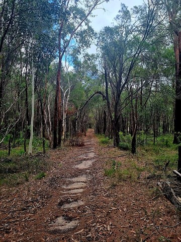
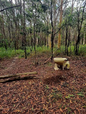
Bayview Conservation Area (Kidd Street Entrance)
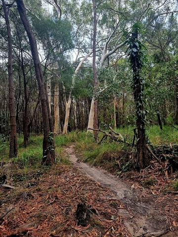
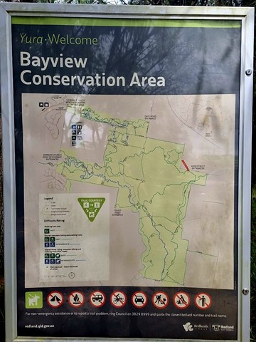
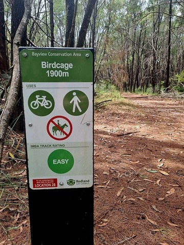
Multiple trails that crisscross the area. Includes the Birdcage Trail, an easy 1900m walk that is one of the many trails through the Bayview Conservation Area. Glimpses of the ever-growing suburbia nearby, the track winds through natural bushland with many native grass trees. Passes the "birdcage" itself, a quirky work of imagination. As of July, 2025, the area was heavily battered by "Alfred" and next to it commenced a huge housing development. Likely, there will be another trailhead/ access in years to come.
 1
km
return
30
mins
1
km
return
30
mins
Cunnamulla Bushlands
1klm gravel path walking track showcasing Mulga Lands, Sandhills, Gidgee Stands, Mitchell Grass Plains, Brigalow Country and Wetlands.
14.5
km
return
6
hrs
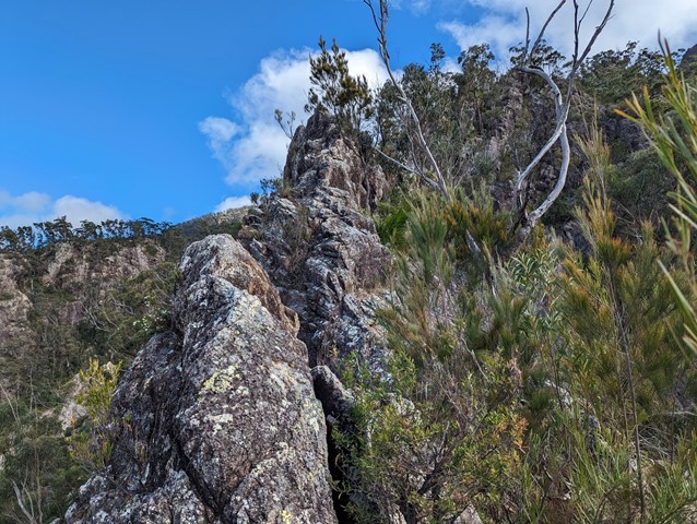
Mt Barney - Up Mezzanine - Down SE Ridge
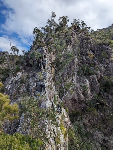
Climb Mt Barney via Mezzanine Ridge and descend via South East Ridge. It's a challenging climb with exposed cliff edges and climbing involved.
 8
km
return
3
hrs
8
km
return
3
hrs
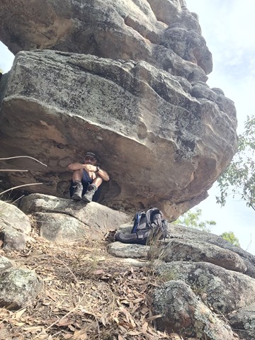
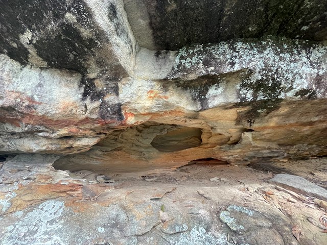
Spring Mountain via Dragon Spine (Ben Nevis Park trailhead)
From the Ben Nevis Park head through gate and up to top of first small hill then turn right onto the yaddadum trail for a few hundred metres before taking faint single track on the left marked by an ant mound. Follow trail up the ridge past balancing rock and eventually come to a steep rocky section with small scramble . From here it’s a few hundred meters to the fire rd at the base of Spring mtn. Turn left here then after a few hundred metres you Will come to a worn single track that leads to the spring mtn Sumit. Great views from the top and check out the small cave on way up. Around 8km return
Walks in Central Queensland
2.3
km
return
90
mins
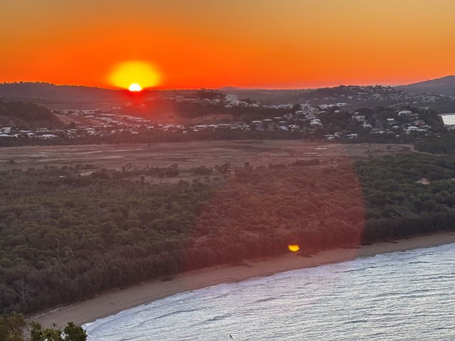
Bluff Point Walking Track
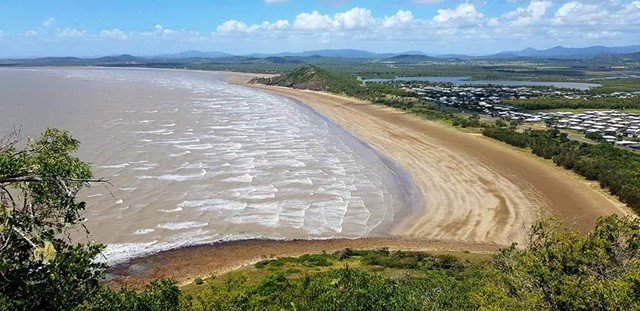
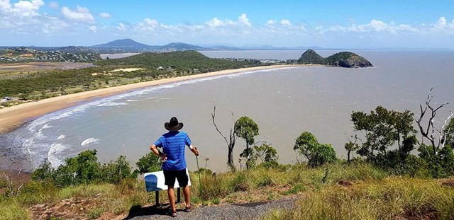
Good enjoyable walk, I'd say it a medium difficulty level for beginners. Use to run it everyday with incredible lookouts over to the islands and overall an enjoyable time.
 1.4
km
return
45
mins
1.4
km
return
45
mins
Bracken Fern Way
A short walk at the top of Mt Archer to a lookout over southern Rockhampton.