
Menu
Popular Walks
-
Mt Ngungun
(1145 ticks) -
Mount Coolum
(864 ticks) -
Mt Warning Summit Trail
(759 ticks) -
Mt Cordeaux
(659 ticks) -
Twin Falls Circuit
(630 ticks)
Popular Walks
-
Mt Ngungun
(1145 ticks) -
Mount Coolum
(864 ticks) -
Mt Warning Summit Trail
(759 ticks) -
Mt Cordeaux
(659 ticks) -
Twin Falls Circuit
(630 ticks)
Sub-Regions
Walks in South East Queensland
(Queensland)
 5.2
km
return
5.2
km
return
 1
hr
1
hr
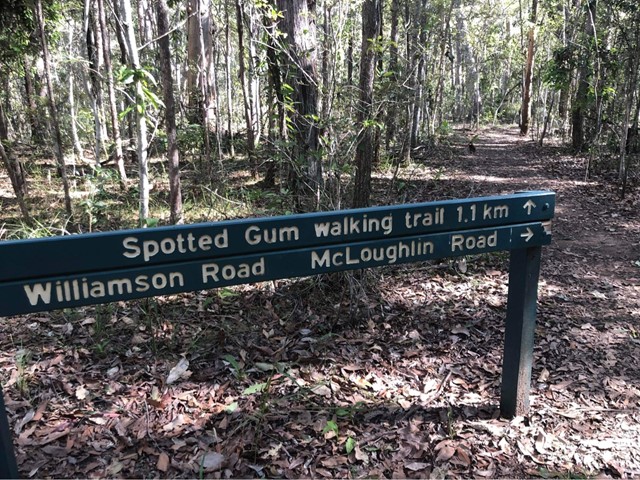
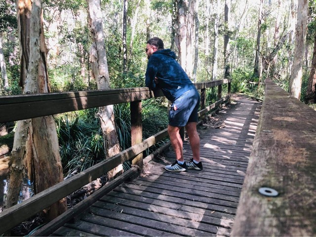
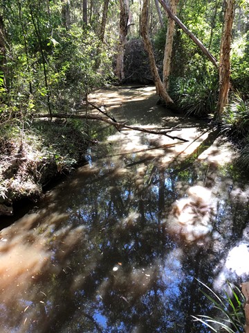
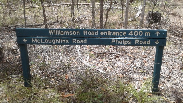
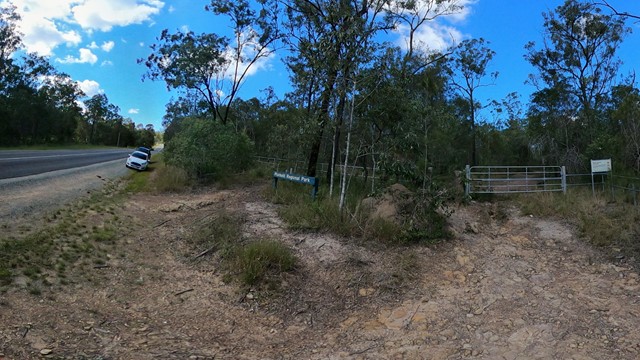
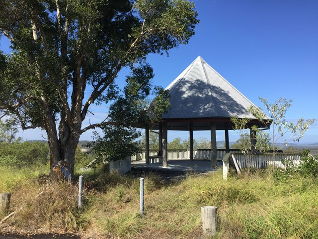
Sheep Station Creek Conservation Park
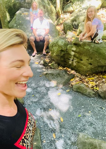
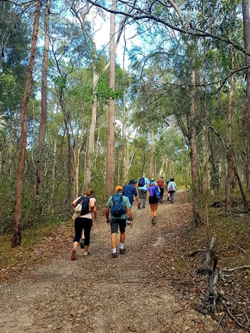
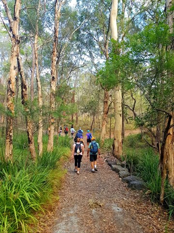
Protected since 1977, the best kept bushwalking Brisbane North secret of Sheep Station Creek Conservation Park offers walkers and horse riders a quiet and easy escape into nature. Nothing too strenuous, good for families, no need to be super-fit to enjoy this pleasant walk in a bushy environment.
Named after the prominent koala food trees found within its 231 hectares, the bushland reserve is abundant in wildlife including different species of birds, reptiles, butterflies, marsupials and mammals, its open, grassy forests providing an ideal habitat for the resident koala, wallaby, short-beaked echidna, and locally threatened Greater Glider families. Described as the last piece of original bush in the area, it's great to see it's been preserved.
 4
km
return
2
hrs
4
km
return
2
hrs
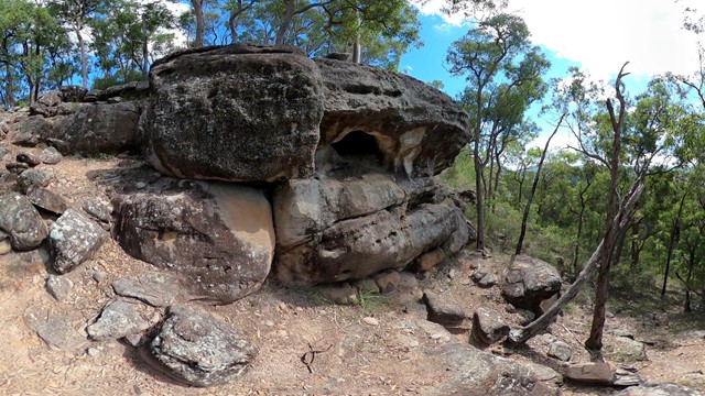
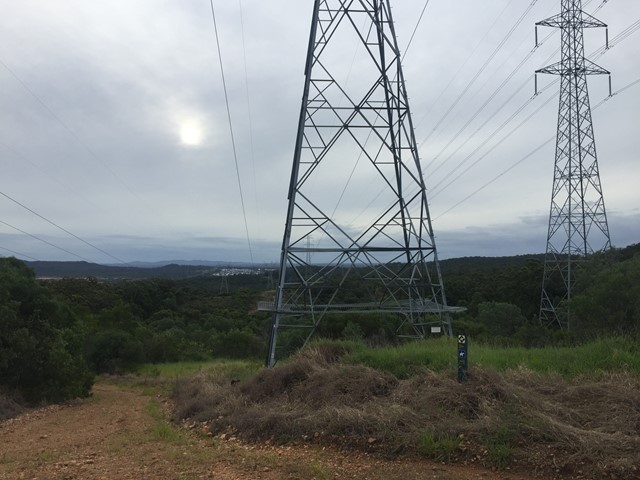
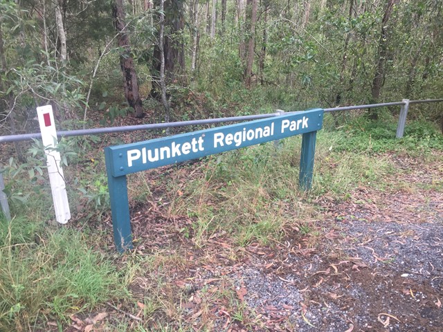
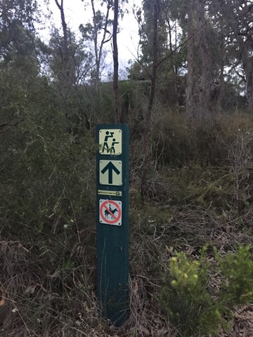
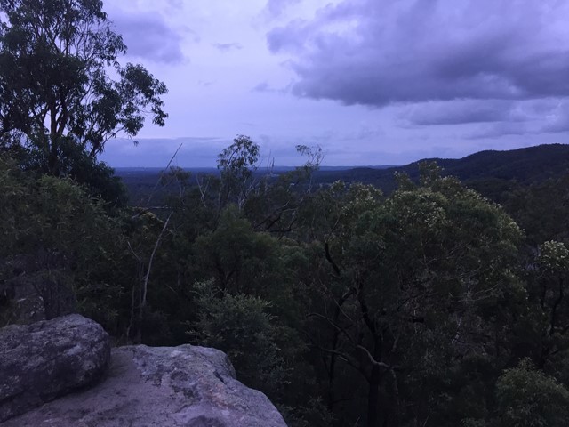
Small Cave (Plunkett Conservation Park)
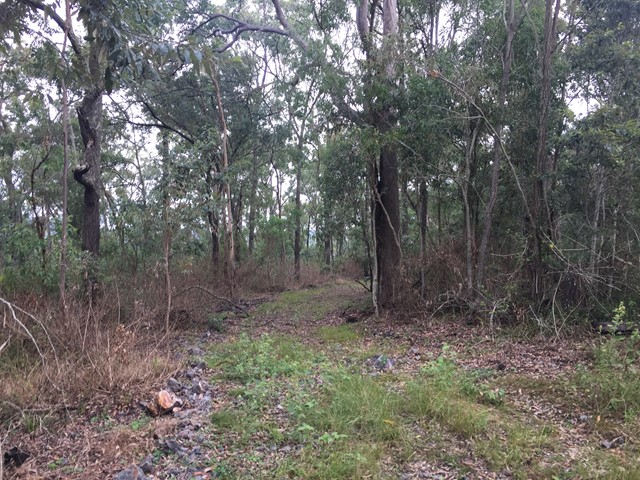
This walk takes you through fairly open bushland, up an incline to a conglomerate rock outcrop with views of the Cedar Creek Valley.The paths in this reserve are mostly wide enough to fit a ranger's car but are quite rocky and steep in some places. You are able to cycle, horseride and walk your dog here (but no motorbikes).
 5
km
return
3
hrs
5
km
return
3
hrs
St Helena Island Walk - Moreton Bay
A short walk in St Helena Island National Park surrounded by colonial ruins.
1
km
return
1
hr
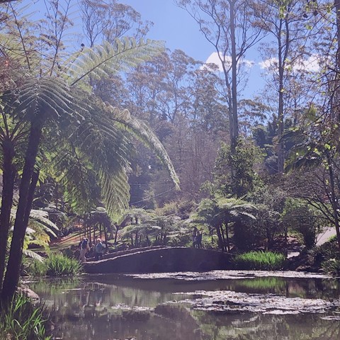
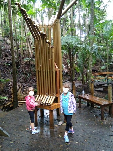
Tamborine Mountain Botanic Gardens
Perfect with children. Easy walk, beautiful environment. Network of sealed pathways. Lots of benches to sit and enjoy.
 1.5
km
return
1
hr
1.5
km
return
1
hr
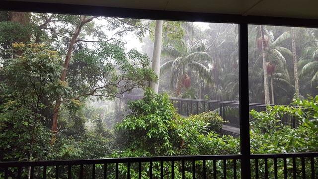
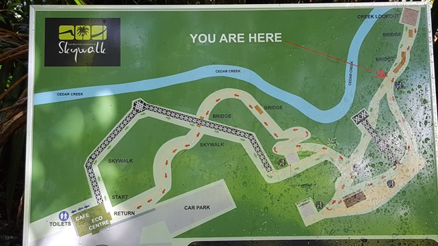
Tamborine Rainforest Skywalk
A spectacular elevated walkway through the beautiful middle and upper canopies of the rainforest. The walkway is a stable, high-tech steel structure enabling visitors to explore these canopies in a safe and secure way. It ascends gradually through the lower canopy and follows points of interest including rock pools and tumbling creeks, a butterfly lookout, local history enclosure and sheltered rest areas along the way until reaching the amazing Cantilever. This is a 40 metre long span soaring 30 metres above the valley, with spectacular views over the creek and the rainforest canopies below.
 7.5
km
2
hrs
7.5
km
2
hrs
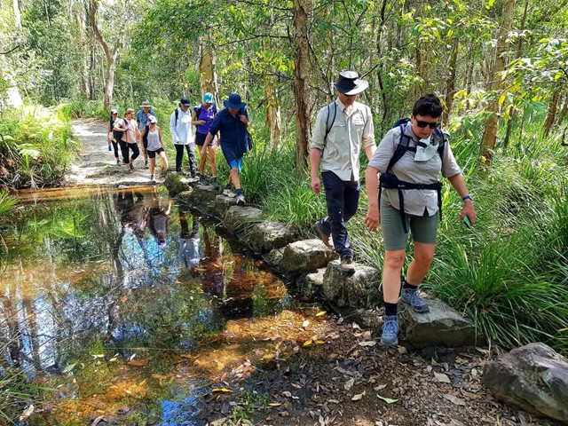
Venman Circuit
This hike has 2 trails through some amazing Australian Eucalypt forests. The Tingalpa Creek track is short, while Venman circuit takes longer, but can connect to other parks to the NW. Can be a bit slippery after rain. Three stepping stone crossings in the wet - can be a bit slippy.
Why not drop in to the Nursey/Cafe afterwards and give Shadow a corner of your pumkin scone.
 2
km
return
30
mins
2
km
return
30
mins
Veresdale Walk
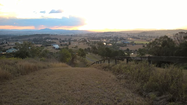
King Coolum Reserve - A short walk with a few steep hills leading to a picnic area, with nice views over the scenic rim.
 3
km
return
45
mins
3
km
return
45
mins
Wickham National Park High Point
A walk from the end of Flesser Road through Plunkett Conservation Park and into Wickham National Park and to the highest point in the National Park.
 7
km
return
2
hrs
7
km
return
2
hrs
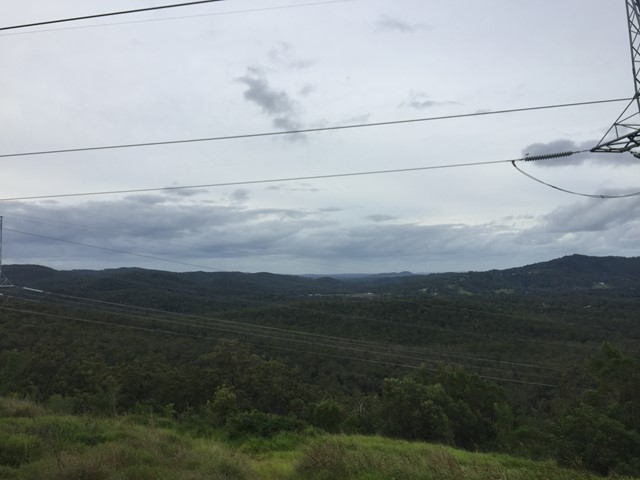
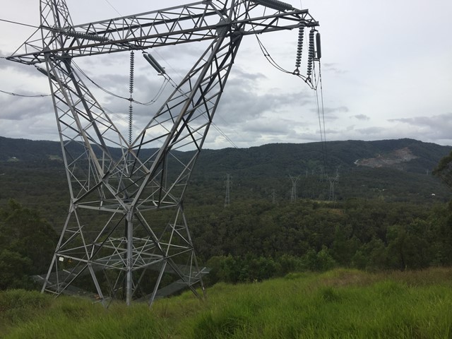
Wickham Peak - Calytrix Circuit (Wickham Timber Reserve)
A sandstone adventure that climbs to the top of Wickham Peak which gives views of Brisbane City to the North and Mt Barney to the South. Once on top of the ridge the trail traverses heath country which has wildflower displays in Spring.
This walk is best in early morning or late afternoon in the summer months as it can be extremely hot in the middle of the day.
 13
km
return
13
km
return
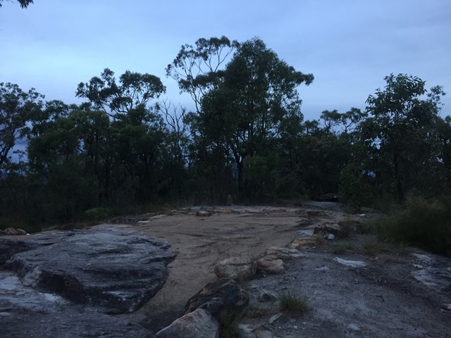
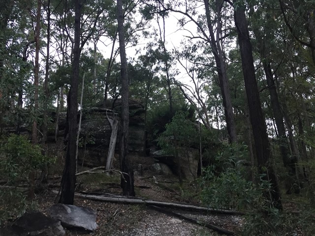
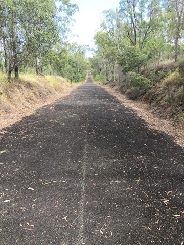
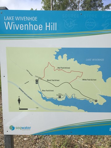
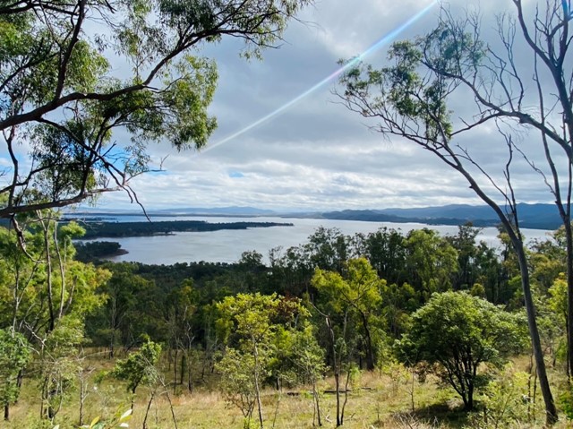
Wivenhoe Hill
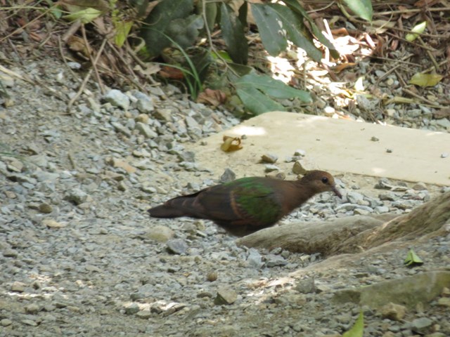
A 13km walk along/around a section of the Wivenhoe dam. Scenery changes, from water views, open grassland, bush and rocky outcrops over undulating ground. Opportunity to see Whiptail Wallabies, Koalas, Red Wren and other bird species.