
Menu
Popular Walks
-
Mt Ngungun
(1145 ticks) -
Mount Coolum
(864 ticks) -
Mt Warning Summit Trail
(759 ticks) -
Mt Cordeaux
(659 ticks) -
Twin Falls Circuit
(630 ticks)
Popular Walks
-
Mt Ngungun
(1145 ticks) -
Mount Coolum
(864 ticks) -
Mt Warning Summit Trail
(759 ticks) -
Mt Cordeaux
(659 ticks) -
Twin Falls Circuit
(630 ticks)
Sub-Regions
Walks in Carnarvon National Park
(Central Queensland, Queensland)
 900
m
return
900
m
return
 30
mins
30
mins
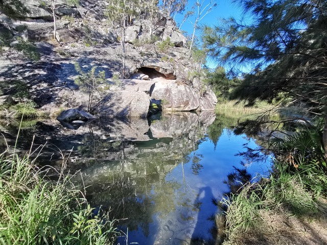
Rock Pool
The Rock Pool has been carved from the bed of Carnarvon Creek by the turbulent water of past floods. Rest in the shade of fig and casuarina trees and watch for platypus and turtles. Stop at the first pool if you must but there is a much bigger and deeper second pool just downstream. The picnic area includes toilets but no longer has a gas barbecue. This is the only place in Carnarvon Gorge designated for swimming.
 8
km
4
hrs
8
km
4
hrs
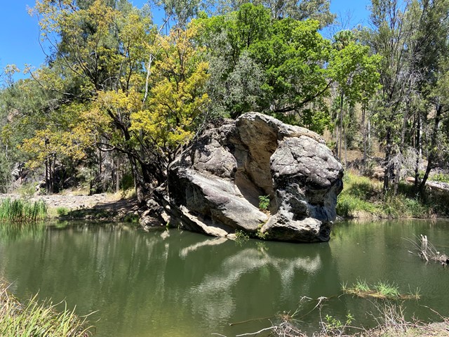
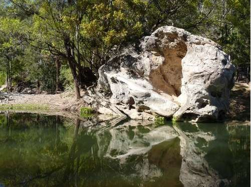
Salvator Rosa
Spy glass peak and surrounding sandstone features make this walk very interesting for photography. The natural wall near the peak appears as if man made.
1
km
return
30
mins
Takarakka Lookout
A great opportunity to climb to the lookout with views over to the entrance to Carnarvon Gorge some 4km away. Great place for a evening drink while watching the sun set in the distance. Don't be surprised to meet a few of the 'locals' on your way.
 1.4
km
return
30
mins
1.4
km
return
30
mins
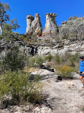
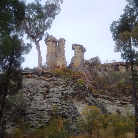
The Chimneys - Mt Moffat
Nice easy walk to some stunning sandstone rock features.
 4.2
km
return
1
hr
4.2
km
return
1
hr
Tomb Art Site - Mt Moffat
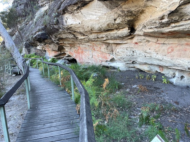
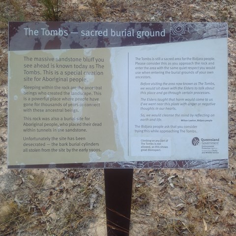
More than 400 stencilled motifs (images) decorate the walls of a sandstone shelter below the bluff of sandstone known as The Tombs. The Tombs once contained burial chambers for local Aboriginal people. Skeletons were wrapped and bound in bark burial cylinders. Sadly, by the end of the 20th century, the site had been robbed of this material, leaving little evidence of an elaborate mortuary culture. Take a close look at the rock art from a boardwalk with seats.
 9.8
km
return
4
hrs
9.8
km
return
4
hrs
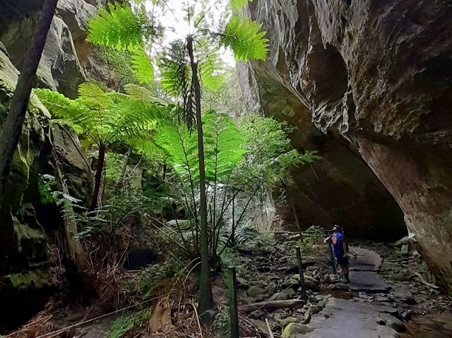
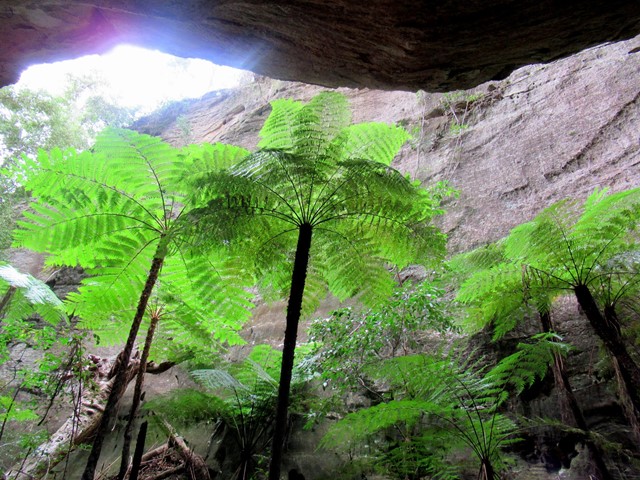
Wards Canyon
Ward's Canyon is a cool place to visit on a hot day. It is home to the world's largest fern; the King Fern Angiopteris evecta. These impressive green 'dinosaurs' have strong links with the ancient flora of Gondwanan origin. A short, steep rise up through spotted gums leads to the lower falls and then further into the shaded canyon.
 3.1
km
return
1
mins
3.1
km
return
1
mins
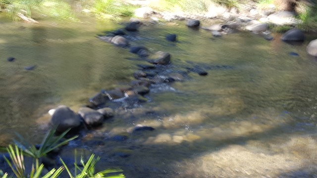
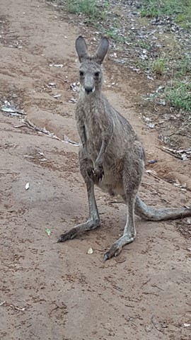
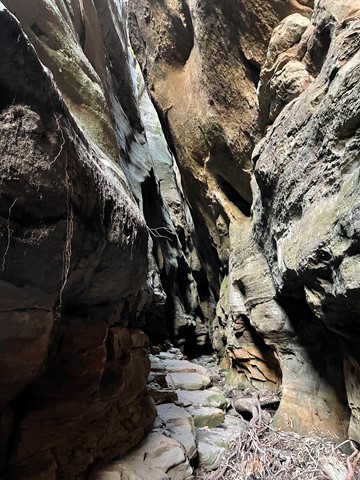
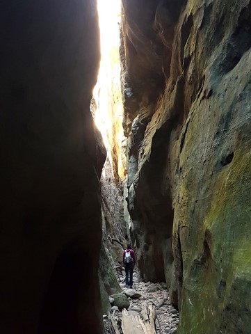
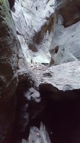
Warrumbah Creek
Similar to Mickey Creek, this is a scramble up the creek course, crisscrossing the creek and finding your own way around and over boulders, along ledges and through narrow crevices.
Walks in Expedition National Park
(Central Queensland, Queensland)
800
m
30
mins
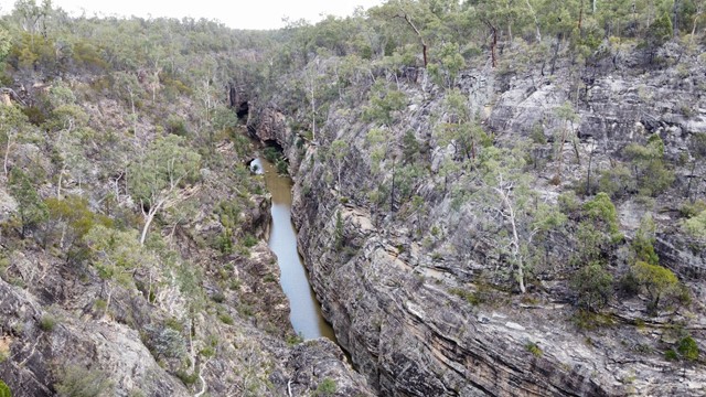
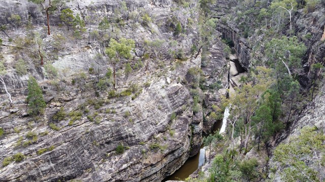
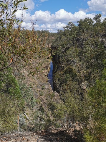
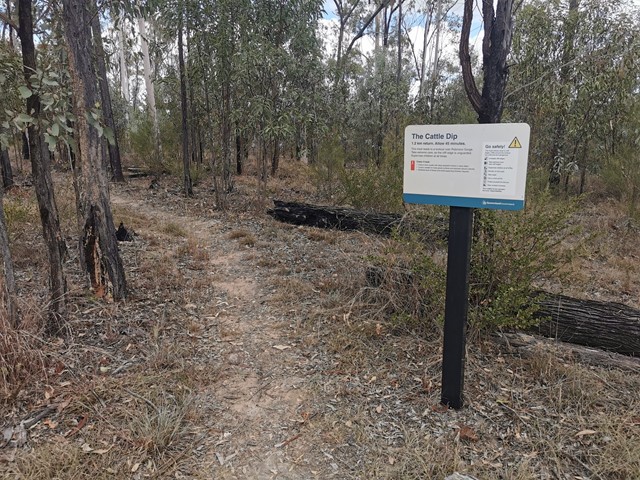
Cattle Dip Track
An easy walk through open woodland to look out over the "cattle dip" - a spectacular permanent, aptly named water hole in Robinson Gorge. No access from the lookout to the water hole without climbing gear.
 460
m
return
30
mins
460
m
return
30
mins
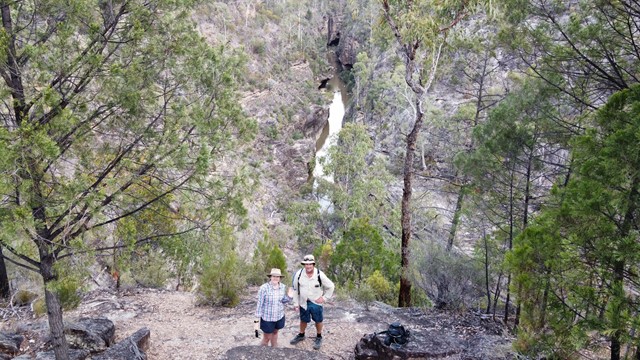
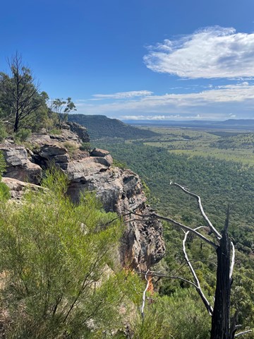
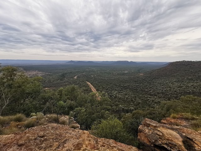
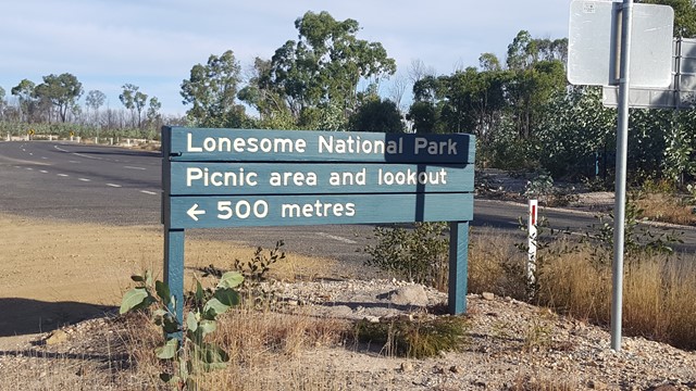
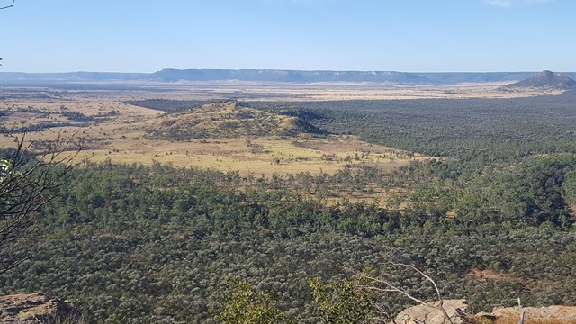
Lonesome Lookout
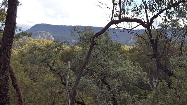
This high vantage point provides fantastic views up along the Arcadia Valley and across the Dawson River to the unreal Expedition National Park's sandstone escarpment: to Pyramid Hill, Sphinx, Castle Hill and Battleship.
 15
km
4
hrs
15
km
4
hrs
Lonesome Trail
Expedition National Park - Lonesome Section. Good views of Arcadia Valley to the north. Remote walk.