Menu
Suggested searches
Your search found 510 results...

 6
km
6
km
 3
hrs
3
hrs
The Northbrook River Trail (Northbrook Gorges)
Brisbane Forest park D'Aguilar National Park
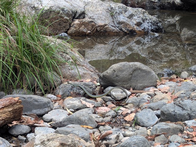
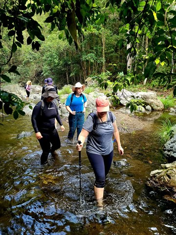
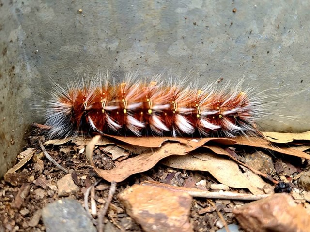
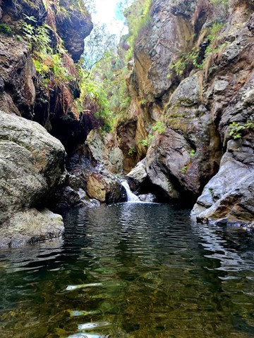
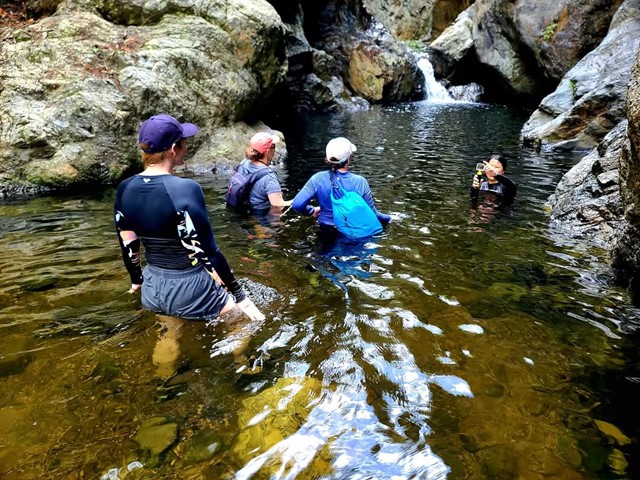
Northbrook Gorge walking and swimming. Beautiful scenery and vegetation. Make sure you pick a nice warm day and bring sturdy shoes your are willing to get wet. the gorges at the end are "gorge-ous", first one you can wade (keep right), second one you definetely in for a swim if you want to cross it.
 3.3
km
return
90
mins
3.3
km
return
90
mins
Moreton Terrace Park
South East Queensland
Lovely flat walk long boardwalk and sandy track taking around 1.5 hours return, through mangroves and out to Caboolture river mouth. Broad views across Moreton Bay, shady and easy. At the board walk end cross the dog off-leash area and you see the sandy path begin, follow your walk through the mangroves at high tide or take the beach, however, the track remains in the mangroves for the most. You end at the point of the Caboolture River.
8
km
one-way
2
hrs
Fernvale to Lowood - Part of BVRT
Brisbane Valley Rail Trail
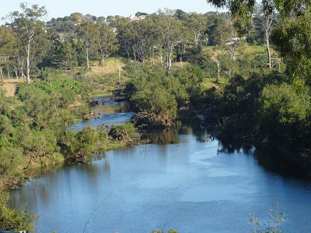
For the most part this section of the walk follows beside the Brisbane Valley Highway ie it gets noisy and there really isn't much in the way of shade at all. However, the views are nice looking out towards to the mountains and onto Lowood. Heading in to Lowood you'll meet up with a bend in the Brisbane river with some lovely views downstream, and a large colony of bats making home in the trees. Arriving into Lowood, you'll be rewarded with the first section of actual railway for the trail; Lowood was the original terminus for the BVRT. Lowood has a pub, bakery and nice cafes for refreshments.
 2.4
km
90
mins
2.4
km
90
mins
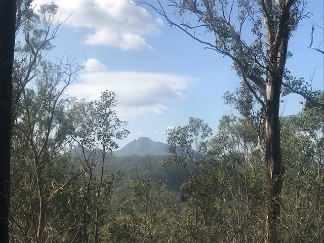
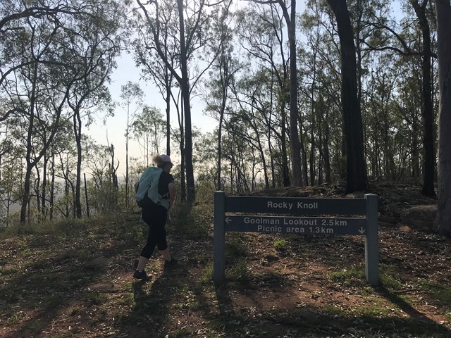
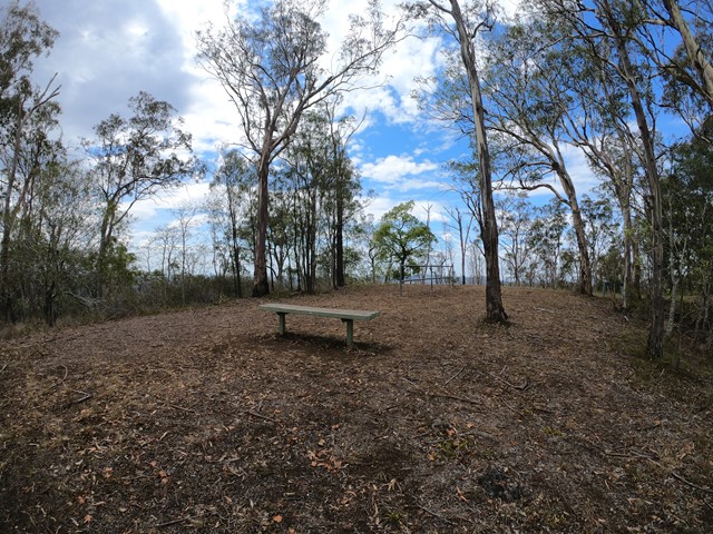
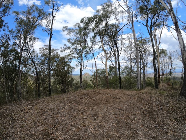
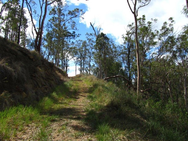
Rocky Knoll Lookout
Ipswich - Flinders Goolman Conservation Estate
Entry is from Hardings Paddock Picnic Grounds -
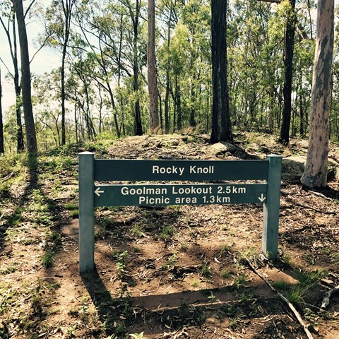
A moderate level hike through eucalypt woodlands to
Rocky Knoll lookout. Glimpses of the scenic rim and the
surrounding Ipswich area are provided along the way.
 500
m
30
mins
500
m
30
mins
Melaleuca Circuit
Ipswich - Purga Nature Reserve
The Purga Nature Reserve allows visitors to view the largest
protected area of endangered Swamp Tea Tree forest in
Ipswich. These self-guided walks provide visitors a unique
opportunity to explore vegetation and watch wildlife while
only 15 minutes from Ipswich Central.
3
km
1
hr
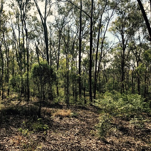
Gamlen Circuit
Ipswich - Flinders Goolman Conservation Estate
Entry to this walk is from Hardings Paddock Picnic Area -
Take a hike or short, leisurely mountain bike ride along this
circuit or use it as the launching pad for longer and more
challenging trails including the Goolman and Rocky Knoll
Lookouts, and Boonah to Ipswich Trail.
 7.4
km
2
hrs
7.4
km
2
hrs
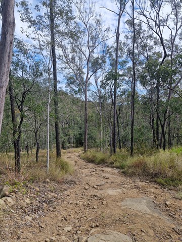
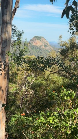
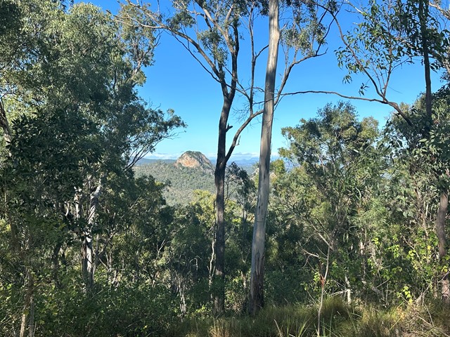
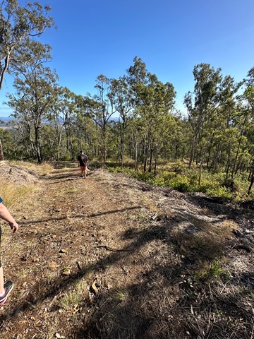
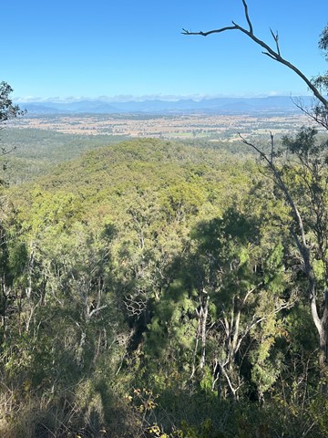
Goolman Lookout via Rocky Knoll
Ipswich - Flinders Goolman Conservation Estate
Entry is from Hardings Paddock Picnic Area
An alternative and slightly longer route to Goolman Lookout
skirting around the base of the Rocky Knoll. Be weary that this has some steep sections. To avoid slipping down the slope It is better to go via the Goolman Lookout track then return via Rocky Knoll.
 7
km
return
2
hrs
7
km
return
2
hrs
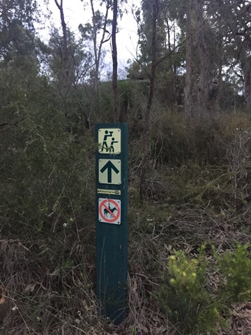
Wickham Peak - Calytrix Circuit (Wickham Timber Reserve)
South East Queensland
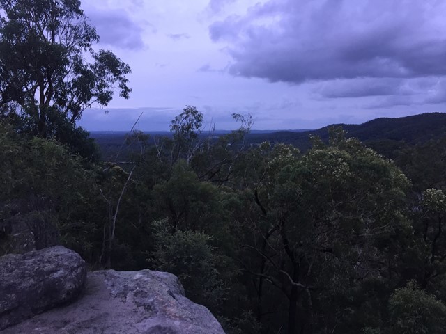
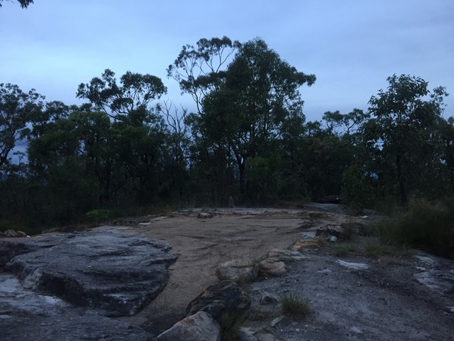
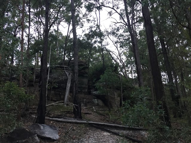
A sandstone adventure that climbs to the top of Wickham Peak which gives views of Brisbane City to the North and Mt Barney to the South. Once on top of the ridge the trail traverses heath country which has wildflower displays in Spring.
This walk is best in early morning or late afternoon in the summer months as it can be extremely hot in the middle of the day.

 560
m
10
mins
560
m
10
mins
Chalk Circuit
Ipswich - Flinders Goolman Conservation Estate
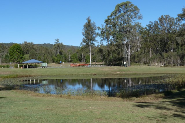
Entry to this walk is from Harding's Paddock Picnic Area - Encompassing the Picnic and Bush Tucker areas, this trail is flat and easily accessible for all levels of fitness. Along the trail learn about various bushtucker plants through interpretive signage from both an Indigenous and European perspective.
Walk takes approx 5-10mins
 6
km
2
hrs
6
km
2
hrs
Goolman Lookout
Ipswich - Flinders Goolman Conservation Estate
Entry is from Hardings Paddock Picnic Area
Forming part of the Boonah to Ipswich Trail this multi-user trail winds its way to Goolman Lookout where you enjoy spectacular views of Mt Goolman and Ivory’s Rock, Scenic Rim and Brisbane. On a clear day it is possible to see the
Pacific Ocean.