


Menu
Suggested searches
Your search found 510 results...

 10
km
10
km
 4
hrs
4
hrs
Middle Kobble bush camp walk
D'Aguilar National Park
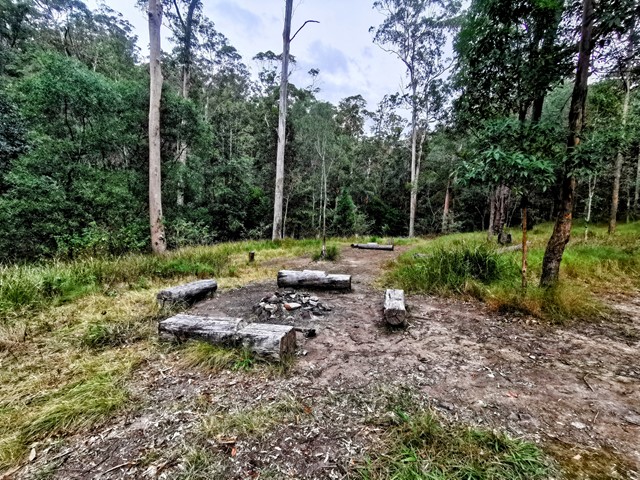
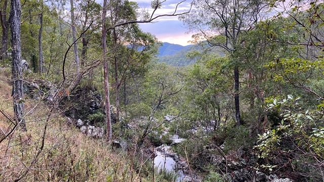
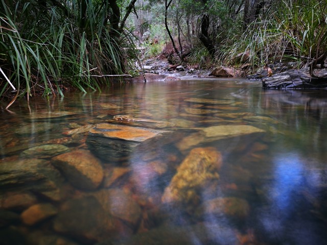
Remote bush camping in an open grassy area next to Kobble Creek, in the remote northern section of the park. A short walk takes you to the top of the Kobble Creek waterfall. Keep an eye out for the prehistoric-looking Lepidozamia (cycads) on your walk to the bush camp. Skinks and keelbacks (freshwater snakes) can be seen basking on the rocks at the top of Kobble Creek waterfall. Bottlebrush plants flower along the creek beside the bush camp in spring.

 300
m
return
5
mins
300
m
return
5
mins
Tenison Woods Mountain
D'Aguilar National Park
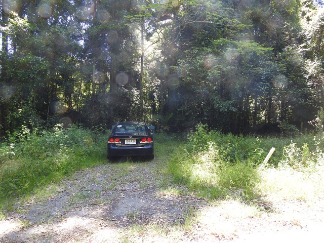
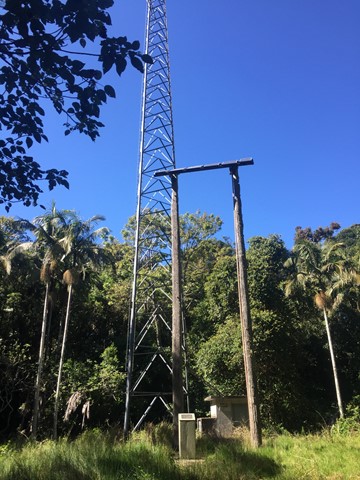
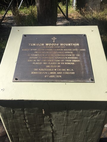
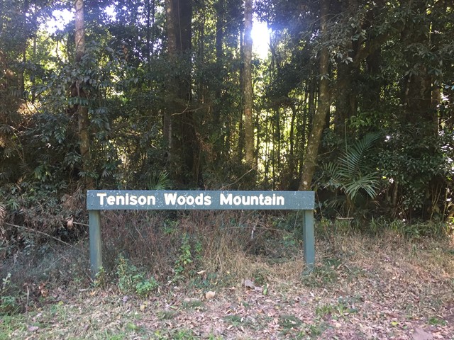
A short walk to the summit of Tenison Woods Mountain the tallest mountain in the D'Aguilar Range at 770 metres through some rain forest to the summit clearing with repeater tower.

 4
km
one-way
1
hr
4
km
one-way
1
hr
Wulkuraka Station to Diamantina Boulevard - Part of BVRT
Brisbane Valley Rail Trail
This first part of the BVRT (Brisbane Valley Rail Trail) is only 3.8kms of very easy walking along paved pathways between residential and bushland. As the name suggests this is along the old Brisbane Valley Railway, the whole trail is approximately 161kms finishing in Yarraman.
2.5
km
one-way
90
mins
Lepidozamia Remote Bush Camp
D'Aguilar National Park
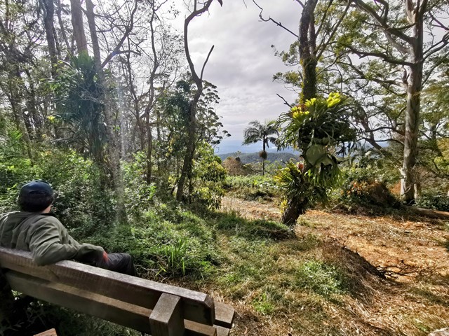
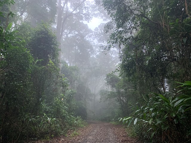
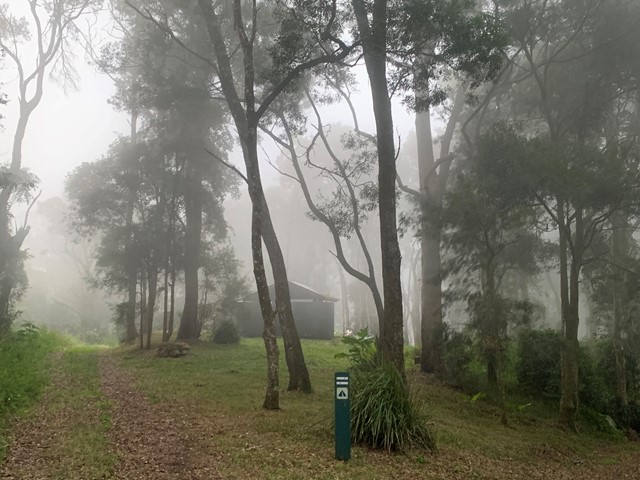
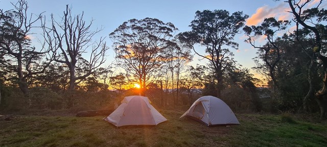
A pleasant 2.5km walk along a well maintained access track through rainforest and wet eucalypt forest leading to a spacious, well equipped remote campsite. The campsite offers a hut with benches and a picnic table, two large water tanks, and seating around a fire pit. There are sunset views over the range when looking to the west and, to the east, you can enjoy views of the sunrise, Moreton Bay, and Brisbane lights at night. If you’re lucky you will also see the fireflies flitting around the camp.

 5
km
return
90
mins
5
km
return
90
mins
Bayview Conservation Area (Kidd Street Entrance)
Queensland
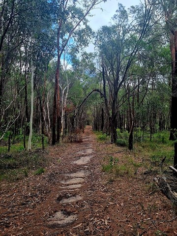
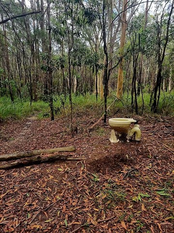
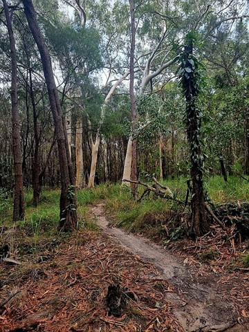
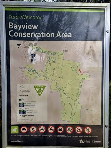
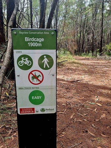
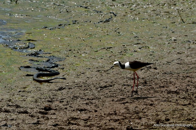
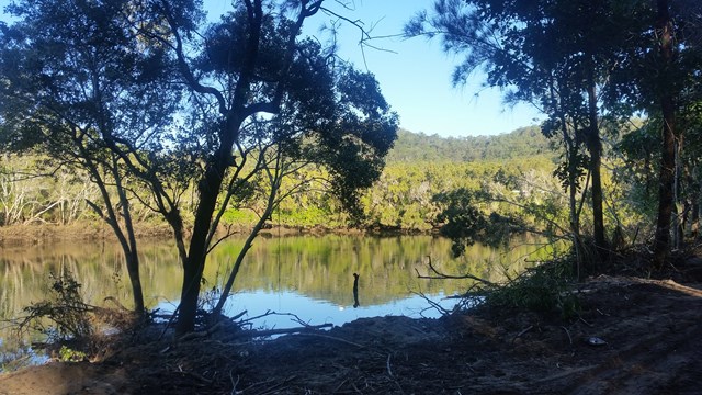
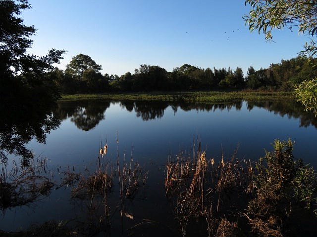
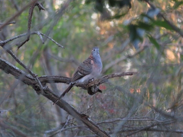
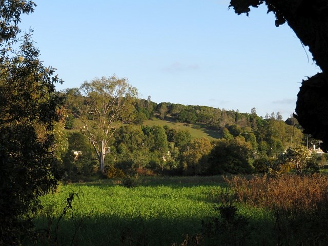
Multiple trails that crisscross the area. Includes the Birdcage Trail, an easy 1900m walk that is one of the many trails through the Bayview Conservation Area. Glimpses of the ever-growing suburbia nearby, the track winds through natural bushland with many native grass trees. Passes the "birdcage" itself, a quirky work of imagination.
As of July, 2025, the area was heavily battered by "Alfred" and next to it commenced a huge housing development. Likely, there will be another trailhead/ access in years to come.
 10
km
one-way
2.5
hrs
10
km
one-way
2.5
hrs
Borallon Station Road to Fernvale - Part of BVRT
Brisbane Valley Rail Trail
This is a nice part of the BVRT, the scenery changes quite a bit along the walk, bush track to farm land to open pasture looking out to the mountains. You'll need to do a quick crossing of the Brisbane Valley Highway, easy, but just keep your wits about you. Along the way you'll pass Wanora and Fairney View stations. Just after Fairney View is a lovely little creek where a bridge once crossed, a nice spot for a break. After this there is the slightest of inclines, but that incline continues all the way to Fernvale. But once there you've got a great excuse for a pie!
500
m
return
30
mins
Windaroo Mountian
Brisbane City Council Local Walks
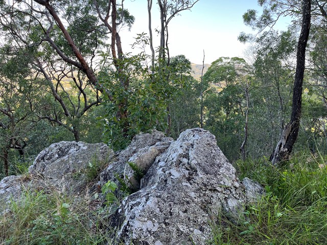
Short walk, one route is steep the other isn't not the best views on top but not bad. There are a number of trails and tracks. Nothing marked.
 300
m
return
20
mins
300
m
return
20
mins
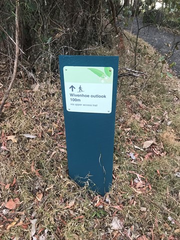
Wivenhoe Outlook
D'Aguilar National Park
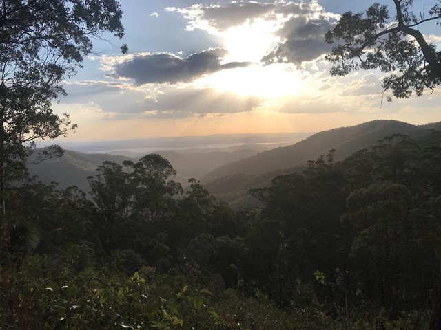
Visit the lookout for panoramic views of Northbrook Valley's green ridges and the reflective waters of Lake Wivenhoe.
Spy carpet pythons basking in the sun, or pink-tongued lizards carefully camouflaging themselves in the leaf litter. Listen for the unusual cat-like mewing cry of the catbird in the valley below.
 11
km
one-way
3
hrs
11
km
one-way
3
hrs
Northbrook Gorge via eagle's nest
D'Aguilar National Park
From Northbrook rd approx 2.5km west of the Mt Glorious township walk south on a forrestry track for 5kms before desending west on a singlebrack to Eagles nest and then descending down to the creek. head down stream bore passing through the gorge. go a further 2kms along the creek before ascending back to the road