
Menu
Suggested searches
Your search found 510 results...

 600
m
return
600
m
return
 30
mins
30
mins
Bluey’s Circuit
Ipswich - Demark HIll Conservation Park
Denmark Hill Conservation Park is within walking distance of
Ipswich Central. The main entry and parking areas are located
opposite the corner of Deebing and Clay Streets, just south
of the city centre.
Walking tracks lead to the water tower and provide 360° views
of Ipswich City and on a clear day, all the way to Brisbane.
Triassic Park, located within the park boundaries, provides
visitors with an opportunity to explore the many fossils that
were once found in the area.
1.2
km
30
mins
Willy Wagtail Circuit
Ipswich - Haig Street Quarry Bushland Reserve
Haig Street Quarry Bushland Reserve is located only five
minutes drive from Ipswich Central, yet offers spectacular
views of the Scenic Rim. From Ipswich Central travel
northwest along Burnett Road toward Brassall. Burnett Road
will become Hunter Street. Turn left from Hunter Street onto
Haig Street (travelling west) and drive directly into the main
parking area.
This park has a beautiful display of wildflowers in spring and
has many water birds that live in and around the pond.
Visitors are advised to contact Ipswich City Council on
(07) 3810 6666 for access requirements if they wish to:
• Venture away from the designated picnic area or
graded track system
• Undertake organised group activities
• Undertake activities of a commercial nature
Under Council’s Local Laws, conducting or engaging in the
following activities is prohibited:
800
m
one-way
20
mins
Bearded Dragon Circuit
Ipswich - Haig Street Quarry Bushland Reserve
Haig Street Quarry Bushland Reserve is located only five
minutes drive from Ipswich Central, yet offers spectacular
views of the Scenic Rim. From Ipswich Central travel
northwest along Burnett Road toward Brassall. Burnett Road
will become Hunter Street. Turn left from Hunter Street onto
Haig Street (travelling west) and drive directly into the main
parking area.
This park has a beautiful display of wildflowers in spring and
has many water birds that live in and around the pond.
Visitors are advised to contact Ipswich City Council on
(07) 3810 6666 for access requirements if they wish to:
• Venture away from the designated picnic area or
graded track system
• Undertake organised group activities
• Undertake activities of a commercial nature
Under Council’s Local Laws, conducting or engaging in the
following activities is prohibited:
3.1
km
return
45
mins
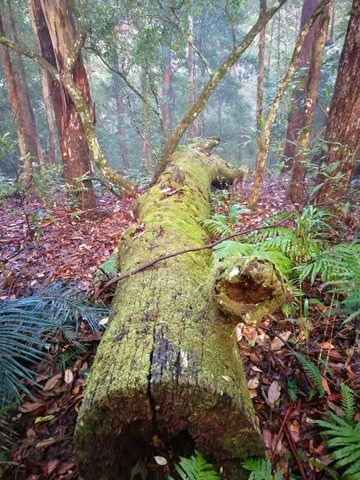
Freshwater Xanthorroea Circuit
South East Queensland
A short circuit walk in Freshwater National Park where many xanthorrhoea (grass trees) are on display.
 5.25
km
return
2.5
hrs
5.25
km
return
2.5
hrs
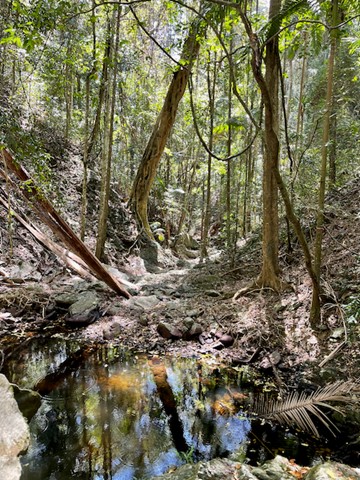
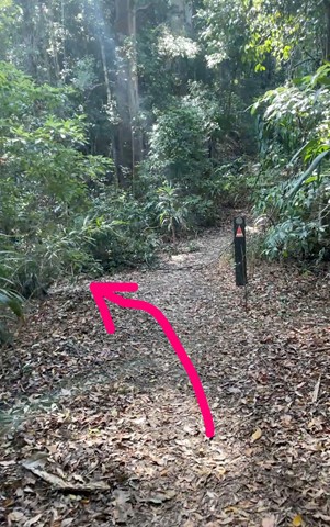
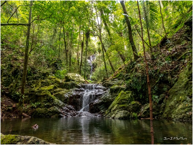
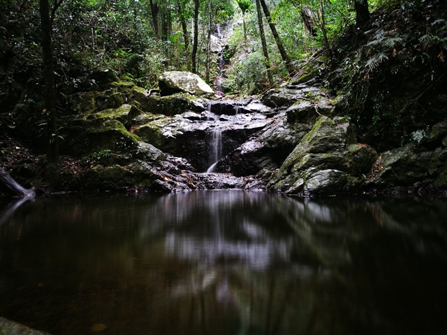
Hidden Waterfall
Brisbane Forest park D'Aguilar National Park
Neat hidden waterfall near Lepidozamia firebreak
 4.5
km
return
3
hrs
4.5
km
return
3
hrs
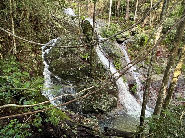
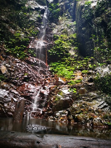
Upper Kobble Creek South Branch
D'Aguilar National Park
A nice rainforest walk that starts along and old logging trail then ends up going bush for the last stretch downhill to the creek and waterfall.
 3
km
return
40
mins
3
km
return
40
mins
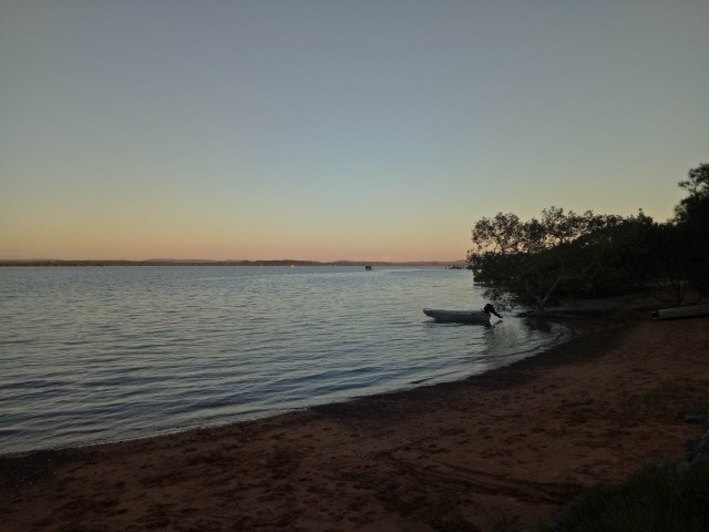
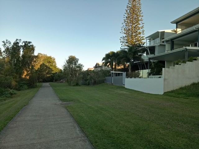
Sel Outridge Park Walk (Jack Gordon Pathway)
South East Queensland
Foreshore walk with views towards Minjerribah (North Stradbroke Island). Concrete pathway.
 5
km
return
2
hrs
5
km
return
2
hrs
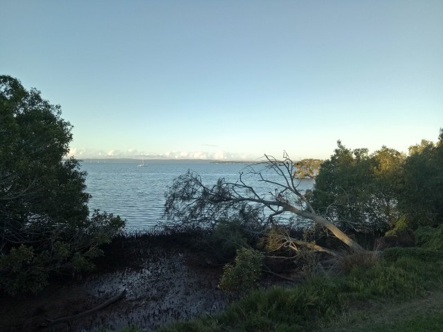
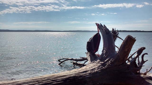
Coochiemudlo Island Walk
Moreton Island National Park
Starting from the jetty walk onto the island then turn right. Follow the trail markers around the island, some on street, but mostly bush tracks.
 3
km
return
1
hr
3
km
return
1
hr
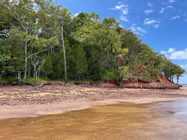
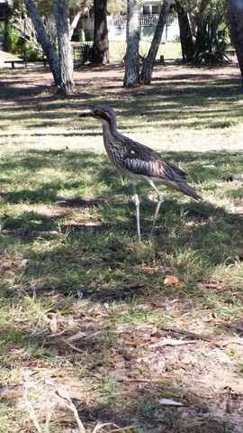
Melaleuca Wetland Reserve Walk (Coochiemudlo Island)
South East Queensland
This walk takes you around half Coochiemudlo Island anti-clockwise. Relaxed atmosphere with beach views, half way through the walk will take you through the reserve where you can easily spot some Bush Stone-curlews.
 9
km
one-way
2.5
hrs
9
km
one-way
2.5
hrs
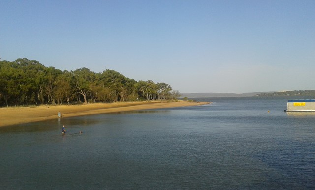
Diamantina Boulevard to Borallon Station Road - Part of BVRT
Brisbane Valley Rail Trail
10kms easy walking along the old Brisbane Valley Rail Trail. Passing old stations (or where they used to be, signs have been erected) of Muirlea, Pine Mountain and Borallon. Great for birdwatching. I would recommend for a winter walk - dappled shade, but would get very hot very quickly in summer.