
Menu
Suggested searches
Your search found 118 results...

 4.2
km
return
4.2
km
return
 2
hrs
2
hrs
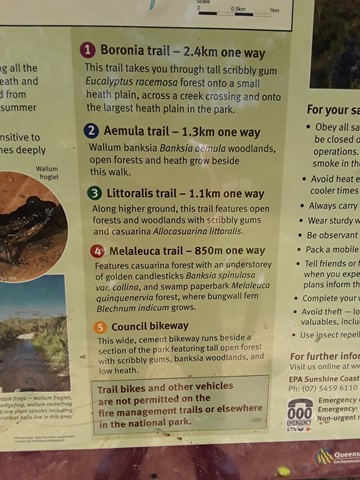
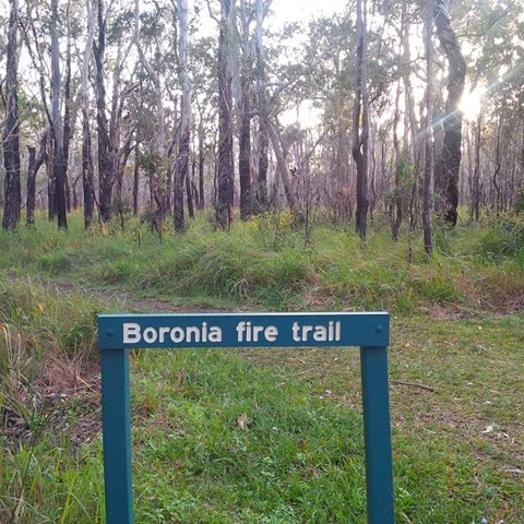
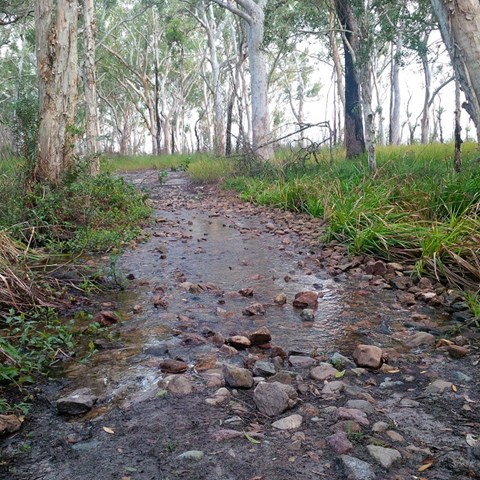
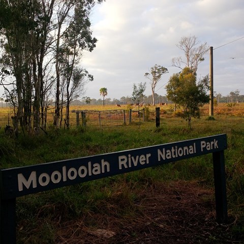
Boronia Trail
Mooloolah River National Park
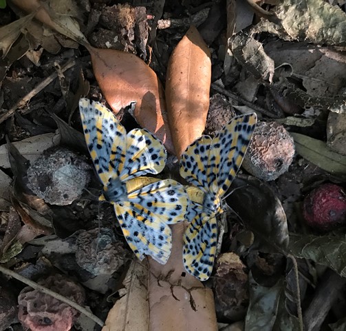
Did the full circurt , some bog holes to navigate not hard. Nice and close to home. Good bird life and some nice wild flowers out on show.
 6
km
2.5
hrs
6
km
2.5
hrs
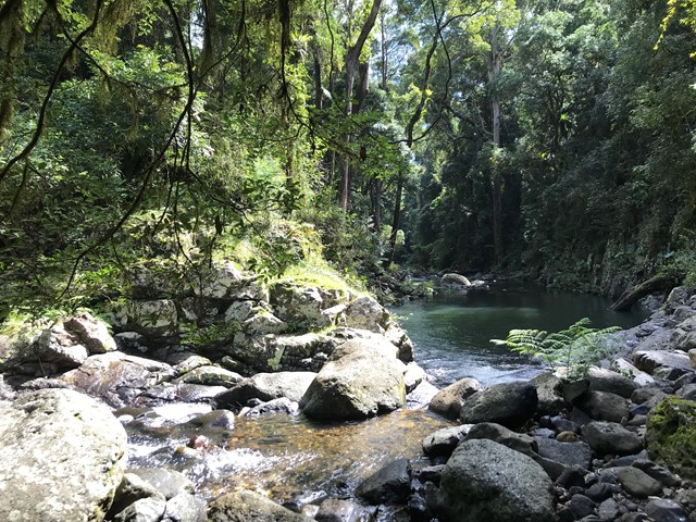
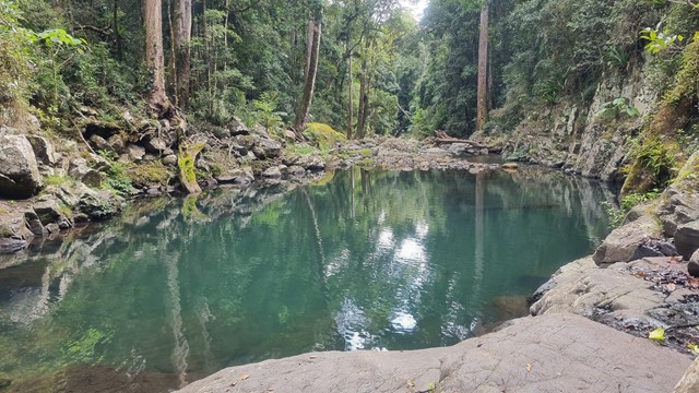
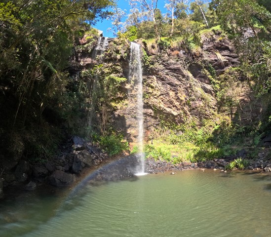
Gwongoorool Rock Pools
Lamington National Park
This track branches off the Illinbah circuit and descends through open forest and rainforest to Gwongoorool Pool on the Coomera River. Return via same track. (Illinbah circuit commences at the car park near the information centre).
 5.2
km
return
90
mins
5.2
km
return
90
mins
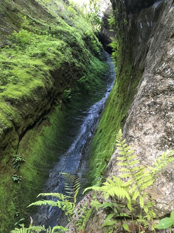
Caves Track
Lamington National Park
From the information centre, this interesting track winds up through open forest and rainforest to emerge on the road opposite the ship's Stern track entrance. It provides excellent views into the Coomera Valley and passes a large red cedar and fine specimens of other rainforest tree species. A range of volcanic rock types and formations can be observed. Koalas are often seen in open forest area along the walk. Take care when walking down the bitumen road to return to the start of the circuit, especially on weeekends when traffic is heavy. A self guiding brochure for this circuit is available at the information centre, Lamington Teahouse and at Binna Burra Lodge.
 4.8
km
return
2
hrs
4.8
km
return
2
hrs
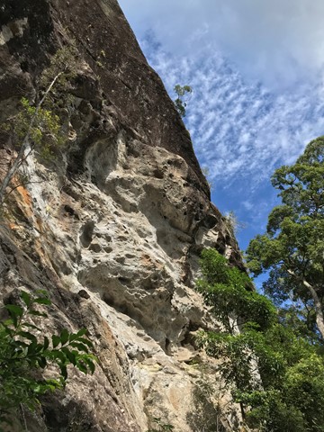
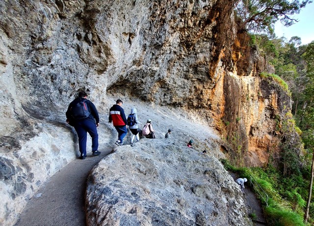
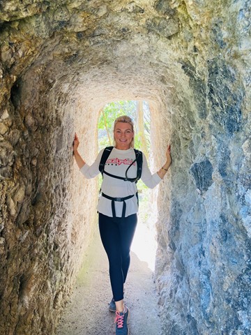
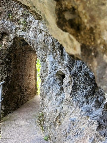
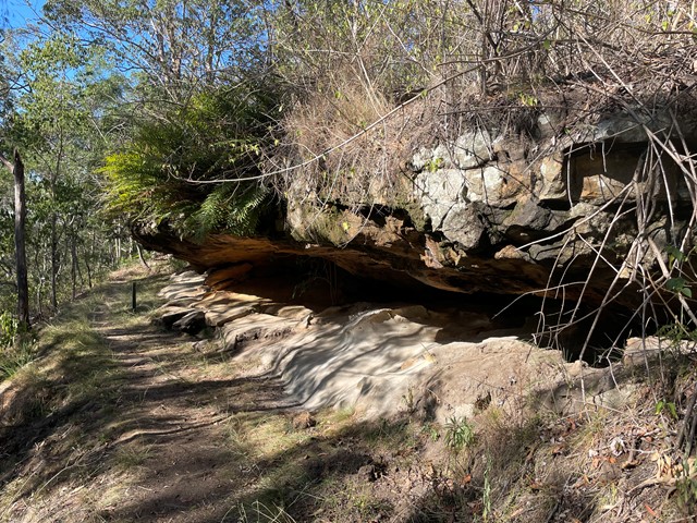
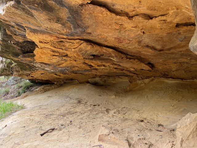
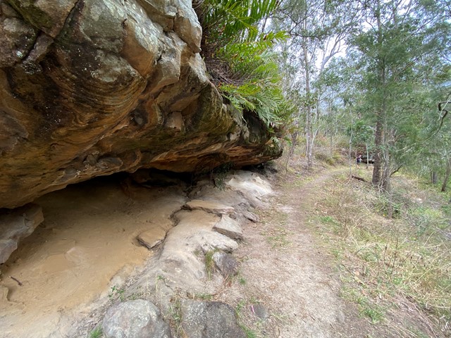
Sandstone Overhang - 'The Caves'
Ravensbourne National Park
The Sandstone Overhang is one of the hidden surprises in Ravensbourne National Park. It is reached via the Rainforest and Palm Creek Circuits, at the end of a short side-track. The 'caves' aren't large enough to explore, but there is room for children and adults to sit under the ledge in the shade of the ferns that grow along its rim.
Officially listed as Grade 3/Medium difficulty (includes some steep/natural steps), this track is suitable for walkers with a moderate fitness level.
 4
km
return
2
hrs
4
km
return
2
hrs
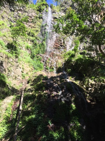
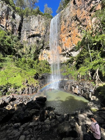
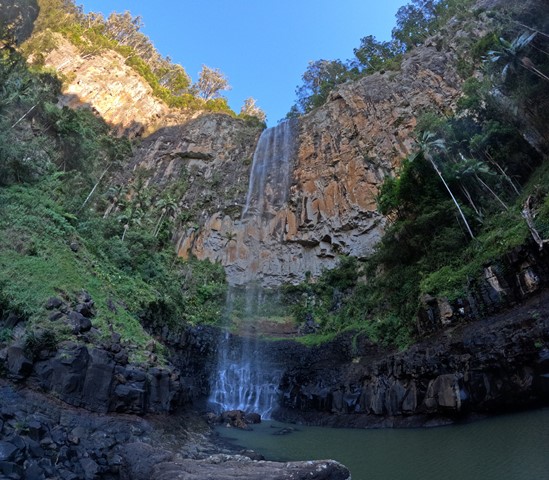
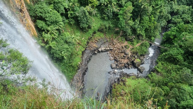
Purling Brook Falls Circuit
Springbrook National Park
Together with Twin Falls Circuit, one of the must do's in this Park. Viewpoints, waterfalls, swimming holes, wildlife, name it, it is there! Optionally add an extra 2km to reach the lower Warringa pool. Follow path clockwise to avoid walking up 450 steps!
 6
km
return
2.5
hrs
6
km
return
2.5
hrs
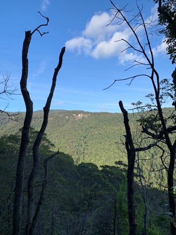
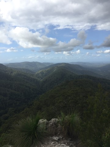
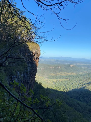
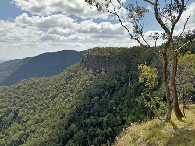
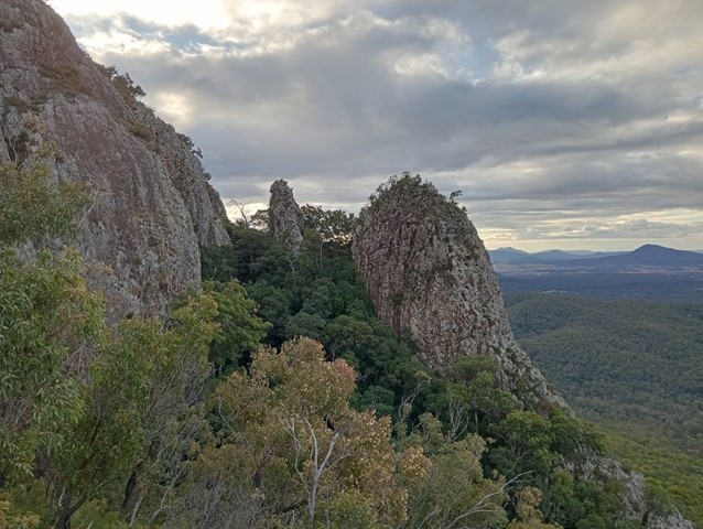
The Pinnacle and Fairview Mountain via Valley Break
Springbrook National Park
From the end of Austinville rd follow the 4wd track of Valley Break to Fairview Mountain and then turn left onto a at times overgrown single track till The Pinnacle (Springbrook Pinnacle) which is contoured around to the right where the route up becomes apparent (on the opposite side of the pinnacle as of that you approached (Southern side)). A scramble to the summit which offers 360 views.
 5
km
return
90
mins
5
km
return
90
mins
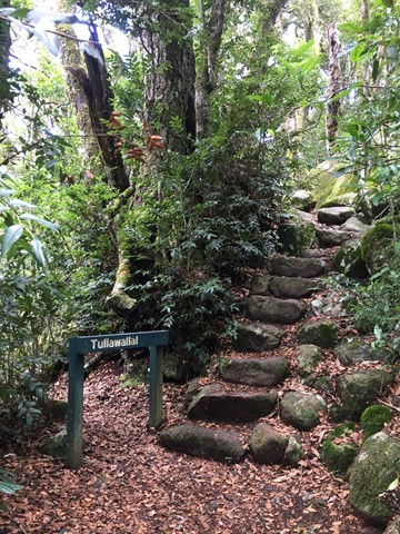
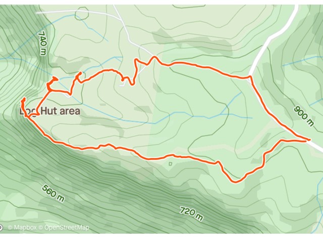
Tullawallal Circuit
Lamington National Park
This track leads through the rainforest to the summit of Tullawallal at over 950m. Also this track leads to the closest stand of Antarctic beech trees to Binna Burra. The rock formation at the end is a natural wonder that will have you guessing! Can be completed as a loop with the Border Track.
 5.4
km
return
2
hrs
5.4
km
return
2
hrs
Pats Bluff
Lamington National Park
The West Cliff Track branches to the right from the Python Rock Track and then immediately sharp left past a Black Booyong with extensive buttressing and a tall Hoop Pine 30 metres further down the track.
Pat’s Bluff affords a view over the Albert and Logan River valleys to the Great Dividing Range. Follow the cliff line down past a view of Raining Cliff to the picnic area. Pat O’Reilly’s log cabin is 70 metres in from this spot. Peregrine Falcons nest in caves in these cliffs and often rest in the dead trees above the cliff line
 5.5
km
return
2.5
hrs
5.5
km
return
2.5
hrs
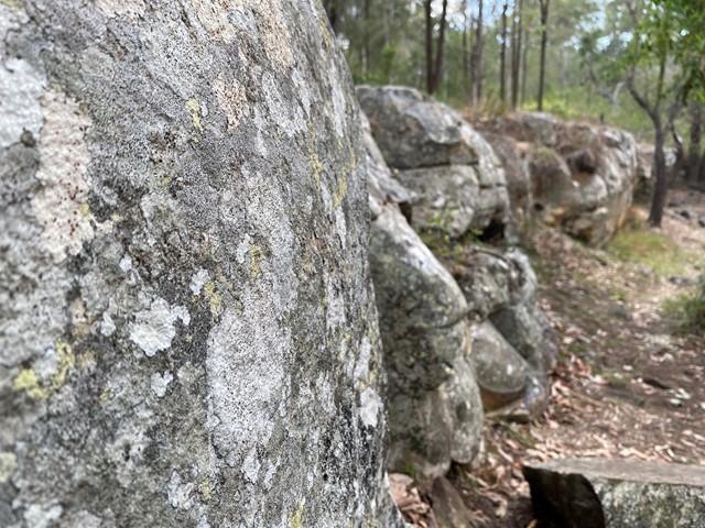
Mt Greville waterfall gorge, Northern face
Moogerah Peaks National Park
Starting from the car park ascend to the viewing rock and then head along the faint track towards south east ridge. Once at the cliff line peel of to the right and traverse along until you get to the first gully entrance seen from the viewing rock once there rock scramble up the north western ridge line to the summit. Beware there is a degree of exposure here and no marked route. The bare rock is cliff like and the gullies are extremely unstable beware of shifting rocks. Descend down south east ridge.
 6
km
return
3
hrs
6
km
return
3
hrs
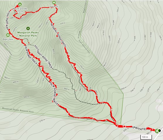
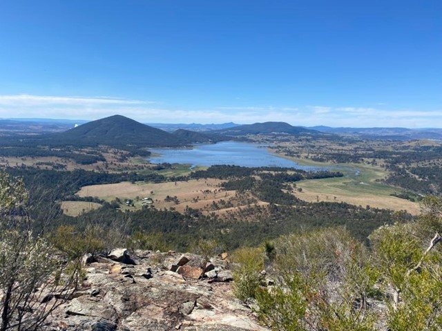
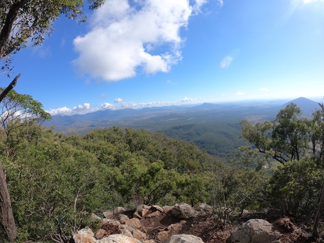
Mt Greville
Moogerah Peaks National Park
A walk up to the top of Mt Greville circa 770m. Up the waterfall gorge, then visit viewing platform rock slab near top of waterfall gorge. Alternatively, ascend via SE Ridge. Continue to summit then return via Palm Gorge.