
Menu
Suggested searches
Your search found 118 results...

 5
km
return
5
km
return
 1
hr
1
hr
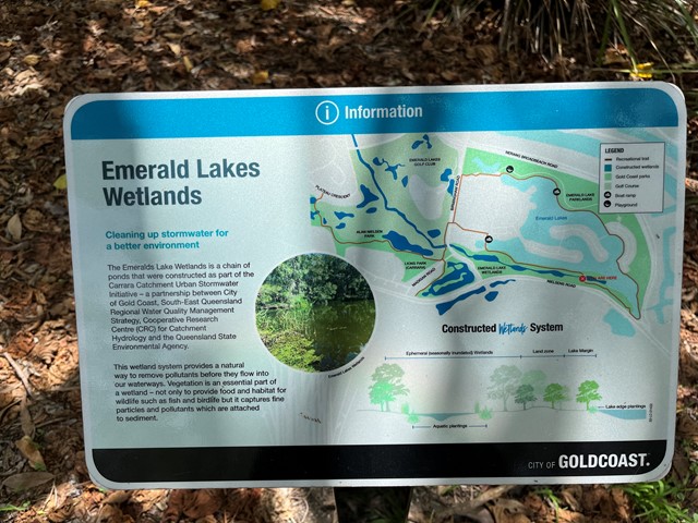
Emerald Lakes Wetlands Walk
Gold Coast
Walk around the main lake through wetland and along built up area. Water views.
 4.42
km
return
5
hrs
4.42
km
return
5
hrs
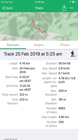
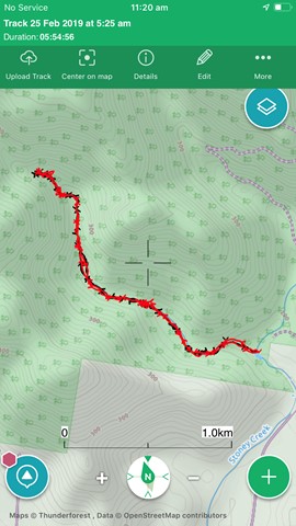
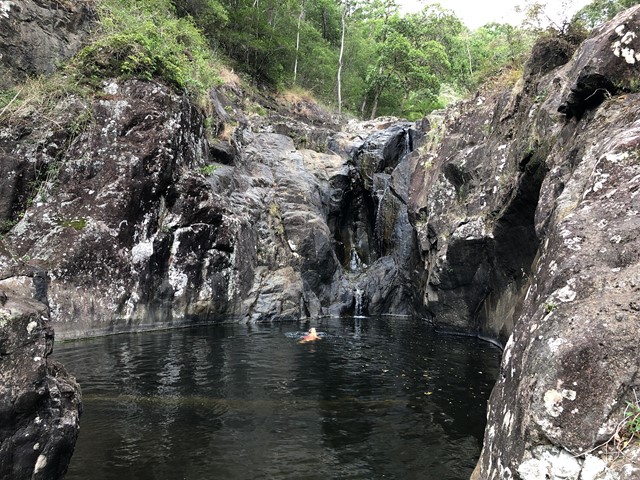
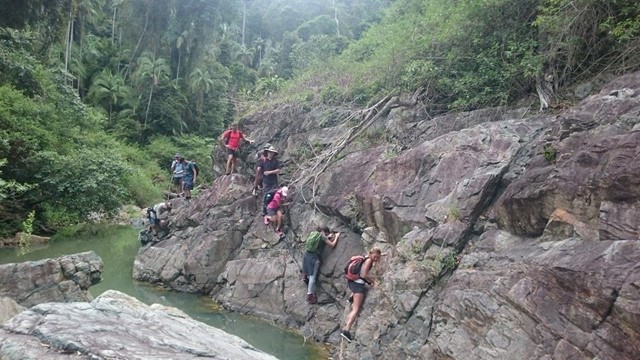
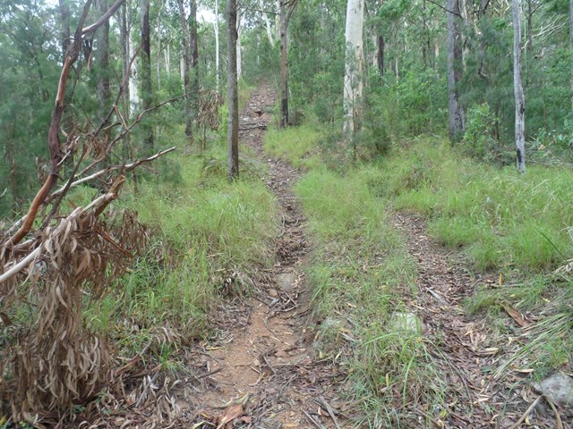
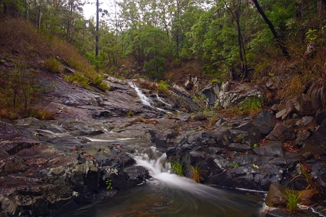
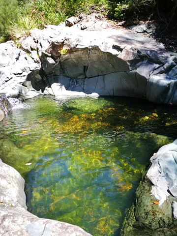
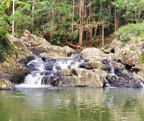
Branch Creek
Bellthorpe National Park
From the Stony Creek day use area, the junction of Branch Creek with Stony Creek is at the main swimming hole. Branch Creek goes west from here. Can be very slippery after wet weather. Lots of rock hopping, and a few places to climb waterfalls.
 5.34
km
return
110
mins
5.34
km
return
110
mins
Panorama Multi Use Trail
South East Queensland
A walk along the Tallai Range / The Panorama that offers a wide range of views between the trees.
It is very steep in sections and would advise to tackle only if relatively fit. Can be a difficult scramble down on loose rocks, don’t attempt on a hot day.
 4
km
return
78
mins
4
km
return
78
mins
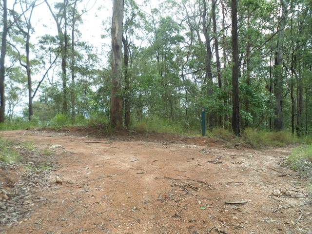
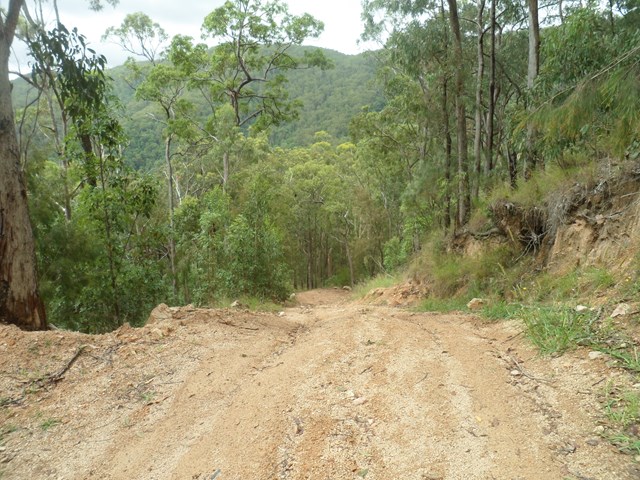
Beacon View Walk
Bellthorpe National Park
This rugged national park features open eucalypt forest, rainforest and cascades along picturesque Stony Creek. Remnants of Brandon’s Timber Sawmill can still be seen on West Bellthorpe Road. Branch Creek Road offers a moderately challenging and picturesque 4WD opportunity as it winds up through the middle of the park.
Although this is predominantly a 4wd and horse riding park , there’s nothing stopping you parking your car at a gate or side of road and walk to the destinations.
 4.5
km
return
2
hrs
4.5
km
return
2
hrs
Bimboolba Lookout via Illinbah Track
Binna Burra
A side track from the Illinbah track up to where a lookout on the old graded walk system used to be
5
km
return
90
mins
Hinterland Regional Park
Gold Coast
A series of several short tracks which can make up a decent distance. A beautiful regional park situated in Mudgeeraba. The parklands cover 62 hectares and are a great location to undertake a range of recreational activities, or to just sit back and enjoy nature.
This parkland was the first Mudgeeraba land to be settled by Europeans in 1869. The original vegetation has been highly modified in the past 140 years as a result of: clearing timber cutting for sawmills and fence posts and rails, grazing by beef and dairy cattle, construction of water pipelines and power lines, invasion by introduced pasture legumes and escapees from gardens, and dam construction.
 6
km
return
3
hrs
6
km
return
3
hrs
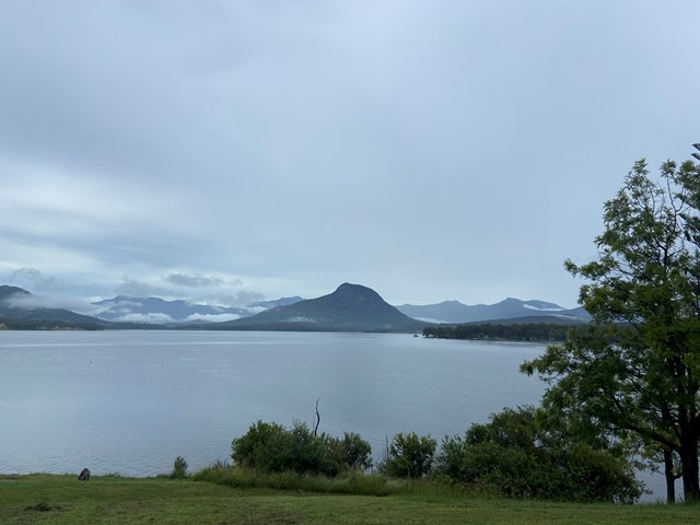
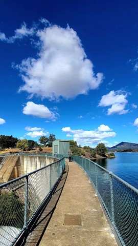
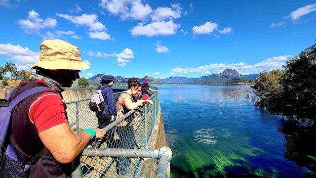
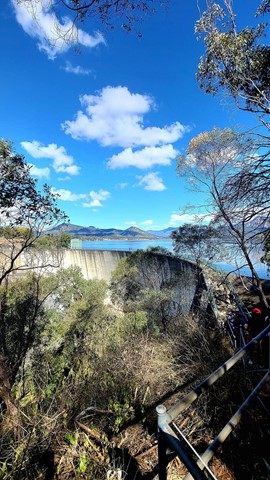
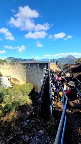
Mount Edwards
Moogerah Peaks National Park
This hiking track takes you to the summit of Mt Edwards, the taller, conical-shaped peak beside Moogerah Dam. This trail crosses the dam wall then leads to the top the mountain with an elevation gain of almost 500m to really get your heart pumping. There is a lookout part-way up the track with views of Little Mt Edwards/Reynolds Creek below the dam wall, while the lookout at the summit faces north-east towards Brisbane and the Fassifern Valley.
Officially listed as Grade 5/Very Hard difficulty (unsigned trail, loose/rocky surface, some tree falls/overgrown sections + steep incline), this trail is suitable for walkers with a moderate-high fitness level who are confident and well prepared (wear appropriate shoes, take plenty of water etc.).
 5.5
km
return
2
hrs
5.5
km
return
2
hrs
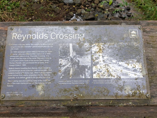
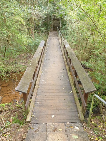
Maleny Trail (Peace in the Trees Circuit)
Sunshine Coast
A leisurely walk along Obi Obi Creek from the boardwalk in town to the Golf Club and back, that passes the sculptured 'Peace in the Trees', '5th Light Horse Regiment Beersheba Museum', 'Platypus Viewing Area', 'Southern Wetlands' and historical buildings of the once 'Fairview Dairy Farm'.
 4.8
km
return
2.5
hrs
4.8
km
return
2.5
hrs
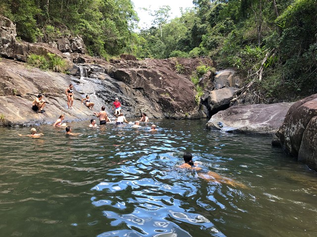
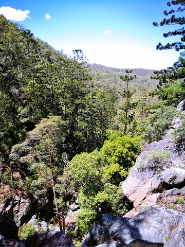
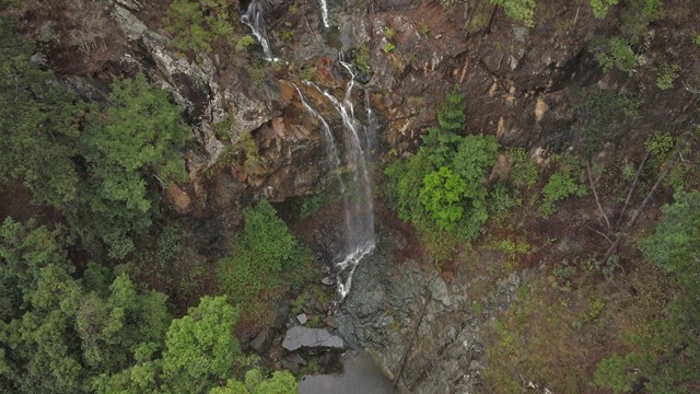
Buaraba Falls/Ravensbourne Falls
Ravensbourne National Park
There are two decent sized waterfalls along Buaraba creek plus a pretty cascade.
 6
km
return
3
hrs
6
km
return
3
hrs
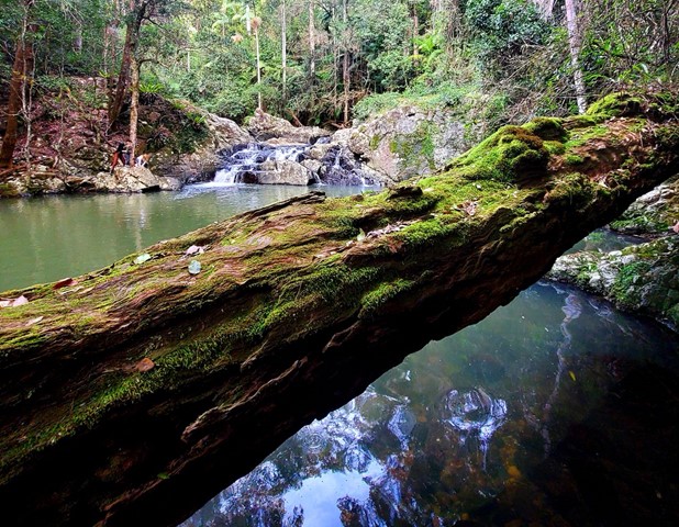
Apple Tree Park to Little Nerang Creek Falls
Springbrook National Park
Start from the car park at Apple Tree Park. Cross the road and decend down the fire trail until you find the NP TRAIL entrance on your left. Decend down to Creek crossing, waterfall and swimming holes. Climb back up the way you came, climbing the equivalent of a 61 story building.
This walk eventually links to the Warringa Pool Track which leads onto the Purling Brook Falls Circuit and is the route taken by the Gold Coast Hinterland Great Walk.