
Mt Walsh
Mount Walsh National Park


Menu
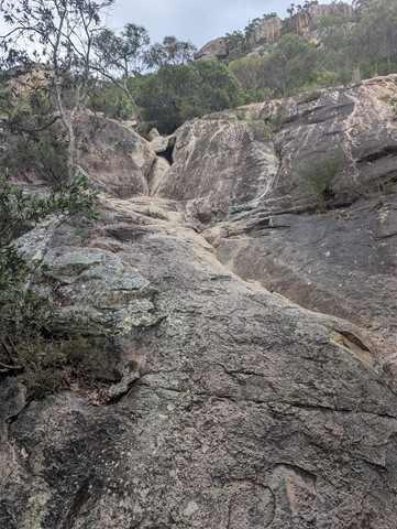
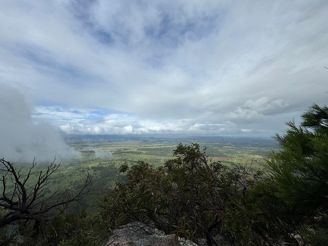
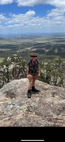
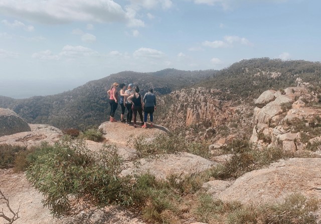
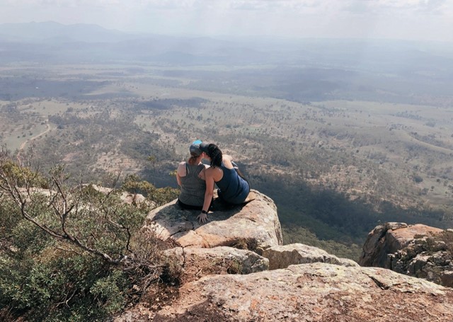

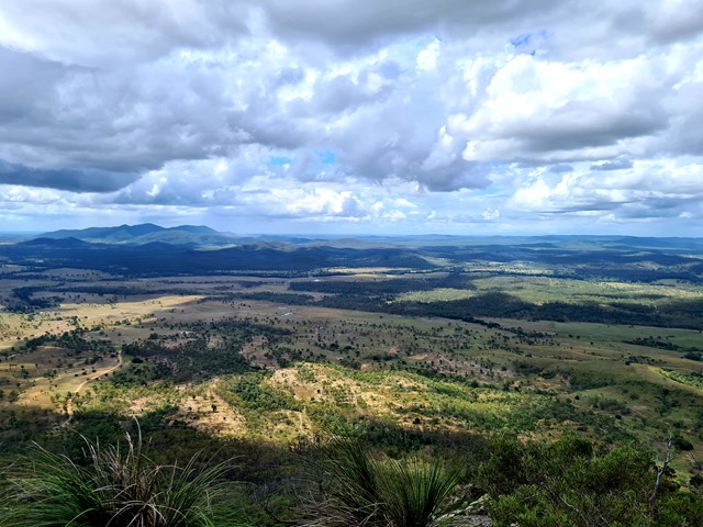
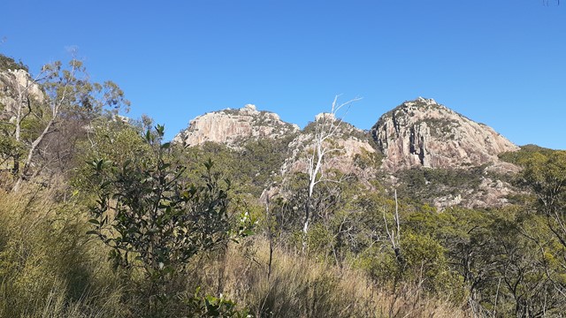
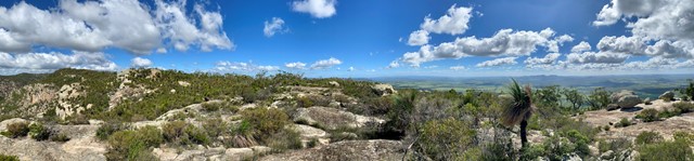


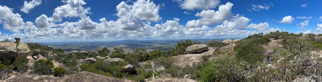

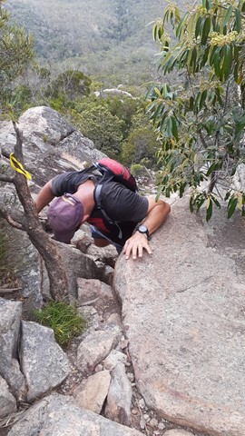
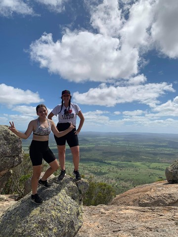

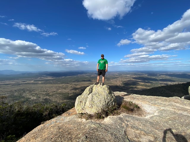
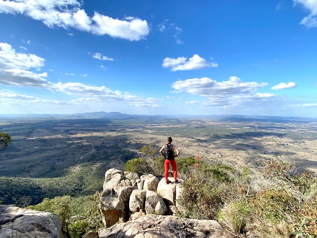
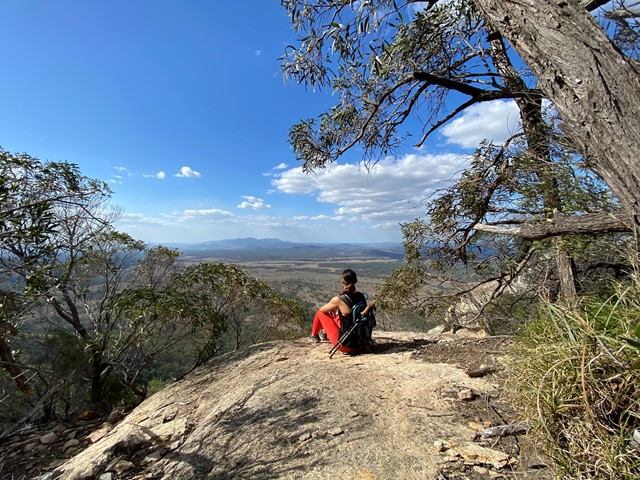
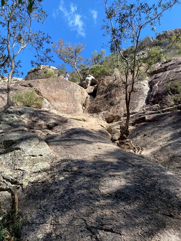

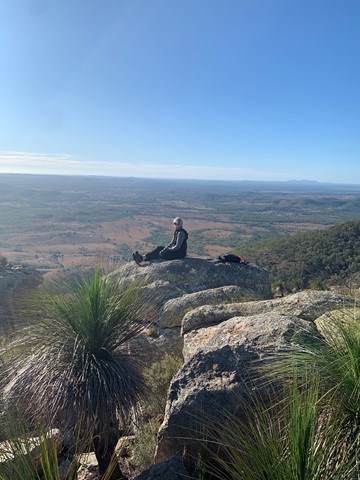
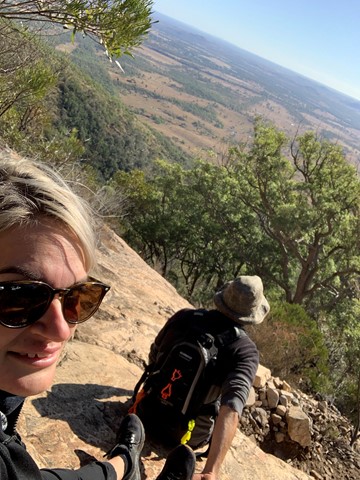
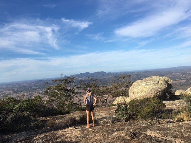
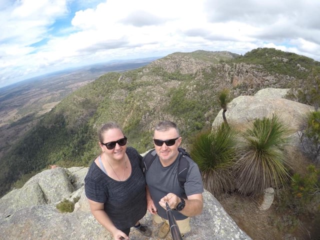
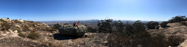
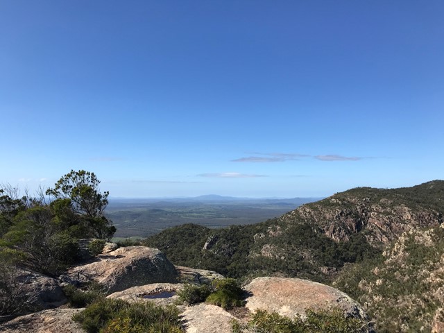
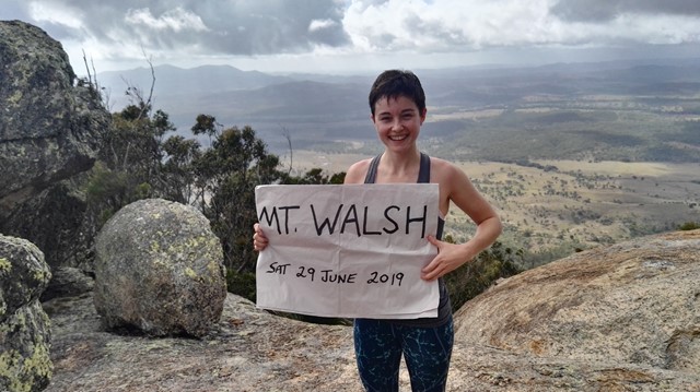


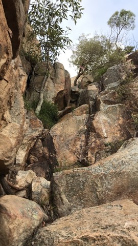


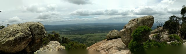
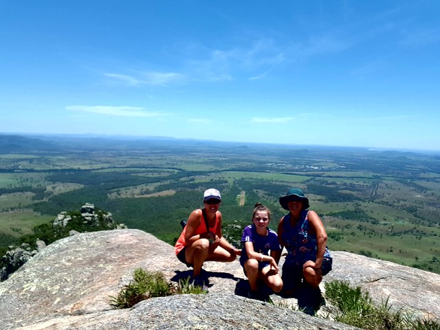


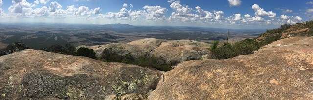
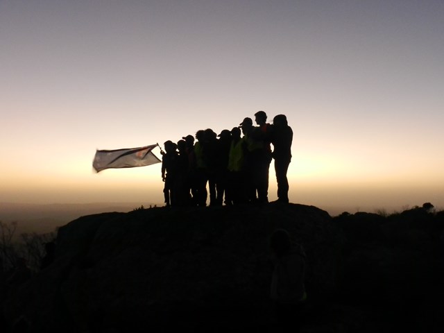
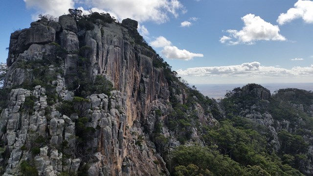


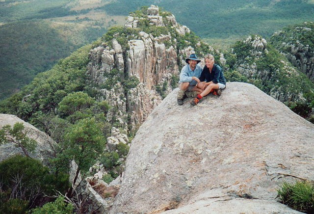


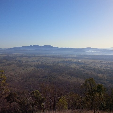
Fantastic views from the top of Mt Walsh. The climb can be difficult up at the last part. The trail is easy to follow if you have basic trail sense and is marked with flag tape and arrows painted onto rocks. No ropes are need but hand over hand climbing is required for the last part.

Getting there:
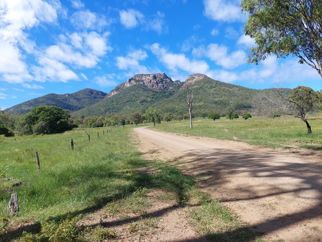
Drive from Biggenden towards Maryborough along Maryborough-Biggenden Road and approx 2.6km out of Biggenden you turn right into National Park Road (this is well signed), then follow National Park Roadd to the end where you will reach Mt Walsh Natiional Park (Mt Walsh Section) picnic area car park. Summit track starts from there.
Maps:
Route/Trail notes:
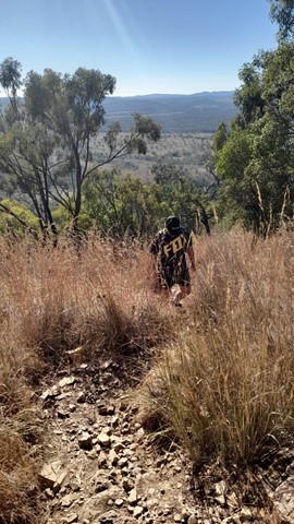
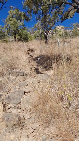
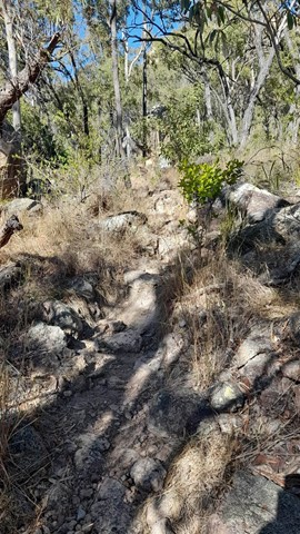
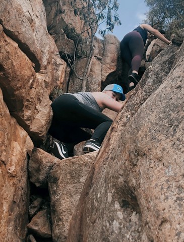
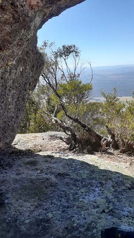
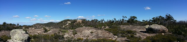
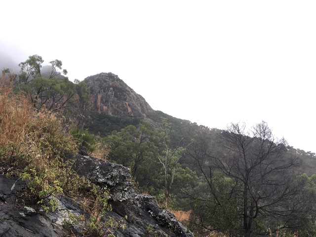
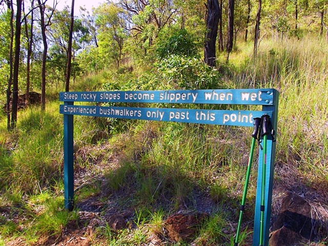
The first part of the walk is quite easy through bush with a well defined trail but as the walk ascends you need to climb over rocks and through tight crevasses. The top of the mountain is quite flat and can be explored easily, upon your return some sliding is required during the descent. Allow a good half day or full day if intending to hike in surrounding bushland.
Permits/Costs:
None. There is a bush camp towards the Pinacles.
Other References/Comments:
None made.
GPS Tracks
- No GPS available for this walk yet.
 4
4 3
3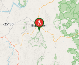
Comments