
Menu
Popular Walks
-
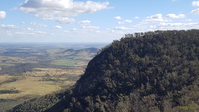
Mt Walsh
(108 ticks) -
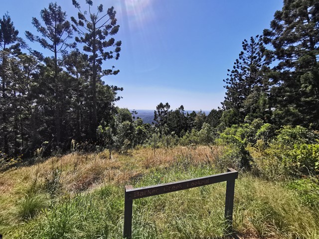
Barker Creek Circuit
(77 ticks) -
Carlo Sandblow
(68 ticks) -
Scenic Circuit
(64 ticks) -
Mount Kiangarow
(59 ticks)
Summary
From Gympie to Bundaberg. This region is known for...
Popular Walks
-
Mt Walsh
(108 ticks) -
Barker Creek Circuit
(77 ticks) -
Carlo Sandblow
(68 ticks) -
Scenic Circuit
(64 ticks) -
Mount Kiangarow
(59 ticks)
Parent Regions
Sub-Regions
History
Any interesting history for the region?
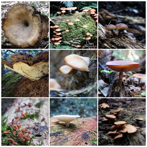
Features
What are the standout bushwalking features?
Access
How do you get there? Include all access points if there are many?
Maps
Which maps cover the region?
Accommodation
Where can I stay there? or near there?
Camping
Council Areas
- Gympie Regional
- South Burnett Regional
- North Burnett Regional
- Fraser Coast Regional
- Bundaberg Regional
Contact details
See QLD National Parks Website: ..
Walks in Bunya Mountains

 6
km
return
6
km
return
 90
mins
90
mins
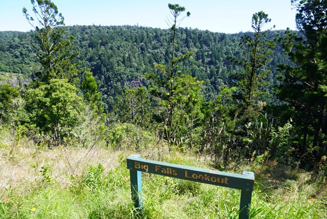
Big Falls & Barker Creek Lookout
6.09km Return from the Paradise Carpark (Along the Barker Creek Circuit track)
 6
km
one-way
2
hrs
6
km
one-way
2
hrs
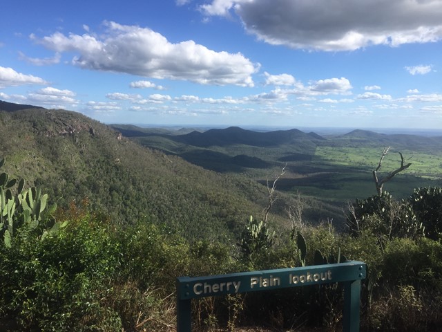
Cherry Plain to Burtons Well
This walk takes you along the Western Side of Bunya Mountains, passing three lookouts with views over the plains. Vegetation is dryer towards the the cliffs, with vine forests closer to the road. The path gradually ascends as you follow it in this direction. An easier walk may be to start sat Burtons Well.
 1.6
km
return
30
mins
1.6
km
return
30
mins
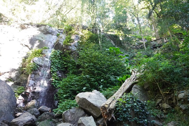
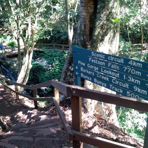
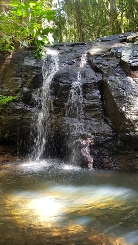
Festoon Falls and Mcgrory Lookout
A nice easy stroll to Festoon Falls a well known waterfall and to the top of Mcgrory Falls, a hidden gem just 50 metres downstream of Festoon Falls.
 4
km
return
90
mins
4
km
return
90
mins
Ghinghion Lookout
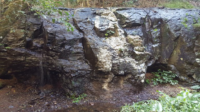
From Burtons Well track heads down to the cliff side where there is a lookout above a non-perennial waterfall.
 2.5
km
return
1
hr
2.5
km
return
1
hr
Koondaii Circuit
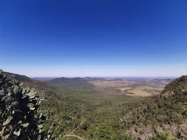
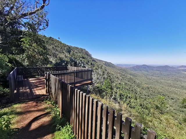
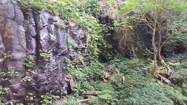
A short circuit which takes you through shady dry rainforest then out to Koondaii Lookout with views of the western side of the Bunya Mountains over the Darling Downs. The cliff face falls away sharply providing you with a treetop canopy view into the valley below.
Officially a Grade 4/Hard track (some steep sections, stairs, and cliff-edges to be aware of), this walk would be manageable for most people with a moderate level of fitness.
 4.5
km
return
2.5
hrs
4.5
km
return
2.5
hrs
Mcgrory Falls via Pine Gorge
This is a relatively tough but short hike, leading to one of the biggest yet lesser known waterfalls. The first 3/5ths of the track is well maintained though from Pine Gorge Lookout there is a steep descent into Pine Gorge. It would be a good idea to bring some flagging tape to mark the exit point in the gorge.
 2.3
km
return
1
hr
2.3
km
return
1
hr
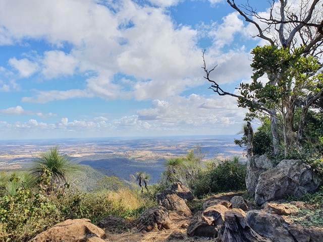
Mount Kiangarow
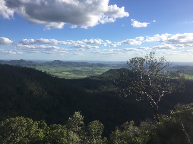
This track leads to the highest point of the Bunya Mountains: Mt Kiangarow (1,135m). The track climbs 132m over 1.4km, gradually winding around the mountain and leading through an avenue of grasstrees at the crest lookout. An excellent spot to view the sunset.
Officially rated Grade 3/Medium (uneven track surface + steady, gentle incline), this is relatively gentle walk that would be suitable for most ages/fitness levels.
 2
km
return
40
mins
2
km
return
40
mins
Munros Camp Walk
The track takes you from Munro's Camp down to the top of a previous logging chute (clearing in the forest to lower logs down to the valley for milling). Many benches to pause, watch and listen along the trail. Prolific bird life.
2.5
km
return
45
mins
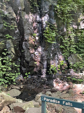
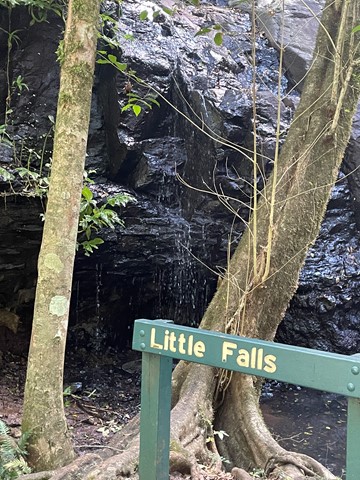
Paradise and Little Falls
A chance to get a feel for the eastern side of Bunya Mountains with a short walk down to the two falls of Paradise and Little Falls.
Pine Gorge and the ‘Shower Room’ (Lower Mcgrory Falls)
Please note that this is not a formed walking trail, is located in a reasonably remote location and that a degree of navigation skills are advised. The walk is best started from the end of the old log haulage road off of Saddle Tree Creek Road (-26.8636213, 151.6332056). From the small dirt patch at the end of the log road near Saddle Tree Creek (enough for a couple of cars to park), follow the main eroded creek bed. There is lantana and fallen trees in this lower section of creek, so a good degree of care should be taken. Using the usually dry creek bed to navigate, you will come to a fork at approximately -26.8663406, 151.6258194. Take the branch to the right, following the creek bed. The vegetation will gradually change from dry eucalyptus scrub and ‘balds’ to wet scrub as you ascend along the creek. If correctly followed, the Saddle Tree Creek bed should gradually begin to contain small permanent pools (even in drier weather). In normal conditions, at this stage the creek will begin to contain running surface water. Bunya Pines with the centuries old characteristic cut out ‘foot holds’ from Aboriginal visitors can be spotted as the only sign of human disturbance. Towards the end there are some small waterfalls that will need to be carefully scaled. The walk will end in a narrow gorge at approximately -26.8752181, 151.6039648, with a fairly impressive waterfall (except during very dry times) giving the illusion of a shower cubicle.