


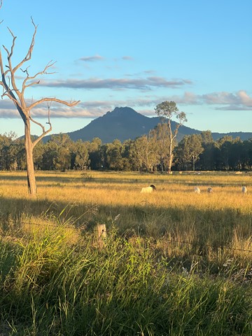
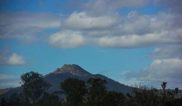
 Flinders Peak (GPX)
 6.5
6.5 3.5
3.5- Flinders Peak - approach from South (Ipswich - Flinders Goolman Conservation Estate)
- Sandy Creek Central Ridge Track (Ipswich - Flinders Goolman Conservation Estate)
- Sandy Creek Track (Ipswich - Flinders Goolman Conservation Estate)
- Mt Blaine Summit Trail (Ipswich - Flinders Goolman Conservation Estate)
- Mt Blaine Base Trail (Ipswich - Flinders Goolman Conservation Estate)
Flinders Peak & Caves
Ipswich - Flinders Goolman Conservation Estate
Menu
GPS Tracks
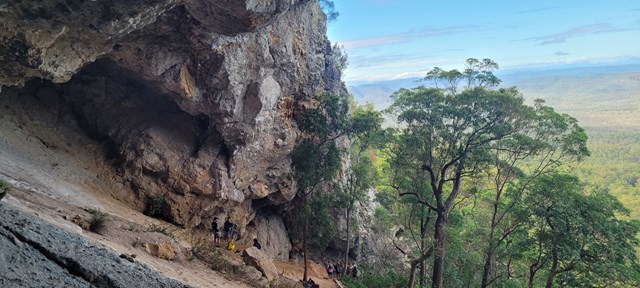
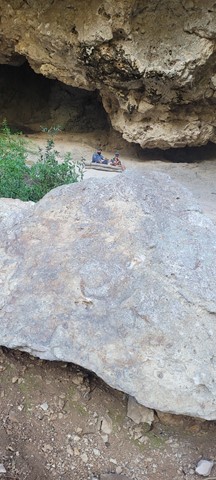

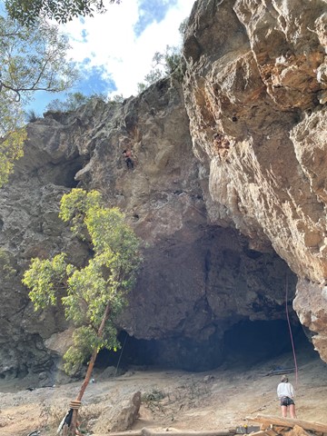


Short but steep hike to summit and side trip to caves. Approximately 5.5 klms.
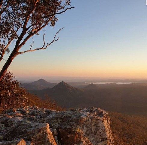
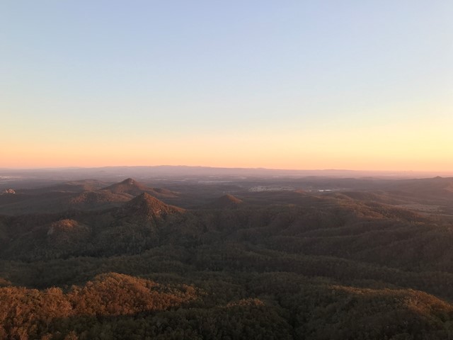
Lookouts
Picnic Facilities
Toilets
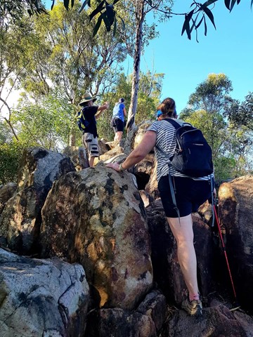
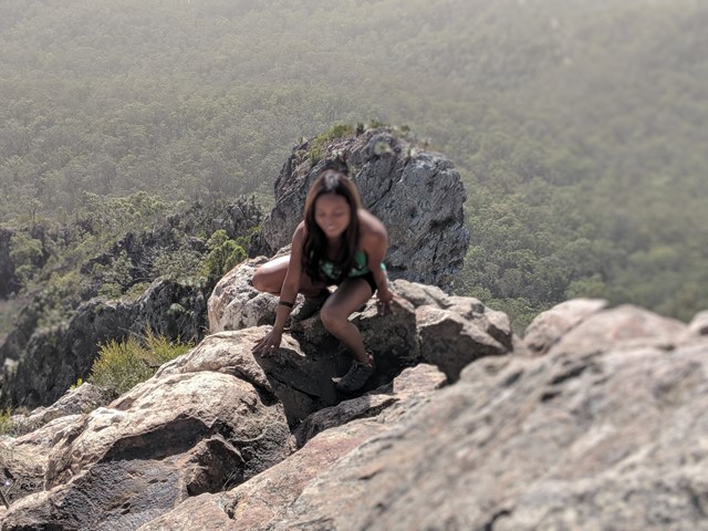
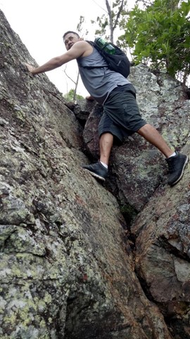
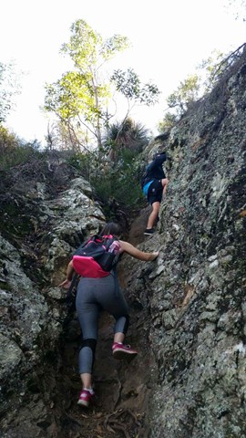
Scrambling or Climbing
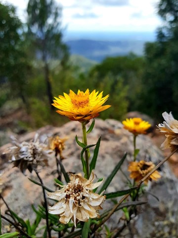
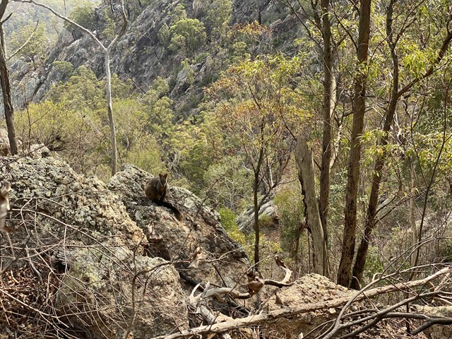
Rainforest
Eucalypt Forest
678m
Maximum Elevation
600m
Total Climb
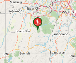
Getting there
Commences at Flinders Plum Picnic area. Take Mount Flinders Road off the Ipswich-Boonah Road near Peak Crossing.
Maps
QTopo: FLINDERS PEAK 9442-24 (1:25,000)
Route/Trail notes
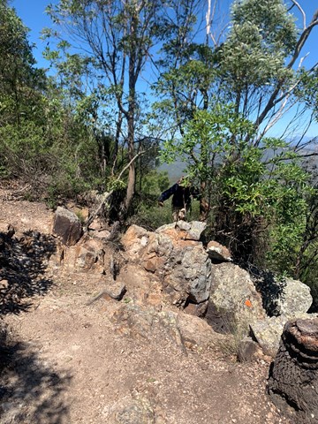
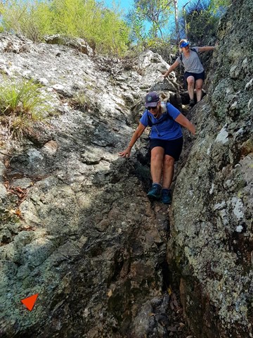
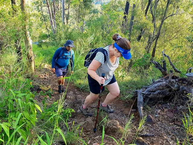
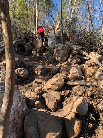
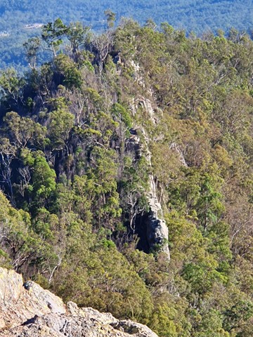
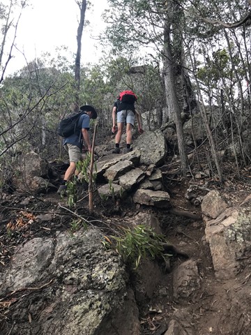
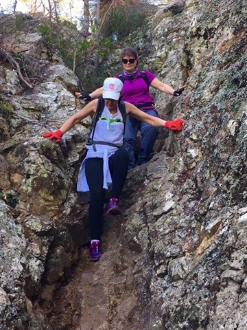
This is a challenging track with rough surfaces, steep inclines, cliff edges, limited signage and no water sources.
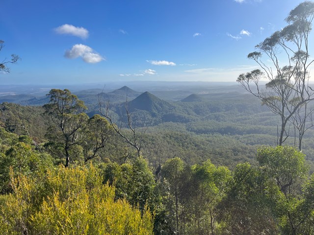
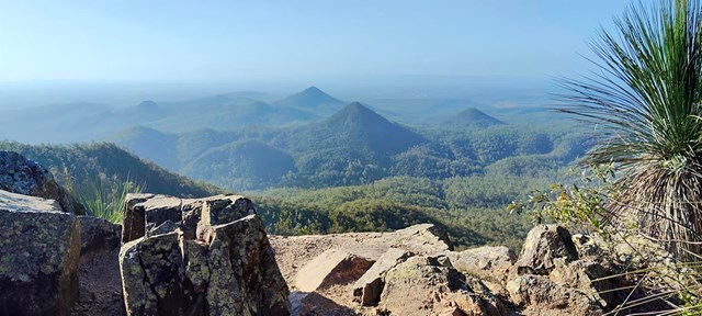
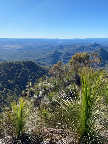
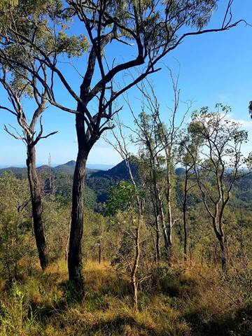
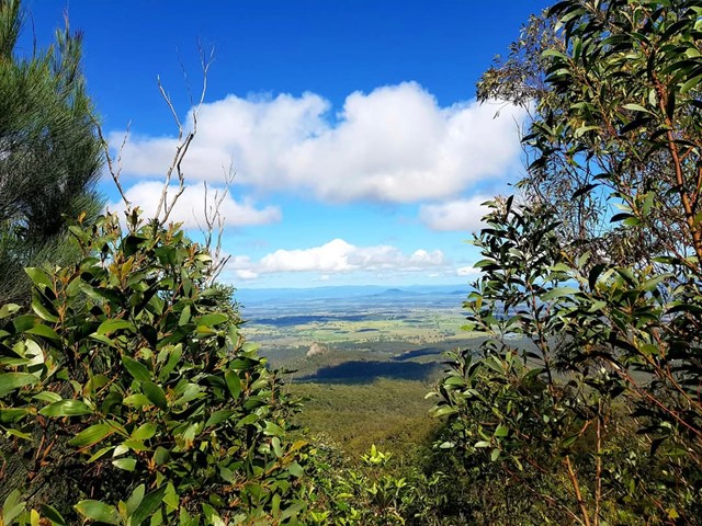
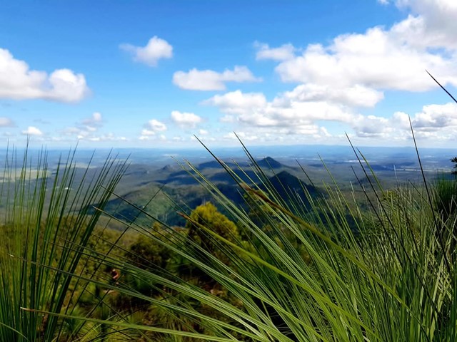
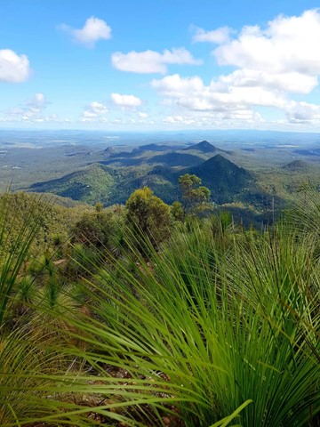
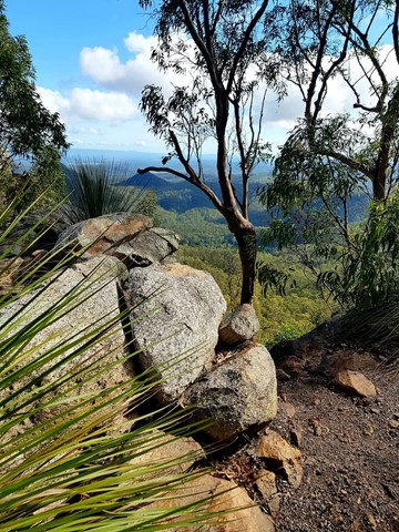
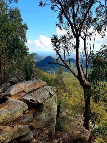
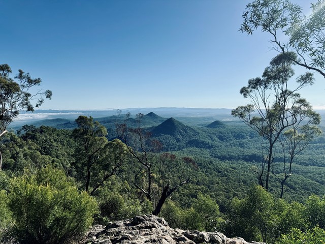
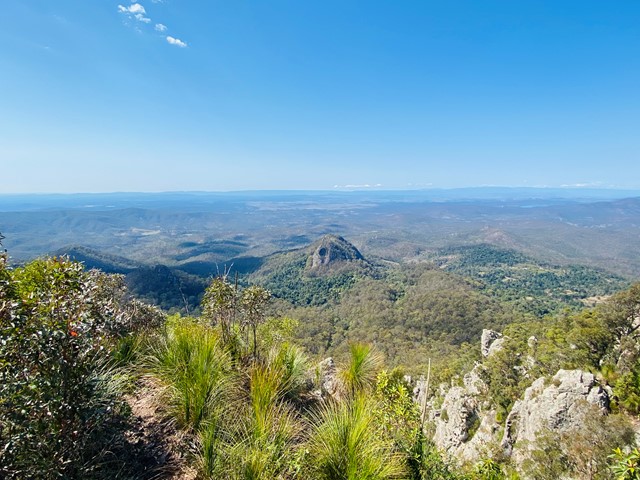
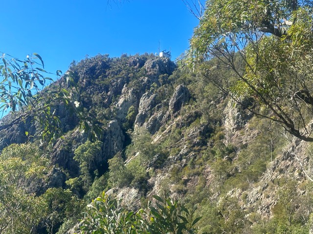
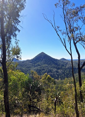
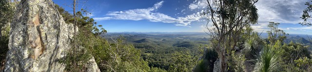
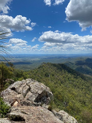
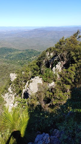
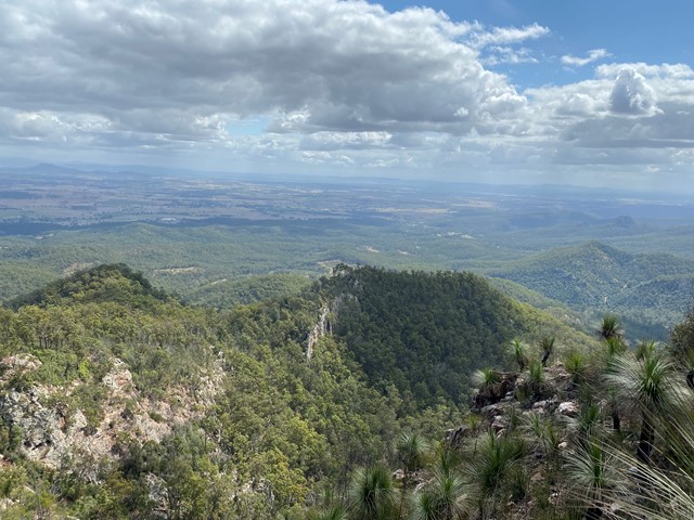
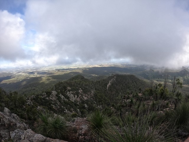
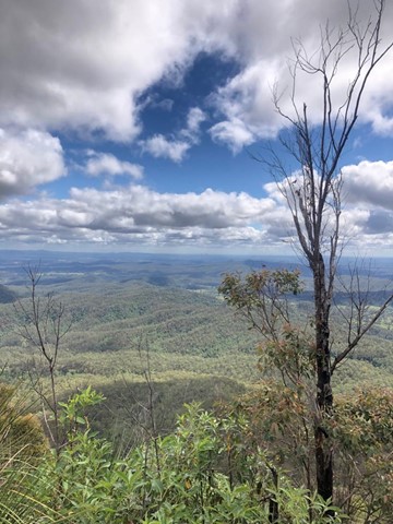
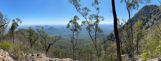
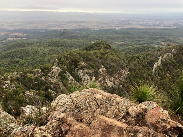
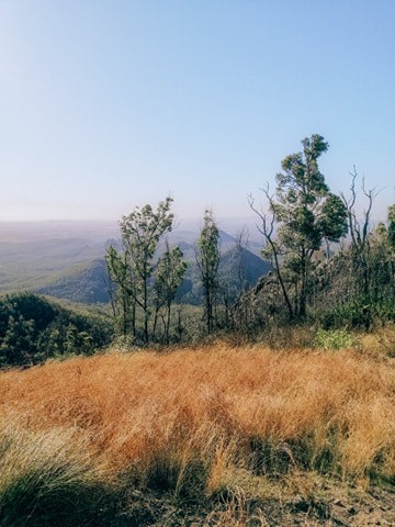
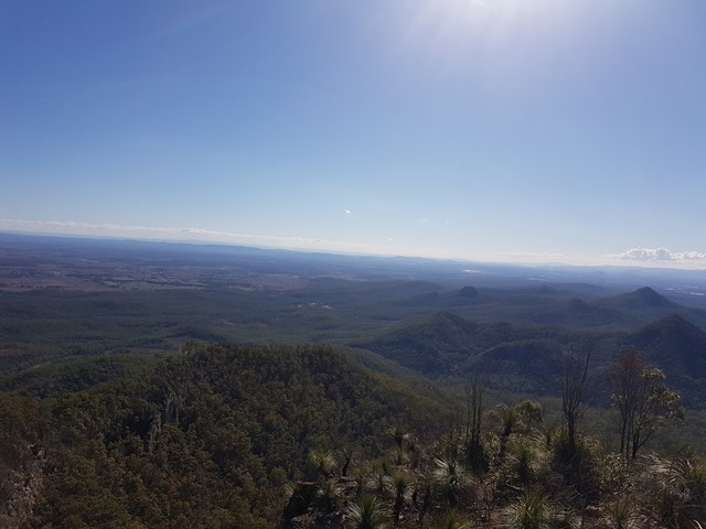
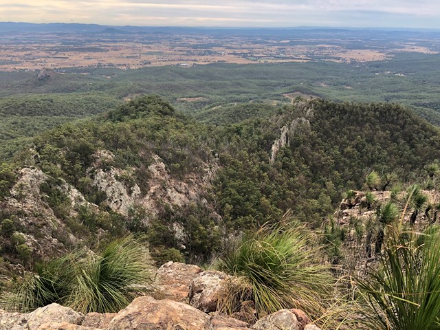
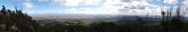
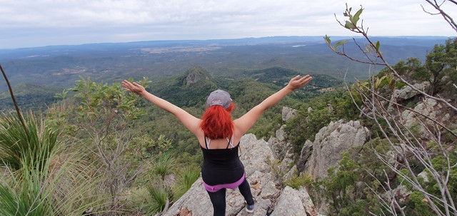
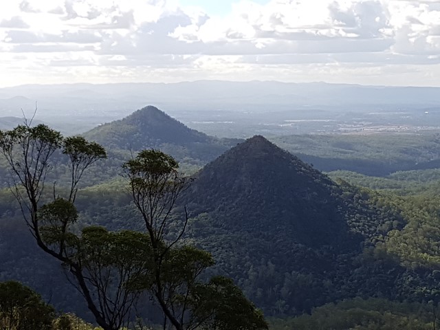
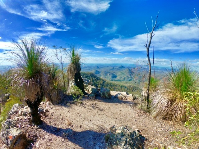
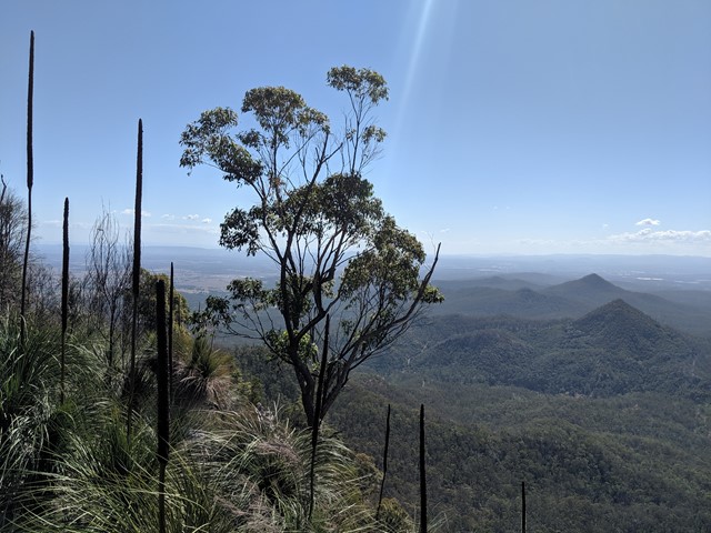
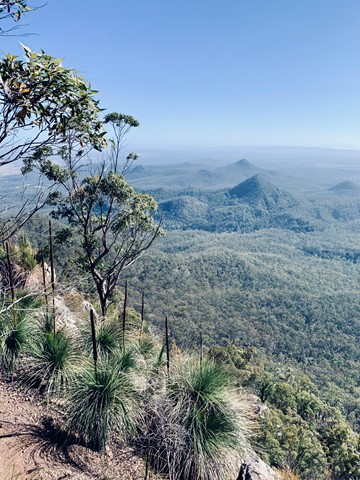
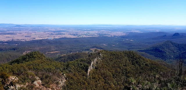
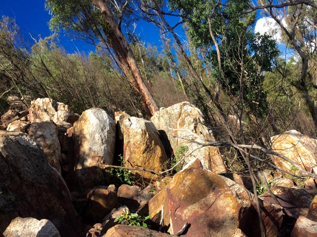
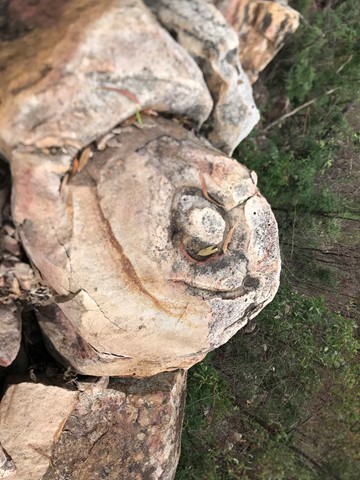
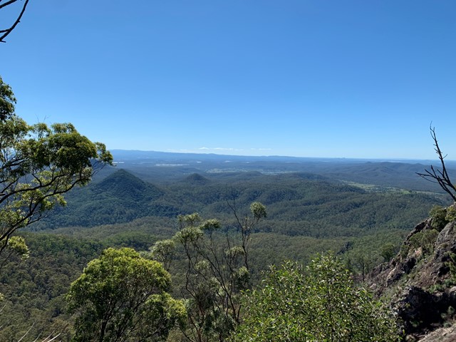
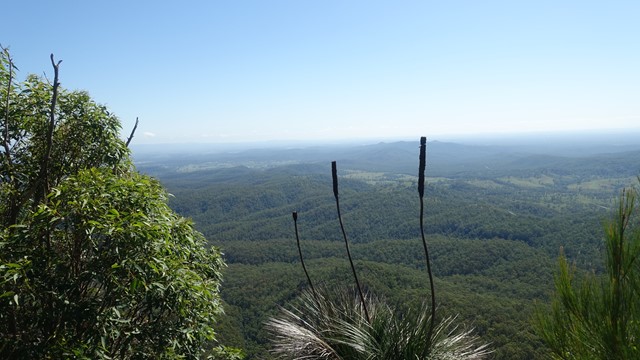
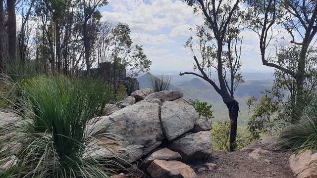
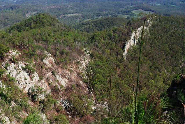
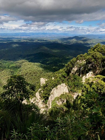
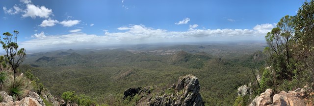
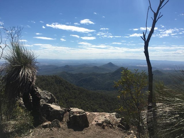
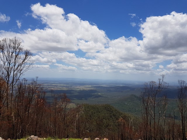
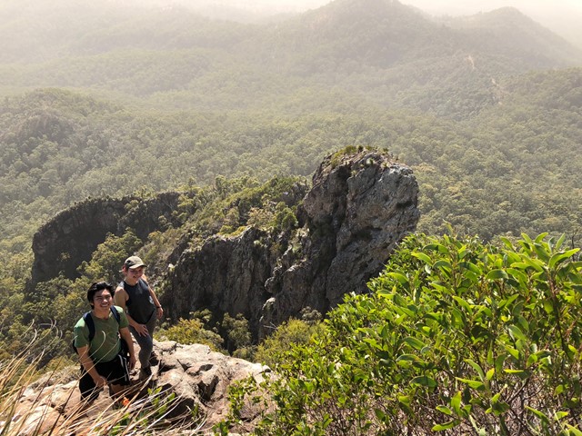
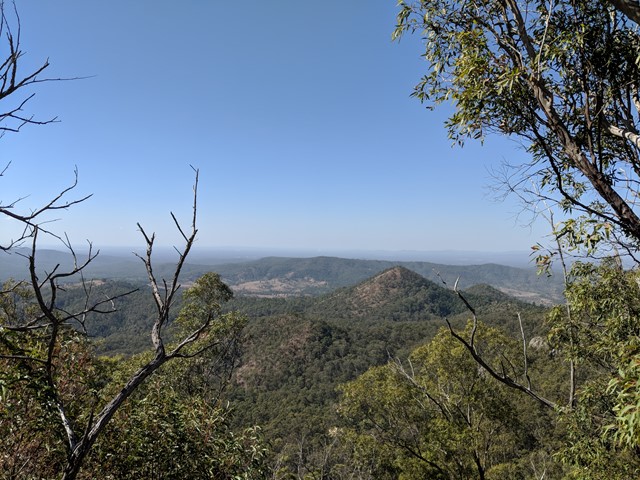
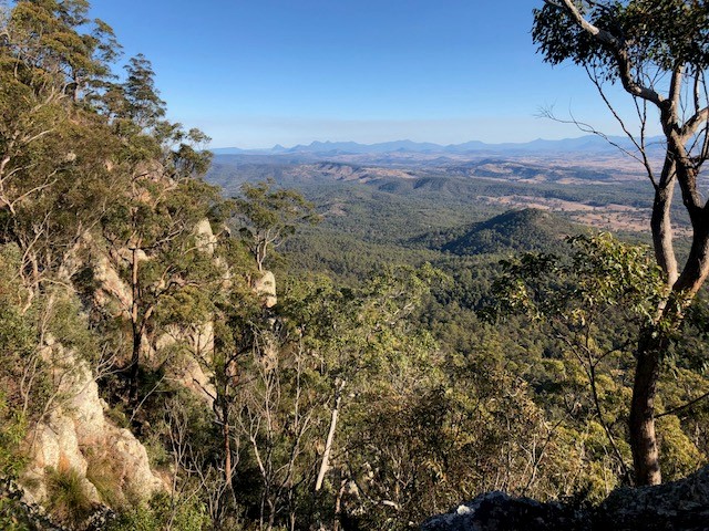
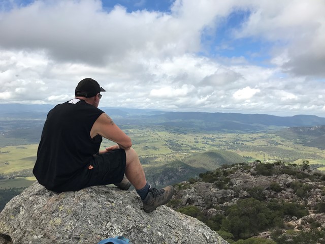
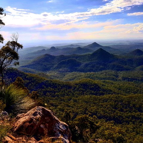
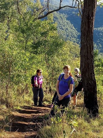
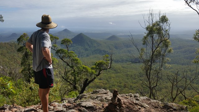
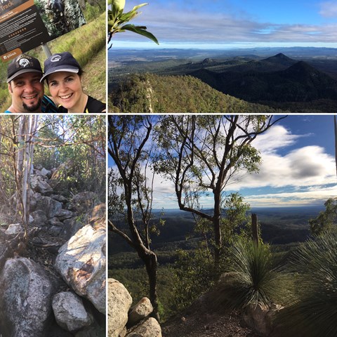
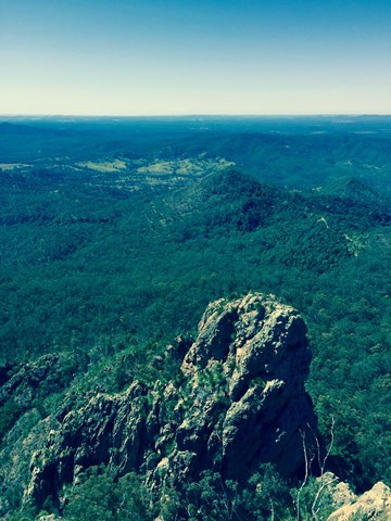
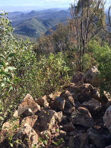
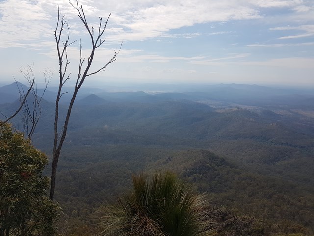
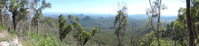
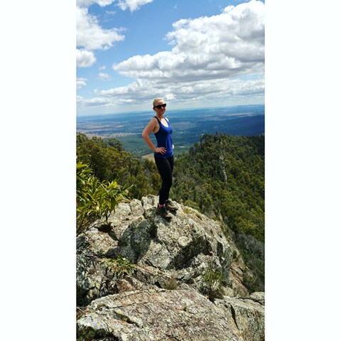
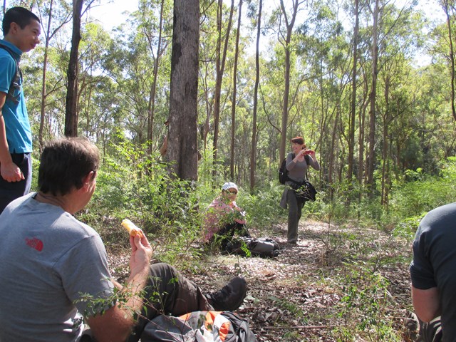
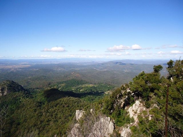
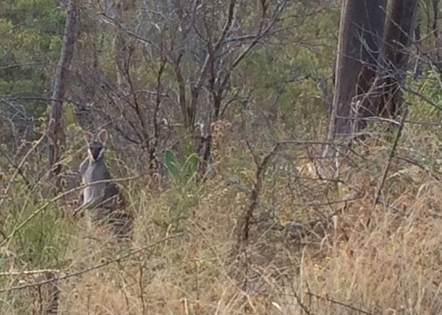
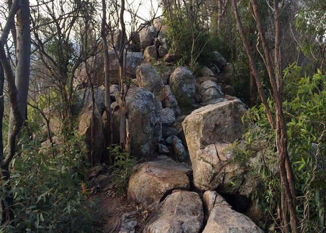
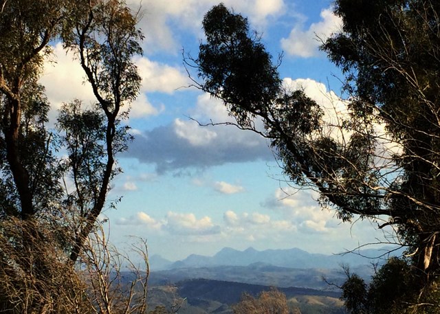
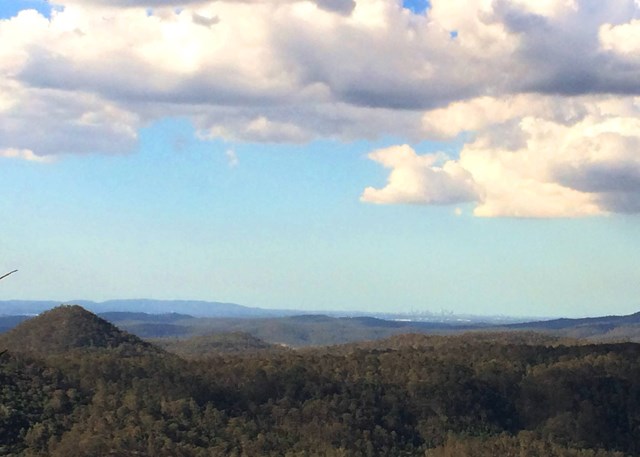
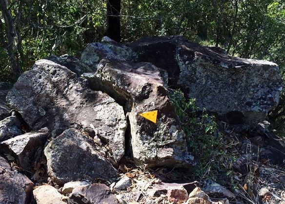
Starting from the picnic ground, a wide clear track leads south up the ridge line. After a few hundred metres, the track narrows to an obvious footpad and begins to climb steeply. The track is unformed and the ground is loose in places. After a climb of 10 minutes or so, a group of rocks on the east provide the first good views north and a chance to catch breath. After another short climb, an open wooded grassy ridge affords good views through the trees to Brisbane to the north. Another ascent, with views over the Fassifern, leads to a steep climb up Little Flinders which is progressively more boulder strewn. The track disappears as the ridge flattens out, but there are occasional triangular trail markers leading through the rocks to the peak and views along the Main Range down to Lamington Plateau. Flinders Peak proper can be seen from here, with a descent to a col between the peaks and a steep ascent on the far side (approximately 130 metres elevation gain). Picking your way through the rocks takes care and effort, but although the climb is difficult in parts, there is little exposure.
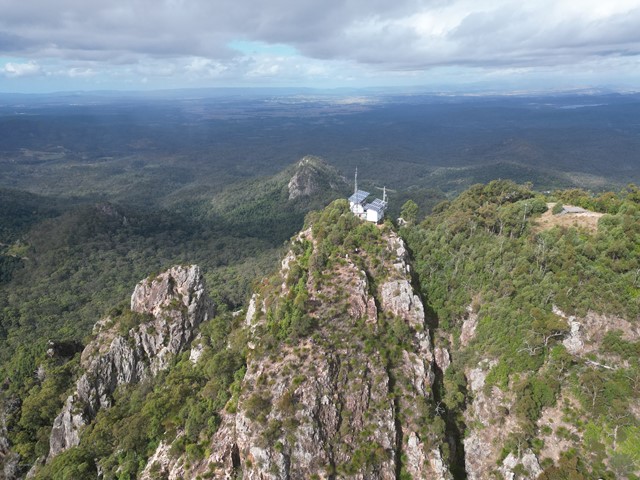
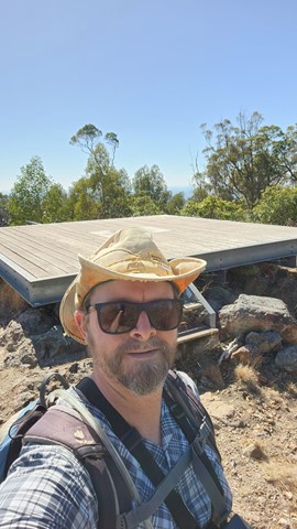
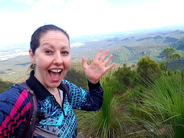
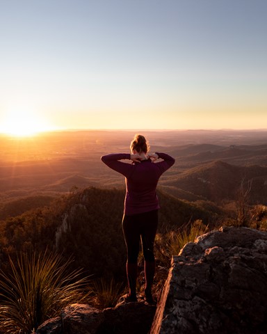
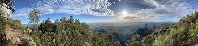
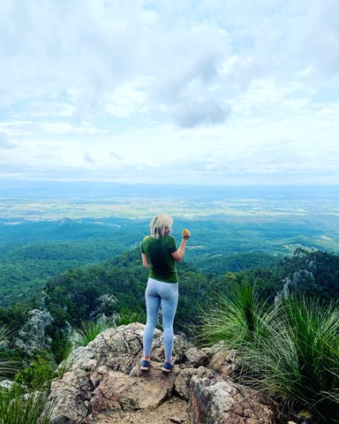
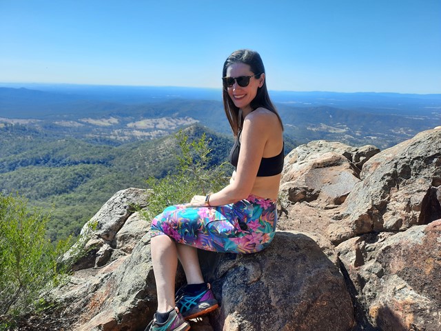
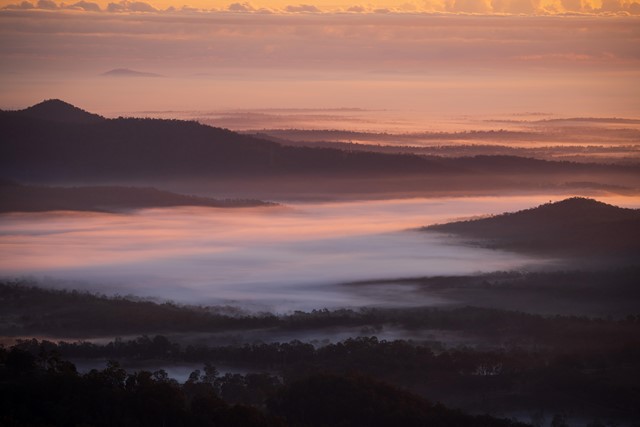
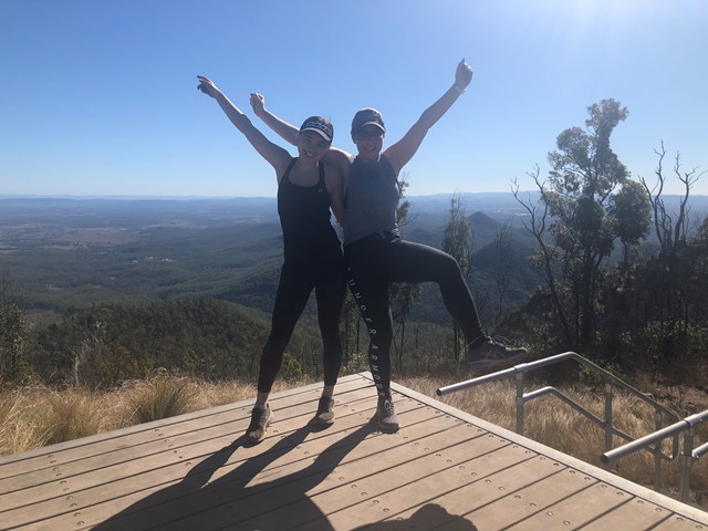
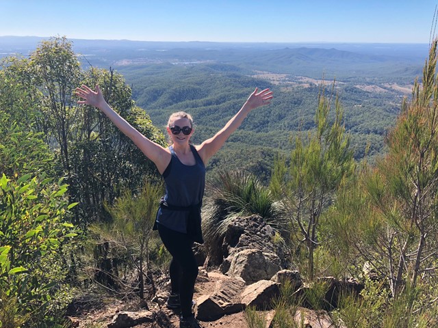
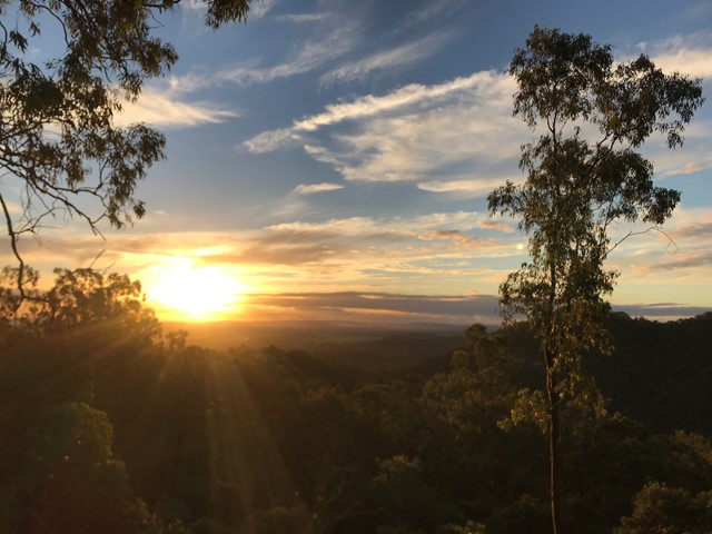
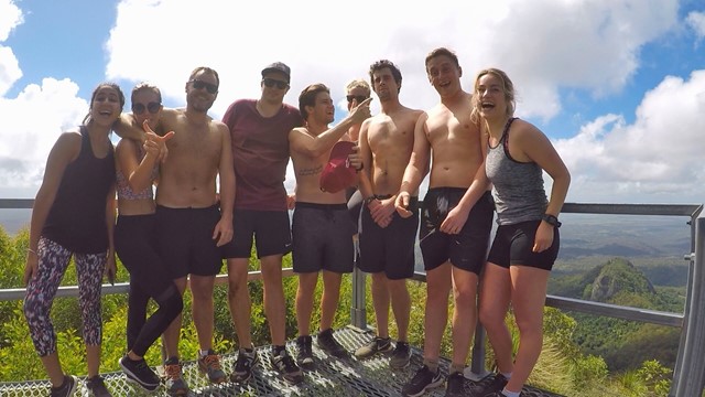
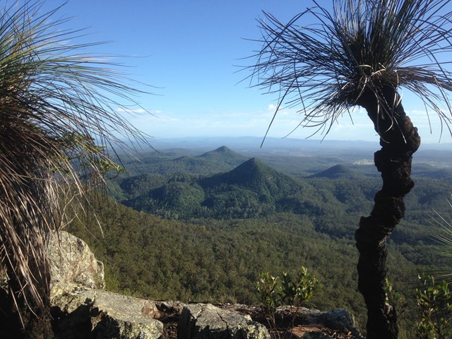
Views from the Peak can be had in any direction - take the time up here as that's what you came for! You share the summit with a helipad and a UHF transmitter.
Permits/Costs
Free
Other References
http://www.ipswich.qld.gov.au/__data/assets/pdf_file/0007/23776/Flinders-Goolman_Trails_Guide.pdf
GPS Tracks
Where
Click here to load this map.
Comments