
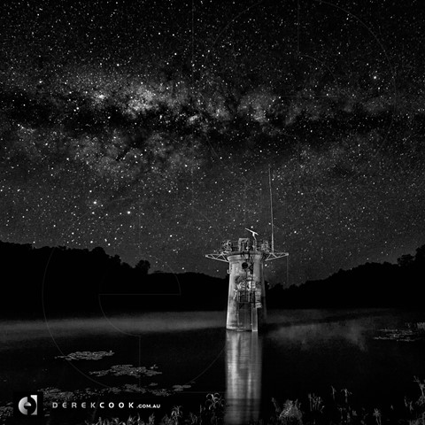
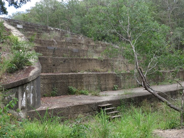
Gold Creek Reservoir
South East Queensland


Menu
GPS Tracks

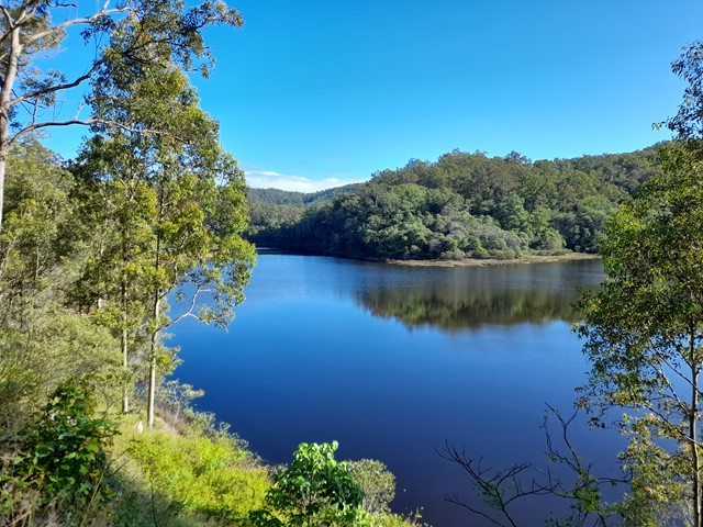
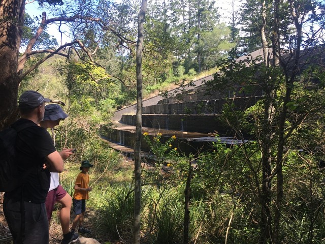


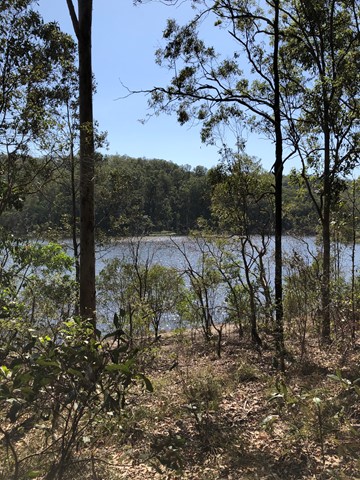
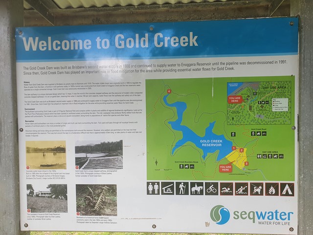
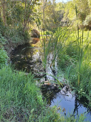
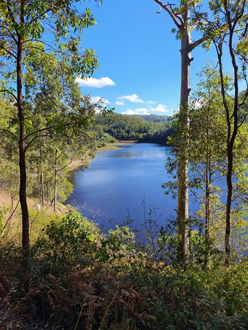
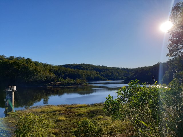

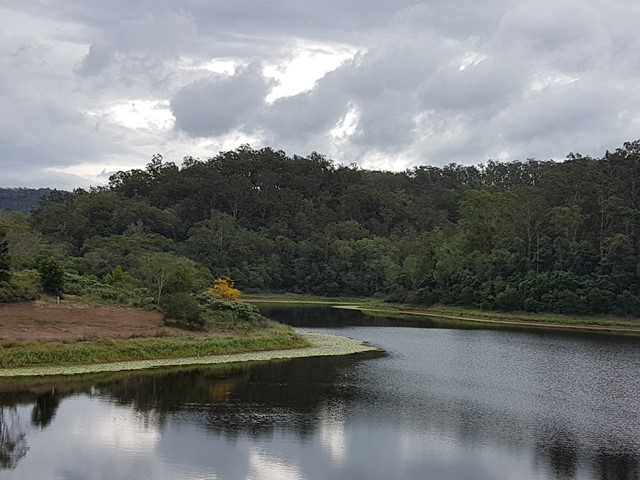
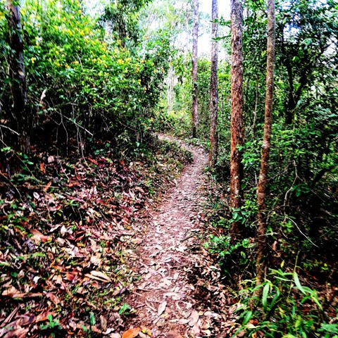

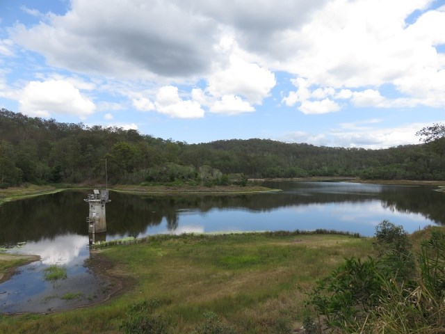

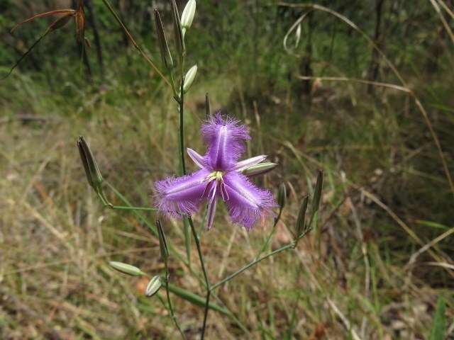
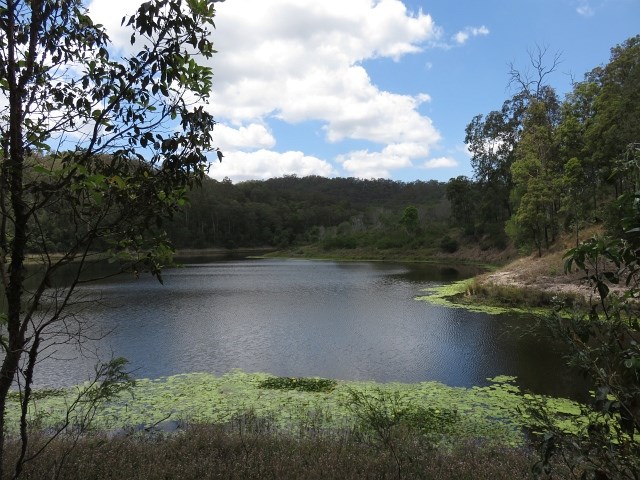
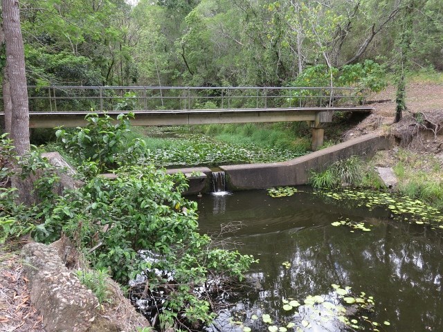

Within the Brisbane City area there are a number of nature reserves that provide opportunities for the hiker who doesn't want to drive for hours to get out of the city. One of the most interesting is the Gold Creek Reservoir located next to the suburb of Upper Brookfield.
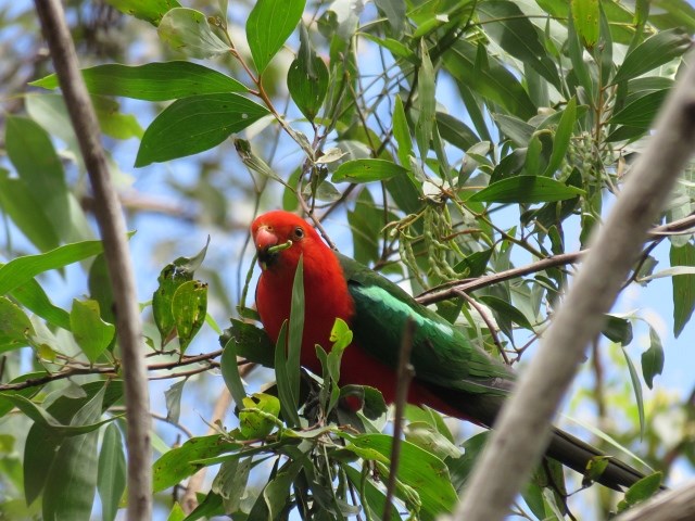
Bird Watching
Picnic Facilities
Toilets
No Dogs Permitted
No Horses Permitted
No Cycling Permitted
166m
Maximum Elevation
225m
Total Climb

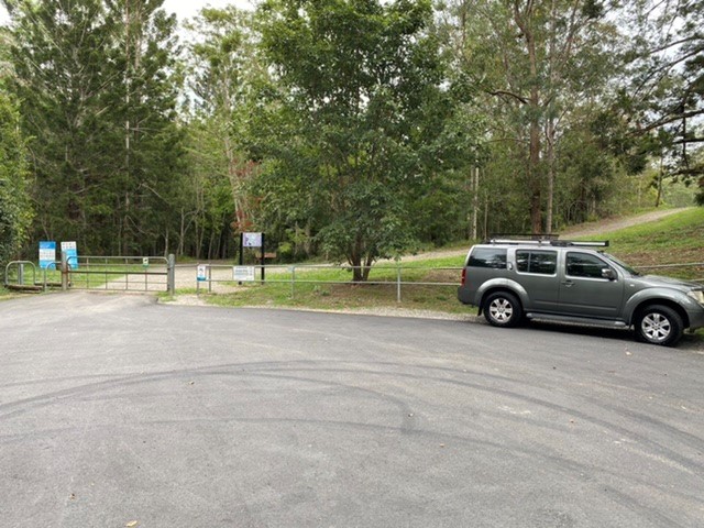
Getting there
Drive to the end of Gold Creek Rd, Brookfield QLD. 6-7 km on from the Brookfield showground. Bitumen all the way.
Maps
Which maps cover the area?
Route/Trail notes
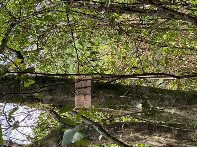
The signage along the track is not always clear. See on-site map and attached GPS file for further guidance.
Permits/Costs
Nil
Other References
http://www.weekendnotes.com/hiking-gold-creek-reservoir/
Family Bushwalks in South East Queensland (ISBN 9780646946092) p98
 Gold Creek Reservoir (GPX)
 5.5
5.5 2
2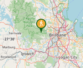
Comments