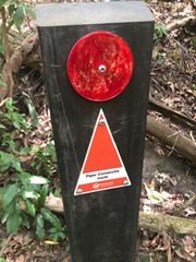
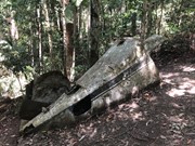
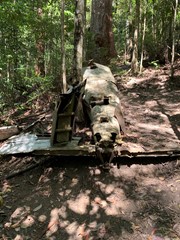
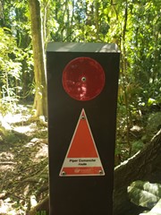
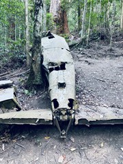
Piper Comanche Wreck

D'Aguilar National Park

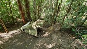
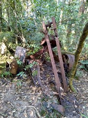
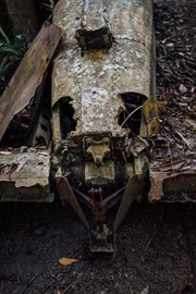
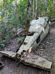
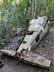
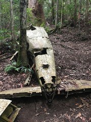
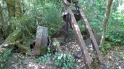
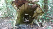
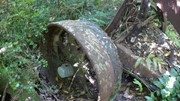
A walk to the remnants of an aeroplane wreck.

Bird Watching
Scrambling or Climbing
Navigation Required
Rainforest
746m
Maximum Elevation
258m
Total Climb

Getting there

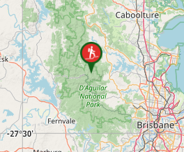
Start at the Lepidozamia Track, 5.5km north of the Maiala picnic ground. 

Maps

D'Aguilar National Park, South D'Aguilar section

Route/Trail notes

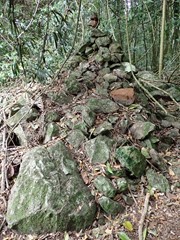
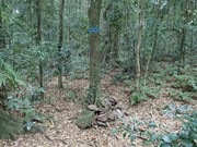
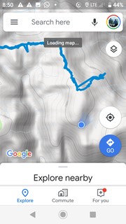
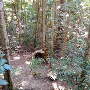
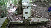
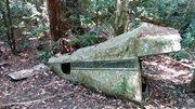
Just after the Lepidozamia track gate take the smaller trail to the east.  Follow this old logging trail for approx. 3km until you see a small cairn of stones.  Follow the faint trail northeast down a rocky and steep hillside for approx. 500 meters.  The wreck is on the northern side of a small stream.  

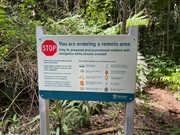
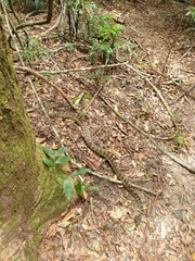
Take care when returning to the top of the ridge after visiting the plane  wreck.  Many walkers come unstuck here missing the turn right back along the main ridge route towards the carpark.  This section of the forest has lots of tree roots and rocks on the ground, so the route is not well defined in this location.  This combined with decoys of pink tape often lead walkers to the South (veering left at the ridge top) towards Love Creek.  Careful navigation is required on this section of the route to avoid becoming lost and spending the night out in the forest.  Multiple search and rescues happen in this area on a regular basis.

Permits/Costs

Nil

Other References

This walk was listed in the Bushpeople's Guide to Bushwalking in South-East Queensland.

Comments

Found this to be pretty well marked with pink tape and rock cairns. Lots of fallen trees but you can generally see the path. Last section down to the wreck gets the legs working for sure! Completed in under 3hrs with a 15min break at the wreck.

jeabou on 2 Aug, 2020

The track was dry and well marked. Didn't have any issues with leeches.

sgrun on 21 Jul, 2020

Plenty of pink tape and rock cairns to let you know if you are on the right trail. GPS navigation is useful but not essential. We did it in two hours fifteen minutes including all stops. A good challenge and interesting destination.

jgrun14 on 21 Jul, 2020

Nice walk, but it's better to have someone who knows the way :)

ovel on 4 Jul, 2020

Next time someone goes, (if you can), take a bit of extra pink ribbon to help people find the way 😊

Emily on 3 Jul, 2020

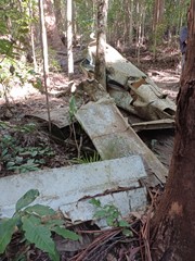
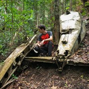
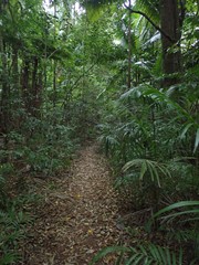
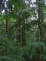
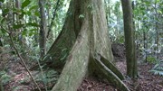
A great hike with the family. No leeches or ticks as the region is still fairly dry. The palm forested section is particularly beautiful. The wreck is still largely recognisable with a laminated accident report sheet present. A bit tricky to navigate in parts. Found the GPS useful on our return.

Monstar on 2 May, 2020

Great walk, Plenty of Leeches.

Kevin Bevan on 29 Mar, 2020

This is a great track that requires some navigational skills.
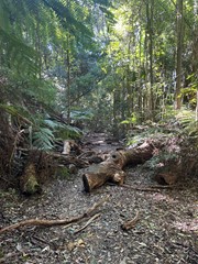
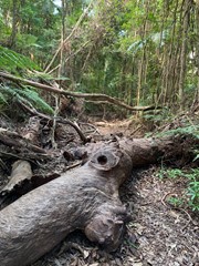
Walk the main track to the rock mound and then turn left and head down into the rainforest. There are arrows gouged into tree trunks to aid navigation. If you get to the large fallen tree that you have to walk along and clamber under, you’re going the right way!

Don’t forget to sign the book that’s safely stored in the wreckage in the old ammo box.
Take plenty of water.
If there hasn’t been any rain you shouldn’t have issues with leeches.

Remy on 21 Nov, 2019

An enjoyable walk, make sure you have navigation...lots of paths to easily have you off track.

LadySim on 22 Sep, 2019

walk is as described. Very dry today, no leeches and not slippery at all.

WanderingSteve on 18 Aug, 2019

The first time we attempted it we thought it was going to be a lot harder than it actually was and followed the wrong ribbons, thinking we were in for something difficult and ended up walking to a waterfall. The next weekend we found it with ease (not taking the turn off down the hill as we did last time) and found the walk to be quite easy in the end.
Anneke on 19 Jul, 2019

Out with daz Ben Louie and eddy. Easy walk with only one climby bit. Loads of ribbons everywhere, a wing carved on a tree, small rock Darin says where to turn left, and a hourd of retirees sat on a log

NautiWill on 23 Jun, 2019

Wow - don't do what we did!!
As EVERYONE described below, carry a compass and use it frequently.

Amateurs like us missed the left turn to NorthEast and bushwacked through "Wait-a-whiles" for 45 minutes.

Keep a compass handy and bring along some pink tape to beef up that early section. The downhill part later is well marked!

Stephen Kress on 2 Jun, 2019

Good hike. Need to know. Pink tape which mention is only towards the last 800m of the track. Easy to get lost. Definitely need to navigate. We didn't get the compass out till half way. Should of had it out from the start. Walking the last section before the wreck very steep. With loose sand and rock. Definitely takes it out of you going back up. Also lots and lots of leeches. Gps location of the wreck S 27 17.997 E 152 46.463. Track is over grow. Lots of logs over the track.

Erin on 17 Feb, 2019

A really great walk. Super dense and overgrown path, but simple to navigate. Minimal pink tape on 2/3 of the track. Comments left here were very helpful.

Nickii & Nouri on 28 Dec, 2018

Great walk. Thanks to the people who have given such clear instruction previously on this walk. It really helped. A lot of the walk is easy to follow but some parts are trickier. Se found ourselves off the track a few times. We just backtracked and looked for pink ribbons. In e you start seeing the ribbons so long as you follow them you should be right. If you think you’re on the track but it prayers out and you can’t see any ribbons you’re probably off the track. It seemed like many had done the same thing before us. A highlight was seeing an echidna.
Ian and Sue on 18 Aug, 2018

Nice early Sat morning hike. Quite easy to locate as per descriptions left here.

J on 4 Aug, 2018

It should be noted that the trail does split at a few forks that aren't mentioned in the trail description. The first fork, the trail is obvious to the right. Stay to the right until you pick up pink, sometimes orange or blue tape. The second, easily missed fork is maybe a kilometer further. Both paths are ribboned with pink, making it easy to confuse which trail is the correct one. I made the mistake of following the fork to the right. If you make it to a pile of rocks about 5ft high on your left, you've gone down the wrong trail.(this trail does continue to a dead end) Turn around and look for the split in the trail again. The Cairns that mark the correct trail to the left/NE are shin high and can be easily missed if you aren't staring at your feet. After finding the correct trail, wander down steeply but keep your eyes on the tape. As it is over grown in many places, it is easy to lose sight of the trail.

Wanderingfox77 on 24 Jul, 2018

Awesome walk. Very steep going down to wreck. Going back up easier than going down, but harder on the legs. Start of track easy to miss - only about 50m on your right past the gate. Don't keep walking down the dirt road. Beautiful rainforest to walk through. If it has been raining, watch out for leeches. One of the kids also had a tick on them by the time we got to the wreck.
No leeches on the way down but it rained on the way back and we had lots on all of us by the time we got back up to the top.

Tanya on 26 May, 2018

Nice walk through the rain forest but not an 'easy' walk as there are many fallen trees across parts of the path you have to scramble over or go under. Descent to the plane wreck is very steep and was slippery in parts, coming back up was easier than going down. Navigation was fairly straightforward by following an overgrown but noticeable path and the pink ribbons, however, we downloaded the gpx track and cross navigated with that to ensure we were on track. I clocked this walk as just over 9kms return from the car park on gps - the stated 7.5km must be from a turnoff on the track. Take salt if you are worried about leeches, we saw plenty of them - mostly at the lower altitude around the plane wreck itself. Took us about 3hrs to complete this walk.

scruffy on 25 Apr, 2018

Where

Click here to load this map.

Nearby Walks

Done this walk?

This walk has been ticked 112 times

Aussie Bushwalking can keep track of your bushwalks.

Login/signup to tick this walk off.

Tick walks to keep track of where you've been. You must Login to tick walks. Accounts are 100% free so sign up if you don't have one.