
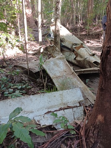
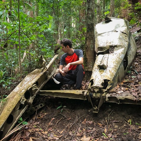
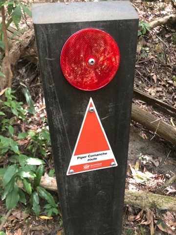
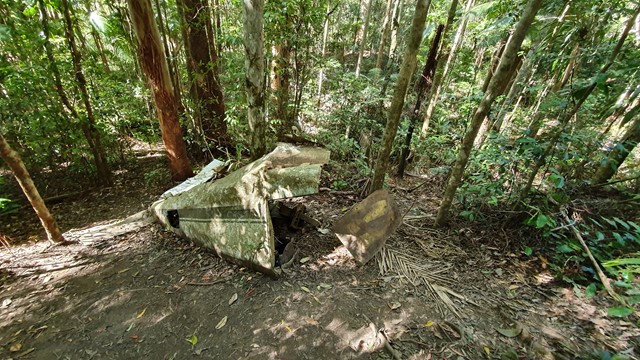
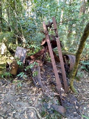
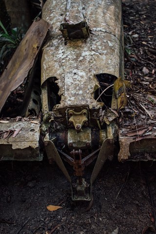
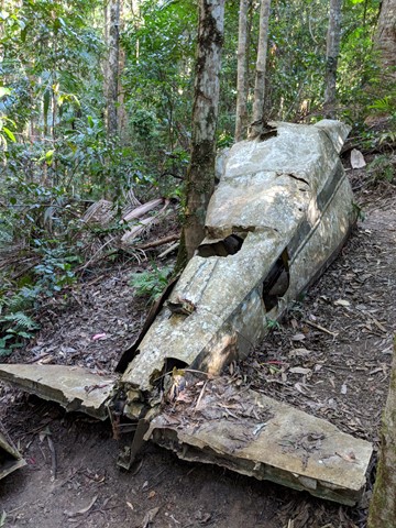
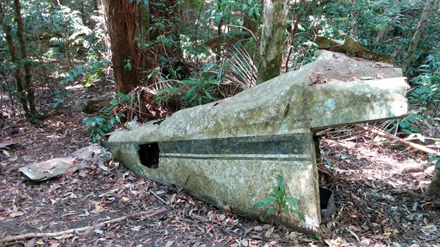
Piper Comanche Wreck
D'Aguilar National Park


Menu
GPS Tracks

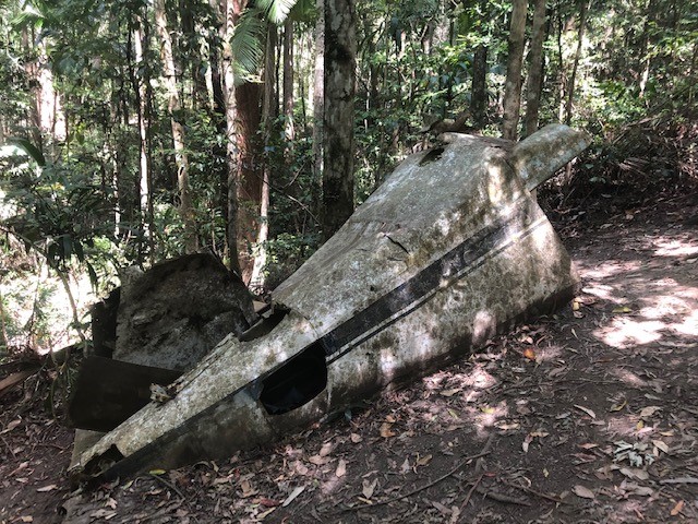
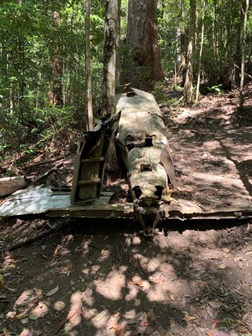


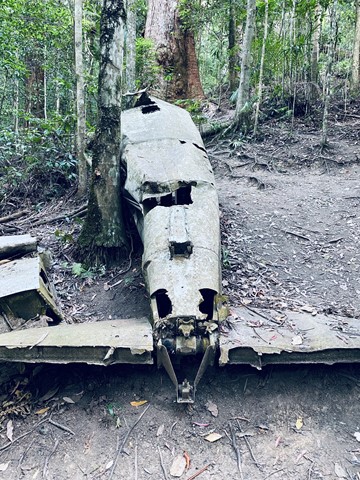


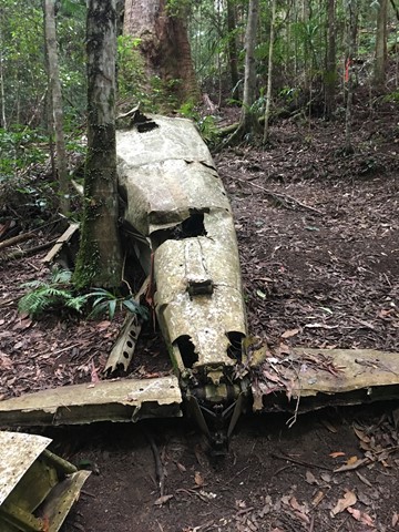


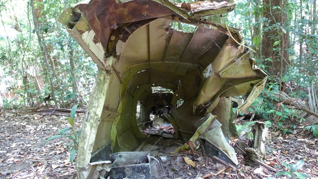
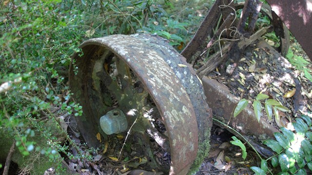
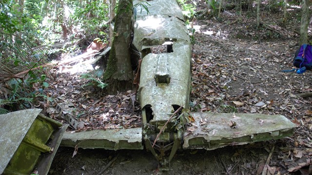

A walk to the remnants of an aeroplane wreck.

Getting there
Start at the Lepidozamia Track, 5.5km north of the Maiala picnic ground.
Maps
D'Aguilar National Park, South D'Aguilar section
Route/Trail notes
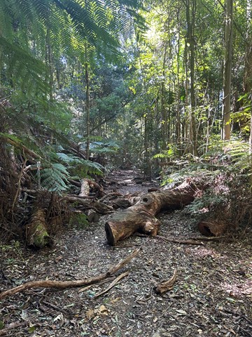
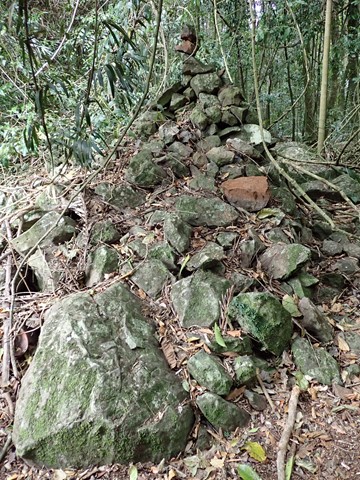
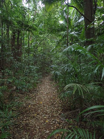
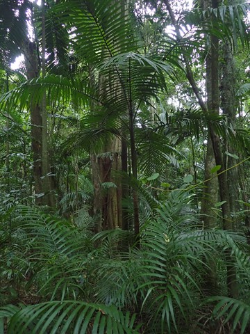
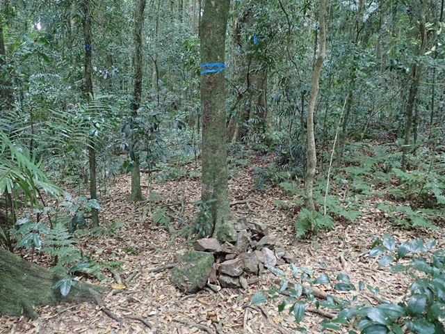
Just after the Lepidozamia track gate take the smaller trail to the east. Follow this old logging trail for approx. 3km until you see a small cairn of stones. Follow the faint trail northeast down a rocky and steep hillside for approx. 500 meters. The wreck is on the northern side of a small stream.
Take care when returning to the top of the ridge after visiting the plane wreck. Many walkers come unstuck here missing the turn right back along the main ridge route towards the carpark. This section of the forest has lots of tree roots and rocks on the ground, so the route is not well defined in this location. This combined with decoys of pink tape often lead walkers to the South (veering left at the ridge top) towards Love Creek. Careful navigation is required on this section of the route to avoid becoming lost and spending the night out in the forest. Multiple search and rescues happen in this area on a regular basis.
Permits/Costs
Nil
Other References
This walk was listed in the Bushpeople's Guide to Bushwalking in South-East Queensland.
 Piper Comanche Wreck (KML)
 7.5
7.5 2
2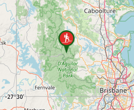
Comments