
Mt Tunbubudla West
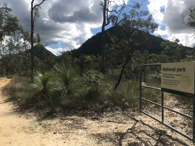
Glass House Mountains National Park


Menu
GPS Tracks

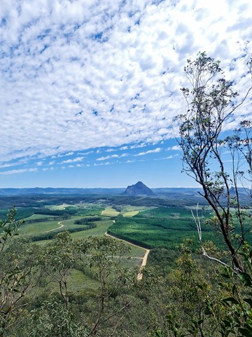
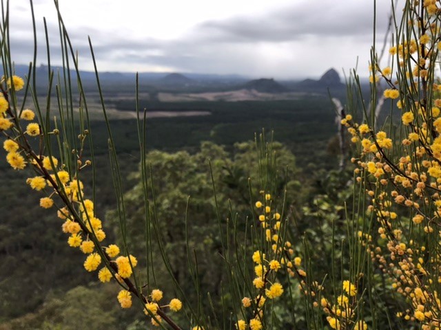

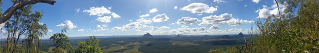
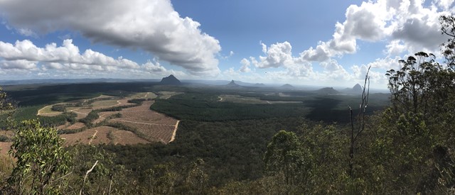

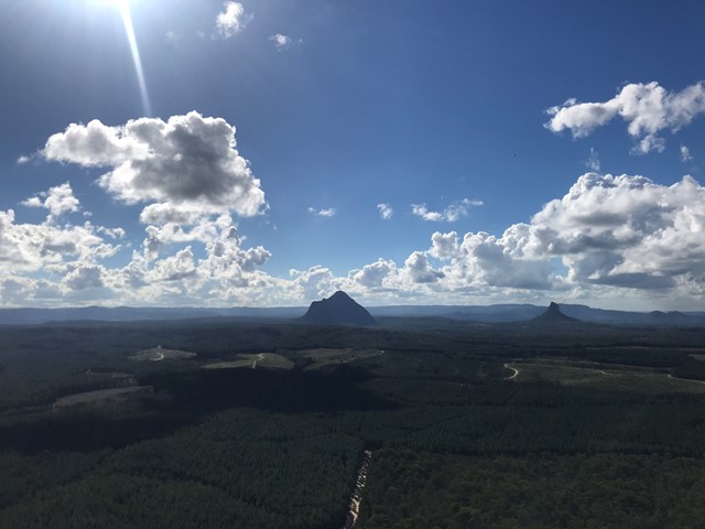
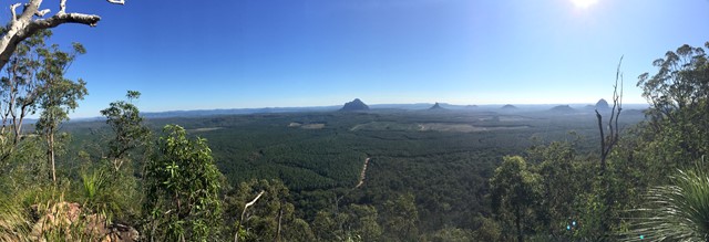
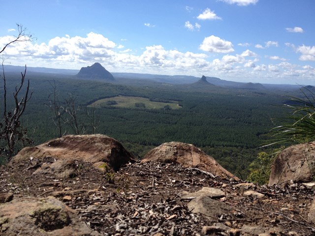
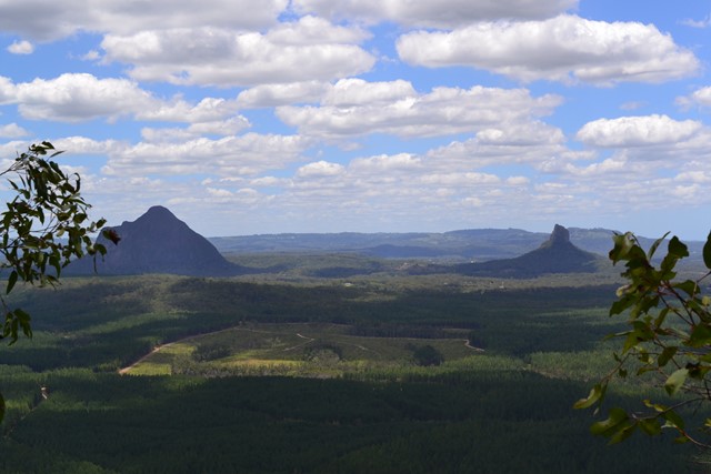
Mt. Tunbubudla is in fact two mountains known as The Twins. Not easy to access and certainly not easy to climb, but the reward is a new perspective of the remainder of the Glass House Mountains to your north.

Getting there:
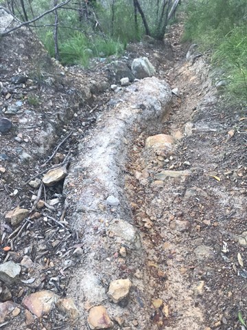
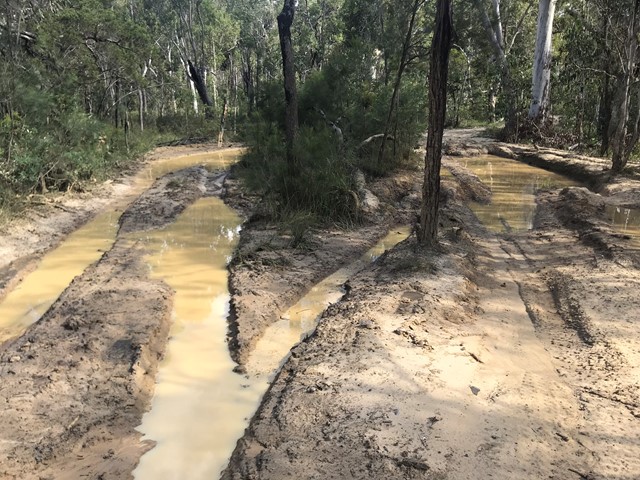
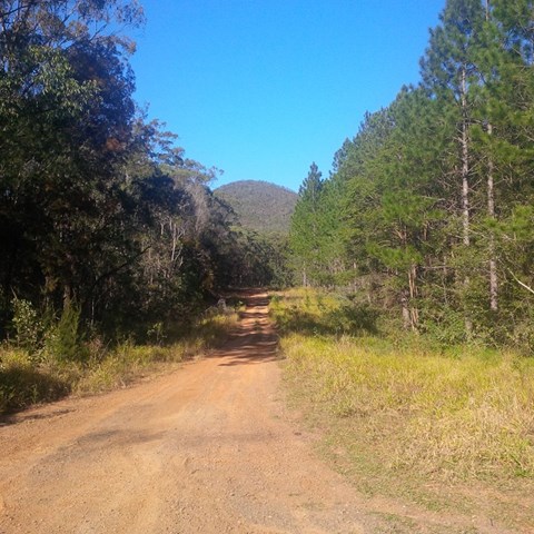
Unless you have a 4WD, then there is only one way in and then only if the weather has been dry for at least a week! This is important to take note of. Last time I climbed, a person was there in a honda civic - but the weather was dry. Deep mud ruts can be seen from vehicles going there in the wet, and it is evident that a 2wd would likely become stuck in these conditions.
Follow the Steve Irwin Way to Beerburrum and turn west along the Beerburrum Road. After 1.8km, turn right onto Eaton Road and follow this unsealed road for 3.7km to the 'T' junction with the power lines running right and left, where you can park. The start of the walk is directly opposite you.
Maps:
Route/Trail notes:
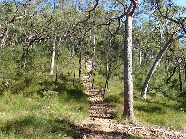
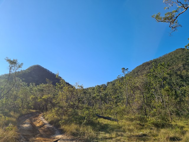
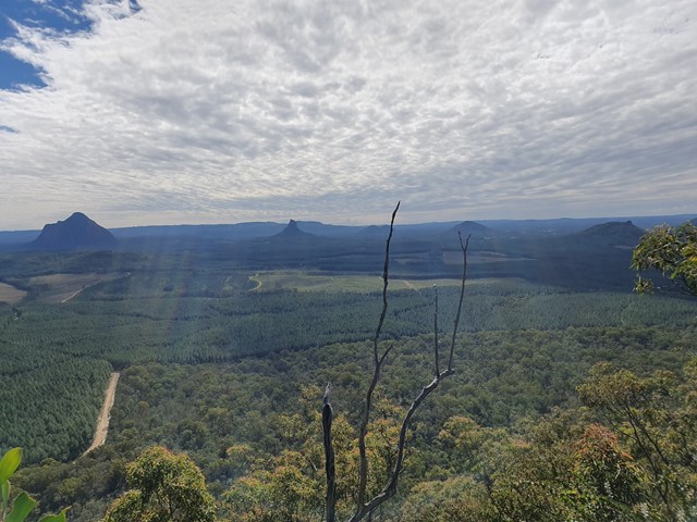
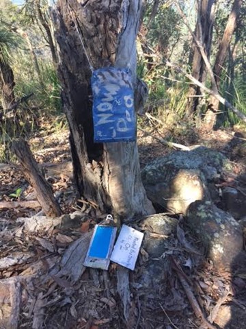
Follow the dirt bike track as it winds around the Eastern Twin for 1.4km till you reach a fork in the track. Take the right hand track and follow for 500m to the mountain's saddle. To the left is a well defined track that leads to the cliff face.
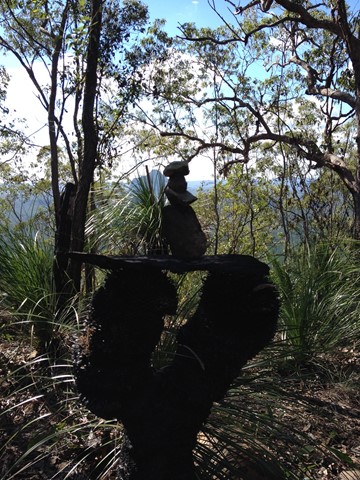
From here, you can follow the cliff face left till you find a 'pink flagged' gully leading to the top. The right hand route requires you to climb the rock face to the top. There is a rock cairn to mark the top, but the best views are from the cliff face to the north.
You now have the option to return to the 'saddle' and climb the opposite East Twin or return the way you came.
Permits/Costs:
None.
 Mt Tunbubudla (West Twin) (KML)
 4.7
4.7 3.5
3.5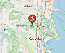
Comments