
Granite Arch
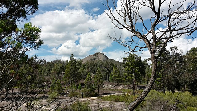
Girraween National Park


Menu
GPS Tracks
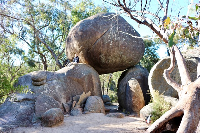
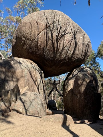
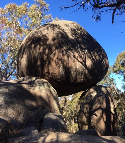
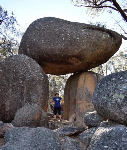
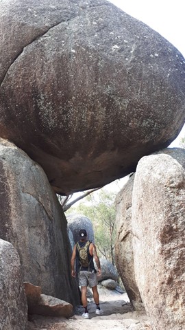
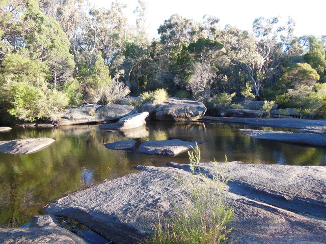
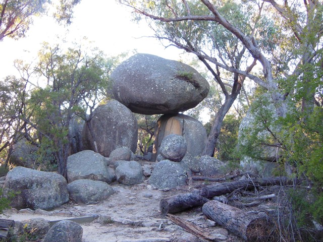
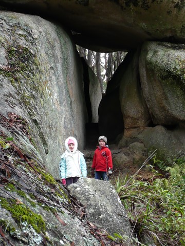
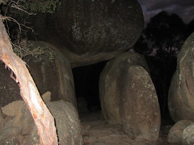
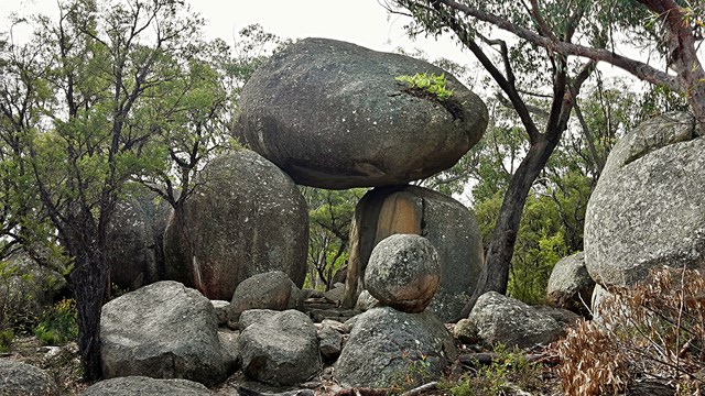
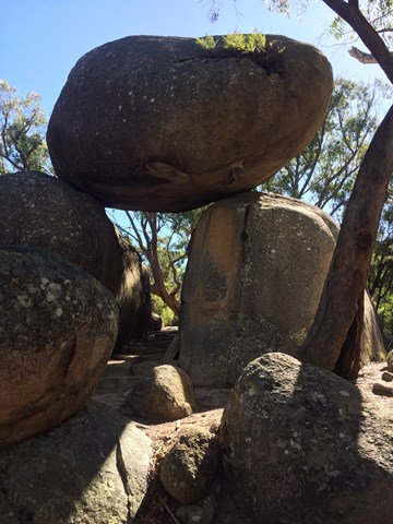
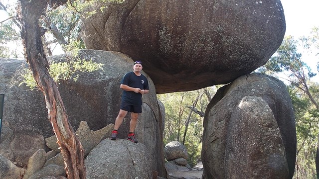
If time is limited, or if you prefer an easy stroll, this circuit track is ideal. Cross bald Rock Creek and wind through blackbutt and stringybark forest to Girraween's very own natural stone archway.

Getting there:
Girraween NP is situated approximately 260km by road south-west of Brisbane. To reach the park, turn off the New England Highway 26km south of Stanthorpe or 30km north of Tenterfield onto Pyramids Road. The winding bitumen road continues a further 9km east through the Wyberba Valley to the park's Information Centre and day use picnic area.
An alternative road from Stanthorpe to Girraween via Eukey and Storm King Dam has some gravel sections.
Maps:
Route/Trail notes:
Follow the signposted track starting from the day use and picnic area. The track crosses over the creek on a concrete bridge along the same track as The Pyramid track. From here, track left as signposted and down through the arch and eventually back to the original track at the concrete bridge.
Permits/Costs:
None.
Other References/Comments:
With so many bushwalking options in the park, why not take advantage of the excellent camping facilities at Bald Rock Creek or Castle Rock.
 Granite Arch Circuit (KML)
 1.7
1.7 30
30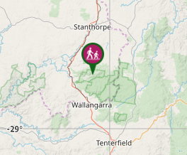
Comments