
Charlie Moreland to Mt Allan
Conondale National Park


Menu
GPS Tracks

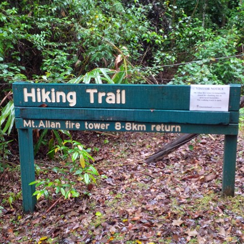
When you arrive at Charlie Moreland Camping ground in Imbil State Forest , go to visitor information then look to your left , there is a camp ground walk past that to find a gate and a sign stating Mt Allan hike trail 8.8km return
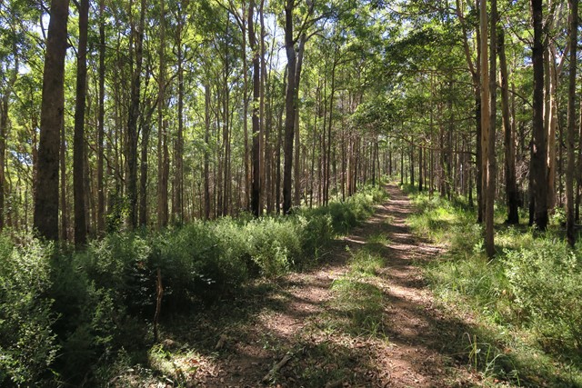
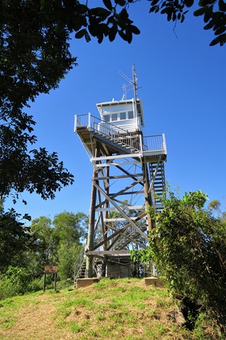
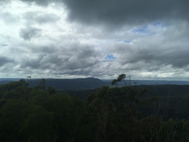
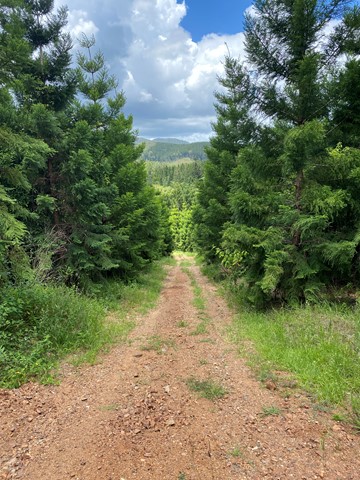
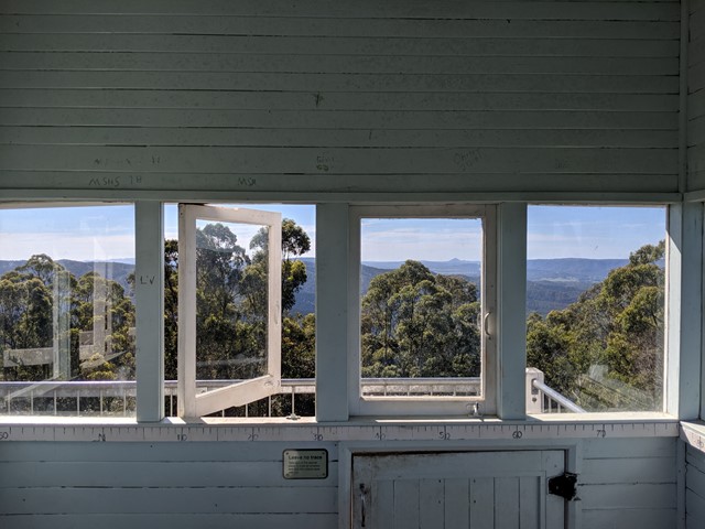
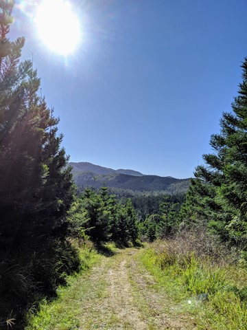
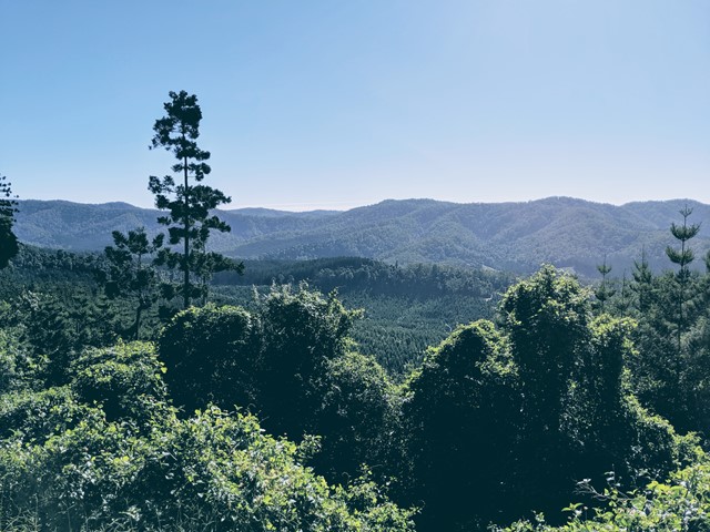
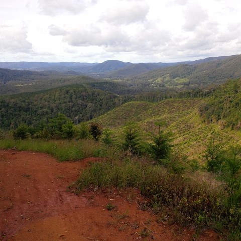
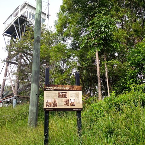
This is a steady continues incline that will lead you right up to Mt Allan firetower. This is a wide track used for fire trucks and Qld Parks to get up to the fire tower. Enjoy the amazing wide open space views of mainly a pine forest area.

Getting there:
From Kenilworth travel south on the Maleny Kenilworth Road for 6km before turning right onto Sunday Creek Road. From here on, the road is unsealed, but can be used by conventional vehicle. After 5km you will reach the Day Use Area on the left, where you can park.
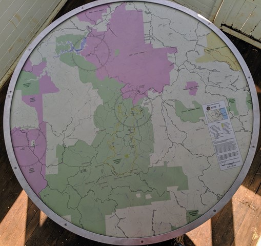
Maps:
Route/Trail notes:
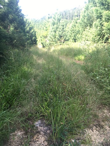
A track used by fire trucks, so open and wide but a steady incline all the way up.
Permits/Costs:
None. There are various camping options within the park, that require you to buy a permit. See:
 Charlie Moreland Camping To Mt Allen (GPX)
 8.8
8.8 3
3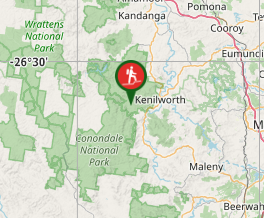
Comments