Menu
Popular Walks
-
Mt Ngungun
(1162 ticks) -
Mount Coolum
(874 ticks) -
Mt Cordeaux
(669 ticks) -
Twin Falls Circuit
(638 ticks) -
Purling Brook Falls Circuit
(611 ticks)
Summary
The Sunshine State Queensland has a wealth of bushwalking opportunities including multiple World Heritage Listed rainforests such as the Daintree and Lamington National Park, great coastal and island parks like Fraser Island and Hinchinbrook Island.
Popular Walks
-
Mt Ngungun
(1162 ticks) -
Mount Coolum
(874 ticks) -
Mt Cordeaux
(669 ticks) -
Twin Falls Circuit
(638 ticks) -
Purling Brook Falls Circuit
(611 ticks)
Sub-Regions
Other Information
World Heritage Areas
- Fraser Island
- Gondwana Rainforests of Australia (Lamington NP, Springbrook NP, Mount Chinghee NP, Mount Barney NP, Main Range NP)
- Great Barrier Reef
- Riversleigh
- Wet Tropics (Daintree NP, Barron Gorge NP, Cedar Bay NP, Girringun NP, Wooroonooran NP)
Contact details
Queensland Parks and Forest:
https://parks.des.qld.gov.au/
Regions
The link below provides a region map of QLD as a reference to what council zones are included in the 7 geographic regions of QLD.
https://en.wikipedia.org/wiki/Regions_of_Queensland#/media/File:Qld-regions-map.gif

- Far North Queensland
- North Queesnland
- Central Queensland
- Mackay, Isaac and Whitsunday
- Wide Bay Burnett
- Darling Downs South West
- South East Queensland
Walks in Central Queensland

 800
m
800
m
 18
mins
18
mins
Isla Gorge
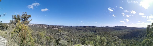
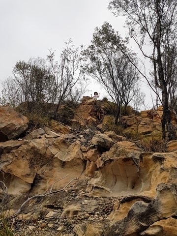
An easy walk from the camping ground along a rocky ridge to the end of a spur where you can view the spectacular gorge below. This is a landmark for those more intrepid walkers who venture down into the gorge where there are no set tracks. This is scrambling at its best - quite difficult and, in late September, very hot. We trekked down into the gorge and made our way through thick scrub to the other side to camp overnight. Heavy going with backpacks laden with water bottles. The return hike back up the spur to the camp grounds was quite arduous, but all in all, well worth the effort.



 3.5
km
return
90
mins
3.5
km
return
90
mins
Lark Quarry Conservation Park
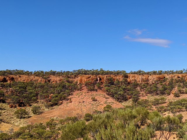
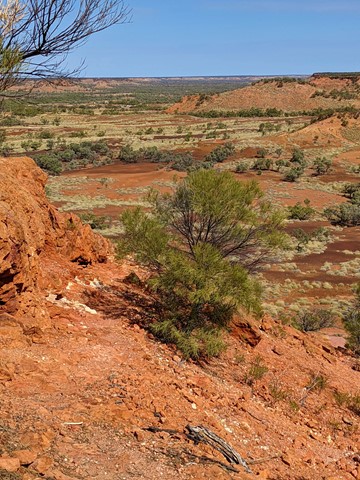
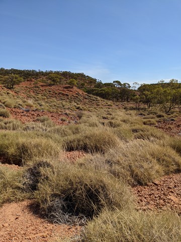
Most people come here for the Dinosaur Stampede exhibit, a unique preservation of footprints and multimedia presentation of how they may have come to be. Around the site are a couple of walks - the Spinifex circuit (500m, 30mins) and Jump-Up Loop (90mins, 3.5km) - that showcase the arid landscape around this area and are well-signposted with information cards to entertain the young and old and worthwhile either before or after viewing the Stampede. Do take a hat and water. The sun is cruel even in winter.

 1.8
km
return
90
mins
1.8
km
return
90
mins
Mount Baga
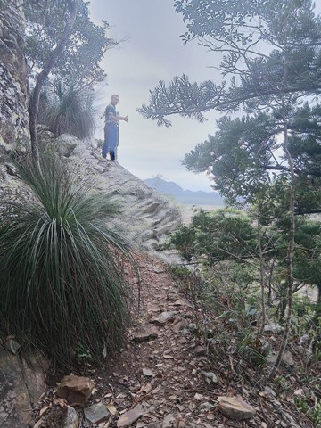
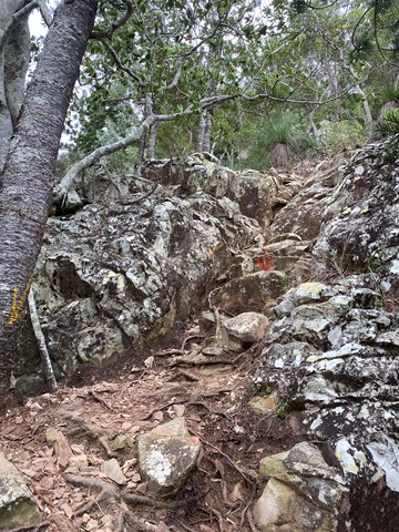
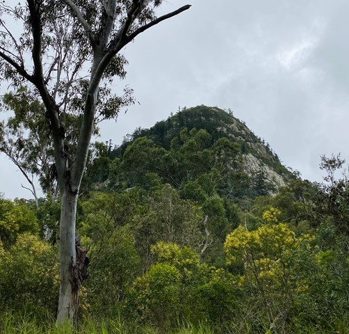
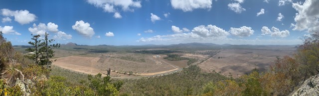
Mt Baga (formerly Mt Jim Crow) is a volcanic plug of trachyte, sitting alone on a flat plain at over 200m high. There are a few different tracks up which include steep walks. One section is a loose rock scramble for about 60m. Beautiful views. Easy bushwalk to the base of the mountain. A quick but hard climb up to the top.
 7
km
return
4
hrs
7
km
return
4
hrs
Mount Larcom Walk
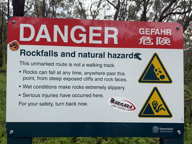
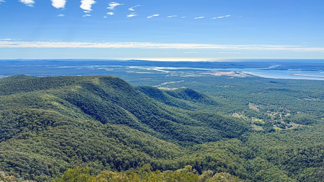
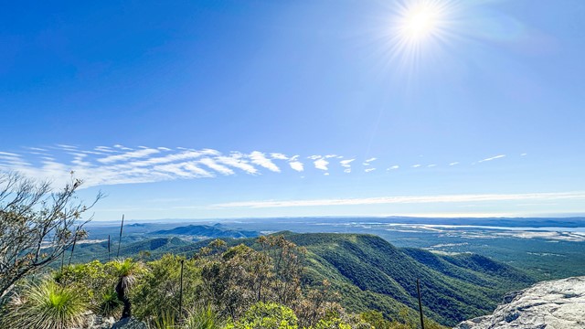
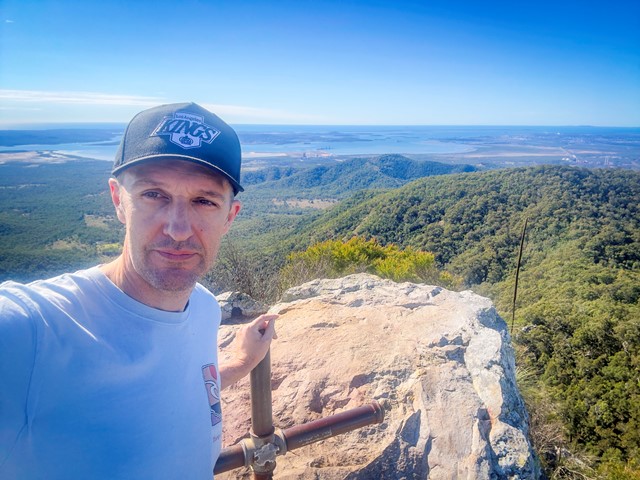
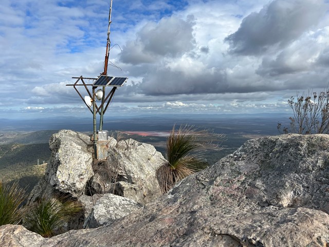
A steep climb up to the Mount Larcom TV relay station. Follow the blue dots and yellow markers and you can't go wrong. The beginning of the track is approximately 2kms and winds towards the base of the climb, lots of loose dirt and grass surrounding the trail. Cross the wooden bridge and the trail is straight up from there. Most of the trail is covered in very loose rock and dirt, lots of tree roots sticking up out of the ground - they make excellent footholds but watch your footing as it can be slippery on the way down. The last section involves some rock scrambling and whilst it is almost vertical towards the peak, three points of contact at all times is easily achieved. Bring plenty of water, at least 2ltrs per person, even in the Winter as this is a fairly strenuous hike. Beware if you have knee issues and the decent is punishing. Your quads will burn with that awesome workout feeling. Anyone can do this climb however some just need to take the full 4hrs turnaround.
 500
m
return
15
mins
500
m
return
15
mins
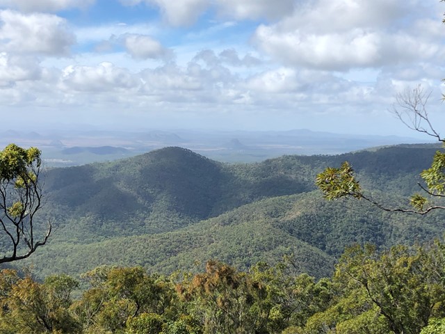
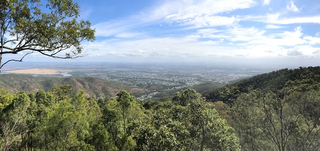
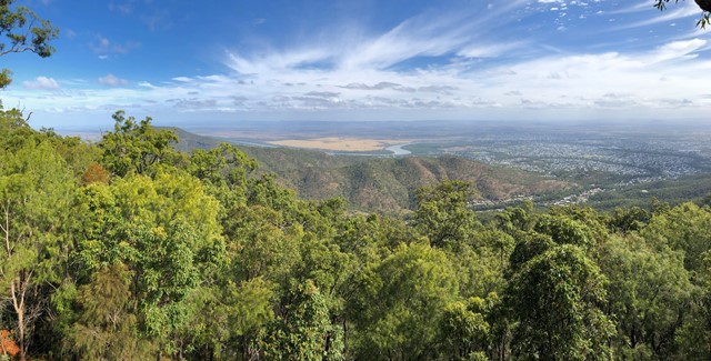
Mt Archer Skywalk
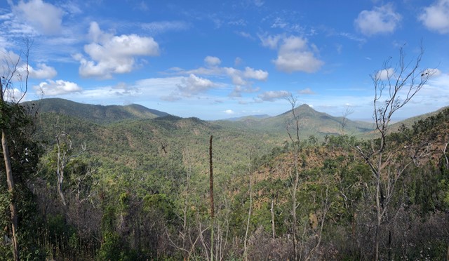
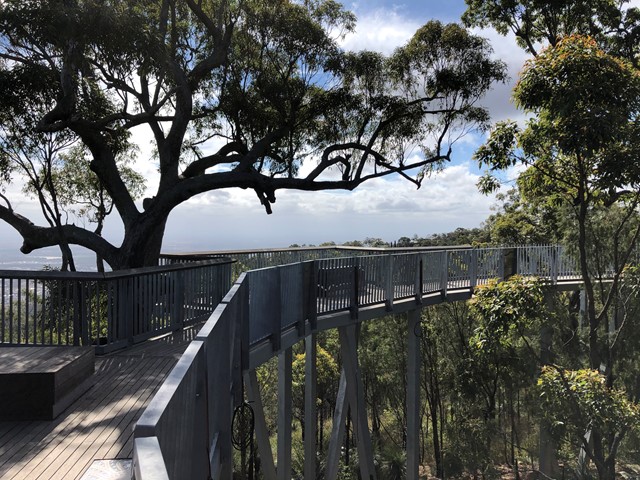
A circuit track on Mt Archer with lookouts over the surrounds of Rockhampton
 14
km
return
6
hrs
14
km
return
6
hrs
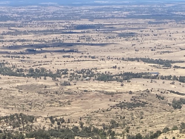
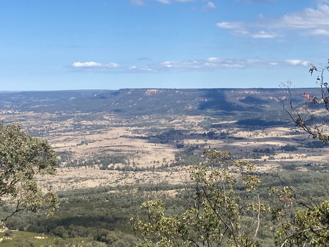
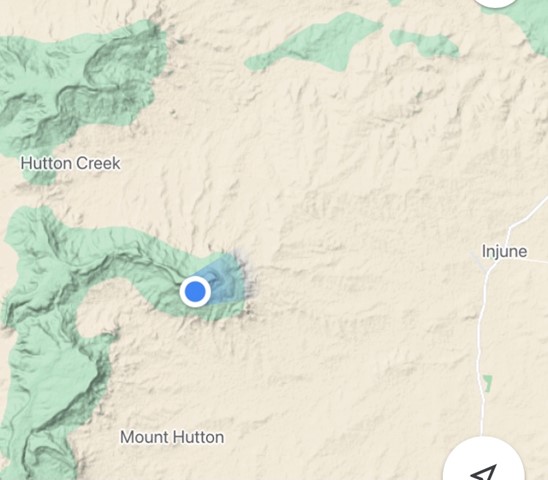
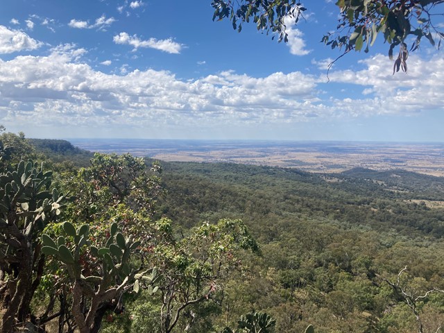
Mt Hutton
Mt Hutton provides sensational 360-degree views out towards Injune and the surrounding Maranoa region.
 600
m
return
30
mins
600
m
return
30
mins
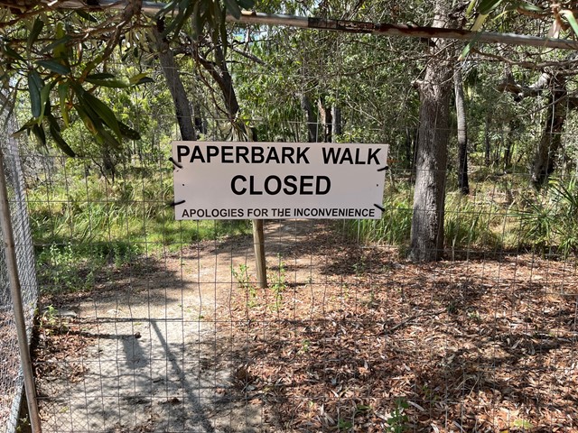
Paperbark Forest Boardwalk
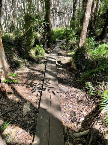
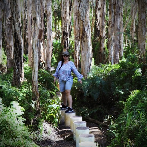
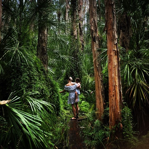
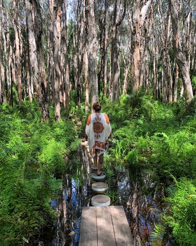
*** The Paperbark Forest Walk is closed. Reedy Creek Reserve is a small conservation area which unfortunately become overwhelmed by visitors, to the point where the walk, the forest and wetlands were being damaged. Literally thousands of people were visiting the site, ignoring the signage and causing the walk, the road and car park to become a foot and vehicle traffic jam. Please do no attempt to access the boardwalk or enter the reserve. *** This short trail is an exciting walk for all the family, with stepping stones, boardwalks and water crossings as you meander through a magnificent and picturesque Paperbark Forest.
 5.6
km
return
2
hrs
5.6
km
return
2
hrs
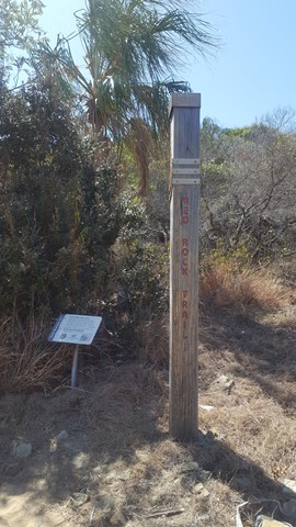
Red Rock Walking Trail
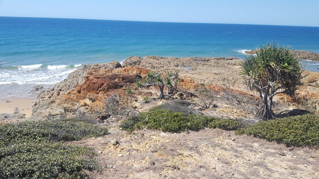
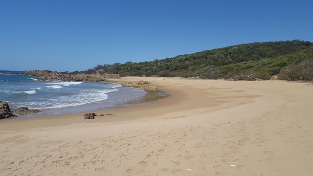
This picturesque walk crosses three beaches and corresponding headlands to Red Rock Headland, providing beautiful coastal scenery along the way. It is not uncommon to see a family of wallabies in the shade of one of the headlands, as well as White Bellied Sea Eagles cruising over the water.
 3.3
km
return
90
mins
3.3
km
return
90
mins
Round Hill Creek & Headland Track
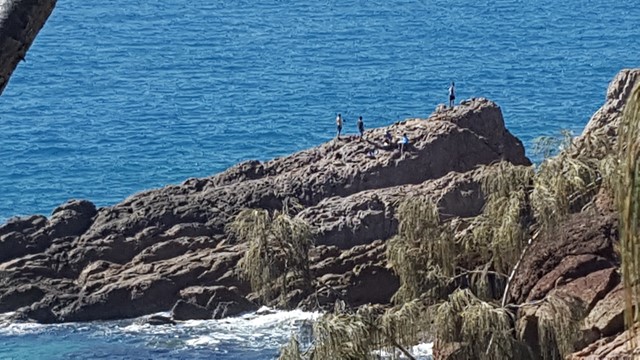
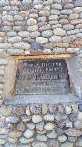
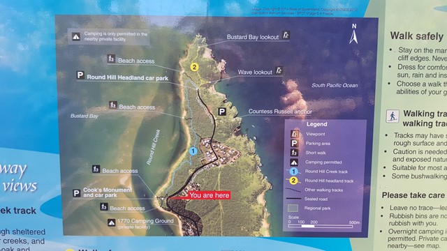
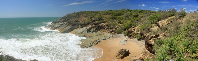
This walk combines both the Creek and Headland Tracks and provides a great little stroll from Captain Cook's Landing Memorial, along the foreshore via the 1770 Butterfly Walk to Round Hill's Bustard Bay and Wave Lookout's with splendid views in all directions. It's worth planning for a swim along the calm shoreline of Round Hill Creek. Look out for the Blue Tiger Butterflies especially in autumn.