
Menu
Popular Walks
-
Mt Ngungun
(1156 ticks) -
Mount Coolum
(872 ticks) -
Mt Cordeaux
(668 ticks) -
Twin Falls Circuit
(636 ticks) -
Purling Brook Falls Circuit
(611 ticks)
Summary
The Sunshine State
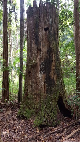
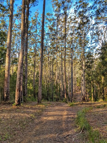
Queensland has a wealth of bushwalking opportunities including multiple World Heritage Listed rainforests such as the Daintree and Lamington National Park, great coastal and island parks like Fraser Island and Hinchinbrook Island.
Popular Walks
-
Mt Ngungun
(1156 ticks) -
Mount Coolum
(872 ticks) -
Mt Cordeaux
(668 ticks) -
Twin Falls Circuit
(636 ticks) -
Purling Brook Falls Circuit
(611 ticks)
Sub-Regions
Other Information
World Heritage Areas
- Fraser Island
- Gondwana Rainforests of Australia (Lamington NP, Springbrook NP, Mount Chinghee NP, Mount Barney NP, Main Range NP)
- Great Barrier Reef
- Riversleigh
- Wet Tropics (Daintree NP, Barron Gorge NP, Cedar Bay NP, Girringun NP, Wooroonooran NP)
Contact details
Queensland Parks and Forest:
https://parks.des.qld.gov.au/
Regions
The link below provides a region map of QLD as a reference to what council zones are included in the 7 geographic regions of QLD.
https://en.wikipedia.org/wiki/Regions_of_Queensland#/media/File:Qld-regions-map.gif
- Far North Queensland
- North Queesnland
- Central Queensland
- Mackay, Isaac and Whitsunday
- Wide Bay Burnett
- Darling Downs South West
- South East Queensland
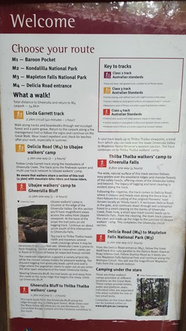
Walks in Mapleton National Park
(South East Queensland)
 700
m
return
700
m
return
 15
mins
15
mins
Linda Garrett Circuit
A very short walk dedicated to Linda Garrett, who donated lands for the benefit of the community.
 14
km
4
hrs
14
km
4
hrs
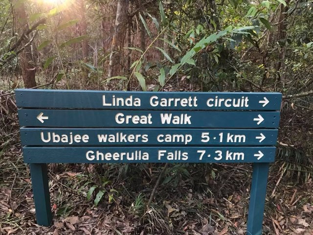
M4 parking/Ubajee walkers camp/Gheerulla falls loop
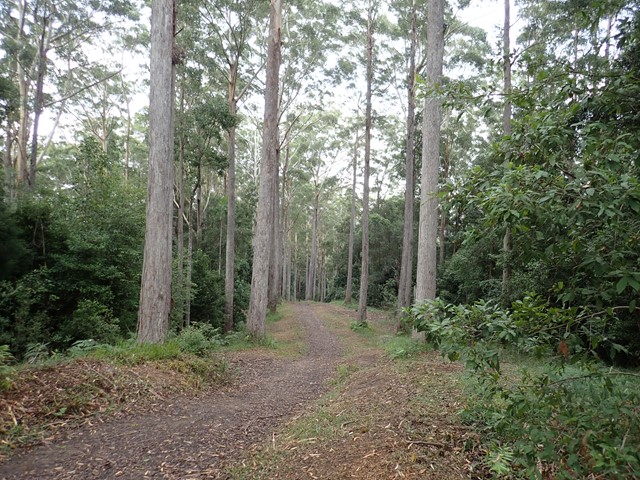
This is pleasant walk which is part of the Sunshine Coast Great walk. To get there turn down Delicia road and proceed to the M4 parking area. From there take the Great walk trail that leads to the Ubajee Walkers camp. From the camp follow the trail down to the Gheerulla falls and then from there its simply a matter of following the track back up to Delicia road (appr 2 km) and back to the carpark via the dirt road.
 1.8
km
return
1
hr
1.8
km
return
1
hr
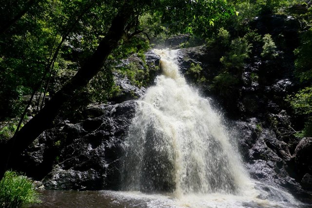
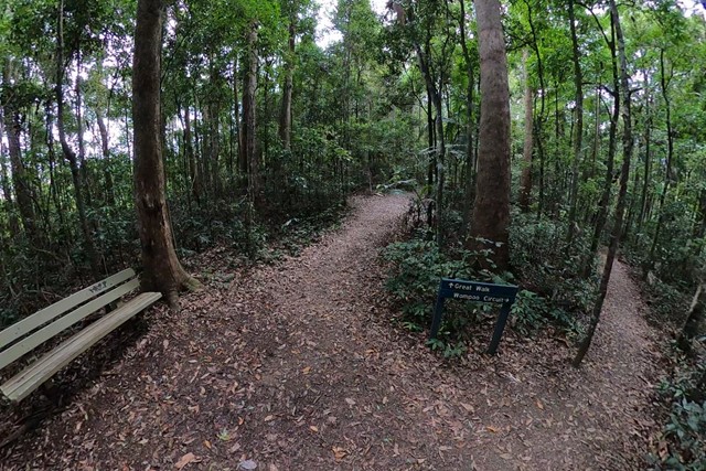
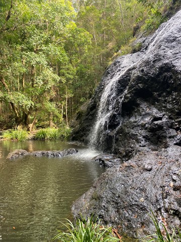
Mapleton Falls & Wompoo Circuit
This walk winds through rainforest and eucalypt forest, whilst providing views of the 120m falls tumbling down the escarpment from Pencil Creek into Obi Obi Valley.
 9.2
km
return
3
hrs
9.2
km
return
3
hrs
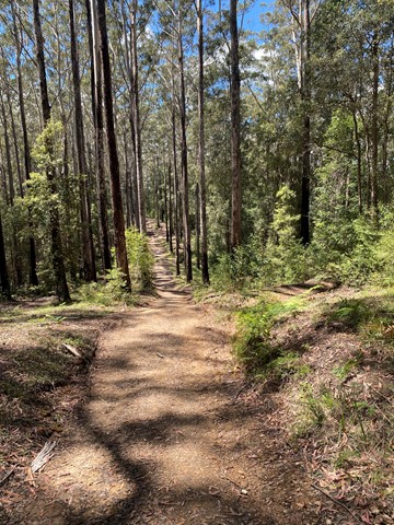
Mt Thilba Thalba via Gheerulla Creek
A section of the Gheerulla Valley circuit. A moderate climb on a well maintained track leading to a lookout on Mt Thilba Thalba 1.2 km before the Thilba Thalba walkers camp. A 200 metre side track on the left of the main track leads to a rocky outcrop looking out over the valley.
 6.9
km
return
2
hrs
6.9
km
return
2
hrs
Piccabeen Circuit
Piccabeen Circuit provides a pleasant walk through piccabeen groves, tall blackbutt forest and rainforest communities and across various creeks.
 6.7
km
return
105
mins
6.7
km
return
105
mins
Point Glorious
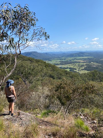
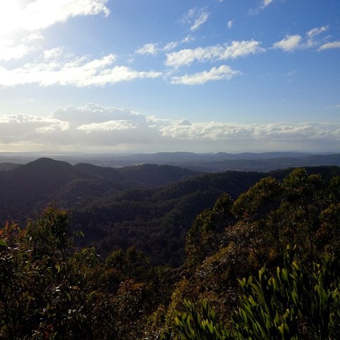
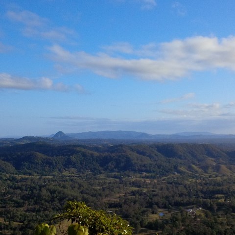
A walk in along a forest road, with the reward of wonderful views of the surroundings from the lookout, including Mt Eewah, which at 422m is just 2km in front of you.
 16
km
return
4
hrs
16
km
return
4
hrs
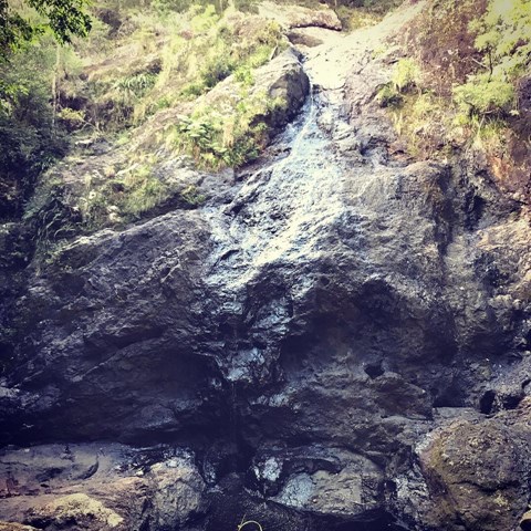
Sam Kelly Road to Gheerulla Falls
A easy to moderate hike which roughly follows the course of Gheerulla Creek to Gheerulla Falls. Experience changing habitats as you leave the cool, valley floor to skirt the hills, pass through eucalypt forest and then return to rain forest. You will pass deviations to Thilba Thalba walkers’ camp and later to Ubajee walkers’ camp, but keep going straight ahead, following the signs to the waterfall. Return by the same route. There are several water holes which may provide swimming opportunities.
 37.5
km
one-way
3
days
37.5
km
one-way
3
days
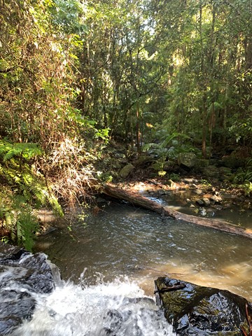
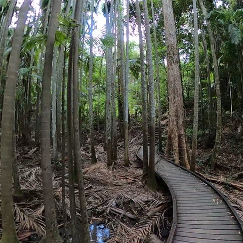
Sunshine Coast Great Walk - North to South - Gheerulla Camping Area to Baroon Pocket Dam
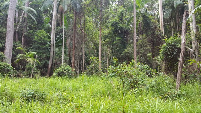
You'll enjoy walking past waterfalls, peering into gorges and resting near rock pools. There's some stunning views and wonderful lookouts along the way. Notice the plant communities around you and how they change from warm subtropical rainforest to tall open eucalypt forest; all protected in three beautiful national parks—Kondalilla, Mapleton Falls and Mapleton.
There are more than 100 species of birds, about 70 reptile species and more than 30 frog species, so you'll have lots of wildlife around you.
The Sunshine Coast Hinterland Great Walk's many access points offer different walking options.
58.8km long-distance walking with overnighting in the three remote, walkers' camps
full-day walks with some comfortable holiday house accommodation nearby
shorter half-day walks.