
Menu
Popular Walks
-
Mt Ngungun
(1156 ticks) -
Mount Coolum
(872 ticks) -
Mt Cordeaux
(668 ticks) -
Twin Falls Circuit
(636 ticks) -
Purling Brook Falls Circuit
(611 ticks)
Summary
The Sunshine State
Queensland has a wealth of bushwalking opportunities including multiple World Heritage Listed rainforests such as the Daintree and Lamington National Park, great coastal and island parks like Fraser Island and Hinchinbrook Island.
Popular Walks
-
Mt Ngungun
(1156 ticks) -
Mount Coolum
(872 ticks) -
Mt Cordeaux
(668 ticks) -
Twin Falls Circuit
(636 ticks) -
Purling Brook Falls Circuit
(611 ticks)
Sub-Regions
Other Information
World Heritage Areas
- Fraser Island
- Gondwana Rainforests of Australia (Lamington NP, Springbrook NP, Mount Chinghee NP, Mount Barney NP, Main Range NP)
- Great Barrier Reef
- Riversleigh
- Wet Tropics (Daintree NP, Barron Gorge NP, Cedar Bay NP, Girringun NP, Wooroonooran NP)
Contact details
Queensland Parks and Forest:
https://parks.des.qld.gov.au/
Regions
The link below provides a region map of QLD as a reference to what council zones are included in the 7 geographic regions of QLD.
https://en.wikipedia.org/wiki/Regions_of_Queensland#/media/File:Qld-regions-map.gif
- Far North Queensland
- North Queesnland
- Central Queensland
- Mackay, Isaac and Whitsunday
- Wide Bay Burnett
- Darling Downs South West
- South East Queensland
Walks in South East Queensland

 4.5
km
return
4.5
km
return
 90
mins
90
mins
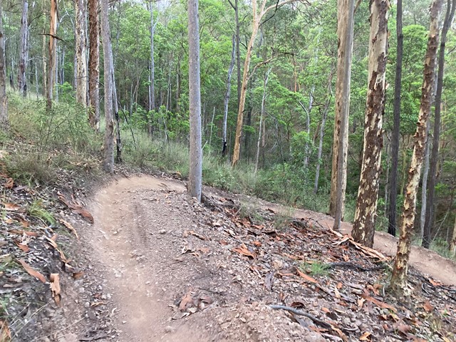
Ironbark Gully Break Loop
loop walk within the Samford Conservation Park; undulating trail on maintenance road.
IGB East break/ Geiger break/ IGB break
The loop can be extended by inclusion of further trails.
 7
km
return
2
hrs
7
km
return
2
hrs
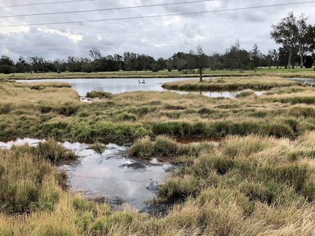
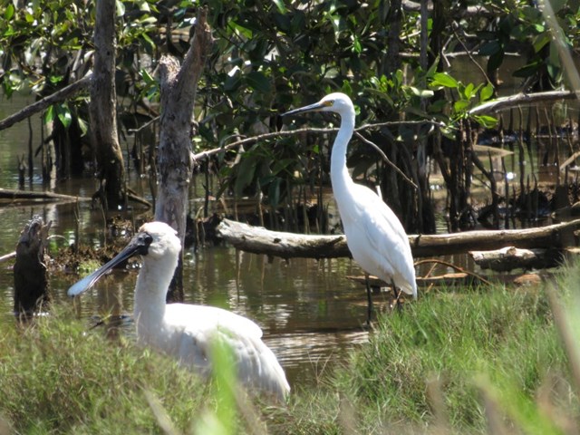
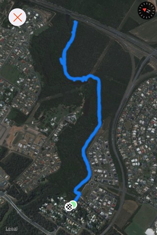
Jim Soorley Bikeway and Wetlands
A shared bike way along the Schulz Canal into a wetland area with plenty of bird life.
 2.5
km
return
45
mins
2.5
km
return
45
mins
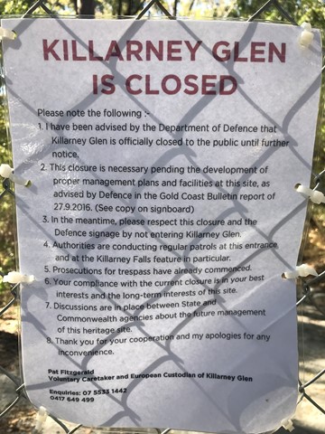
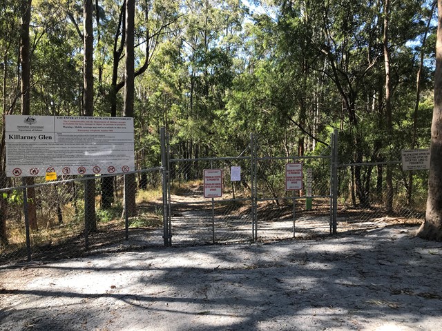
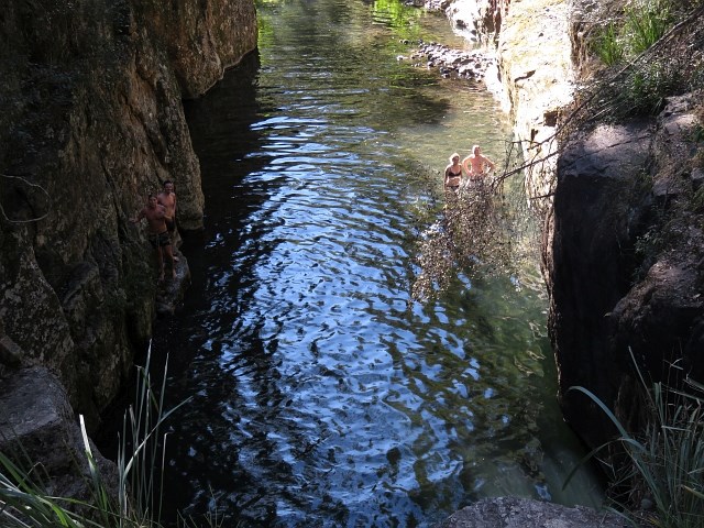
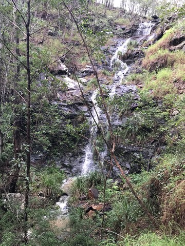
Killarney Glen - PERMANENTLY CLOSED
Killarney Glen has been permanently closed. This page is maintained to allow members to record previous visits to this walk.
 2
km
return
1
hr
2
km
return
1
hr
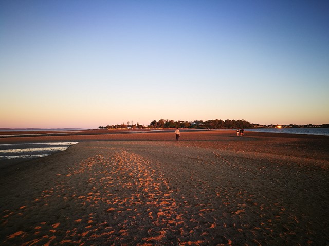
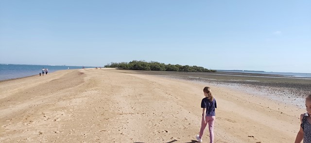
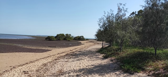
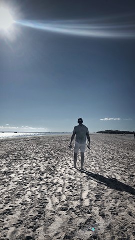
King Island
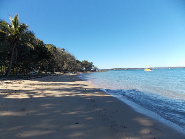
A 2km return walk from Wellington Point along the sand spit at low tide, good for all , kids can play in water, get some sand between your toes, take your dog during the week, enjoy the water and unique views out over the bay.
 1
km
return
30
mins
1
km
return
30
mins
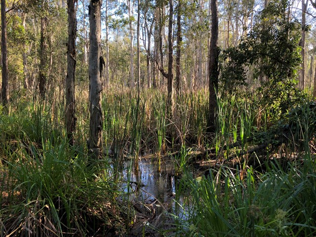
Kumbartcho Sanctuary
Kumbartcho is a Flora and Fauna Sanctuary incorporating walking tracks around, lake, gardens, bridges, forests and a public park, BBQ and playground
 4
km
return
40
mins
4
km
return
40
mins
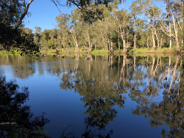
Lagoon Creek Walk
A fully sealed track that follows Lagoon Creek from the corner of Pettigrew and Ferris Streets. It follows Lagoon Creek along till it reaches the Bruce Highway.
The highlight of the track is the main lagoon where at the right time you may see a platypus as well as ducks and turtles.
 200
m
return
15
mins
200
m
return
15
mins
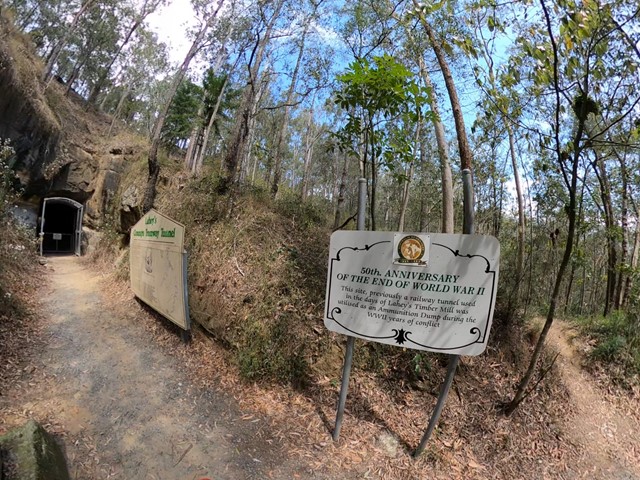
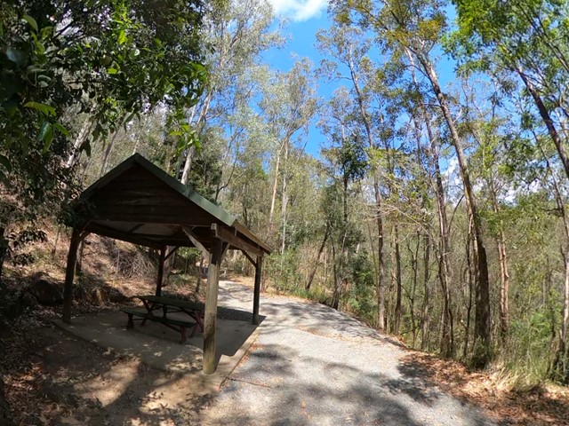
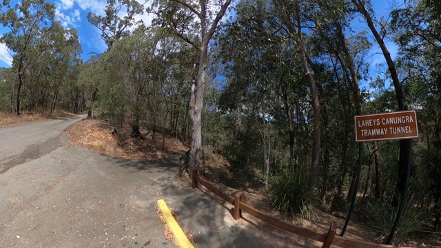
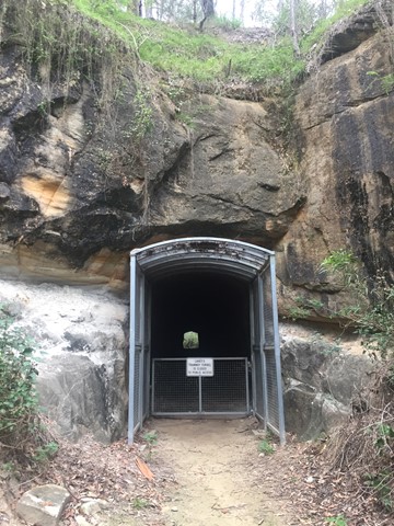
Lahey’s Tramway
Very short, easy walk. Just off the road so it’s very accessible. Informative sign at the bottom. You can’t go in to the tunnel though, but you can learn a bit about the history.
 7.68
km
return
2
hrs
7.68
km
return
2
hrs
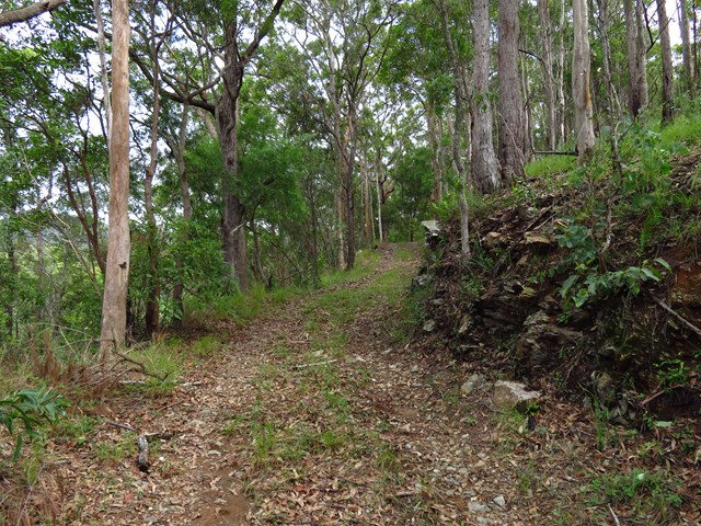
Lower Beechmont Conservation Area (Eastern Section)
The trails in this area are used by horse riders, mountain bikers, bushwalkers and nature lovers. This is a rugged, natural environment and you need to be well prepared and self reliant when in the reserve. Some of the trails link with those in Nerang Conservation Park.
 12
km
one-way
3
hrs
12
km
one-way
3
hrs
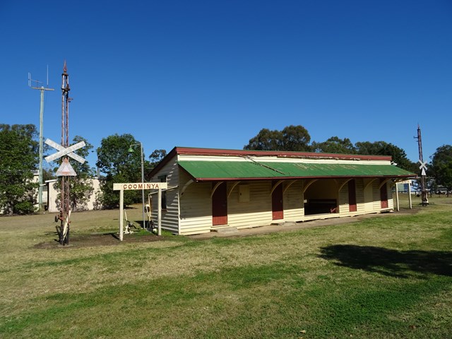
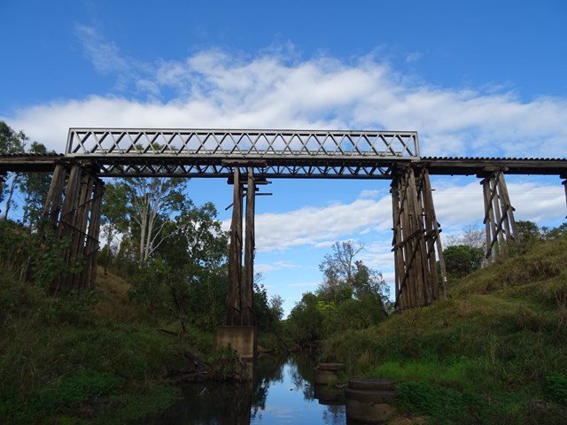
Lowood to Coominya Rail Trail
This walk is part of the Brisbane Valley Rail Trail, starts and finishes at the railway station. Coominya is a small town but has all services. A large and impressive rail bridge along the track but not accessible, a lower river crossing. The walk passes through farm lands so plenty of gates to open and shut but not a walk to complete in Summer months. The trail is well marked so maps are not required. Lowood is accessible after a turnoff at Fernvale which is situated on the Brisbane Valley Highway. Public amenities and car parking at both ends of the walk. No permits or costs for the walk.
 3
km
return
1
hr
3
km
return
1
hr
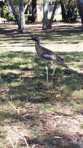
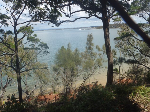
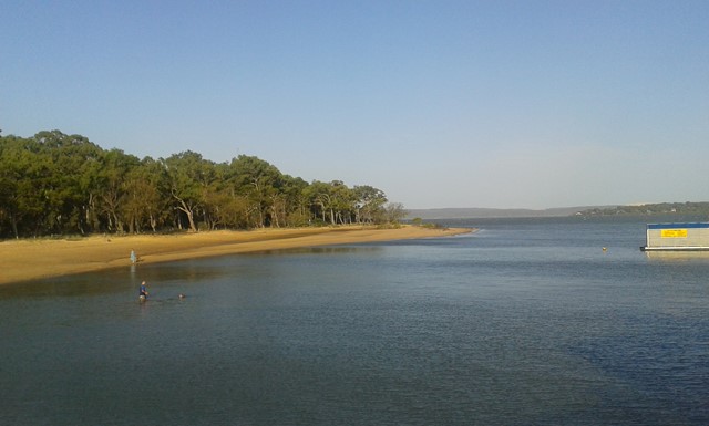
Melaleuca Wetland Reserve Walk (Coochiemudlo Island)
This walk takes you around half Coochiemudlo Island anti-clockwise. Relaxed atmosphere with beach views, half way through the walk will take you through the reserve where you can easily spot some Bush Stone-curlews.