
Menu

 1.3
km
return
1.3
km
return
 40
mins
40
mins
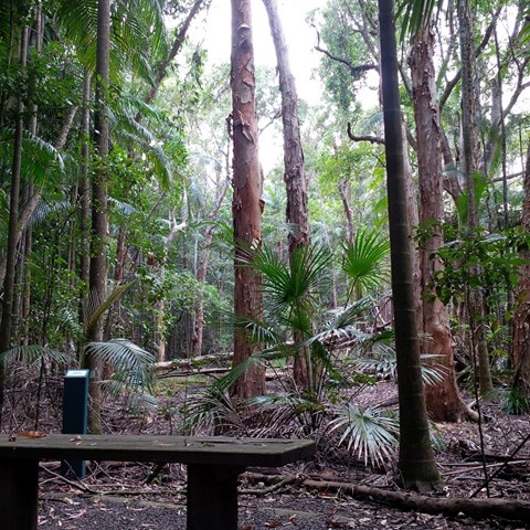
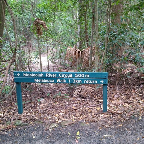
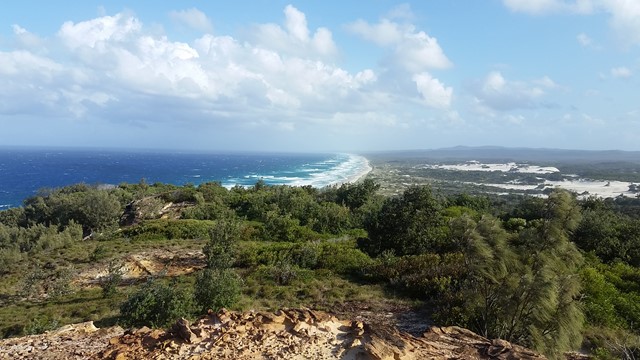
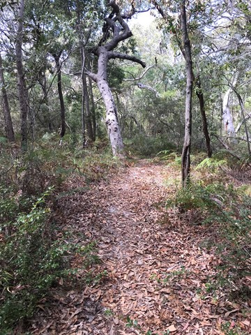
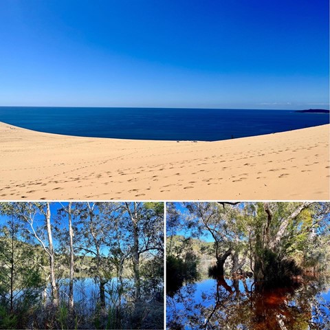
Melaleuca Trail, Jowarra Section
This is part of the Jowarra Section of the Mooloolah River a separate section of this park to be accessed via the Steve Irwin Way off the Bruce Hwy ( caloundra off ramp ) turn right at traffic lights into the Information Centre Car park ( there's also Daisy's Restaurant ) in the middle of the car park you will find the entrance of park leading to both walks.
 500
m
return
20
mins
500
m
return
20
mins
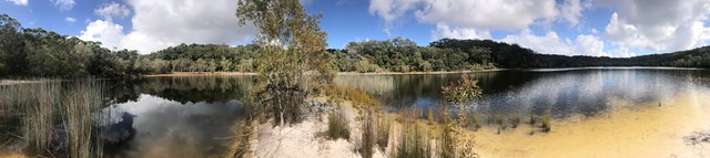
Mooloolah River Circuit
This is part of the Jowarra Section of the Mooloolaha River a separate section of this park to be accessed via the Steve Irwin Way off the Bruce Hwy ( caloundra off ramp ) turn right at traffic lights into the Information Centre Car park ( there's also Daisy's Restaurant ) in the middle of the car park you will find the entrance of park leading to both walks.
 60
km
return
4
days
60
km
return
4
days
Moreton Island Traverse From Tangalooma
one way loop can be undertaken in either direction
Start where the Ferry drops you off just North of Tangalooma. Walk down to Tangalooma and along the beach till the turn off for the Desert (there's a hazard beacon on the hill). Continue through the desert to the far side then continue along the Rous Battery track (9.8kms). Next day after exploring bunkers head straight North along the beach on the East side of the island. Next is to head along middle road then turn north where mount tempest can be climbed then continue along telegraph track (16Kms) then through to Buwler. Then from the North West corner of the island back south along the western shoreline to the ferry.
undertaken over 4 days
 8.7
km
one-way
2.5
hrs
8.7
km
one-way
2.5
hrs
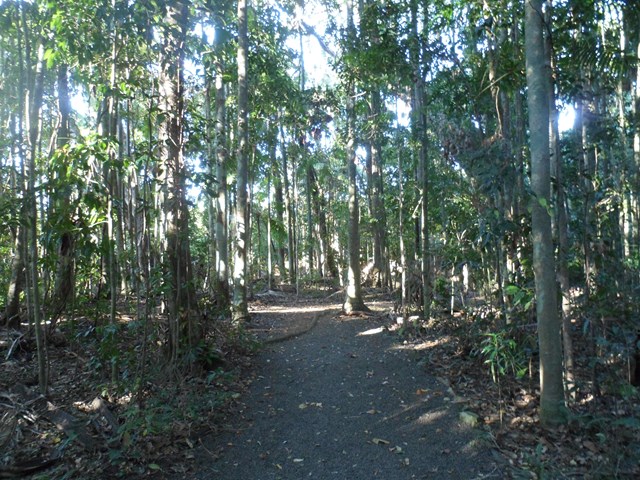
Telegraph Track
Park at Mt Tempest. Listed as a 4-6 hour return hike but i completed it in 2.5 hours as a fit solo walker.
All sand being located on Moreton Island and you certainly work the calves as a result! Some elevation but nothing major. Some good views to the Pacific Ocean when your high enogh on some of the climbs.
Great walk full of birds and lizards running around the place with no sight of snakes the day I walked. Good thing to do when tour living on the island 🌴
2.5
km
return
2
hrs
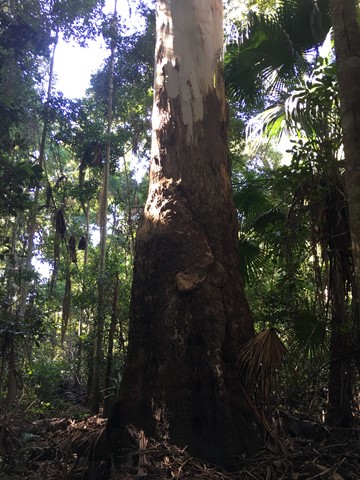
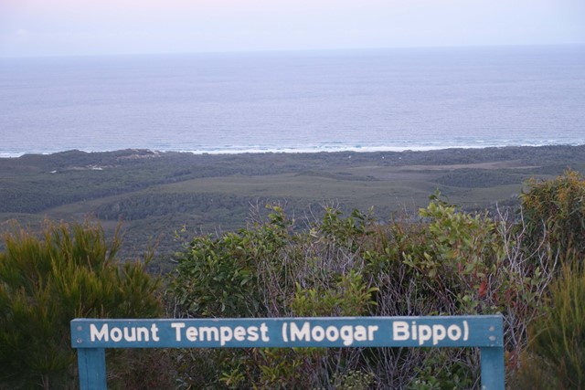
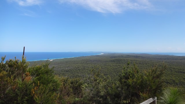
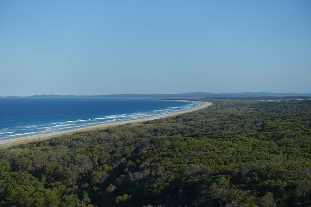
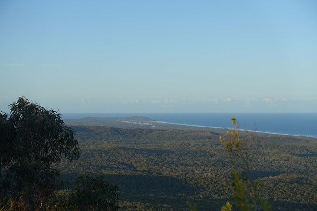
Mount Tempest
At 285 metres high, Mount Tempest is the highest stabilised sand dune in the world. The walk to the top of Mount Tempest is a memorable one, with sweeping views of Moreton Bay and the island’s length a spectacular experience. The wildflowers are nice in spring and humpback whales can be spotted migrating in late winter and spring.
 55
km
return
3
days
55
km
return
3
days
Moreton Island Traverse
A long sand walk that starts at Bulwer in the North and finishes at reeders Point south of Kooringal. walking both on beach and inland trails.
50
km
one-way
3
days
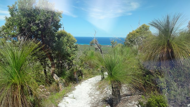
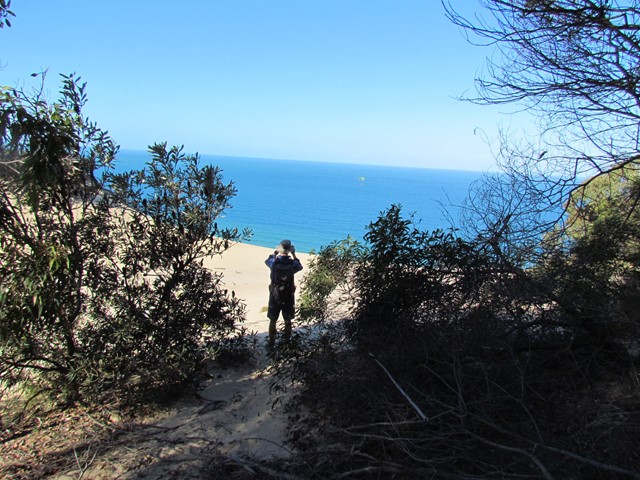
Sandy Dandy Hike
This is a shorter version of the other submitted walk on this island (Moreton Island Traverse).
If you want to see beautiful beaches, lovely lagoons, capacious capes, comfy camps and to fill every crevice on your body with sand then this walk is for you!
This walk will take you to Moreton Island's beaches, camp sites, lighthouse, inland trails, Mt Tempest, blue lagoon, the wrecks and Tangalooma Resort.
 21
km
return
6
hrs
21
km
return
6
hrs
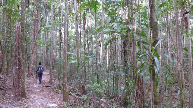
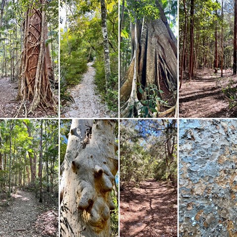
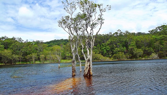
Bymien Day Use Area to Freshwater Campground
A wonderful walk through rainforest, kauri and hoop pines, Piccabeen and strangler figs. The walk is pretty straightforward with gentle inclines and descents over a mostly sandy base. Stop at Poona Lake for a swim and then continue on to Freshwater Lake then Freshwater campground before returning via the same track... Or leave Bymien Day Use area and head straight to Freshwater Campground for lunch then visit Freshwater Lake on your way back to Bymien. The track is well signed the entire way.
 20
km
return
7
hrs
20
km
return
7
hrs
Carlo Sand Blow to Poona Lake
This walk is part of the Cooloola Great Walk. Starting from the Carlo Sand Blow car park at Rainbow Beach, its a short 10 min walk to the Carlo Sand Blow. From there cross the sand blow to the other side and continue along the track. It is well sign posted. At the 5km mark the track parts into 2. Follow the path to Poona lake which is another 5km. This track is a much smaller track, but is well defined. Take a swim and have lunch at the lake and then return via the same way.
 900
m
return
30
mins
900
m
return
30
mins
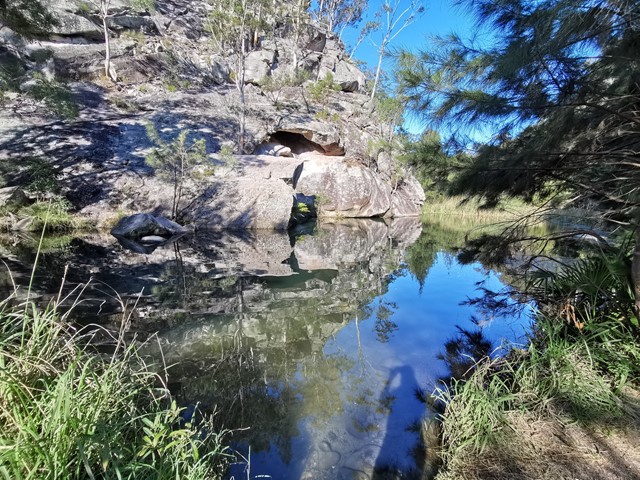
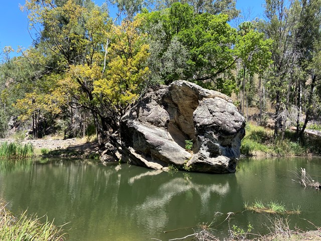
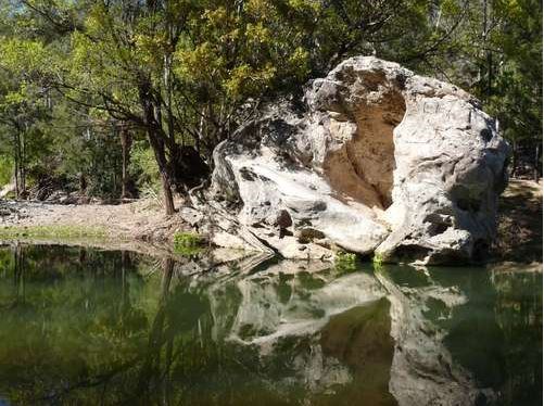
Rock Pool
The Rock Pool has been carved from the bed of Carnarvon Creek by the turbulent water of past floods. Rest in the shade of fig and casuarina trees and watch for platypus and turtles. Stop at the first pool if you must but there is a much bigger and deeper second pool just downstream. The picnic area includes toilets but no longer has a gas barbecue. This is the only place in Carnarvon Gorge designated for swimming.
 2
km
return
40
mins
2
km
return
40
mins
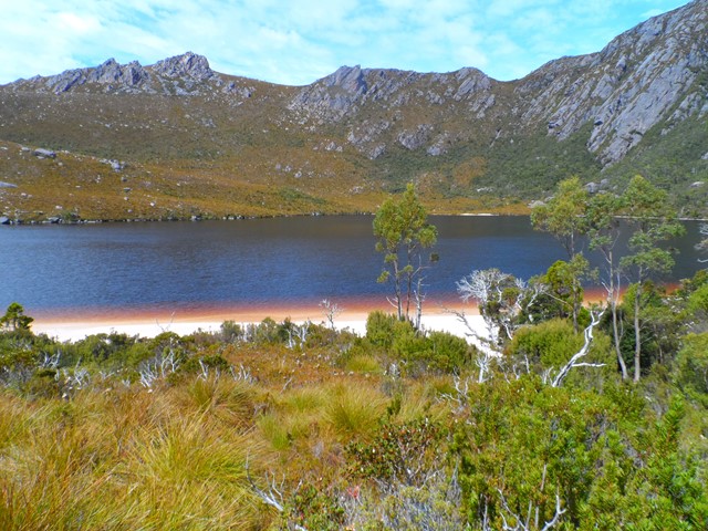
King Billy Track
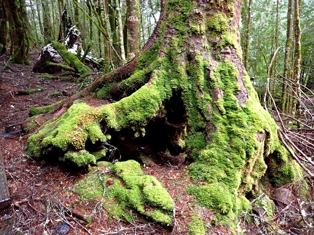
Fairly easy walk within the grounds of Cradle Mountain Lodge. Walk around through rainforest to discover King Billy Pines up to 1,500 years of age.
 18
km
one-way
6
hrs
18
km
one-way
6
hrs
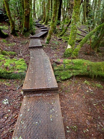
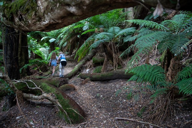
Narcissus Hut to Cynthia Bay (Lakeside Walk)
The hike from Narcissus Hut to Cynthia Bay along Lake St Clair (also referred to the Lakeside Walk) is the last – or first! – section of the Overland Track, and also makes a pleasant day walk. It's not the most interesting walk you can do, but does traverse long sections of temperate rainforest.
 1
km
return
20
mins
1
km
return
20
mins
Franklin River Nature Trail
Walk through the rainforest, partly along the Franklin River. National Park pass required.
 1.4
km
return
30
mins
1.4
km
return
30
mins
Nelson Falls
Walk through the rainforest on a well maintained trail to the viewing platform.
 9.7
km
return
5
hrs
9.7
km
return
5
hrs
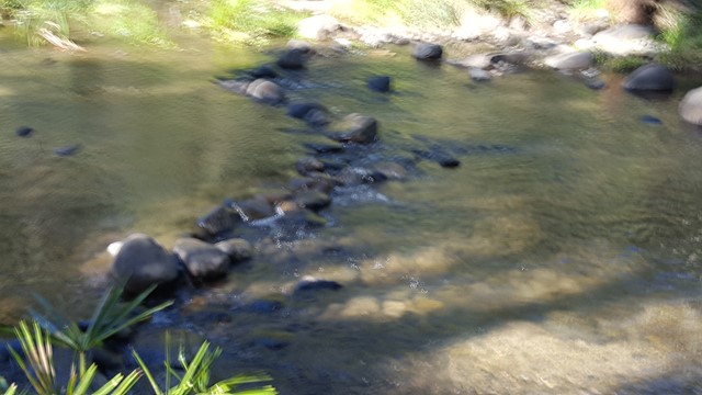
Main Gorge
Main gorge walking track
The main gorge walking track crosses Carnarvon Creek many times as it winds the 9.7km from the visitor centre to Big Bend. Side-tracks from the main gorge track lead to a range of sites. The track is mostly flat, although the side-tracks involve steeper sections.
The featured sites on side-tracks can be combined to create one-day walks. For example, the Moss Garden, Amphitheatre, Ward's Canyon and the Art Gallery sites can be visited on a 14km return one-day walk.
 2.6
km
return
1
hr
2.6
km
return
1
hr
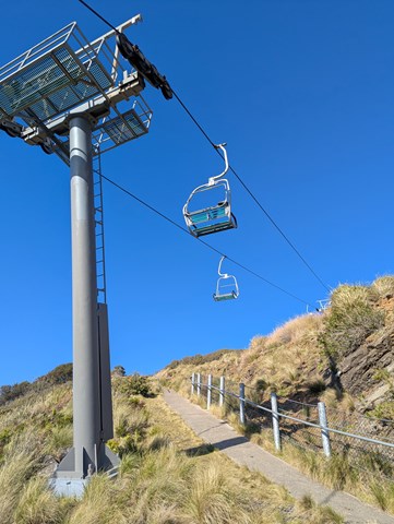
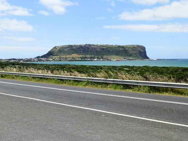
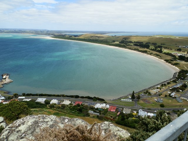
The Nut
The Nut is a 143 metre high massif, rising from Bass Strait, that towers above the picturesque town of Stanley. You can reach the top by either walking track or chairlift.
10-20 minute walk to plateau, or you can take the chairlift. 1 hour circuit track around the Nut plateau. (2.3 km one way)
 14.3
km
return
6.5
hrs
14.3
km
return
6.5
hrs
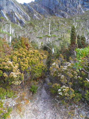
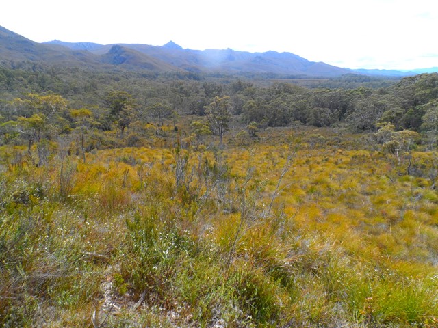
Lake Judd Track
This walk starts at the car park off Scots Peak Dam Road. It is a reasonably flat walk through a forest and then across a lot of button grass swamps, which is hard going, but the views across the swamps to Mount Anne make it enjoyable. The track itself is reasonably well marked with a few sections that require a bit of navigational skills. The final section is uphill to get to Judd Lake, but not too difficult. At the lake there is a fairly large flat area for camping next to the lake.
 53.2
km
return
6
days
53.2
km
return
6
days
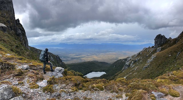
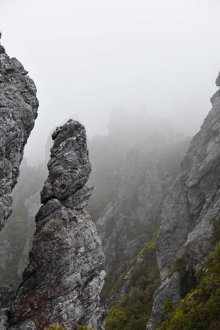
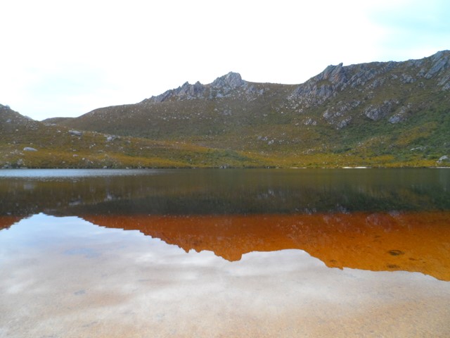
Western Arthur Ranges
Incredible Walk - Partial Traverse Length (exit via Kappa Moraine aka Moraine K)
 2.2
km
return
40
mins
2.2
km
return
40
mins
Donaghys Hill
40 minutes return, 2.2km
Grade 2: Suitable for most ages. The track has a hardened or compacted surface that may have a gentle hill section or sections and occasional steps.
Supervise children, unprotected track edges. No fires allowed—this is a Fuel Stove Only Area.
A valid parks pass is required for entry to Tasmania's national parks.
Located on the Lyell Highway (A10) between the Franklin and Collingwood rivers.
You’ll want to take your camera on this wonderful walk. Apart from being a great leg stretch for those driving the Lyell Highway between Derwent Bridge and Queenstown, this walk offers superb wilderness views.
The 1.1km one-way track climbs gradually through forest and scrub to a high lookout perched on rocky Donaghys Hill. From there, in clear weather, you can look down into the Franklin River valley and out to the impressive Frenchmans Cap and its neighbouring peaks. Return via the same track.
 28
km
return
2
days
28
km
return
2
days
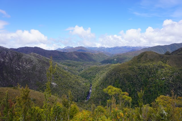
Lake Rhona (via Rasselas Track)
Lake Rhona is classified as a "hung lake" which is 900 meters above sea level and is the result of Ice Age Glaciers. This a hard 2 day 28km hike within the Wild Rivers National Park in the South West wilderness area of Tasmania. Situated in the midst of the Denison Ranges, the Lake’s beautiful pink/white quartzite sands surrounded by dominate ridges make it a truly unique Lake. The track follows flat button grass marshland for a majority of the way before a short hard climb of 400m to the final section below the Lake. This is your typical Tasmanian bush bashing walk. You will be muddy, scratched, bruised and weary at the end of each day. The track is exposed for most of the way.