
Menu

 2.7
km
return
2.7
km
return
 2
hrs
2
hrs
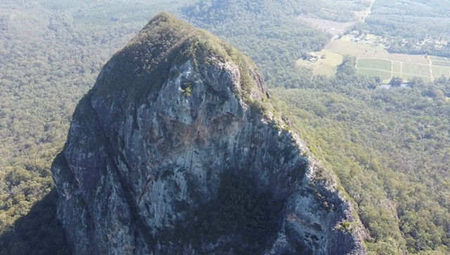
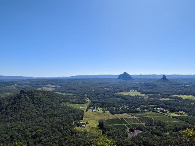
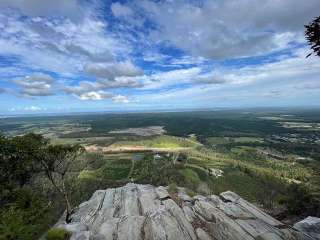
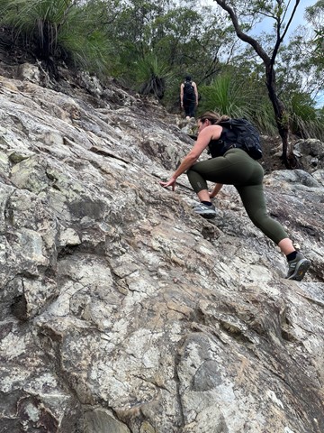
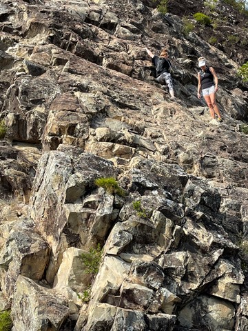
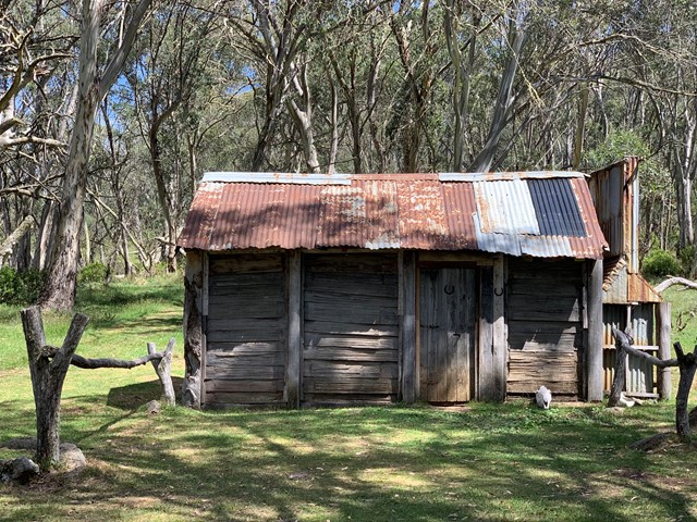
Mount Tibrogargan Summit
Almost a free climb instead of a hike.
It’s quite tricky to actually find it. Come off the Steve Irwin way at Matthew something park and drive around the back and through a tight railway tunnel then off to the right. You’ll pass some farming sheds on your right and the track to the car park is on your left.
According to Jinibara people’s lore and custom, Beerwah is the ancestral, pregnant mother. Tibrogargan is seen as the father with Ngungun, his faithful dingo, lying at his feet. The mountains around them are their children. Coonowrin is the eldest. The others are Beerburrum, Coochin, Elimbah, Tibberoowuccum, Miketeebumulgrai, Tunbubudla and, the youngest is currently known as Wild Horse Mountain.
Aboriginal people do not climb these mountains out of spiritual respect to Jinibara and Kabi Kabi peoples. They ask that visitors refrain from climbing them for the same reason.
 4.8
km
return
2.5
hrs
4.8
km
return
2.5
hrs
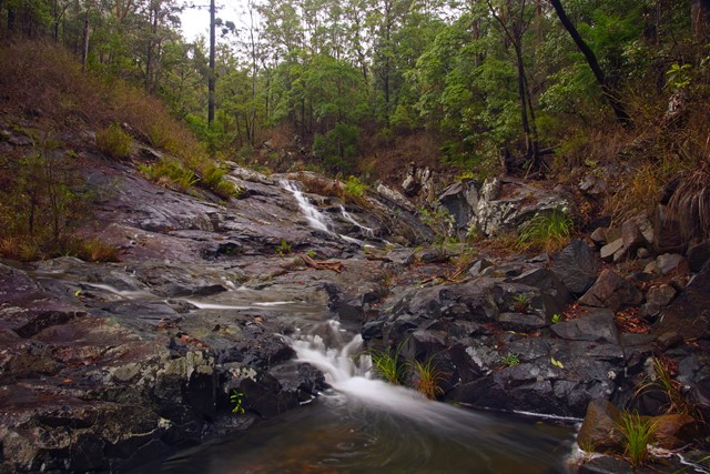
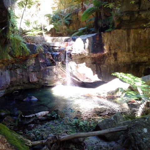
Buaraba Falls/Ravensbourne Falls
There are two decent sized waterfalls along Buaraba creek plus a pretty cascade.
 9.8
km
return
4
hrs
9.8
km
return
4
hrs
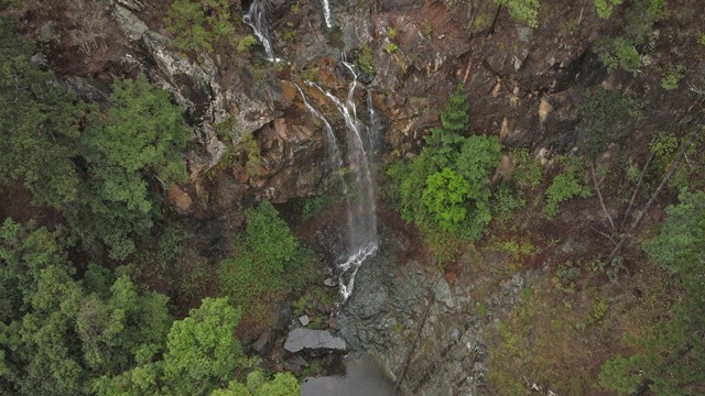
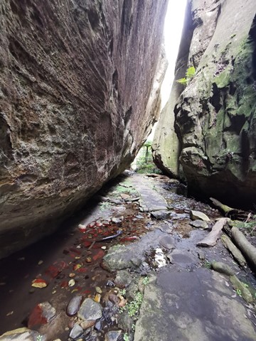
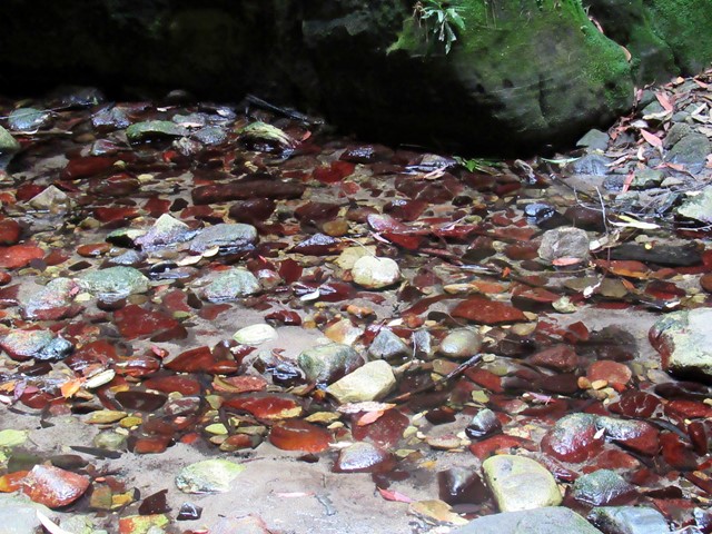
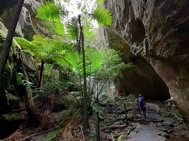
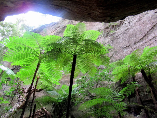
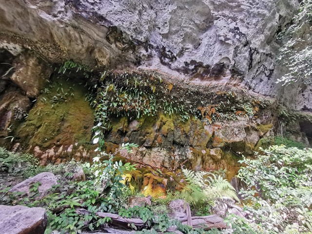
Wards Canyon
Ward's Canyon is a cool place to visit on a hot day. It is home to the world's largest fern; the King Fern Angiopteris evecta. These impressive green 'dinosaurs' have strong links with the ancient flora of Gondwanan origin. A short, steep rise up through spotted gums leads to the lower falls and then further into the shaded canyon.
 11.5
km
return
4
hrs
11.5
km
return
4
hrs
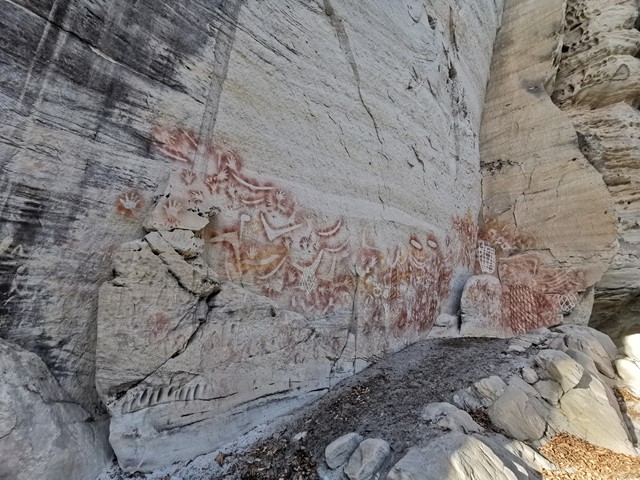
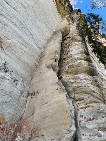
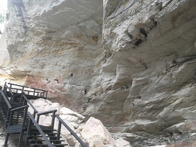
Art Gallery
Over two thousand engravings, ochre stencils and freehand paintings adorn the 62m-long sandstone walls of this significant Aboriginal site. The Art Gallery contains one of the best examples of stencil art in Australia.
 9.4
km
return
4
hrs
9.4
km
return
4
hrs
McDonalds Track
This historic track links Wright's Lookout to the Douglas Track, taking you from Kuranda down the Barron River Gorge. It provides views of the gorge from the southern side, seldom seen by the visitor unless they take the train down.
 7.5
km
return
3
hrs
7.5
km
return
3
hrs
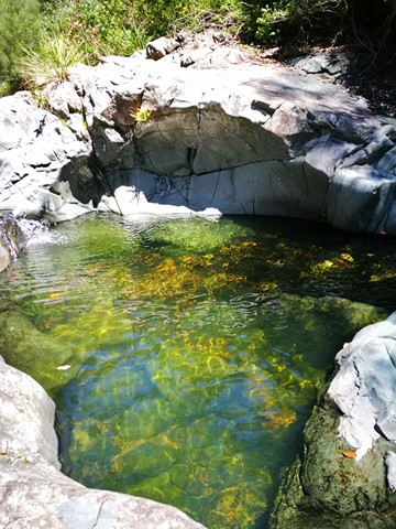
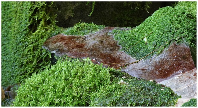
Moss Garden
Water drips constantly from the sandstone walls of the Moss Garden, supporting a lush carpet of mosses, ferns and liverworts. Beneath tree ferns straining for sunlight, a small waterfall tumbles over a rock ledge into an icy pool.
 500
m
return
15
mins
500
m
return
15
mins
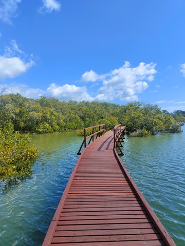
Phil Hill Environmental Park (Jabiru Island Walk)
Boardwalk trough mangroves along the Coomera river.
 4
km
return
45
mins
4
km
return
45
mins
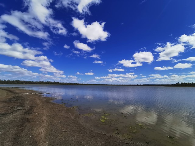
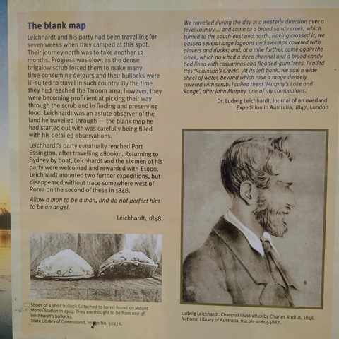
Lake Murphy Conservation Park
Nice easy stroll along the camping area , Robinson Creek and Lake Murphy
 1
km
return
30
mins
1
km
return
30
mins
Corroboree Rock Walk (East Macdonell Ranges)
Corroboree Rock is a dark grey column of dolomite an hour's drive east of Alice Springs.
It’s one of many sites in the MacDonnell Ranges that’s of great importance to the Eastern Arrernte people.
Take a short walk around the base of the rock to survey the area and have a closer look at the ancient sedimentary, fine-grained rock. At the base you can see dark grey and light grey streaky blobs of dolostone rock. A ring of low ground surrounding it makes it look like an obelisk.
The real significance of the rocky outcrop to the Eastern Arrernte people is not well known. Corroboree Rock was probably not a corroboree site due to the lack of water in the area, but was probably used as an important storage site for ceremonial objects.
The rock itself is an outcrop of dolomite from the Bitter Springs Formation originally laid down in salty lakes 800 million years ago.
Corroboree Rock Conservation Reserve is an easy stopover on your way to other East MacDonnell landmarks such as Trephina Gorge and Arltunga. The reserve is easily reached along the sealed road by two-wheel drive vehicles.
 1
km
return
30
mins
1
km
return
30
mins
Takarakka Lookout
A great opportunity to climb to the lookout with views over to the entrance to Carnarvon Gorge some 4km away. Great place for a evening drink while watching the sun set in the distance. Don't be surprised to meet a few of the 'locals' on your way.
 18
km
9
hrs
18
km
9
hrs
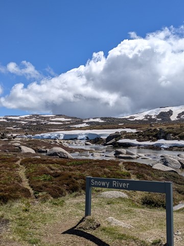
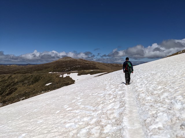
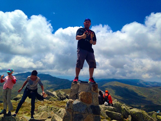
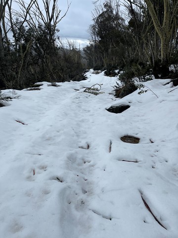
Kosciuszko Summit (Winter)
Start at Charlottes Pass carpark and cross the Snowy River and then onto Seaman's Hut. Follow the road markers the entire way to Rawson's Pass. Depending on snow depth Ski or snow shoe walk around to Rawson's Pass where Australia's highest toilet is and usually covered in snow. Scale the summit of Kosciuszko in a straight line from this point on watching out for icy conditions on the ascent. Summit carn is normally identifiable in good weather. Return by the same path. An Alternate route is to scale Etheridge Ridge avoiding deep snow drift near Rawson's Pass which can be up to 2-3 metres in depth in section. Utilise Seaman's Hut as the half way point to rest, warm up and have a break. Always check weather conditions before attempting.
 44.7
km
3
days
44.7
km
3
days
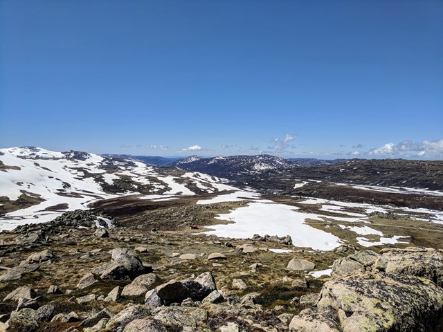
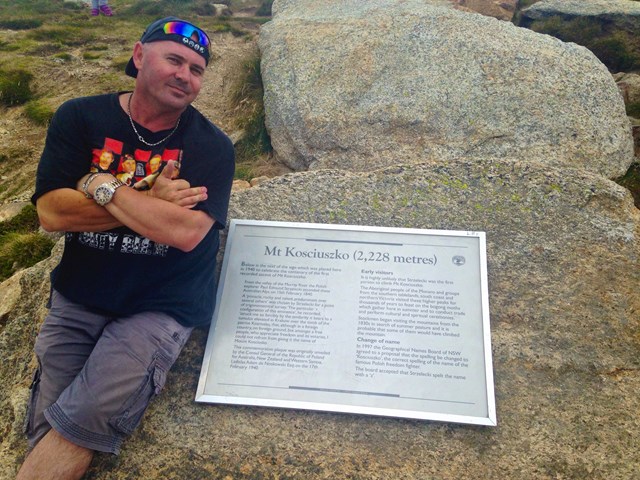
The Aussie 10
A walk through the Aussie alps summiting the 10 highest peaks in Australia.
Mount Kosciuszko 2228
Mount Townsend 2209
Mount Twynam 2195
Rams Head 2190
Unnamed peak on Etheridge Ridge 2180
Rams Head North 2177
Alice Rawson Peak 2160
Abbott Peak 2145
Carruthers Peak 2145
Mt Northcote 2131
 2
km
return
1
hr
2
km
return
1
hr
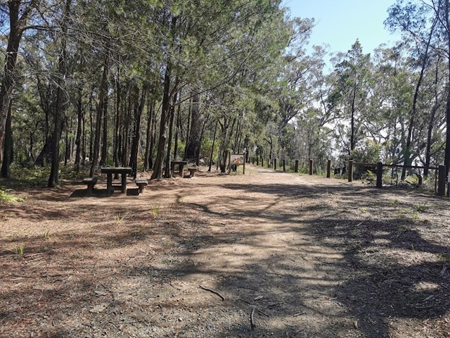
Post Office Track
Short walk between the Booroomba picnic area and the post office at Mount Nebo. A short walk with some fairly interesting features with some few steps up and down. Walk a little further and grab a coffee at the cafe.
20
km
return
6.5
hrs
Cascade Hut Trail - Thredbo
Cascade Hut trail is a popular mountain biking and walking trail that takes you to a historic alpine hut. In winter, strap on cross-country skis or snowshoes to enjoy this trail near Thredbo.
 9.3
km
return
4
hrs
9.3
km
return
4
hrs
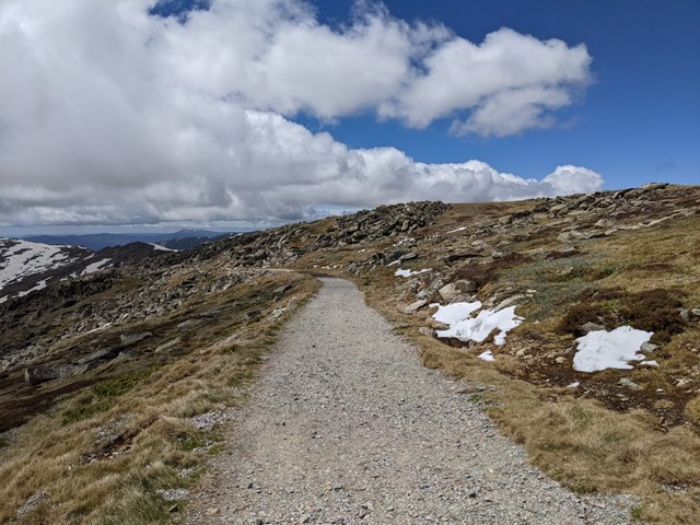
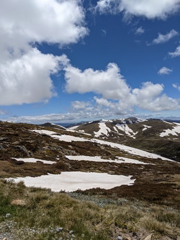
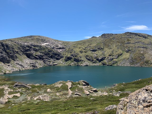
Main Range Track - Charlottes Pass to Blue Lake
This walk starts from the end of Kosciuszko Road, at Charlotte Pass, and follows the signposted Main Range Track to the Blue Lake lookout. The walk crosses the famous Snowy River along the way. The Blue Lake lookout is located a short walk down sidetrack and provides stunning views of the lake. There are a series of information signs that provide information on how this lake and other features in the area where formed.
 11
km
one-way
3
hrs
11
km
one-way
3
hrs
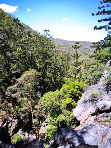
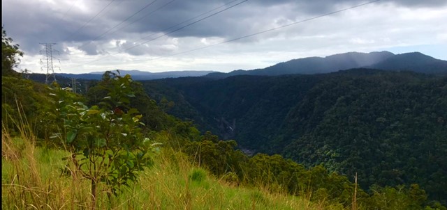
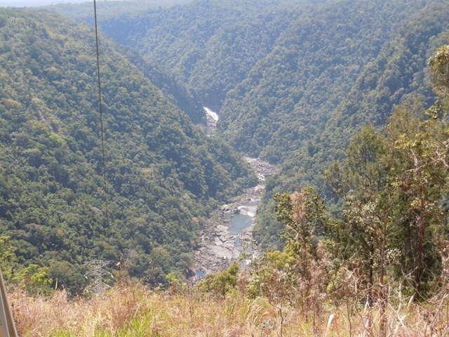
Northbrook Gorge via eagle's nest
From Northbrook rd approx 2.5km west of the Mt Glorious township walk south on a forrestry track for 5kms before desending west on a singlebrack to Eagles nest and then descending down to the creek. head down stream bore passing through the gorge. go a further 2kms along the creek before ascending back to the road
1.3
km
return
30
mins
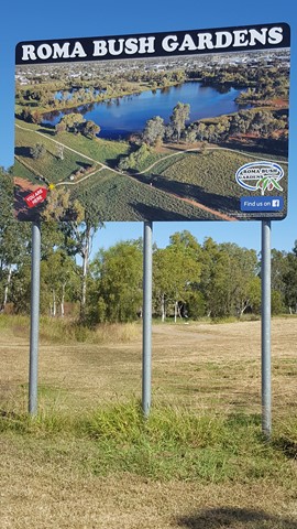
Roma Bush Gardens
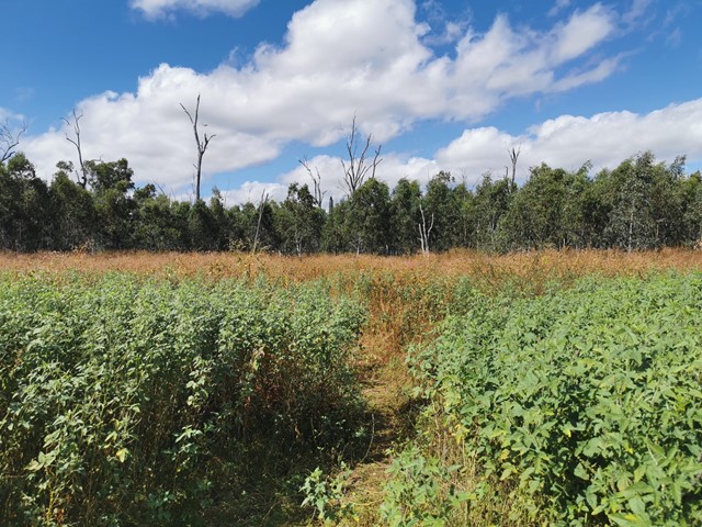
Encompassing the picturesque Railway Dam, this leisurely walk is a must for enthusiast of the Australian bush. The 14 hectare gardens showcase eleven vegetation communities local to the Roma region, including Brigalow, Coolibah and Mulga. The walk offers a great variety of different vistas of the dam, which is also regarded as a first-rate place for bird-watching. Read about the native plants through the interpretive panels as you navigate the loop.
 100
m
return
10
mins
100
m
return
10
mins
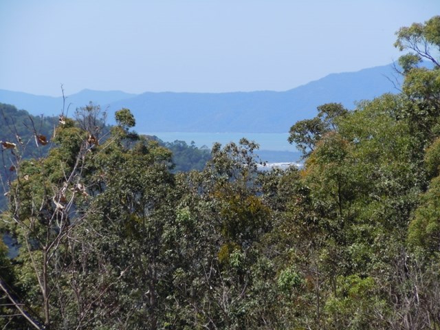
The Lookout Walk
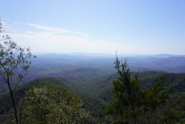
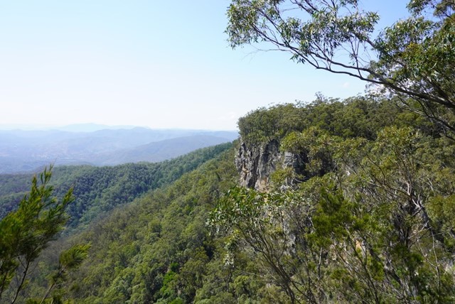
Suitable for wheelchairs—this track has a natural hard dirt surface, a gentle incline, and single roadway width. Spectacular views from the eastern escarpment looking over the Boyne Valley—look for ribbons of dark green rainforest among the paler eucalyptus woodlands in the valley below.
 700
m
30
mins
700
m
30
mins
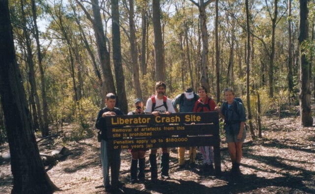
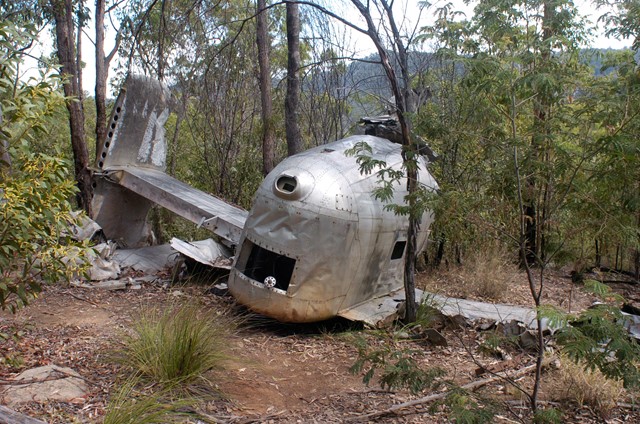
Beautiful Betsy Bomber Crash Site
700m return trip which leads to a crashed 1945 bomber that was not discovered for 49 years after crashing, killing all occupants. Interpretive signage has been erected by Qld NP. Please respect the site, it is the last resting place of many Australian and American Airmen.