
Menu

 4.6
km
return
4.6
km
return
 3
hrs
3
hrs
Goat House Cave
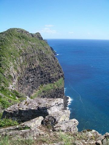
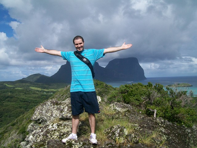
A steep climb through wet rainforest till you reach the cliffs of Mt Lidgbird at 400m and to your left is the large volcanic cliff overhang know as Goat House Cave, with its spectacular views of the settlement on the one side and Ball's Pyramid on the other.
 12.3
km
return
8
hrs
12.3
km
return
8
hrs
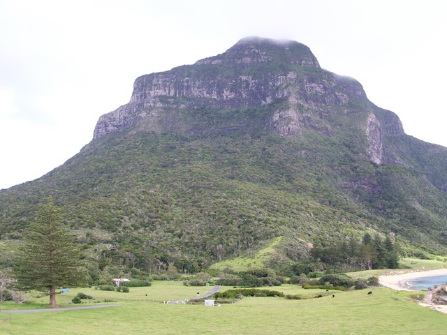
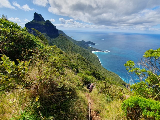
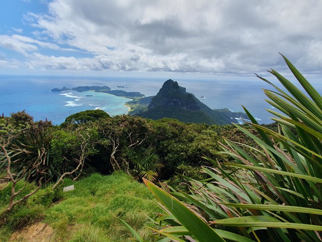
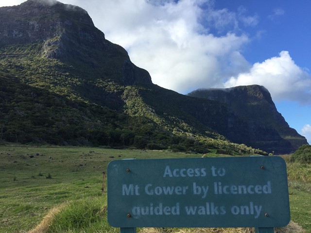
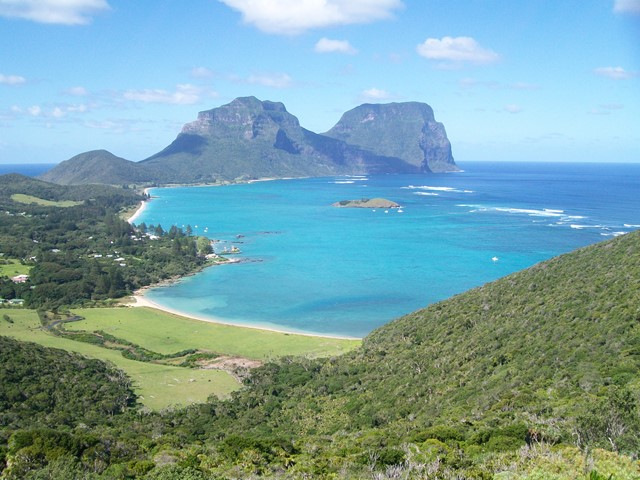
Mt Gower
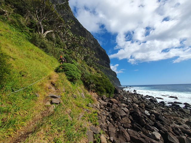
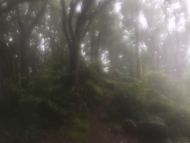
Not for the faint hearted, this 875m very special guided climb to the top of Mt Gower and the 'cloud forest' is the highest easily accessible rainforest in the world.
Mt Gower is rated one of Australia’s best day walks and the hike is a challenging eight hour return trek, complete with rope-assisted climbs and dizzying drops.
Walkers traverse over 12km across the mountain’s rugged terrain, encountering some of the island’s rarest plants and wildlife along the way.
Standing atop Gower’s iconic peak, amongst its misty forest, walkers experience breathtaking 360° views of the island and its crystal blue waters.
 3.8
km
return
3
hrs
3.8
km
return
3
hrs
Malabar Hill Circuit
Old Settlement Beach, Max Nicholls Track, Kim's Lookout, Malabar Hill and the Catalina plane wreckage all in one hit. With its fantastic view down the island to Mt Gower and the towering cliff edge and bird life on the other, this has got to be everyone's favourite walk. You even have the option to drop down to Ned's Beach on the way back for a swim and to hand feed the kingfish.
 3
km
return
1
hr
3
km
return
1
hr
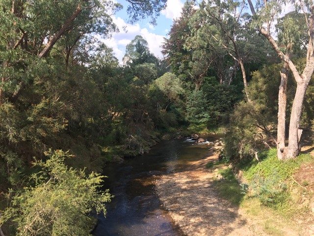
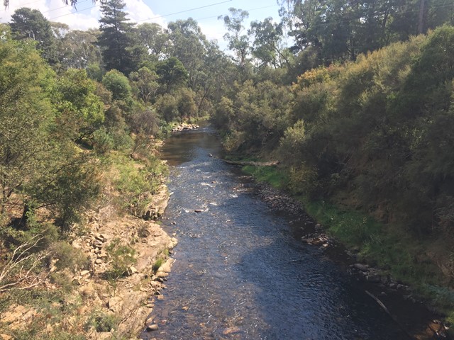
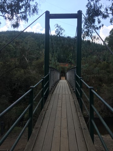
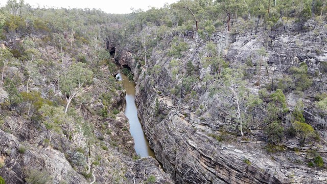
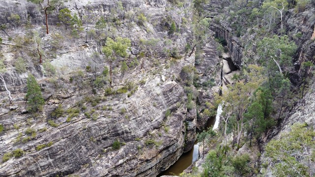
Ovens River Canyon Walk
A short loop walk along the Ovens River from the centre of Bright showcasing the Ovens river canyon and suspension bridges and evidence of mining.
 35
km
return
8.5
hrs
35
km
return
8.5
hrs
Mount Mee Section
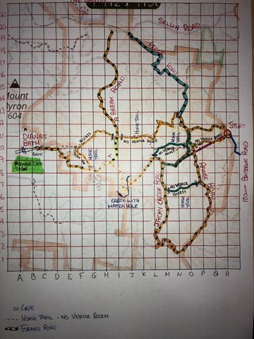
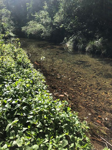
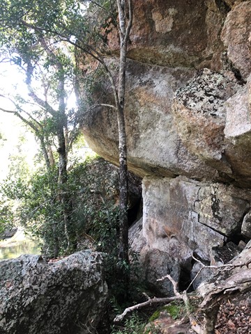
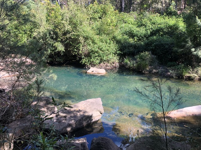
Excellent training walks for events like Gold Coast Kokoda. Some sections in particular the horse trails can be quite steep and long. There are flatter options if you stick to Range Road etc. Mobile service is scratchy. Can share GPS map of my walks.
 5.2
km
return
90
mins
5.2
km
return
90
mins
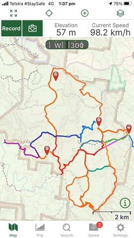
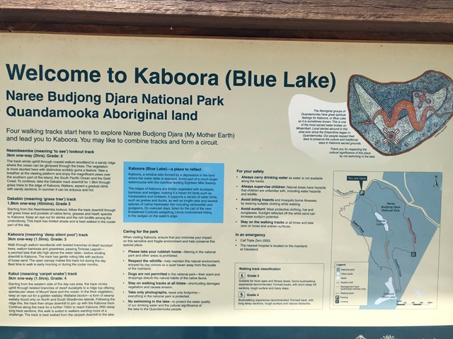
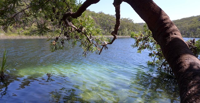
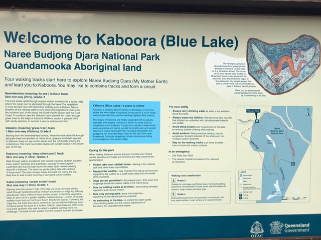
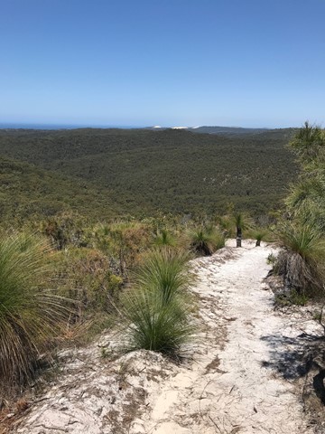
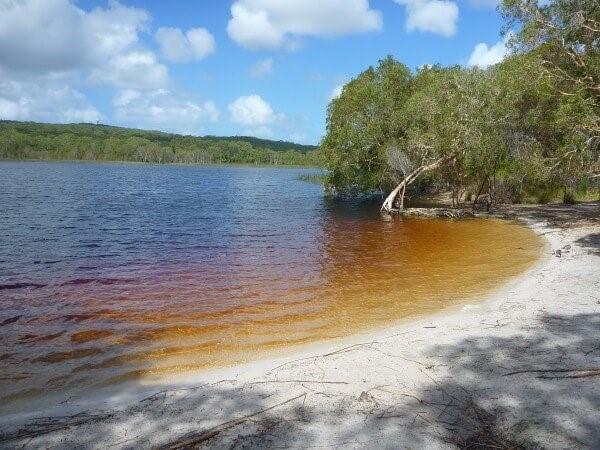
Blue Lake (Kaboora Track)
Walk through banksias, grasstrees and eucalypt on your way to Kaboora/Blue Lake. Pass Tortoise Lagoon on the way to this jewel of the island.
 8.4
km
return
2.5
hrs
8.4
km
return
2.5
hrs
Dunwich to Brown Lake
A walk from the Dunwich to the Brown Lake that mostly follows the road.
 2.5
km
return
45
mins
2.5
km
return
45
mins
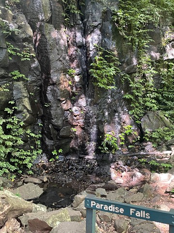
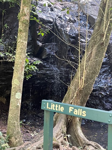
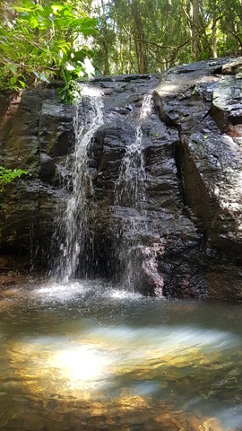
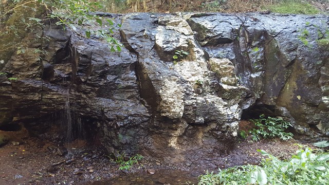
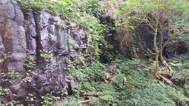
Paradise and Little Falls
A chance to get a feel for the eastern side of Bunya Mountains with a short walk down to the two falls of Paradise and Little Falls.
 4.8
km
return
75
mins
4.8
km
return
75
mins
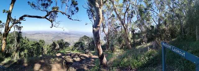
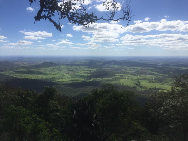
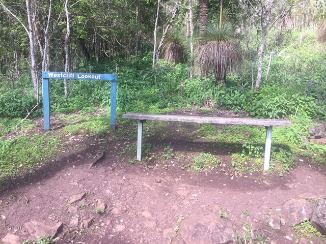
Westcliff Lookout
This track follows part of the cliff-line on the mountain's western side with Westcliff lookout providing clear views over the open plains of the Darling Downs. Soon after leaving the Paradise car park, the track passes through Little Pocket, one of the small natural clearings or 'balds' scattered over the Bunya Mountains.
 2
km
return
1
hr
2
km
return
1
hr
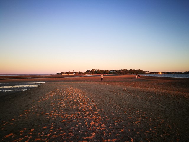
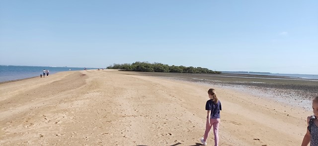
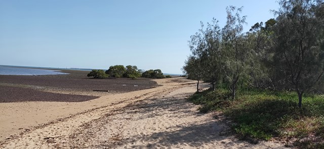
King Island
A 2km return walk from Wellington Point along the sand spit at low tide, good for all , kids can play in water, get some sand between your toes, take your dog during the week, enjoy the water and unique views out over the bay.
 18.2
km
return
8
hrs
18.2
km
return
8
hrs
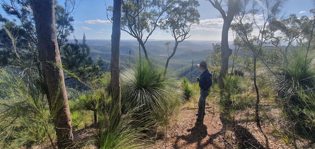
Mt Hobwee Circuit
A moderate difficulty walk in Lamington National Park from Binna Burra to Mt Hobwee summit with a length of 18.2 km return. After leaving the Border Track 5.4km from Binna Burra, this circuit winds through rainforest to the summit of Mount Hobwee (1180m). The circuit rejoins the Border Track for the return to the Binna Burra car park.
 800
m
30
mins
800
m
30
mins
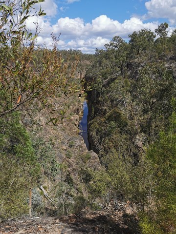
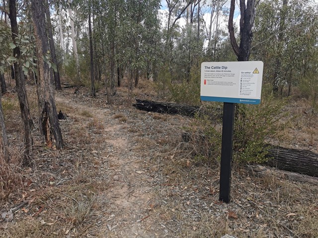
Cattle Dip Track
An easy walk through open woodland to look out over the "cattle dip" - a spectacular permanent, aptly named water hole in Robinson Gorge. No access from the lookout to the water hole without climbing gear.
 5.3
km
return
1
hr
5.3
km
return
1
hr
Litchfield Track
This track is 2.5km one way and is graded as moderate by Brisbane City Council and is well maintained but can have lose stones. The track winds through bushland parallel with the road and is easy to traverse. You will see a variety of Australian native plants and birds. A variety of people, at different stages of trail walking ability, use this track including trail runners.
 9.6
km
return
3
hrs
9.6
km
return
3
hrs
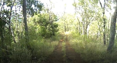
Imbil Brooloo Rail Trail
Opened in July 2019, this rail corridor has thankfully been restored to provide a beautiful track for walkers, cyclist and horse riders. A highlight is its passage through Bell Bird Park, where a colony of more than 120 Bell Birds provide a continual chorus for visitors.
 7.2
km
return
2
hrs
7.2
km
return
2
hrs
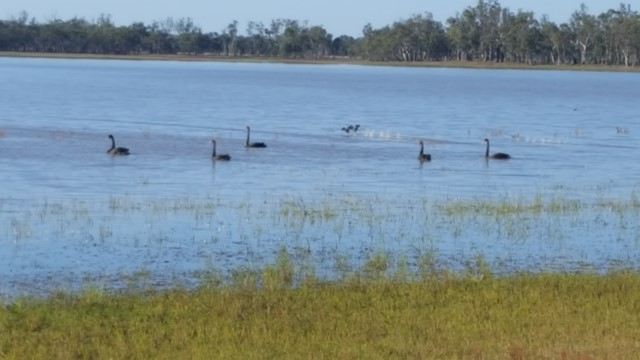
Lake Broadwater The Hide
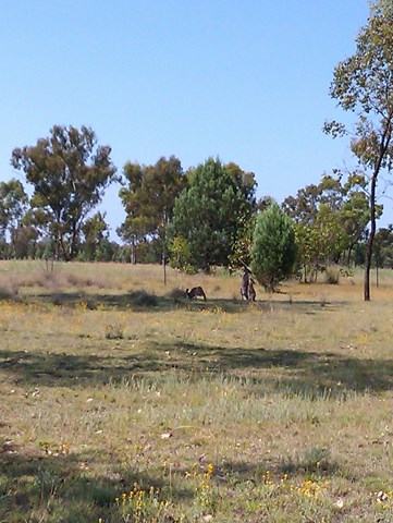
This track along the lake's shore joins the two camping areas and down to the Hide. It passes the remains of a dingo fence built in the 1860s for St Ruth Station and promises you an abundance of bird and waterbird life.
 4.4
km
return
90
mins
4.4
km
return
90
mins
Lake Broadwater
This track joins the two campgrounds. It starts just west of the campground and the lake and make its way around the lake before heading towards Wilga Bush Camp. There are lots of birds in the area. The track is mostly sandy but easy to follow. It passes the old dingo fence. There is also a lot of signage identifying trees.
 5
km
return
1
hr
5
km
return
1
hr
Mount Mia
Located in Wrattens State Forest . Nice quite hike as none venture out here often I say.
 10
km
return
2
hrs
10
km
return
2
hrs
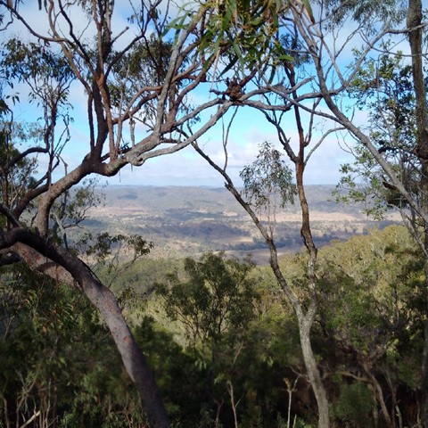
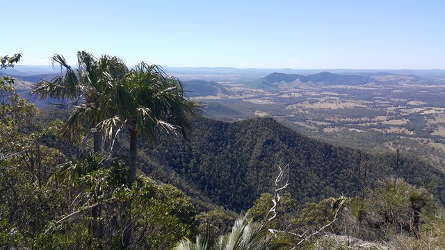
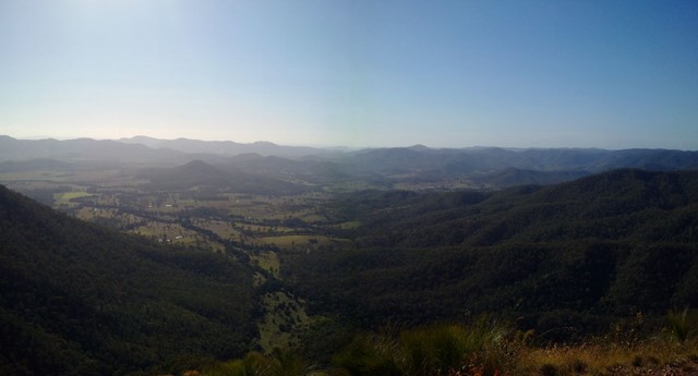
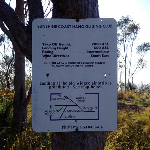
Mt Widgee
Nice relatively easy ,if you're fit ;-) , up to Mt Widgee to enjoy awesome views across Wratten Forrest.
 4
km
return
90
mins
4
km
return
90
mins
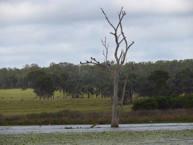
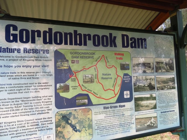
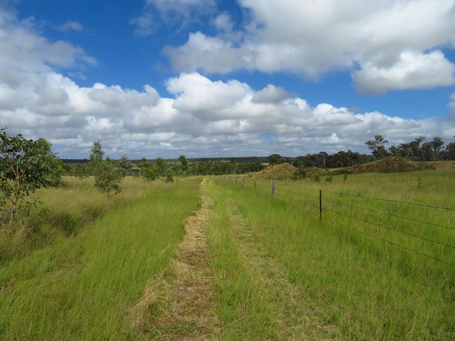
Gordonbrook Dam
Gordonbrook Dam is the sole water supply for Kingaroy and a peaceful spot to unwind. Take in the beautiful dam views from the viewing platform or a variety of walking tracks along the waters edge.
 5.3
km
return
2
hrs
5.3
km
return
2
hrs
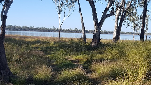
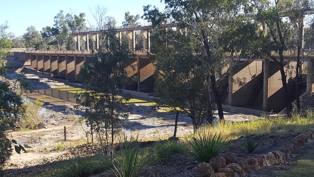
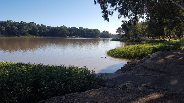
Riverbank Walkway
Car weary legs will appreciate this stretch of shady riverbank walkway flanking the town. A star feature, the Riverbank Walkway includes the Jack Taylor Weir and Andrew Nixon Bridge at the far end, with its commemorative stone to mark Sir Thomas Mitchell’s crossing of the Balonne River on St George’s Day back in 1846. Along the riverbank walkway, markers showcases the flood heights and history of the swollen Balonne River from years gone by.