
Malabar Hill Circuit
Lord Howe Island


Menu
GPS Tracks
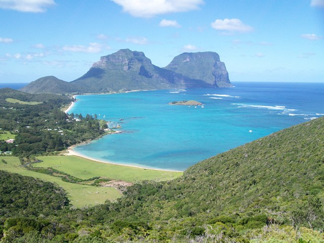
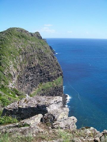
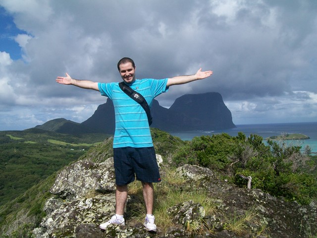

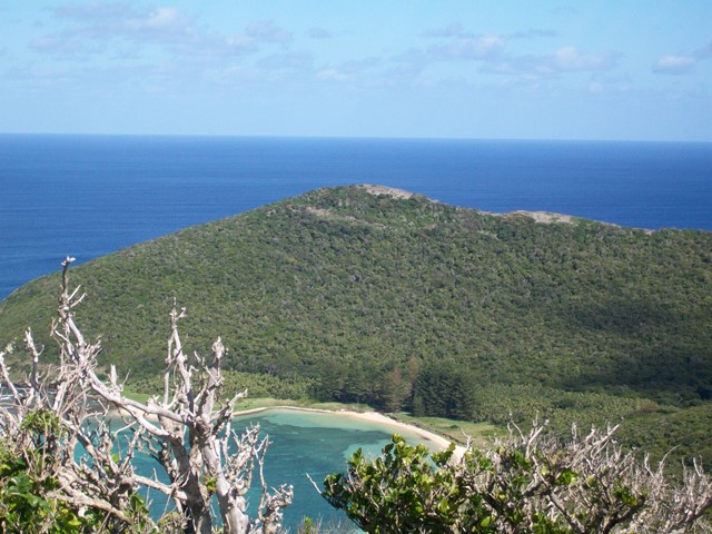
Old Settlement Beach, Max Nicholls Track, Kim's Lookout, Malabar Hill and the Catalina plane wreckage all in one hit. With its fantastic view down the island to Mt Gower and the towering cliff edge and bird life on the other, this has got to be everyone's favourite walk. You even have the option to drop down to Ned's Beach on the way back for a swim and to hand feed the kingfish.


Getting there:
First you have to get to Lord Howe Island! Direct flights are available from Sydney (most days) or Brisbane (weekends) and your accommodation on the island must be pre-booked, as only 400 visitors at any one time can be accommodated. You will need a week to fully enjoy what this wonderful paradise island has to offer. Or you could arrive by boat!
From then on, everything is by bike (or walk), which you hire from your accommodation.
From your accommodation head north on Lagoon Road, past the jetty to the end of the road where there is a small parking area to leave your bike.
Maps:
Lord Howe Island Walking Tracks
Island maps are available from your accommodation or the Information Centre/Museum on Middle Beach Road.
Route/Trail notes:
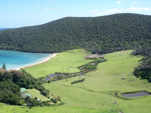
From the parking area, head out on the Max Nicholls Memorial Track that crosses the creek bridge before following the dunes at the top of Old Settlement Beach. From the end of the beach, the track starts to climb quite sharply, with its many steps. After 600m, take the right hand Kim's Lookout Track, with further steps to the top of the cliffs and Kim's Lookout.
From here, the track winds its way along the cliff edge to Malabar Hill, before turning right back towards the settlement till you reach a style into the fields. You now have three options:
1) Take Malabar Track on the left down to Ned's Beach for a swim and feed the fish; then return into town on Ned's Beach Road, turning right back along Lagoon Road to the start.
2) Take the track straight on down into town and right along Lagoon Road to the start.
3) Turn right along the top of the fields to the remnants of the Catalina Flying Boat crash site and then left down the field to the walk's start.
Many people prefer to do this walk anti-clockwise, to avoid the stepped steep climb up.
Permits/Costs:
None.
Other References/Comments:
Take a picnic, your binoculars, swimmers and a towel, as on this island, you are never too far from a beach to cool off on after your walk. Oh, and always have some bread to hand feed the fish.
Track notes for Kim's Lookout Circuit (same walk, different name!)
 9 Malabar Hill Circuit (GPX)
 3.8
3.8 3
3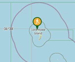
Comments