
Mutton Bird Point and Boat Harbour
Lord Howe Island


Menu
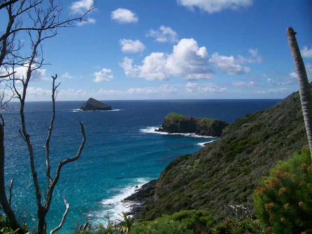
This track follows the beautiful coast line to Mutton Bird Point; a birdwatchers heaven, with its Masked Boobies, Sooty Terns, Common Nobbies and Wedgetailed Shearwaters (nesting in summer). From there you pass through Curly Palms, Blackbutts, Greybarks and Hopwoods to Rocky Run Creek and then wet rainforest to Boat Harbour beach.


Getting there:
First you have to get to Lord Howe Island! Direct flights are available from Sydney (most days) or Brisbane (weekends) and your accommodation on the island must be pre-booked, as only 400 visitors at any one time can be accommodated. You will need a week to fully enjoy what this wonderful paradise island has to offer. Or you could arrive by boat!
From then on, everything is by bike (or walk), which you hire from your accommodation.
From your accommodation head out towards the airport on Lagoon Road and at the end of the airstrip, you will see a style and faint track across the field to the tree line. This track will join up with the 'official' track, which starts a little further along the road directly opposite the terminal entrance road (signposted).
Maps:
Lord Howe Island Walking Tracks
Island maps are available from your accommodation or the Information Centre/Museum on Middle Beach Road.
Route/Trail notes:
From the style, cross the field (avoiding the cattle) till you see an entrance along the tree line. From here, the rugged track follows the cliff line, merges with the 'official' track and takes you to the viewing platform at Mutton Bird Point, with Mutton Bird Island just off shore.
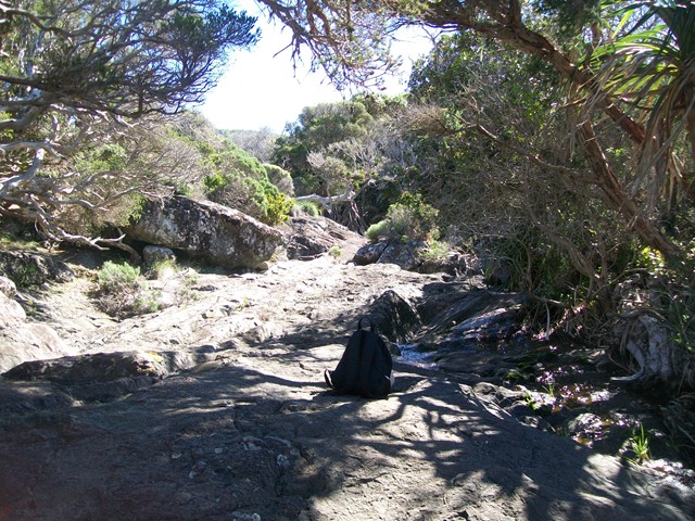
From here, the path continues through the wet rainforest to Rocky Run Creek, with the option to follow the track to its right down to the sea and back. The track then merges with Smoking Tree Ridge coming in from the right. Carry straight on along the track that meanders its way down to Boat Harbour beach. Half way point and time for a picnic.
Return the way you came, or more interestingly, take the Smoking Tree Ridge track to your left and at the saddle, turn right onto Intermediate Hill steep track, which returns you to Lagoon Road about 400m south of where you started.
Permits/Costs:
None.
Other References/Comments:
Boat Harbour consists of a beach of rounded volcanic boulders and worn coral and was used by the first visitors to the island as is was well protected from southerly winds and swell and had an ample supply of fresh water from the shallow pools along the small streams.
Take a picnic, your binoculars, swimmers and towel, as on this island, you are never too far from a beach to cool off on after your walk. Oh, and always have some bread to hand feed the fish.
GPS Tracks
- No GPS available for this walk yet.
 7.1
7.1 3
3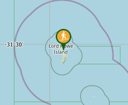
Comments