
Menu

 1
km
return
1
km
return
 30
mins
30
mins
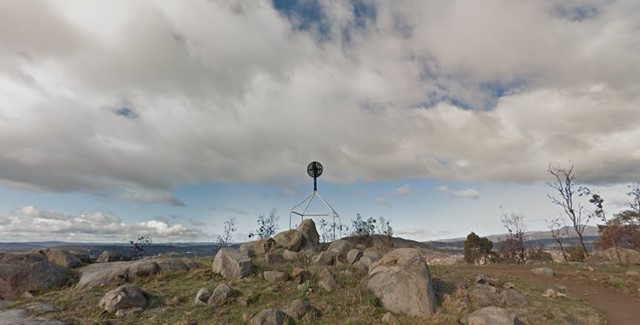
Mount Arawang
Mount Arawang Summit Walk is part of the Cooleman Ridge Nature Reserve and is a park of the mountains, hills and Ridges surrounding Canberra.
 14
km
return
4
hrs
14
km
return
4
hrs
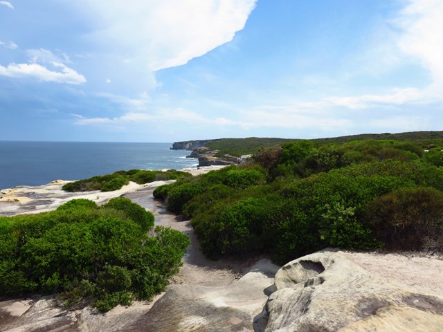
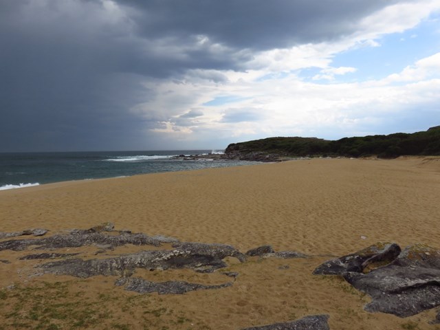
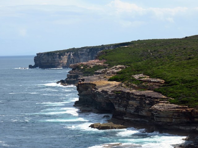
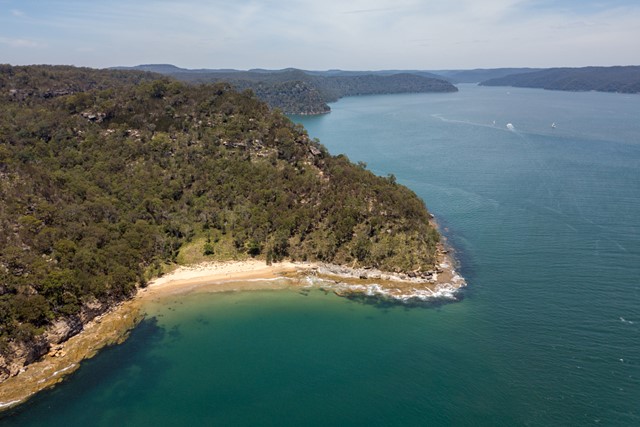
Bundeena to Little Marley Beach
Exploring the coastline of the Royal National Park, this walk has fantastic views and a great place to wet the toes at Little Marley Beach. Bundeena is a great place to start the walk, with places to grab a bite to eat. You can also catch the ferry from Cronulla to Bundeena, an excellent way to start a day of walking. With this walk, prepare to be astounded by great views of the ocean and cliffs.
 1
km
return
1
hr
1
km
return
1
hr
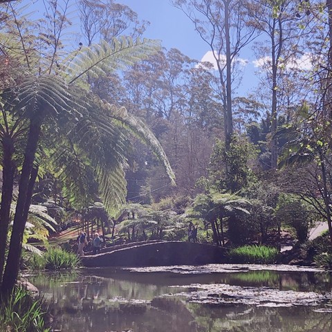
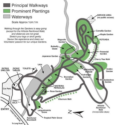
Tamborine Mountain Botanic Gardens
Perfect with children. Easy walk, beautiful environment. Network of sealed pathways. Lots of benches to sit and enjoy.
 3.7
km
return
90
mins
3.7
km
return
90
mins
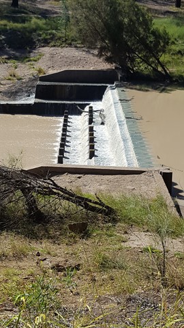
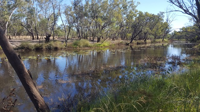
Surat Riverwalk
There is a park on the banks of the Balonne River which is a pleasant spot for a picnic. It is part of a walk along the Balonne River which includes footbridges, viewing platforms, Memorial Garden and a weir. There is an Aboriginal interpretative shelter which tells the story of local Aboriginal families and with any river bank environment out west, it is home to some impressive birdlife.
 1.3
km
return
45
mins
1.3
km
return
45
mins
Ladies Bath and Eurobin Falls
At Ladies Bath Falls, water cascades into a perfectly clear pool of water, while at Upper and Lower Eurobin Falls, Crystal Creek spills spectacularly over a formidable granite escarpment. With only a short walk to see all three. In the early 20th century, travellers would stop here to cool off on their way to the Mount Buffalo chalet. The men and women would separate and Ladies Bath is where the women would come to dip their toes in the refreshing waters of Crystal Brook.
 7
km
return
5
hrs
7
km
return
5
hrs
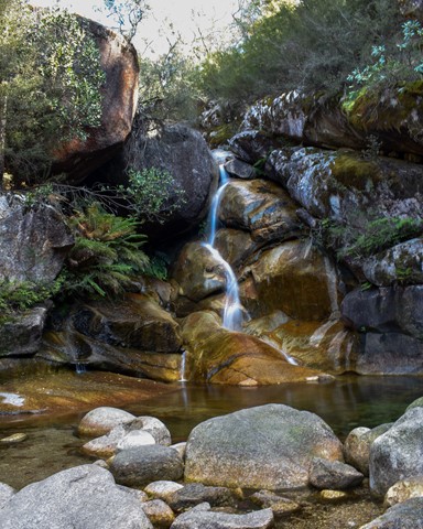
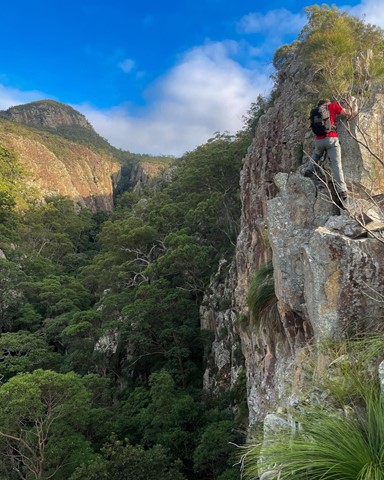
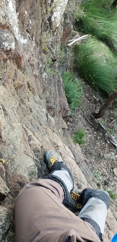
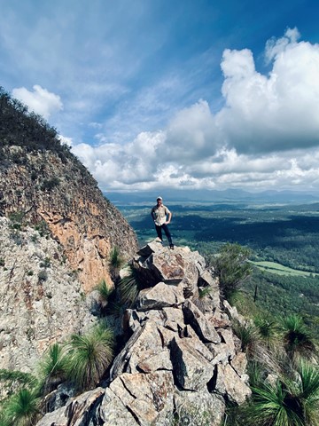
Mt Greville via Razor back ridge, waterfall Gorge, Bare rock, the ladder, the peak
Starting from the car park assend to the folk and then drop across waterfall gorge and assend the northern wall and traverse along a narrow ridge before descending a gully back down into waterfall gorge and assend back up to Bare rock and the down into the northern gorge before taking the 2nd gully back up to a viewing rock and a bolted ladder before the last assend to the peak and desend south east ridge
 5.5
km
return
2.5
hrs
5.5
km
return
2.5
hrs
Mt Greville waterfall gorge, Northern face
Starting from the car park ascend to the viewing rock and then head along the faint track towards south east ridge. Once at the cliff line peel of to the right and traverse along until you get to the first gully entrance seen from the viewing rock once there rock scramble up the north western ridge line to the summit. Beware there is a degree of exposure here and no marked route. The bare rock is cliff like and the gullies are extremely unstable beware of shifting rocks. Descend down south east ridge.
 11.5
km
one-way
3
hrs
11.5
km
one-way
3
hrs
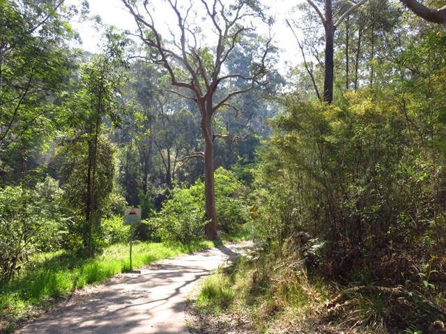
Macquarie Park to Thornleigh (GNW)
Starting from the Macquarie Park train station, you wander down Lane Cove Rd and over De Burghs Bridge to join the main spine of the Great North Walk in the Lane Cove Valley. Here the walk heads under De Burghs bridge then explores the dry grass tree and eucalypt forest along the side of the ridge. The track soon leads you down into the ferny and moist valley beside Lane Cove River. Near the top of the valley, you walk up some stone steps built during the depression to find some rock engravings with 1930's style political satire, Conscript Pass. The side trip provides access to the scout campsite, where the main walk continues leads up through the streets to find Thornleigh train station.
 6
km
one-way
2.5
hrs
6
km
one-way
2.5
hrs
De Burghs Bridge to Fullers Bridge
This walk follows the Lane Cove River northside, this walk mostly follows a section of the Great North Walk. Things to lookout for include Fiddens Wharf, Baker's Cottage, Blue Hole and Sandstone Caves.
5
km
one-way
90
mins
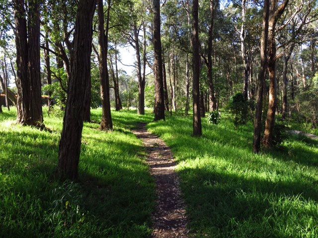
Riverside Walking Track
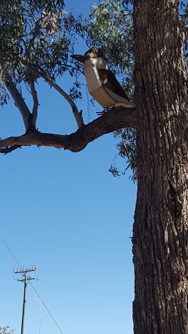
Walking through the bush with the chatter of birds and sweet smell of eucalypts, it was amazing to think we were only a half hour train ride from the CBD.
The delightful Riverside walking track meanders through natural bushland and a string of picturesque picnic areas in Lane Cove National Park, just north of Sydney CBD. Enjoy a weekend getaway without leaving town and introduce the kids to the simple pleasures of birdwatching and wildlife-spotting.
Following the southern bank of Lane Cove River, from the weir near Delhi Road to Deburghs Bridge, the scenic walk takes in peaceful bush settings where you can stop and enjoy tranquil river views. When it’s time for a lunch break, unroll the picnic blanket at Commandment Rock picnic area.
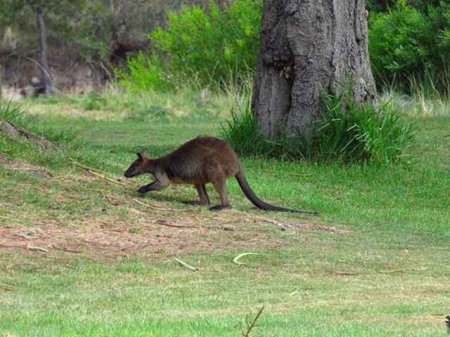
Along the track you might see lorikeets and kookaburras as well as egrets and spoonbills, so be sure to bring along some binoculars for a spot of birdwatching with the kids. Keep an eye out for swamp wallabies and brush turkeys darting through the bush. If you’re keen for a challenge, return via the northern riverbank along Great North walk.
 5.5
km
return
90
mins
5.5
km
return
90
mins
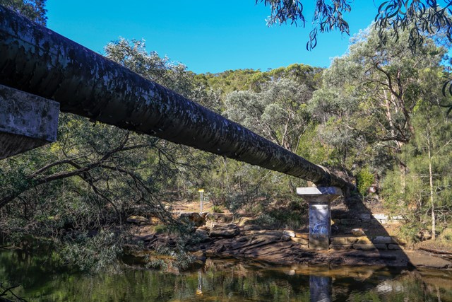
Pipeline Track
A short circular hike in Sydney’s north shore, suitable for hiking, jogging or mountain-biking. Follows a large water pipe down to Middle Harbour Creek... hence the name of the track.
 3.5
km
return
1
hr
3.5
km
return
1
hr
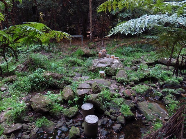
Cascades Track
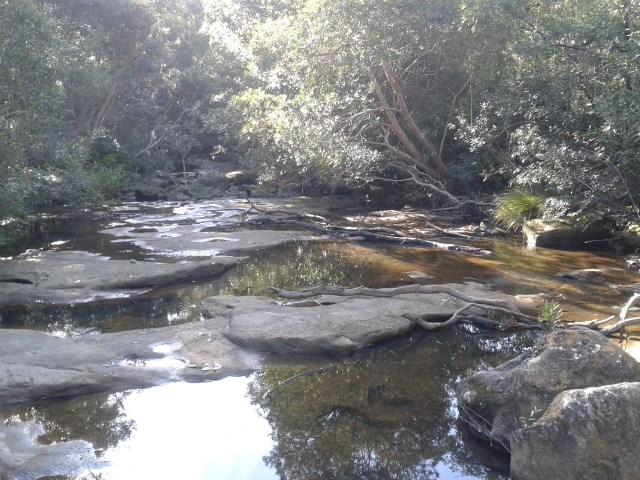
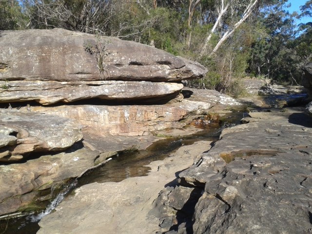
This walk explores part of the northern section of Garigal National Park and the upper reaches of Middle Harbour Creek. The walk follows a service trail from Douglas Street, St Ives, to cross Middle Harbour Creek, then explores a large rock platform with the Cascades. The cascades themselves are not huge, but the rock platform, rock pools, and the cascades combine to form a great place to explore and have a snack before the return journey
 4.3
km
return
90
mins
4.3
km
return
90
mins
Mueller Track
The longest trails in the St Ives Wildflower Garden, a relatively “undiscovered” park in Sydney’s north. An easy walk with some variety of terrain.
 5.4
km
return
3
hrs
5.4
km
return
3
hrs
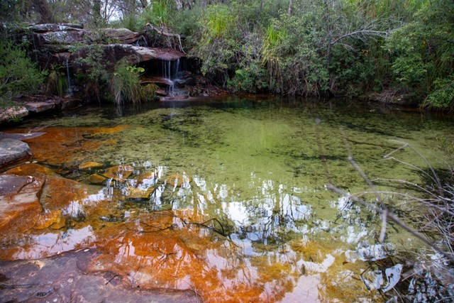
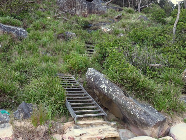
Elvina Bay Loop
The Elvina Bay circuit is a short but very diverse loop trail at West Head, with a secluded swimming hole, multiple cascades and waterfalls and nice Pittwater views. You can opt for a hard and partly off-track circuit, or an easier on-track loop...
 1.3
km
return
45
mins
1.3
km
return
45
mins
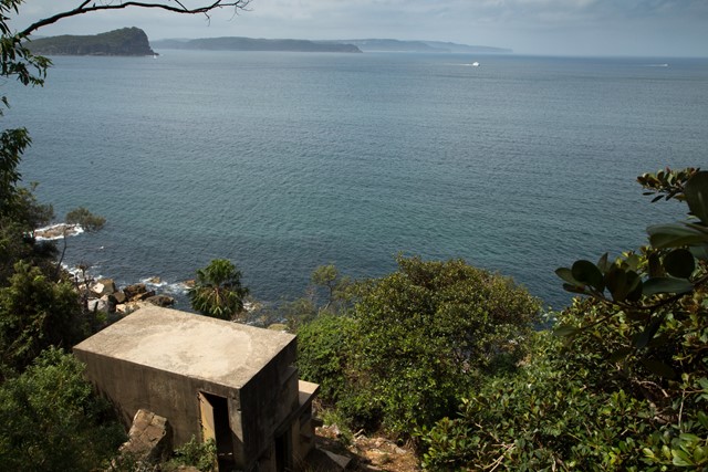
West Head Army Track
A steep but short walk down from West Head in Ku-ring-gai Chase National Park to a historic World War II gun embankments on the coast.
 4
km
return
105
mins
4
km
return
105
mins
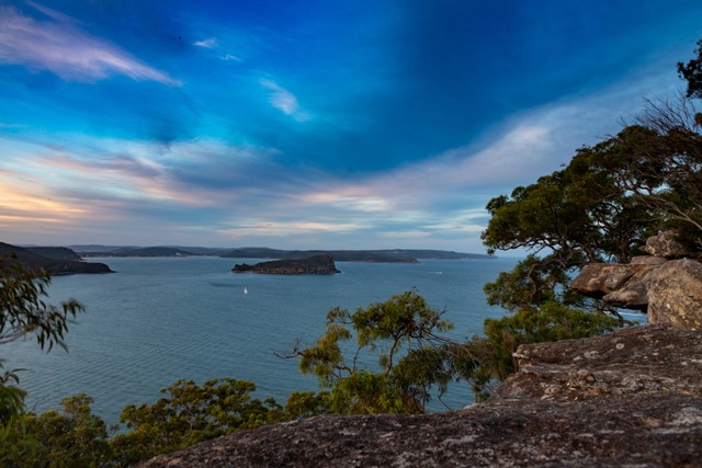
Headland Track / Resolute Loop
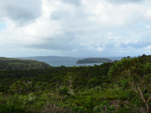
The Resolute Track at far end of West Head provides access secluded beaches, a number of interesting aboriginal sites in the area and numerous lookouts. It's a good walk in summer as you can stop for a swim at West Head Beach, Resolute Beach or Great Mackerel Beach.
 1.1
km
return
30
mins
1.1
km
return
30
mins
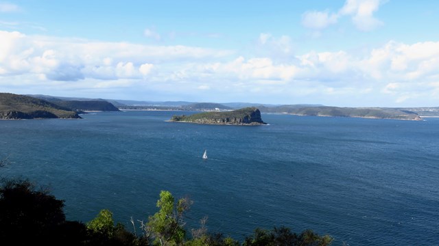
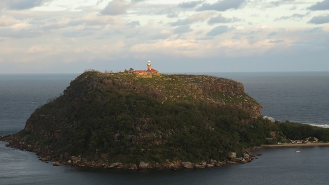
Koolewong Track
The Koolewong Track (koolewong is an Aboriginal word for koala, ‘though there are none left in this area) is one of the shortest walks at West Head. However, it leads to one of the best lookouts over Hawkesbury River toward Patonga and Lion island.
 2
km
return
1
hr
2
km
return
1
hr
Flint and Steel Beach
A relatively short walk with the option of going to either the beach (the more popular walk, and a good swimming and fishing spot) on one one side of the headland, or the bay (where you’re unlikely to see anyone else) on the other.
 2.2
km
return
1
hr
2.2
km
return
1
hr
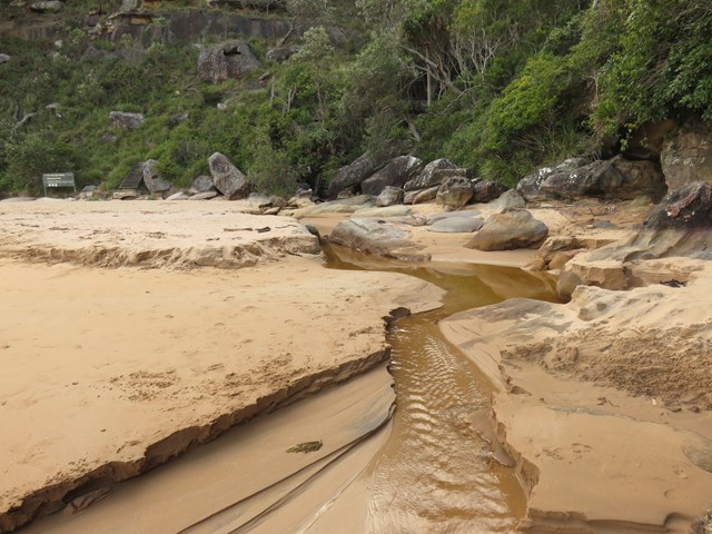
America Bay
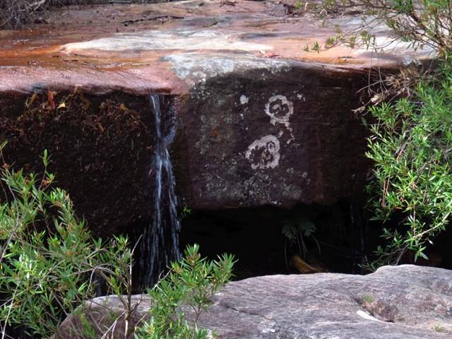
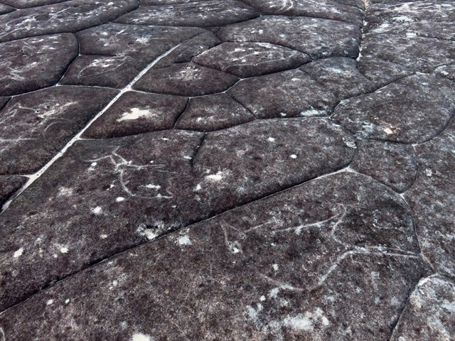
A short walk with a great range of scenery, making it a great choice if you have only a short time in this National Park. This track one of two ways to access America Bay - the other is by boat. The track cuts straight through the bush from West Head Rd to pass historic Aboriginal engravings and a large cliff with a small waterfall, which also gives an impressive view of the bay. The well-formed track stops at a lookout over America Bay; there is a rough track down to the water.
 11
km
return
3.5
hrs
11
km
return
3.5
hrs
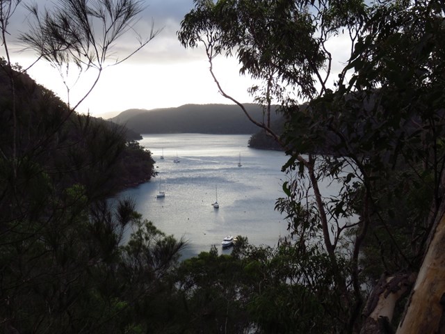
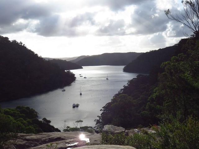
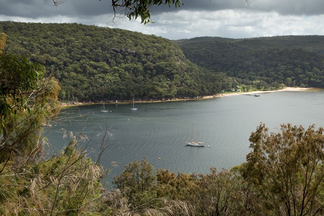
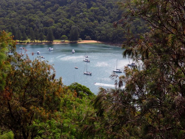
Bairne Track to The Basin Circuit
Nice walk along ridge tops to secluded beaches, an enticing lagoon and detailed indigenous engravings. Can be done as a return walk to a really nice lookout near the end of the Bairne Track, or combined with the The Basin track to form a circuit (using a ferry to connect the two walks)