
Menu

 1.4
km
return
1.4
km
return
 40
mins
40
mins
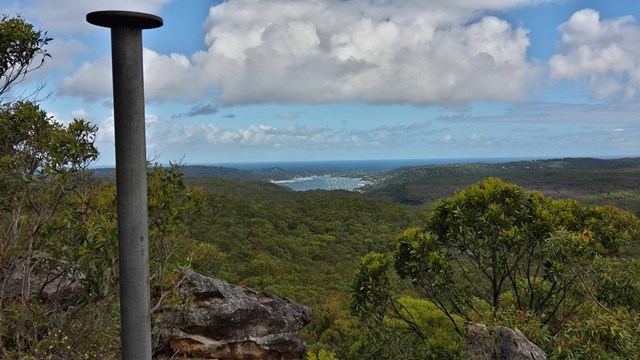
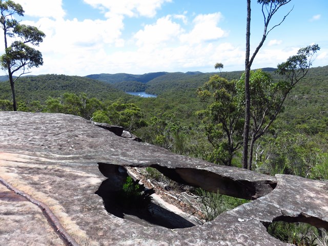
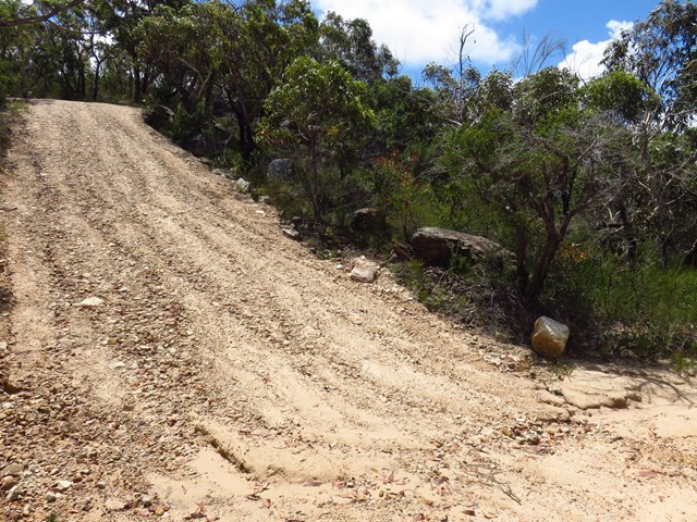
Willunga Track
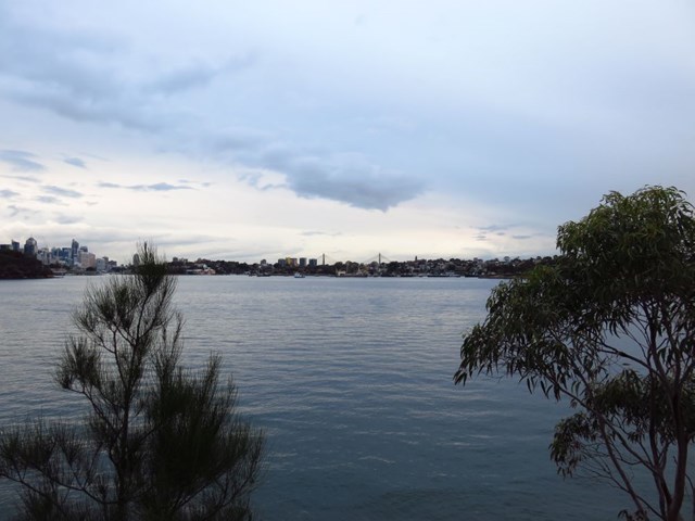
This short walk takes you to the highest point in Ku-ring-gai Chase National Park. At the top of the hill is an old trig point and some stunning panoramic view. On a clear day, there is an uninterrupted 180-degree view across large parts of the park, including Pittwater to the east and distant glimpses of Sydney city on the horizon, far to the south.
 9.4
km
return
3
hrs
9.4
km
return
3
hrs
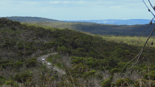
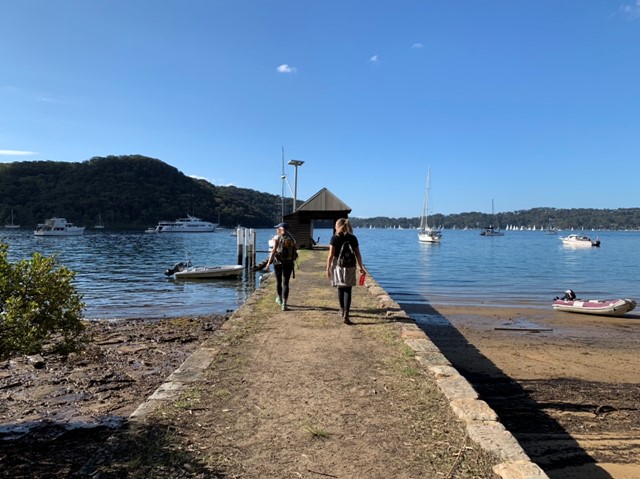
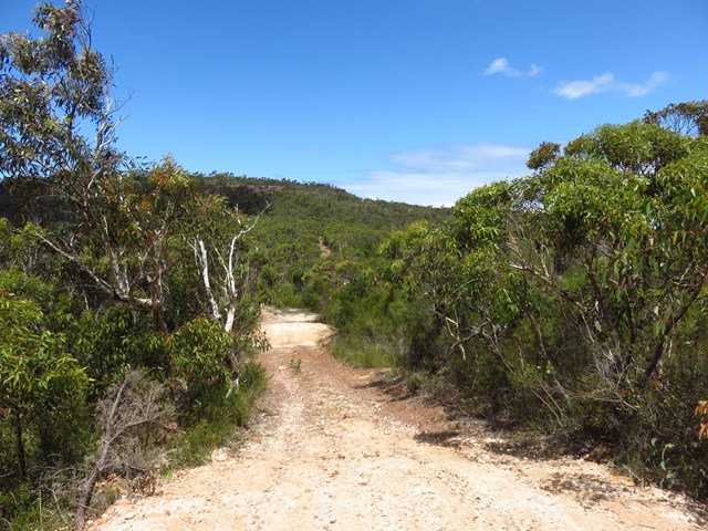
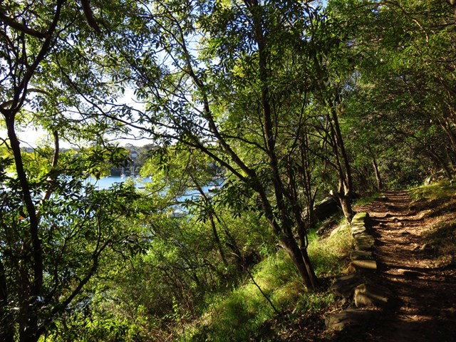
Towlers Bay Track
An easy walk on a 4WD / management road, that leads down from West Head Road to Towlers Bay (where there are are a few houses that are accessed via water only). There’s also a YHA youth hostel at Towlers Bay, accessed via this track or by ferry/water taxi.
 9
km
return
2.5
hrs
9
km
return
2.5
hrs
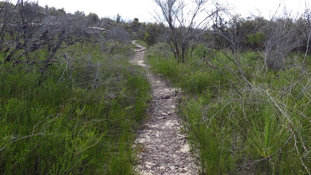
Waratah Track
The long and easy Waratah Track track takes in wildflowers and some scenic water views over Akuna and Yeomens Bay in Ku-ring-gai Chase National Park at the end. It's a 4WD track - closed to vehicles but suitable for mountain bikes as well as walkers.
 2
km
return
45
mins
2
km
return
45
mins
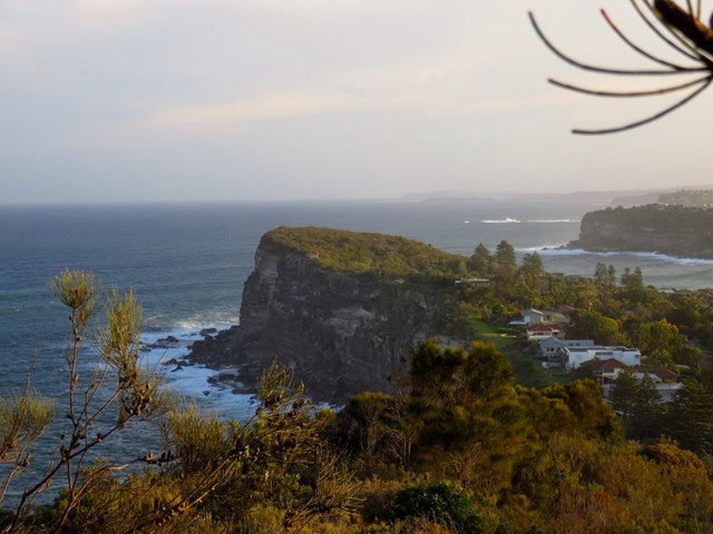
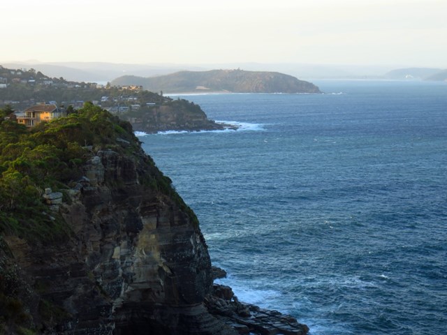
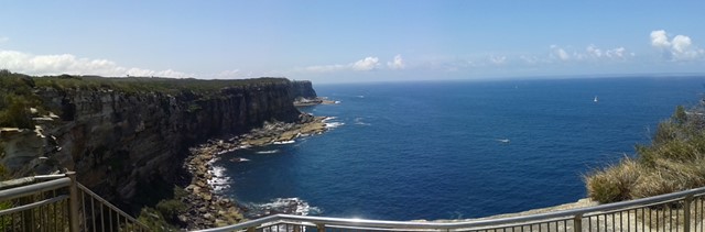
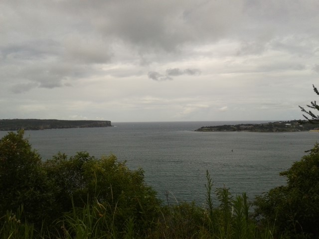
Bangalley Headland
A relatively hard walk, 45 leisurely minutes return on a loop track. The headland is the highest point on Sydney's northern coastline, and offers spectacular views south to Sydney and north to Broken Bay and the central coast.
Bangalley Head is one of the largest bushland reserves on Pittwater's coastline. This large size together with the great variety of native plants, makes the reserve an ideal home for an abundant variety of native wildlife.
 9.5
km
return
3
hrs
9.5
km
return
3
hrs
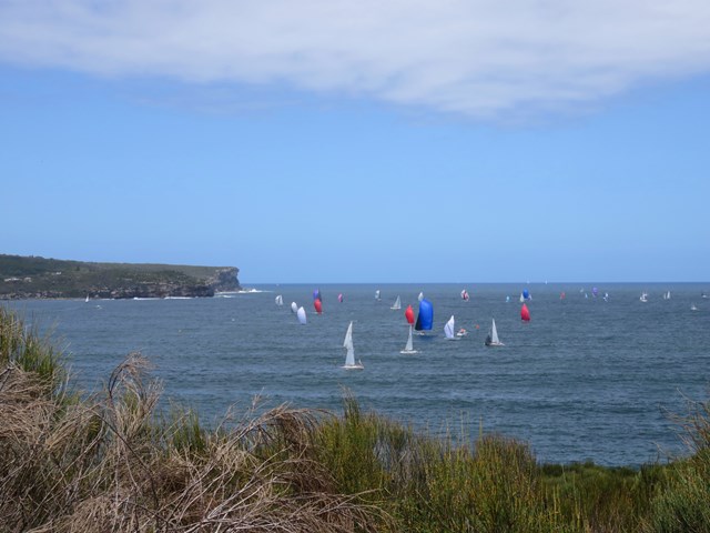
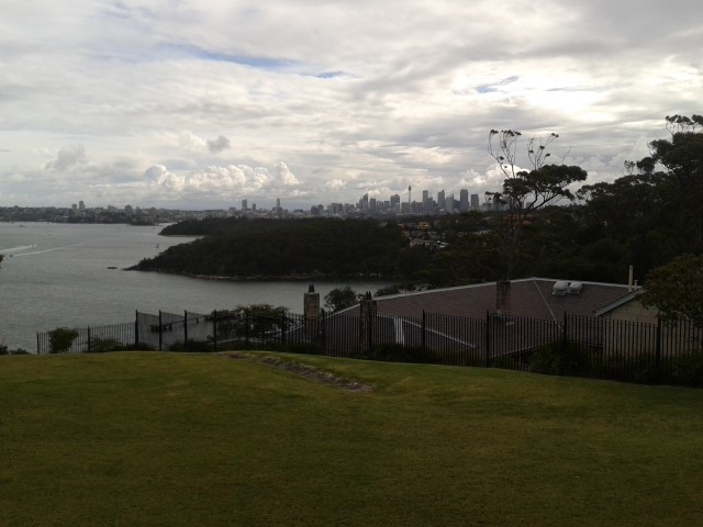
Manly to North Head
“Sunset from North Head is on my list of ways to impress my overseas visitors. They simply can’t believe how beautiful it is.”
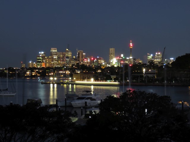
The heath-covered clifftops at North Head reveal unending ocean views and a spectacular panorama of the harbour and Sydney skyline. Situated on the northern-most edge of the harbour within sight of Hornby Lighthouse on South Head, it’s a relaxing ferry ride from Circular Quay. One of those things to do when visiting Sydney, it’s near to Manly, and a great day trip for locals and tourists alike.
 1.7
km
return
1
hr
1.7
km
return
1
hr
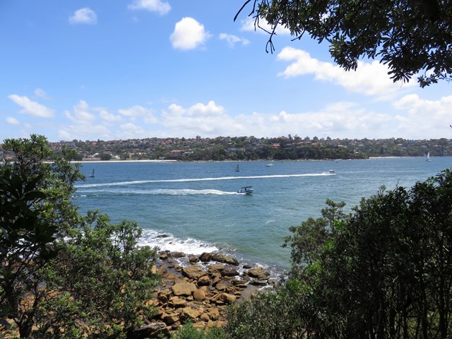
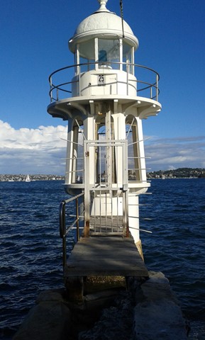
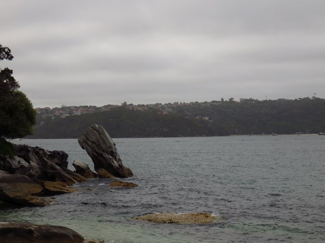
Grotto Point Lighthouse
This is an excellent walk with some very scenic views. The walk travels along a well used track through the thick coastal bush. The views are capped off by the vista over Sydney Harbour from the Grotto Point Lighthouse. Easy parking, a few good side trips, and in particular, the Aboriginal Engravings, make this walk all the more appealing.
 9.1
km
one-way
3.75
hrs
9.1
km
one-way
3.75
hrs
Spit Bridge to Manly
A classic Sydney bushwalk around the northern beaches. Nice views, many swimming bays and beaches - but does get pretty busy.
 7.4
km
one-way
2.25
hrs
7.4
km
one-way
2.25
hrs
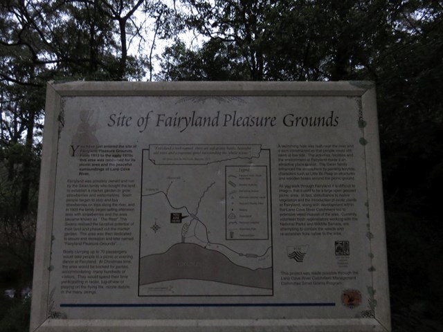
Boronia Park to Lane Cove Weir
This walk gives you the chance to explore the bush and wetlands alongside the Lane Cove River, from Boronia Park to the new underground train station at North Ryde. You will visit several mangrove wetlands, some dry eucalypt forests and have the opportunity to rest and fill up your water bottle at a few well maintained parks. This walk comes with two options:
1. after passing under Epping Road where you take a detour up through the Riverside Corporate Park to Delhi Rd and the North Ryde train station (directions as per link below)
2. after passing under Epping Road continue on through to Lane Cove Wier (directions as per attached GPS). Once arriving at the weir you will need to catch a bus back to North Ryde Train Station.
 14
km
one-way
3.5
hrs
14
km
one-way
3.5
hrs
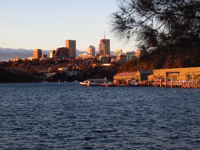
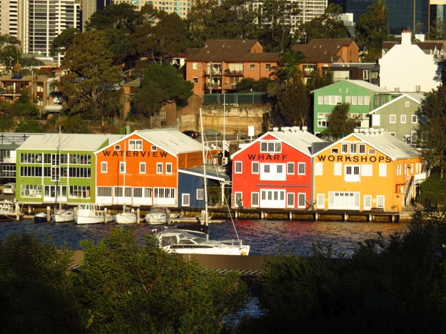
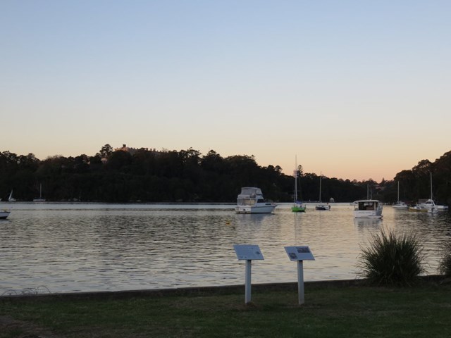
Harbour Circle Walk: Huntleys Point to Balmain
This walk takes you from Huntlets Point Terminal to Balmain East Ferry Terminal passing through nice harbour views, parks, bushland and plenty of great views.
 14
km
one-way
4
hrs
14
km
one-way
4
hrs
Harbour Circle Walk: Greenwich to Woolwich
This walk takes you from Greenwich Ferry Terminal to Woolwich Ferry Terminal passing through nice harbour views, parks, bushland and plenty of great views.
 1
km
return
40
mins
1
km
return
40
mins
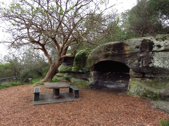
Balls Head Reserve
This is a series of small walks combined. Great views of the harbour. Several picnic areas, dedication plaques, foreshore caves and historic flagpole. The flagpole is situated 300ft above sea level, marking the highest point west of the Harbour Bridge. In early settlement times it was used as means of communication with Government House.
 2
km
one-way
40
mins
2
km
one-way
40
mins
Chowder Bay to Balmoral
The walk starts off at Chowder Bay heaps of historical buildings here. It continues to Middle Head Fortification then to finishes at Balmoral Park.
 5
km
one-way
105
mins
5
km
one-way
105
mins
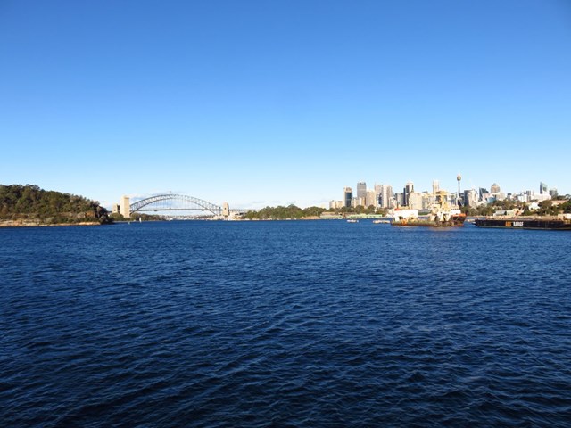
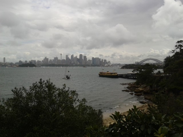
Bradleys Head to Chowder Bay Walk
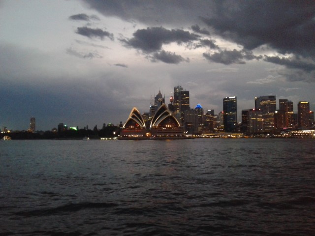
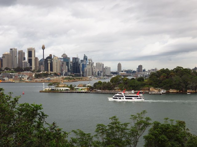
The views along Bradleys Head to Chowder Bay walk are almost too good to be true. The gentle bush track weaves around the harbour headlands from Taronga Zoo Wharf around Bradleys Head to Chowder Bay and is guaranteed to impress. You can see the Opera House and Harbour Bridge – Sydney’s most famous icons – in all their glory.
Watch the boats glide by from Bradleys Head Amphitheatre or step into the past at Military relics at Bradleys Head. Come face-to-face with wildlife and ancient trees, and stop for a drink at heritage-listed Athol Hall or a Chowder Bay cafe.
The Harbour Bridge to The Spit Bridge walking track continues past Chowder Bay if you feel like a longer walk. Once you’ve explored this exquisite part of Sydney Harbour you’re sure to want to walk more of Sydney's coastal walking tracks.
 500
m
return
15
mins
500
m
return
15
mins
Robertsons Point Lookout
A short walk but a fun time. Catch a ferry to Cremorne Point and grab a bight to eat before climbing the steps and having a play in the kids playground. Then wander along the footpath to the lookout at the end of Cremorne Point, know as Robertsons Point. The view across Sydney Harbour is great. There are also a few picnic tables to enjoy. Beyond this walk, the more adventurous can climb down the steps and ladder to the rock platform below.
 3
km
return
1
hr
3
km
return
1
hr
Cremorne Point Foreshore Walk
On this walk, you will circumnavigate Cremorne Point along the harbour-side paths, winding through gardens and sections of native bushland. The extra time for the side trip to Robertsons Point Lookout is well rewarded and in the warmer months, why not bring your swimmers and enjoy a dip at Maccallum Pool. There are places for the kids to play, grand houses and great harbour views to enjoy. A great walk for people wanting to stretch their legs and enjoy Sydney Harbour.
 3.5
km
one-way
1
hr
3.5
km
one-way
1
hr
Neutral Bay to Kirribilli
Beginning at Neutral Bay Ferry Terminal this walk will take you along the bay side through Kirribilli. You will see some of the best views of the Harbor Bridge and Opera House. The walk finishes at Milsons Point Ferry Terminal (Luna Park).
 2.5
km
one-way
45
mins
2.5
km
one-way
45
mins
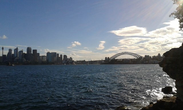
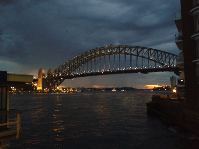
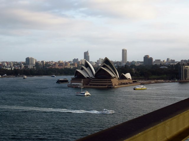
Cahill Walk (Harbour Bridge Walk)
This walk goes from Milsons Point Train Station across the Harbour Bridge and ends at the Royal Botanic Gardens. Going across the Harbour Bridge you of course get amazing views of the harbour, Opera House, Circular Quay and more. This walk can be done in either direction.
 14
km
one-way
5
hrs
14
km
one-way
5
hrs
Harbour Circle Walk: Circular Quay to Greenwich
This walk takes you from Circular Quay to Greenwich Ferry Terminal passing through nice harbour views, parks, bushland and plenty of great views.
 1.7
km
return
40
mins
1.7
km
return
40
mins
Mt Trefles
This walk explores the bushy interior section of Nielsen Park. On this walk, you will visit historic Greycliffe House and the Steele Point Gun Emplacement. The walk climbs over the Mount Trefle summit. At just over 40m above sea level, I suspect most walkers will not consider it much of a mountain, but an enjoyable walk all the same. Most of this walk follows concrete and sealed paths, and there are some great harbour views on the second half of this walk.