
Menu

 11
km
return
11
km
return
 4
hrs
4
hrs
Lake McKenzie Walkers Camp
4 hour walk from Wangoolba Creek to Lake McKenzie walkers camp on Fraser Island. Great little camp just a short walk from the lake, fully fenced from dingos.
 22
km
one-way
7
hrs
22
km
one-way
7
hrs
Kingfisher Bay to Central Station
22 km walk from Kingfisher Resort to Central Station camping area, This walk is on sand tracks and this walks acts as a feeder walk to the Fraser Island Great Walk
 10.3
km
return
4
hrs
10.3
km
return
4
hrs
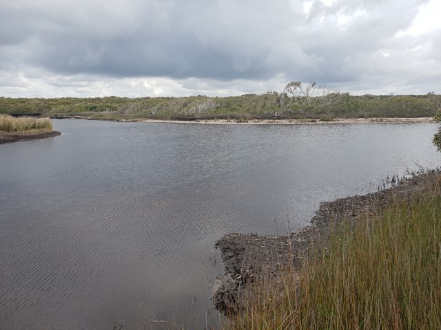
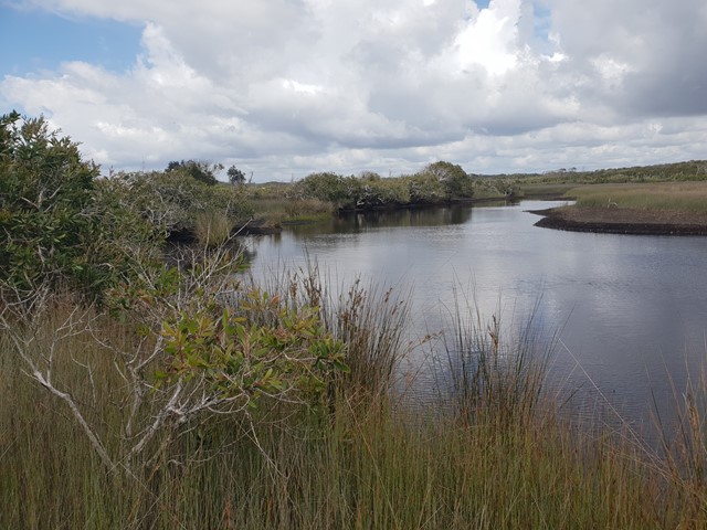
Jerusalem Creek Walk
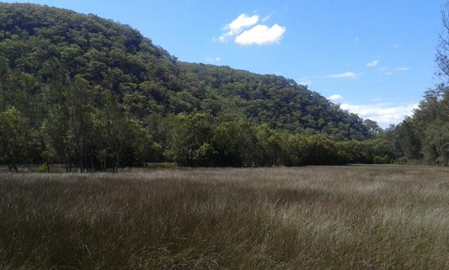
Jerusalem Creek walk traces the water’s journey to its connection with the sea. This is an important wetland area for many shorebirds, which roost and nest along the creek banks. Watch out for the pied oyster catcher and beach stone-curlew ( as per NSW National Parks & Wildlife Services)
 3
km
return
1
hr
3
km
return
1
hr
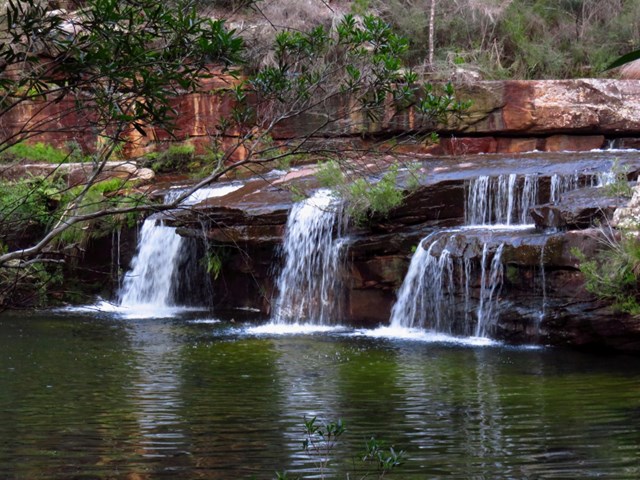
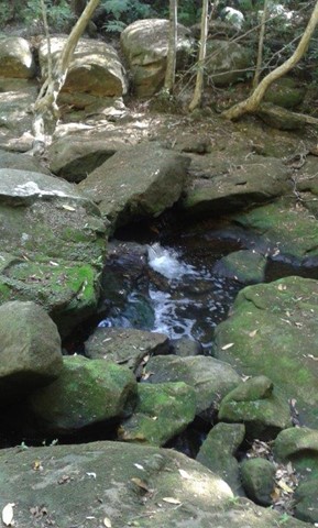
Winifred Falls Track
This short walk along the fire trail takes you down the Winifred Falls.
 11
km
one-way
3.5
hrs
11
km
one-way
3.5
hrs
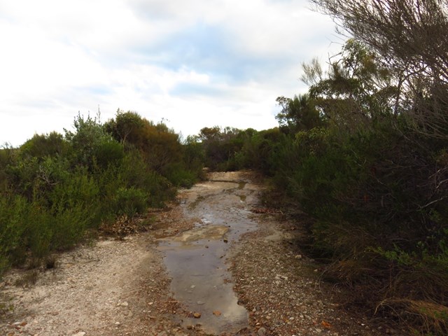
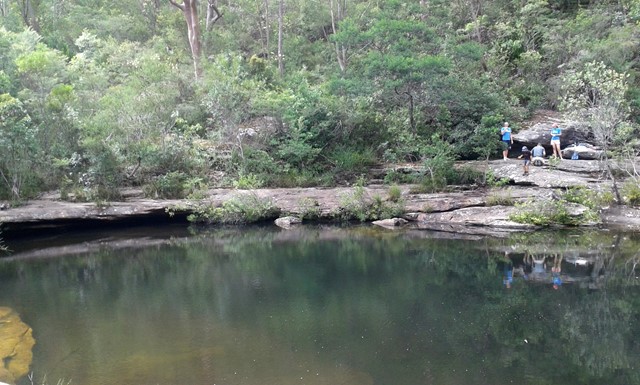
Uloola Track
Starting and ending at railway stations, this walk ventures into central Royal National Park along a well maintained bush track. The walk goes via a beautiful set of waterholes and rock flats at Karloo Pools. The walk continues to the peaceful campsite at Uloola Falls and then along a service trail, to Waterfall Railway Station.
 10
km
one-way
3.5
hrs
10
km
one-way
3.5
hrs
Mt Kuring Gai Track to Berowra Station
This walk explores three valleys, with great displays of wild flowers in spring, and some nice sandstone overhangs. The section between Mt Kuring-gai and the end of Calna Creek is particularly nice, and Naa Badu Lookout is well worth the small side trip. Take the time to enjoy the many creek side rest areas along the way.
Mt Kuring Gai to Apple Tree Bay
No details have been provided for this walk by the originator
 6.5
km
return
2
hrs
6.5
km
return
2
hrs
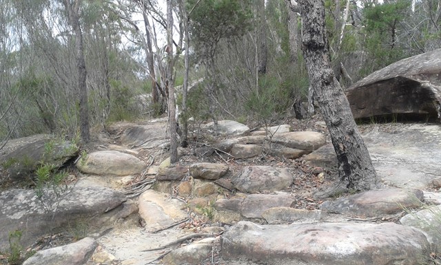
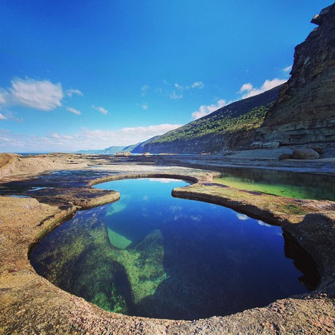
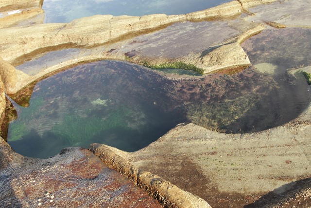
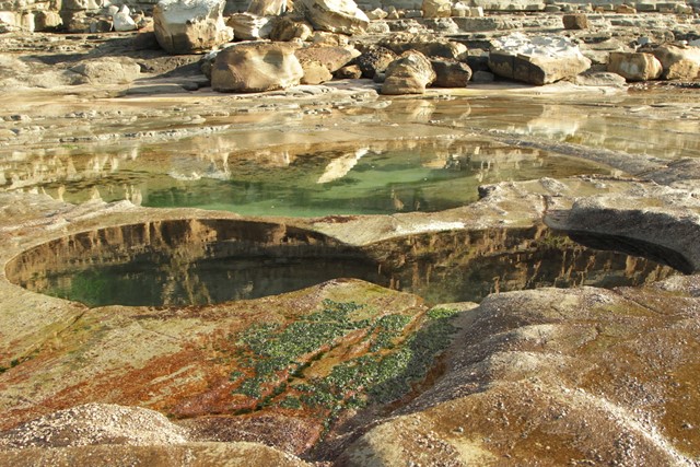
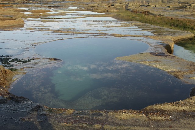
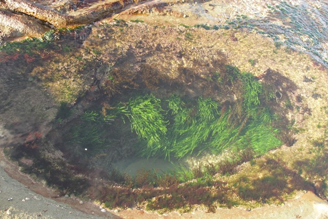
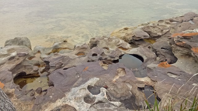
Figure 8 Pool
Possibly the most popular and most instagrammed National Park attraction, the Figure 8 pool is a natural rock formation in the Royal National Park. It can be reached via a couple of tracks: this route describes the shortest way to the pool.
 10.2
km
return
3
hrs
10.2
km
return
3
hrs
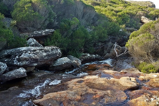
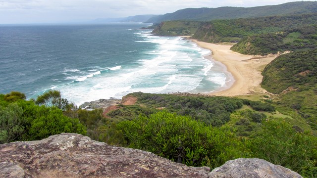
Curra Moors
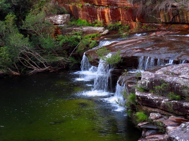
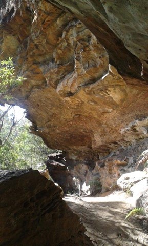
If you long for a challenging walk to clear the head and work the body, the Curra Moors loop track through the eastern section of Royal National Park is just the ticket. The bush meets the sea with dramatic sandstone cliffs and spectacular coastal views, so there are plenty of scenic views.
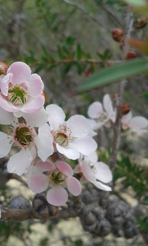
The track will lead you through woodlands of scribbly gums and angophoras before opening up to heathland. If you like birdwatching, be sure to look for the nectar loving lewins honey eater and the eastern spinebill. If you’re here in spring, the wildflowers, in particular the hakeas, are the ultimate in aroma therapy.
Stop for a break at the spectacular Curracurrong waterfall, or take the short detour north to Eagle Rock. Keep an eye out for whales, in season, as you follow the coastal track south to Garie North Head. Stop for a picnic lunch and soak up the spectacular panoramic views.
 28
km
one-way
9
hrs
28
km
one-way
9
hrs
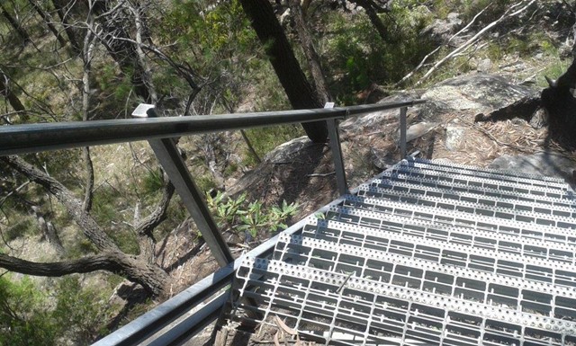
Coast Track
The Coast Walk in the Royal National Park is a popular long day-walk or overnight walk from Otford to Bundeena, along the coast. It offers stunning views, many pristine beaches and some spectacular waterfalls.
 6.8
km
return
2.5
hrs
6.8
km
return
2.5
hrs
Bundeena to Jibbon Head Circuit
On this loop walk you will enjoy some grand ocean views, a few secluded beaches, rock shelves and some Aboriginal engravings. The walk starts in the community of Bundeena and follows the roads to Jibbon Beach then along the track to Jibbon Head and Shelley beach, then a long stretch of sandy management trail through the heath. The walk also describes a side trip to Bundeena Lookout.
 15.5
km
one-way
4
hrs
15.5
km
one-way
4
hrs
Berowra to North Turramurra
Combines the Berowra track to Apple tree bay with a portion of the Sphinx
8.7
km
one-way
4
hrs
Berowra to Bobbin Head
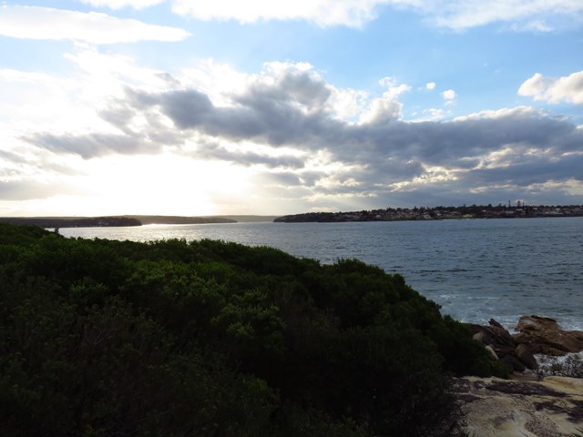
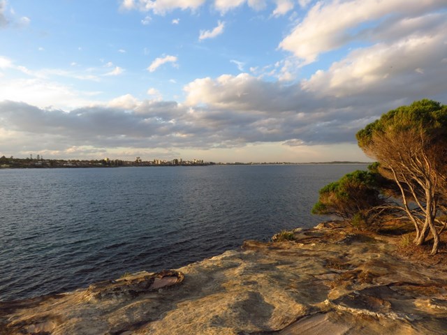
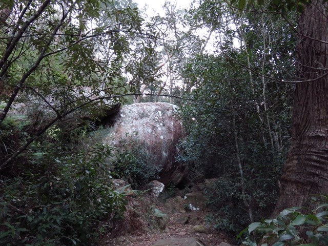
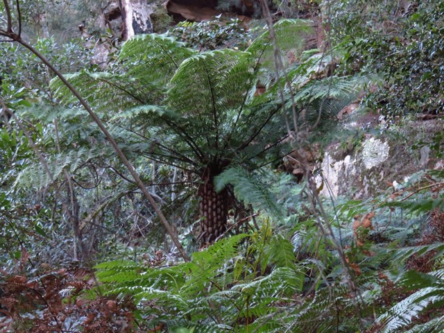
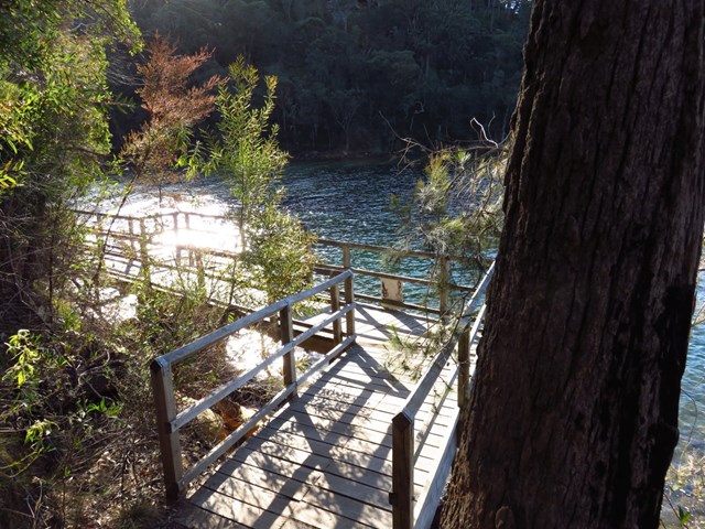
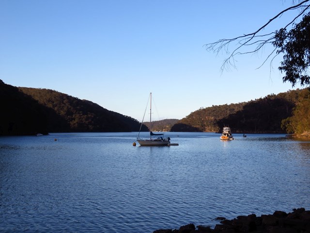
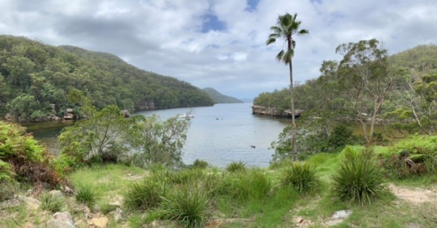
Following Cowan Creek, this walk is one of the most pleasant in the Ku-ring-gai Chase National Park, with great views over the water as well as nice views from the ridge at Berowra. Be sure to stop at the cafe for a cuppa in Bobbin Head before going home. Apple Tree Bay is also a very pleasant spot to take a break and enjoy the day.
 2
km
return
1
hr
2
km
return
1
hr
Allyn River Rainforest Trail
A rain forest walk through blue gums and strangler figs with epiphytes and ferns in Allyn River Forest Park just south of Mt Allyn in Barrington Tops National Park.
5
km
return
2
hrs
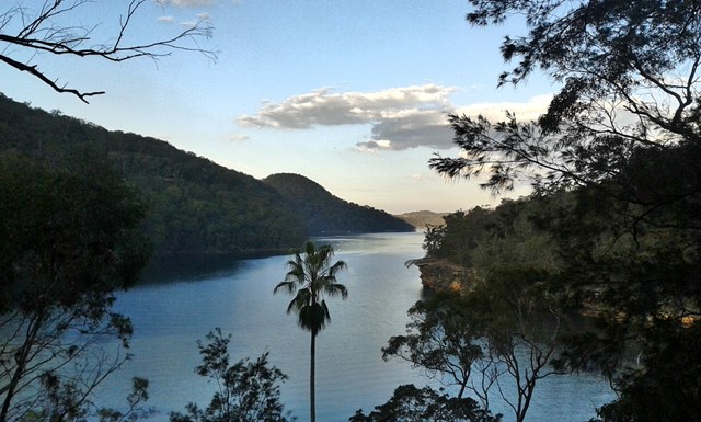
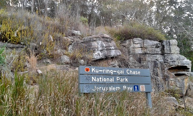
Jerusalem Bay
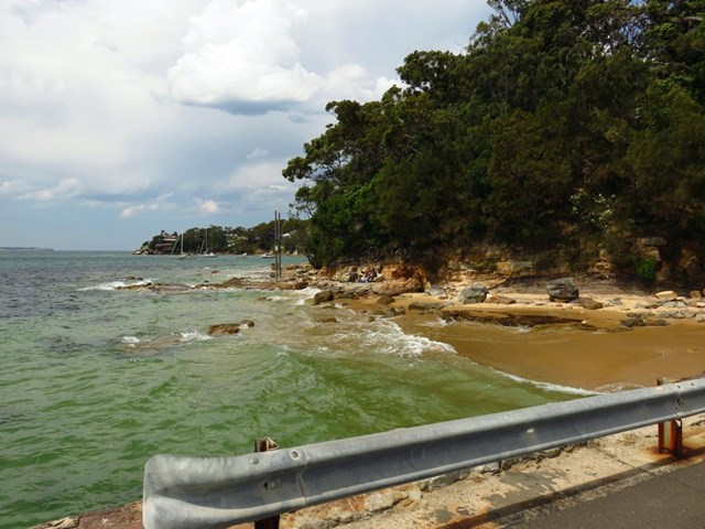
This track takes you to one of the most iconic views along the the Great North Walk. From Cowan Station, the walk passes through a variety of environments, with dryer vegetation near the freeway and moister rainforest-like plants near the water. Jerusalem Bay is a pretty area, shared by walkers and boaters, and a great place to relax before the walk back up to the station
 6
km
return
2
hrs
6
km
return
2
hrs
Kattang Nature Reserve
Native flowers, coastal cliffs, coastal views, echidnas.
Headland circuit walk with lookouts.
 5
km
return
3
hrs
5
km
return
3
hrs
Little Dromedary
Great views from the top of Little Dromedary, a small rocky peak overlooking the the historic town of Tilba Tilba. There's no marked track, so some navigation and a bit of "bush bashing" is required.
 4
km
return
2
hrs
4
km
return
2
hrs
Fingal Bay to Port Stephens Lighthouse
A near-perfect C-curve of sand that faces southeast, Fingal Bay has its own island connected by Fingal Spit and is well protected from all but a hefty southeast wind. The spit at the north end which links Fingal Island (also known as Shark Island) to the mainland gets decent waves when the sand builds up.
The island’s key feature is an imposing lighthouse surrounded by beautiful views of the ocean.
 2
km
return
1
hr
2
km
return
1
hr
Triplet Falls
Loop track that includes lookouts over triplet falls, Great Otway National Park.
 5
km
return
2
hrs
5
km
return
2
hrs
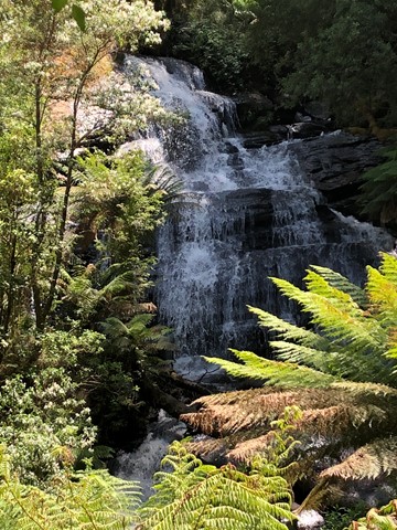
Little Aire Falls
A walk in the Otway Ranges that takes you through fern filled gullies to a waterfall.