
Menu

 2.5
km
return
2.5
km
return
 1
hr
1
hr
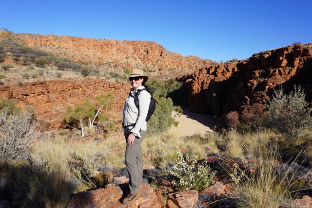
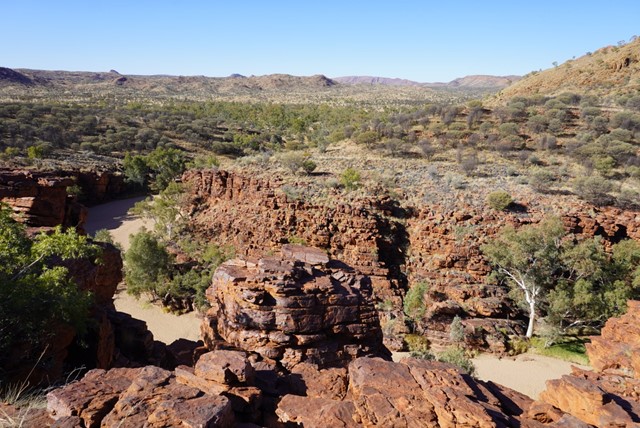
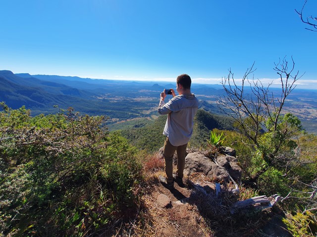
Panorama Walk
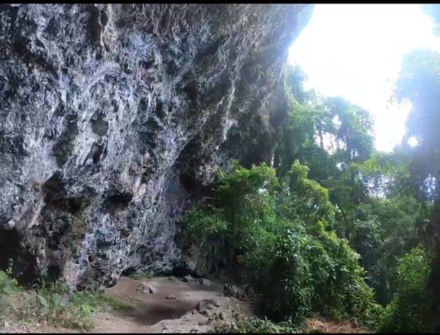
This walk offers good views and interesting geological sites. The spectacular folding you can see in the rock faces along this walk were created in the upheaval stage, when the soft bitter springs rock was twisted and folded by powerful earth movements.
 2
km
return
1
hr
2
km
return
1
hr
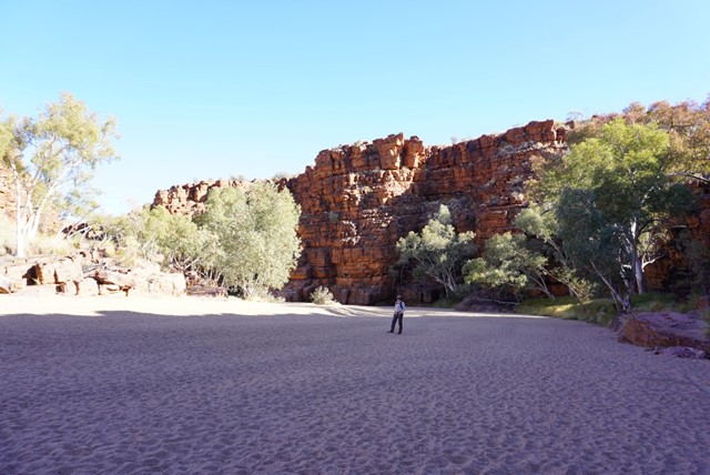
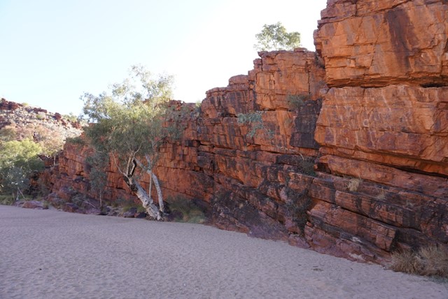
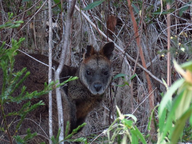
Trephina Gorge Walk
This walk can initially be enjoyed by either walking directly down into the creekbed or alternatively by walking up along the gorge rim. This loop walk which commences at the creeks edge, provides scenic views of the sheer red cliffs towering over the treelined creek. Close observation may reveal the presence of the shy Black-footed Rock-wallaby
3.5
km
return
90
mins
Chain of Ponds Walk
An easy 15 minute walk to the lookout at the top of this narrow gorge offers spectacular views. However, some difficult climbing and scrambling over rocks is required to continue to the Rockhole, wading or swimming may be required after rains. The alternative option is to return along the same track to the carpark.
 9
km
one-way
5
hrs
9
km
one-way
5
hrs
Ridgetop Walk
You can start this walk at either, John Hayes Rockhole or Trephina Gorge and return along the road or arrange with friends for a vehicle pick-up. This walk offers spectacular views of the rugged East MacDonnell Ranges and a view of Alice Springs is possible from Turner’s Lookout.
 2.2
km
return
1
hr
2.2
km
return
1
hr
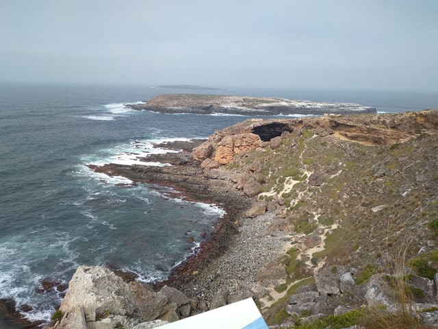
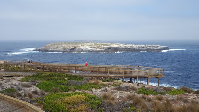
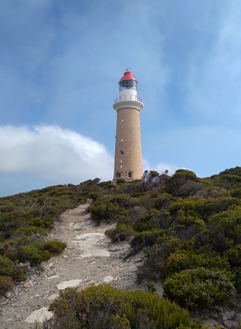
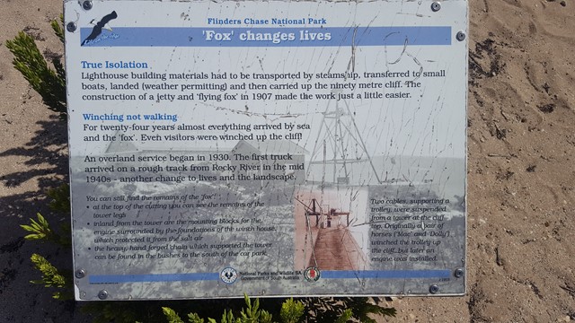
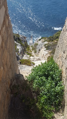
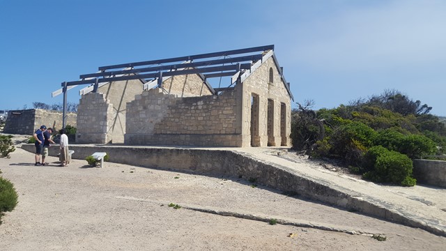
Cape du Couedic Hike
Departing from Cape du Couedic Lighthouse, this hike provides spectacular coastal cliff top views as it meanders between the Lighthouse and Admirals Arch. Discover the varied and impressive techniques that plants use to grow here. Find out about Aboriginal connections with Cape du Couedic and how they survived in this harsh environment. Contemplate the drama of being shipwrecked here 110 years ago. Look for the water pool built by the lighthouse builders and watch for those who still use it today.
 3
km
return
1
hr
3
km
return
1
hr
Weirs Cove Hike
Imagine spending three months or more waiting for fresh supplies. Hike from Cape du Couedic Lighthouse to Weirs Cove to appreciate the life of the lightkeepers, not to mention their long walk to bringing the groceries home. Discover the method of landing people and supplies along this treacherous coastline.
 1.2
km
return
45
mins
1.2
km
return
45
mins
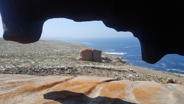
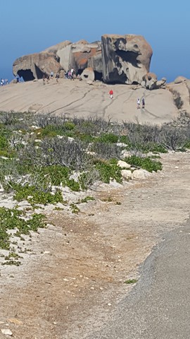
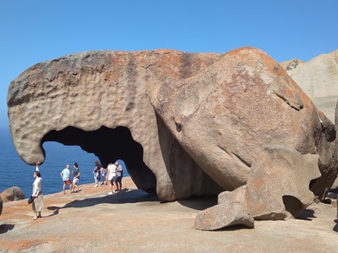
Remarkable Rocks
A standout structure teetering on a barren granite monolith at the cliff's edge. Sculptures by wind, rain and sea stray over 500 million of years and would not look out of place in an art gallery.
 2.2
km
return
30
mins
2.2
km
return
30
mins
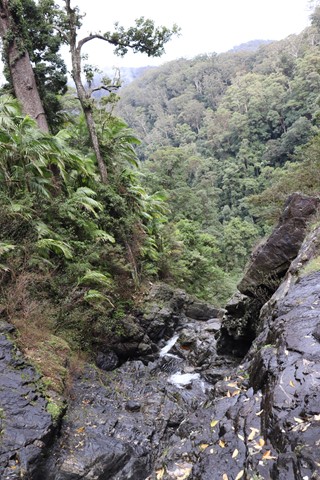
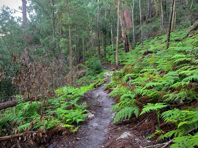
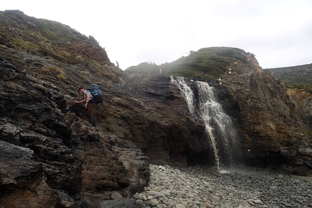
Red Cedar Falls Walking Track
Red Cedar Falls walking track leads to the largest waterfall in Dorrigo National Park.
The strenuous hike to Red Cedar Falls is one of suspense, with glimpses of dramatic vistas and World Heritage-listed rainforest. The waterfall is the largest in Dorrigo National Park, accessible by Red Cedar Falls walking track. Setting out on the hike to witness the beauty of Red Cedar Falls is definitely one of the best and most rewarding things to do if you’re visiting the Coffs Harbour area.
 9.4
km
one-way
4
hrs
9.4
km
one-way
4
hrs
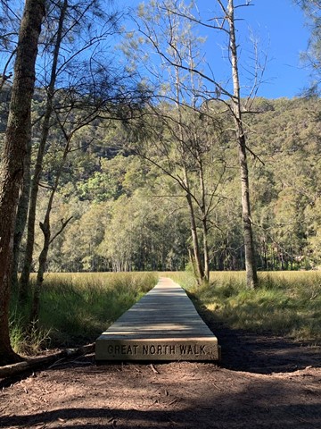
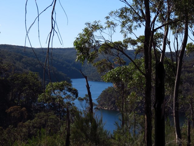
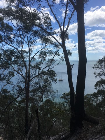
Mt Kuring Gai to Berowra
From the ridges above Cowan Creek, this walk takes in some great lookouts (especially around Mt Kuring-gai) as well as enjoying an extremely pleasant bush track along the creek. Easily accessible by public transport, this track gives walkers a good taste of what Ku-ring-gai Chase National Park has to offer. Be sure to spare some time for a dawdle around the bays on Cowan Creek.
 6.6
km
one-way
2.5
hrs
6.6
km
one-way
2.5
hrs
The Blackbutt Track
This walk takes you to the the Never Never picnic area through rainforest and two waterfalls. You can return to your car via a 5 km walk up the road. Walking in this direction the Bushwalk part is mostly downhill with an uphill walk after the second waterfall.
800
m
return
30
mins
Coomba Water Hole
Follow the staircase down to this hidden water hole and water fall/cascade. Beautiful spot for a picnic and to cool off on a hot summer's day.
 12.2
km
return
8
hrs
12.2
km
return
8
hrs
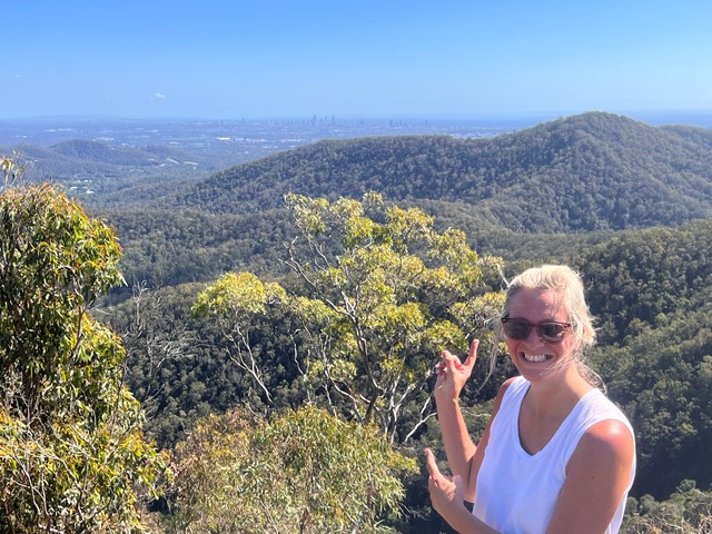
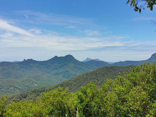
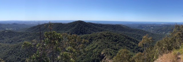
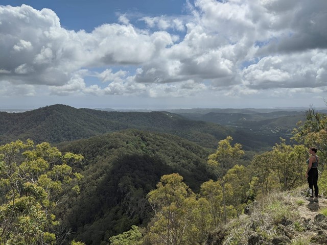
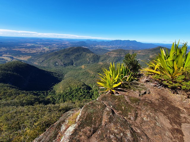
Mt Roberts + Lizard Point
A reasonably well marked trail leading up to the summit of Mt Roberts, then proceeding on to one of the best lookout points in SEQ - Lizard Point.
 85
km
one-way
7
days
85
km
one-way
7
days
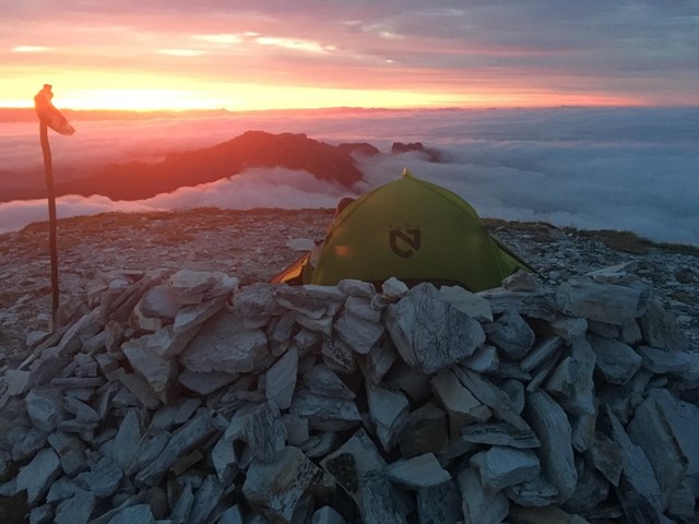
South Coast Track
The 85km South Coast Track runs between Melaleuca and Cockle Creek. There are no roads to Melaleuca, so walkers must either fly, sail or walk in and out.
Most people take about 6 to 8 days to complete the South Coast Track, depending upon time spent enjoying the beaches. Walkers should note that the track surface may be rough and muddy over extended sections.
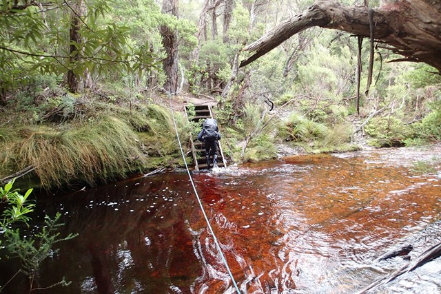
Boat Crossings
There is a water crossing that requires walkers to use small boats at New River Lagoon. Extreme caution is needed when making crossings, particularly in windy weather. You should carry a couple of days extra food to allow for delays.
Track conditions
When crossing the Ironbound Range, note in one day the track goes from sea level to 1000 m above sea level, and back down again. It’s a very full day. Start from the campsite right at the base of the Ironbounds. The South Cape Range is half as high as the Ironbound Range, but equally difficult. It's a rough and muddy track. Start from the nearest campsite and expect a full day. Note that there's no creeks for most of the Ironbound Range and the South Cape Range.
There is no reliable fresh water at the campsite at New River Lagoon crossing. Most other creeks marked on the map are big enough to be flowing even in the driest time of summer.
If you want to visit Osmiridium Beach, be aware that the turnoff is not obvious and many people walk past it. Look for a little path meeting the track.
At South Cape Bay, there’s no track down to South East Cape (the southernmost point of the continent.) There’s no point leaving the South Coast Track to reach it as it’s an impassable coastline. When walking along narrow or rocky beaches at high tide, beware of large wave swells.
 23
km
one-way
4
days
23
km
one-way
4
days
Frenchmans Cap
A brilliant walk through some characteristic Tasmanian wilderness. Well-defined, well-maintained tracks, as well as scrambling and cairns at the summit. Breathtaking views, a variety of ecosystems, and comfortable trail huts. Well worth the walk!
 3.1
km
return
1
mins
3.1
km
return
1
mins
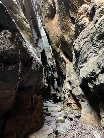
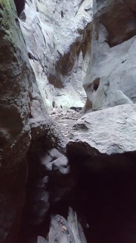
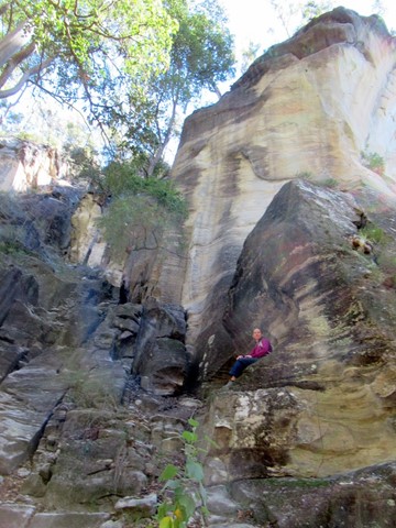
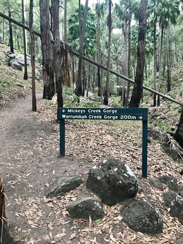
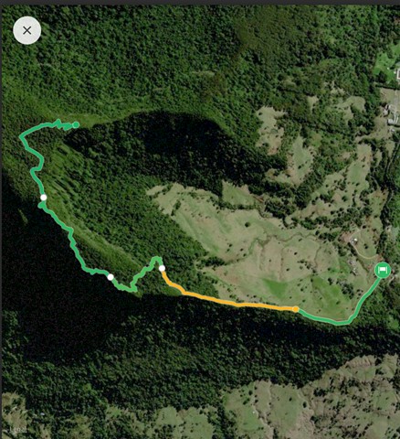
Warrumbah Creek
Similar to Mickey Creek, this is a scramble up the creek course, crisscrossing the creek and finding your own way around and over boulders, along ledges and through narrow crevices.
 4.7
km
return
2
hrs
4.7
km
return
2
hrs
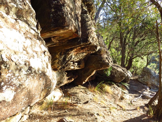
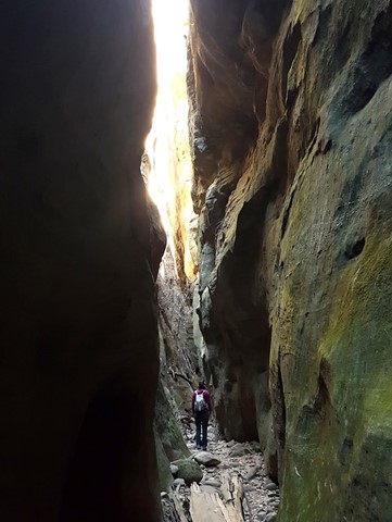
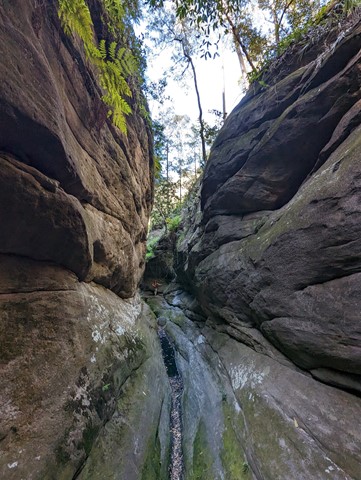
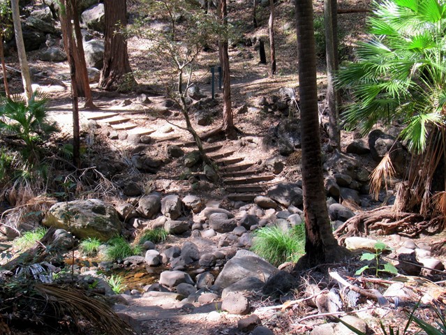
Mickey Creek
Wander along Mickey Creek and into narrow side gorges where the walking track becomes a rock-hopping adventure. Swamp wallabies are often seen resting here. Rocky sections of this track are slippery and caution is needed on creek crossings. The formed track ends 1.5km from the Mickey Creek car park.
 18
km
return
7
hrs
18
km
return
7
hrs
Mt Wagawn
This track also branches off the Mount Hobwee circuit, 2km from the Border Track junction. Garragoolba lookout features uninterrupted views of Springbrook, the Tweed Valley and Mount Warning.
If you approach from the bushrangers caves it is approximately 8km to Mt Wagawn.
Only after naturally occurring events such as severe wildfires or storms are there uninterrupted views of Springbrook, the Tweed Valley and Mount Warning from Wagawn. In the interim years the view may be interrupted by natural regrowth. Please do not damage or remove vegetation as many of these plants are significant species in the Gondwana Rainforests of Australia World Heritage Area. Remember, all plants are protected by legislation.
 6.4
km
return
2
hrs
6.4
km
return
2
hrs
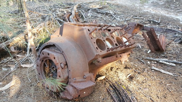
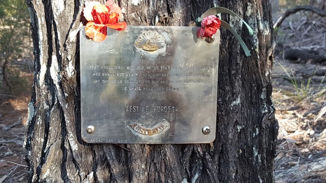
WW2 Commando School Walk
Z Special Unit was a joint Allied special forces unit formed during the Second World War to operate behind Japanese lines in South East Asia. Fraser Island was one of a number of training grounds for Australia's Special Operations programme during World War II.