
Menu

 60
km
one-way
60
km
one-way
 3
days
3
days
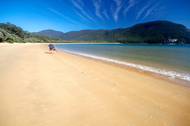
Wilsons Promontory Southern Circuit
A 2-3 day circuit hiking the southern section of Wilsons Promontory National Park, heading south via Sealers Cove, Refuge Bay and Waterloo Bay to the Lightstation, and back to Tidal River via Oberon Bay. Fantastic hiking through a variety of landscapes and traversing a number of beautiful bays and beaches. Multiple camping spots can be booked on-line, and there is a cabin and dormitory at the Lightstation.
 40
km
return
3
days
40
km
return
3
days
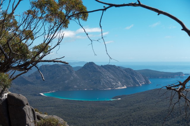
Freycinet Circuit
A rewarding 2-3 day hike that combines picturesque bays, turquoise water and majestic views of the Tasmanian coast.
 600
m
return
20
mins
600
m
return
20
mins
Cape Tourville Circuit
Headland walk with expansive ocean views, Freycinet coastline and Cape Tourville lighthouse.
 44
km
return
2
days
44
km
return
2
days
Robeys Farm
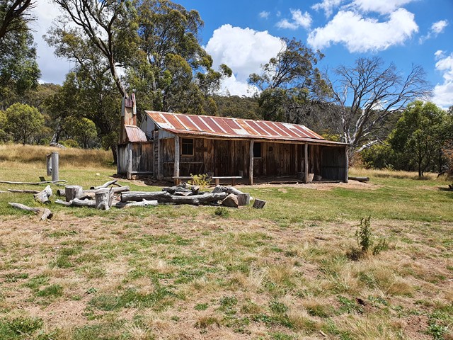
A very long day walk (or bike ride) from Darlington, or easily accessible in a day from Frenchs Farm / Encampment Cove campgrounds. The walk along a sandy track end at the Robeys Farm farmhouse, which is in pretty good condition and has a number of original artefacts inside the house.
 22
km
return
4
hrs
22
km
return
4
hrs
Haunted Bay
A very long day walk (or bike ride) from Darlington, or easily accessible from Frenchs Farm / Encampment Cove campgrounds. A fairly easy walk to a beautiful bay, which was a whaling site in the 1800s and is home to fairy penguins.
 4.5
km
return
2.5
hrs
4.5
km
return
2.5
hrs
Fossil Cliffs Circuit
The Fossil Cliffs are considered one of the best examples of life 250 million years ago, with a vast number of shellfish fossils embedded in the limestone cliffs. Best at low tide when you can clamber down to the shoreline. The circuit also passes some historic buildings in Darlington and offers some nice views of Bishop and Clerk and the high sea cliffs on the east coast.
 4
km
return
90
mins
4
km
return
90
mins
The Reservoir Circuit
This easy walk is sheltered from the coastal winds and provides a glimpse of Maria Island's wildlife and history. This walk is one of the best places to see the endangered forty-spotted pardalote. The walk takes you through open woodlands into tall eucalypt forest, and returns via ruins from the old cement works. The area near the reservoir is a good place for a picnic in the bush. Cycling is only permitted on Southern track due to safety.
8
km
return
4
hrs
Bishop & Clerk
Bishop and Clerk is a popular day walk on Maria Island, and is one of Tasmania’s “Top 60 Great Short Walks”. Please see the official guidebook for route description
Great views from the rocky summit.
 18
km
return
5
hrs
18
km
return
5
hrs
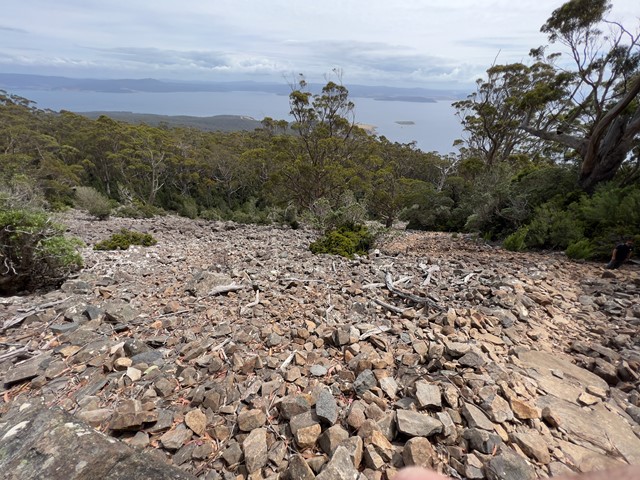
Mt Maria
Mount Maria (711 m) is the highest point on the island, and offers sweeping views up and down the Tasmanian coast. The last part of the track goes up a scree slope with some clambering up (or down!) large boulders just before the summit.
 4.2
km
return
4
hrs
4.2
km
return
4
hrs
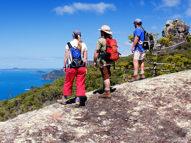
Whitsunday Cairn Track
Explore the steep slopes of Whitsunday Cairn—a towering volcanic mass perfect for those looking for an uphill hiking challenge.
 10.5
km
return
5
hrs
10.5
km
return
5
hrs
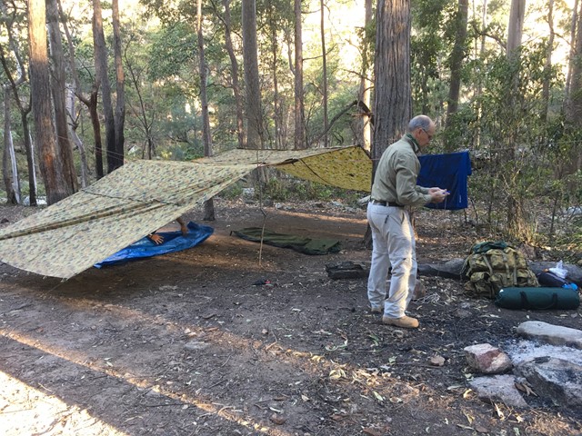
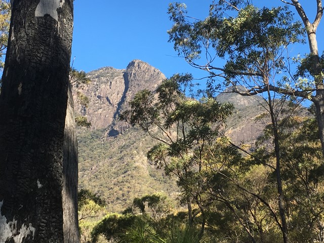
Montserrat Lookout and Upper Portals Circuit
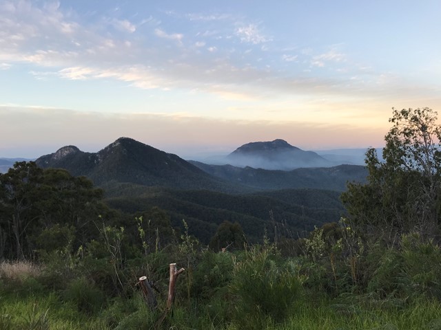
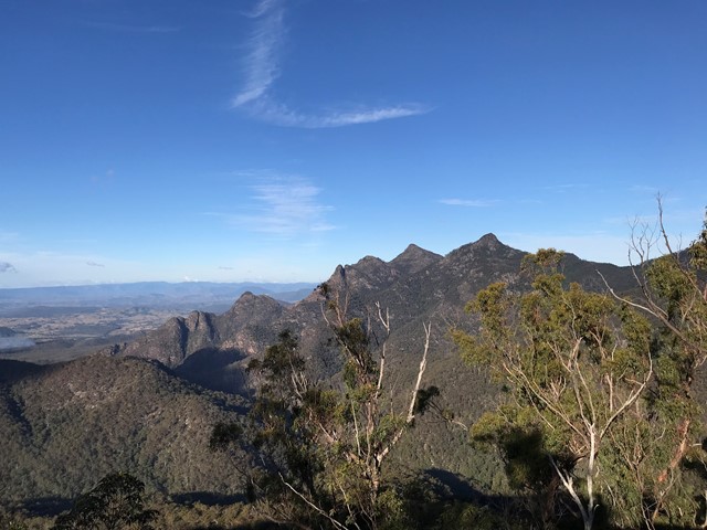
An awesome day out taking in these two spectacular locations, enjoying the amazing views of Mt Barney from Montserrat Lookout, and exploring the Portals. There are a couple of leg-burning climbs involved, but the rewards are worth it.
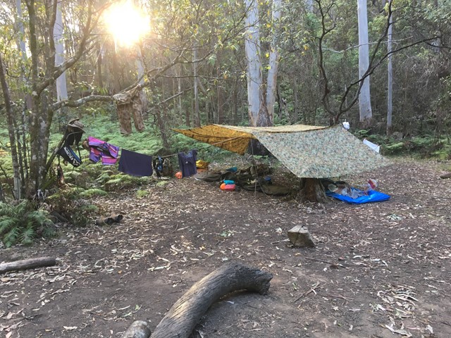
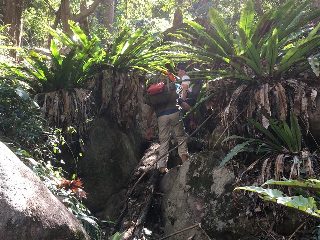
Barney Gorge Junction Bush Camp to Yamahra Creek Camp
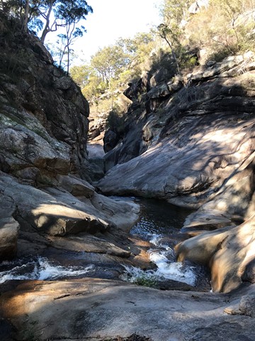
There are two ways to do this walk. The first one is to hike back up to the top of the ridge and follow it along to reach Yamahra creek camp. The second way which is the way we went was to follow the creek and rock hop your way, there are some pros and cons to this as the views are amazing and the scenery spectacular, there are some sections which are a bit challenging as they require some small rock climbing skills and are made more difficult if your carrying a large pack. Before you get to the upper portals you have to break track back up the ridge to your right as you cant get around the portals. From there you follow the track over the ridge and down the other side and descend to the Yamahra creek campsite. this campsite is close to running water in the creek, as you walk towards the creek take the left turn and water is about 200m away.
 1.2
km
return
45
mins
1.2
km
return
45
mins
Nudey Beach Track
Venture through rainforest and coastal woodlands, along the bitumen track with uneven rock steps and boulders in some sections, to reach this picturesque, iconic beach. Swim and snorkle at Nudey Beach or just settle in the shade with your picnic lunch.
700
m
return
25
mins
Secret Garden Track
On this short rocky track through sheltered rainforest, discovery some of the rainforest animals and plants. Learn about their secrets and their significance to the Gunggandji people. This track includes some uneven rock steps.
 4
km
return
3
hrs
4
km
return
3
hrs
Summit Track
Track to the summit of Fitzroy Island with fantastic 360 degree views at the top. It’s a 3.6km return track (375m) and requires moderate level of fitness due to steepness. Track is located within Fitzroy Island National Park.
 3.6
km
return
2
hrs
3.6
km
return
2
hrs
Lighthouse Road
Follow the steep, concrete service road as it climbs through rainforest to the old lighthouse. From the lighthouse, enjoy spectacular ocean views and in winter look for the occasional migrating humpbackwhale.
15
km
one-way
5
hrs
Zamia Walk
Start walk from German Street car park which is unsigned. The trail begins from the carpark heading east behind the houses with creek on right-hand side. At end of housing estate is a creek crossing and sign for the park. Walk another 1-2 km until you reach another park sign and a metal post indicating the start of the walk. The path is well defined throughout although overgrown in parts. For the next 6km the path will hug the side of Moores Creek with multiple creek crossings. Take care not to lose the path when crossing the creek in the upper reaches. There is also a nice forest to walk through before the main ascent starts which has a lot vegetation when climbing the side of the mountain. Once you lose the main branch of the creek (about 7-8km) the trail will begin to ascend the mountain and cross some smaller branches of the creek with small waterfalls. The trail will then reach a ridge and subsequent lookout point with grass trees all around and view of the Beserker Ranges. The ascent is then quite easy from this point on with plenty of opportunities to take a break with rest chairs available. The walk can be frustrating at time as it follows the creek right around the base of mountain before it commences an ascent. It also has multiple minor ascent and decents on the base of the mountain which hug the creek. You think you are going to ascend only to find another creek crossing. The creek is usually flowing and very clear giving you the opportunity to fill your water bottle up at refresh at various stages before the full ascent commences. The trail is also very rocky in parts when following the creek so a high degree of care must be taken not to roll an ankle. This a challenging and sometimes demanding hike so leave plenty of time to complete. Their are plenty of signs to help you find the way from the middle section of the hike onwards which help hikes descending. Take plenty of water for this hike as it is a very humid climate. Parks recommend this climb as descent only. It is also deemed a one-way trail.
 600
m
return
30
mins
600
m
return
30
mins
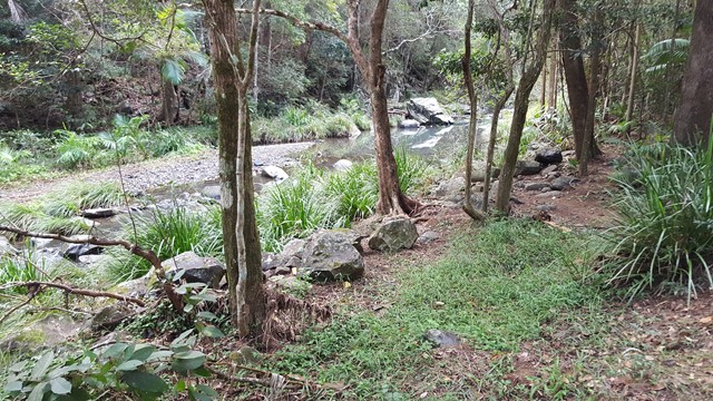
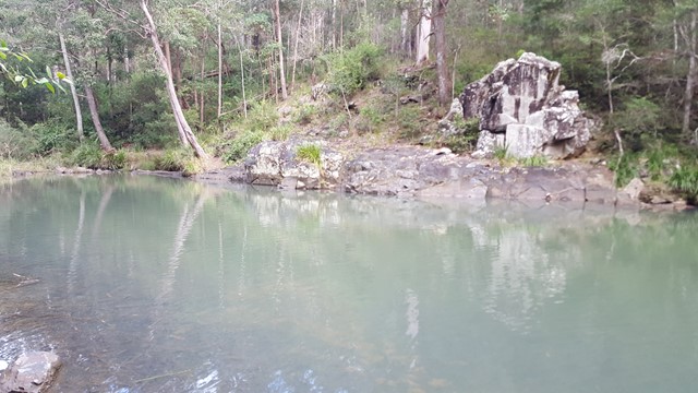
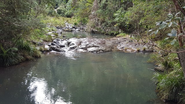
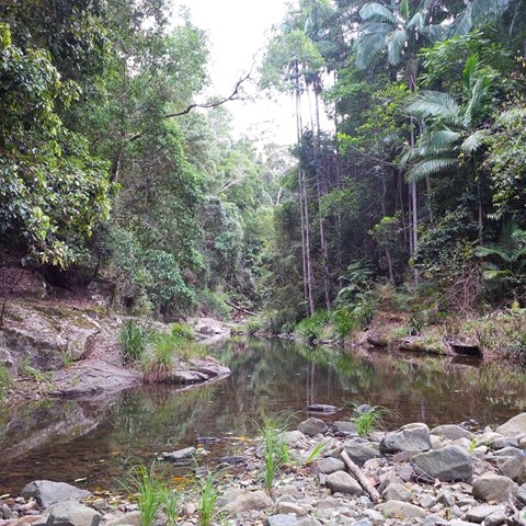
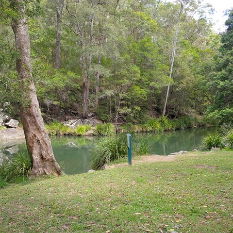
Stony Creek
The rugged Bellthorpe National Park features open eucalypt forest, rainforest and cascades along picturesque Stony Creek. An easy stroll along the creek to the lake and a beautiful place to stop and picnic.
 16
km
return
5
hrs
16
km
return
5
hrs
South Cape Bay Track
This is a 16km return walk from Cockle Creek to South Cape Bay. This walk is the most southerly day walk you can do in Australia! When you arrive at the rocky headland, you are looking south to Antarctica but it is still many kilometres south. About 4,000 kms in fact.