
Menu

 3.6
km
return
3.6
km
return
 90
mins
90
mins
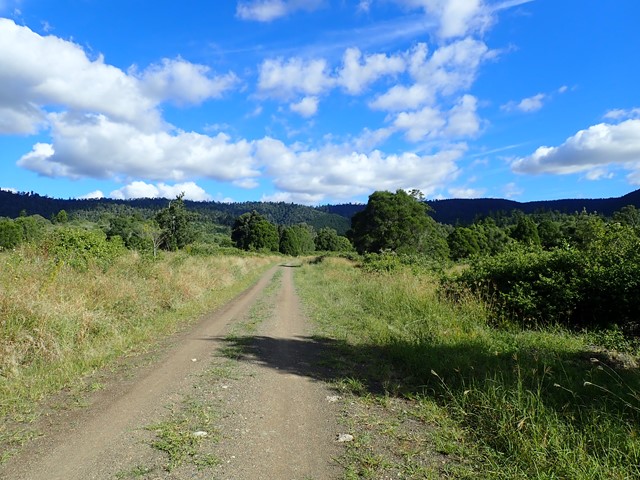
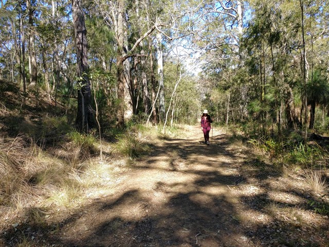
Deer Reserve SF - T1
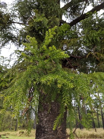
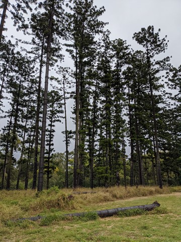
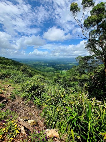
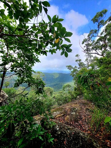
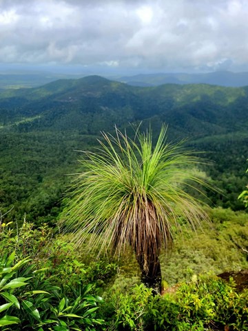
The northern half of Deer Reserve is a State Forest, containing native forest and hoop-pine plantations on steep mountainous slopes. It’s crisscrossed by management trails, which is perfect for hiking and mountain biking, provided you don’t mind hills.
 13.4
km
return
8
hrs
13.4
km
return
8
hrs
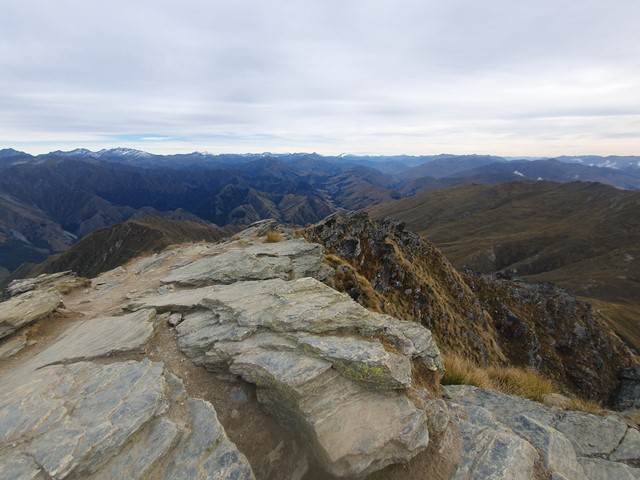
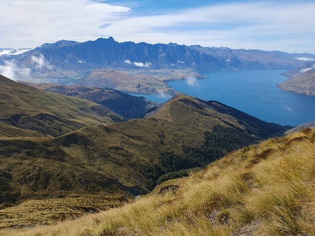
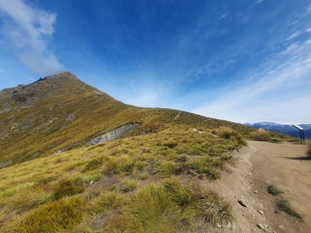
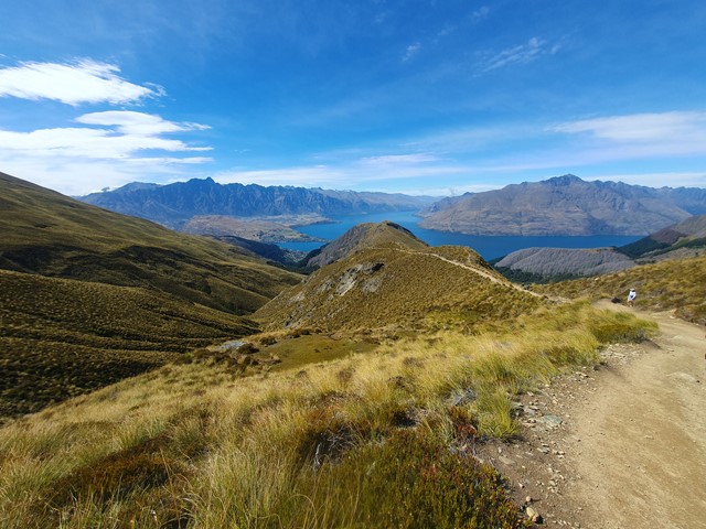
Ben Lomond
A physically challenging ascent to the summit of the most iconic mountain in the Queenstown area.
 5
km
return
1
hr
5
km
return
1
hr
Rocks Riverside Walk
Walk along the river, plenty of picnic spots, water bubblers (including for dogs) and Brisbane’s largest riverside park at the end.
6
km
return
90
mins
Bellbird trail, Kokoda trail, Jacksonia trail circuit from Gap Creek Reserve
Bellbird Trail, Kokoda Trail up to top of hill and then back down Jacksonia Track- steep climb up to top of Mt C
 2.2
km
return
40
mins
2.2
km
return
40
mins
Cliveden Avenue Reserve
A short easy walk around Corinda Horse and Pony Club.
 3.5
km
return
45
mins
3.5
km
return
45
mins
Oxley Creek Common-Pelican Island Walk
A serene patch of bird-inhabited wetland in the midst of an agricultural and industrial area, Oxley Creek Common has a couple of easy paved walking trails and picnic amenities for the visitor.
One trail leads from the picnic area and themed info and amenity block Red Shed and splits into two before ending at two different bird habitats. For those keen to spot some of the 180 plus species of bird that inhabit this space, the best times to walk are at dawn and dusk though ornithological tendencies are not required to enjoy these walks.
 4.6
km
return
1
hr
4.6
km
return
1
hr
Oxley Creek Common-Secret Forest Walk
A serene patch of bird-inhabited wetland in the midst of an agricultural and industrial area, Oxley Creek Common has a couple of easy paved walking trails and picnic amenities for the visitor.
One trail leads from the picnic area and themed info and amenity block Red Shed and splits into two before ending at two different bird habitats. For those keen to spot some of the 180 plus species of bird that inhabit this space, the best times to walk are at dawn and dusk though ornithological tendencies are not required to enjoy these walks.
 3.4
km
return
75
mins
3.4
km
return
75
mins
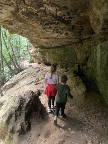
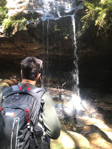
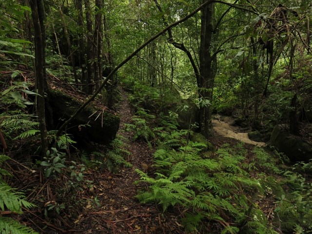
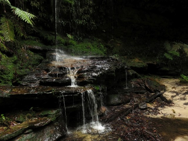
Hazelbrook Four Waterfalls
This walk takes you to Horseshoe, Glow-worm Glen, Oakland and Burgess Waterfalls.
 7
km
return
5.5
hrs
7
km
return
5.5
hrs
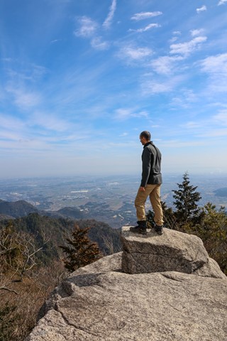
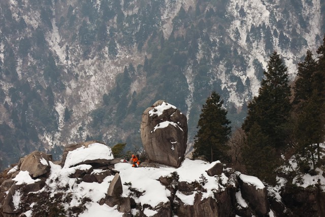
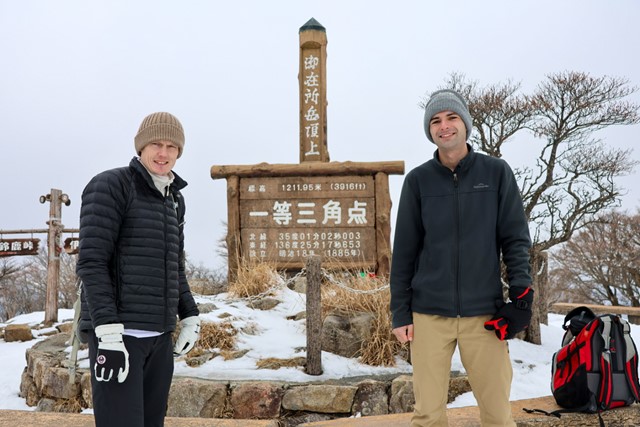
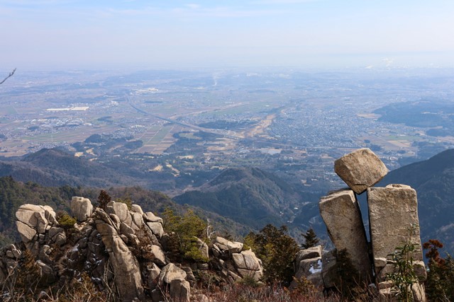
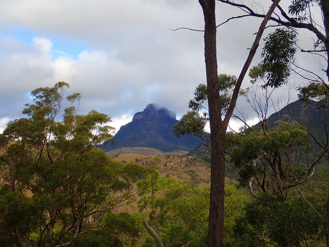
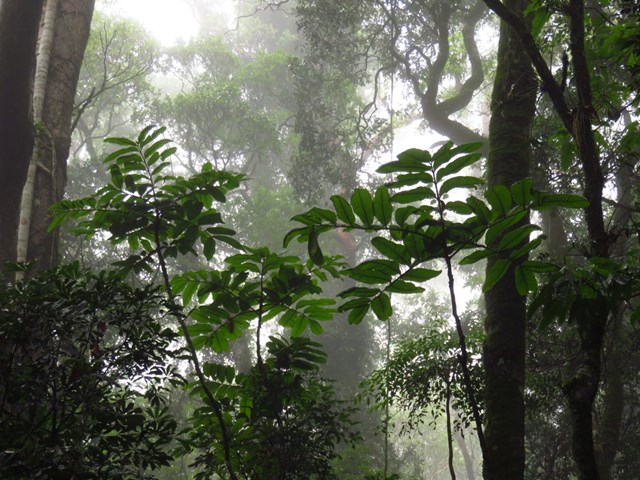
Gozaisho 御在所 (Mie Prefecture)
Gozaisho is a beautiful mountain tucked away in rural Mie, near the border of Aichi and Gifu. It has a collection of unqiue rock formations and is the starting point for some great hikes across the Suzuka Mountain range. For those who are too lazy to do the hike or are using it as a base to do something a bit longer, you can take the ropeway to the top. During winter, the peak turns into a mini ski field.
 13
km
return
3
hrs
13
km
return
3
hrs
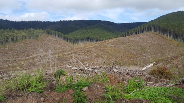
Somerset Trail
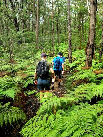
A pleasant circular walk through open and pine forest as well as pockets of rainforest. At around the halfway point, there are a series of lookouts over Somerset Dam to the north and Lake Wivenhoe to the south, with a backdrop of the far mountain ranges.
This area was heavily logged, hence the saw mill at The Gantry and evident by the 'plank' groves on some of the old tree stumps.
 3.1
km
return
2
hrs
3.1
km
return
2
hrs
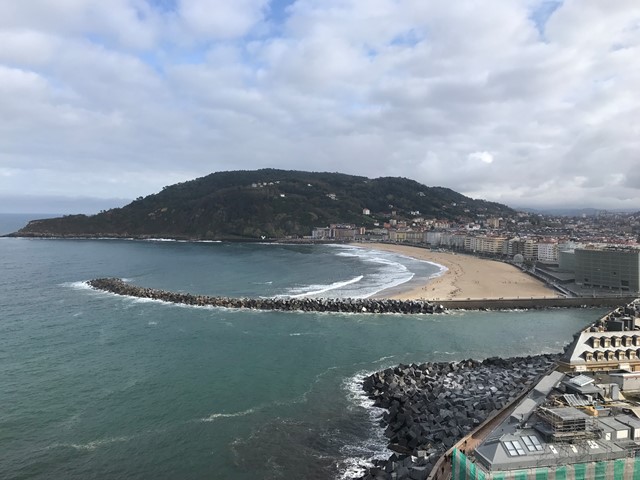
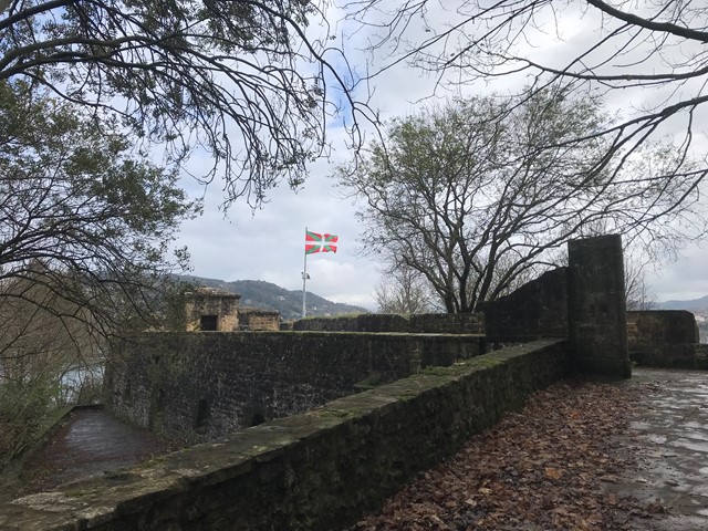
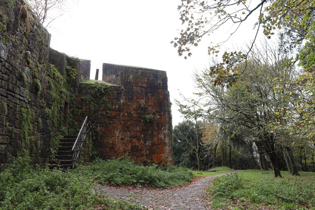
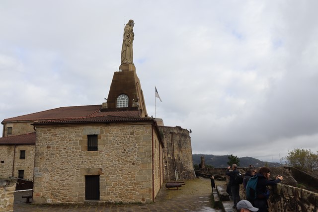
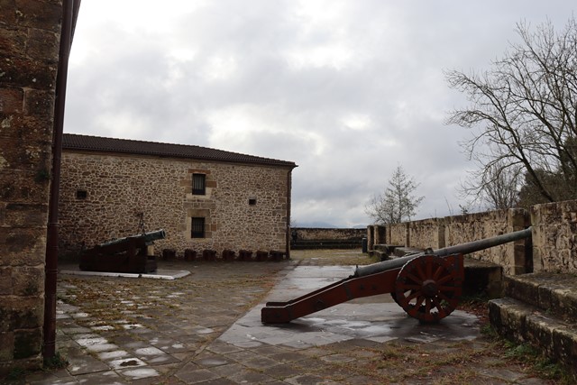
Monte Urgull Circuit
A historic headland with fortifications situated above the old town of San Sebastian.
 13
km
5
hrs
13
km
5
hrs
Cronan Creek Falls Track
From Yellow Pinch car park, a pleasant walk along the fire trail leads you past the base of South Ridge into green rainforest. (Note: the climb up South Ridge is rugged and steep and for experienced walkers only).
 6.8
km
return
4
hrs
6.8
km
return
4
hrs
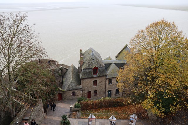
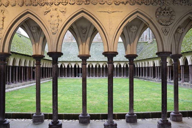
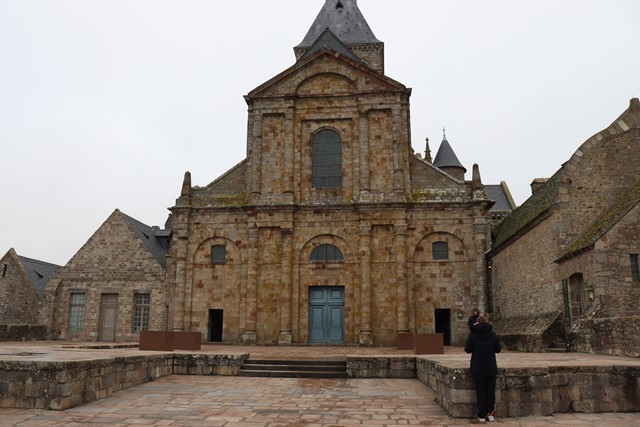
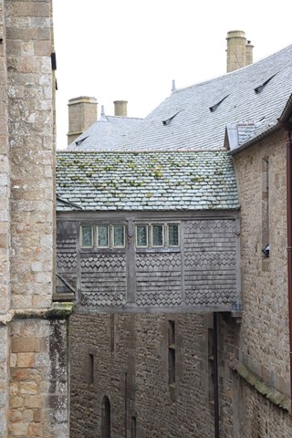
Mont Saint-Michel
Mont Saint-Michel a UNESCO world heritage site and starting point or end point of many GR trails and caminos. This abbey rests high on a tidal island surrounded by mud flats in Mont Saint-Michel bay.
 2.5
km
return
1
hr
2.5
km
return
1
hr
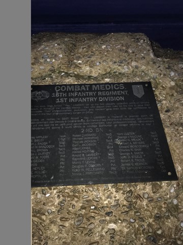
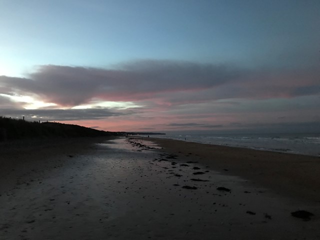
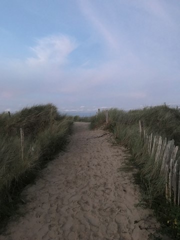
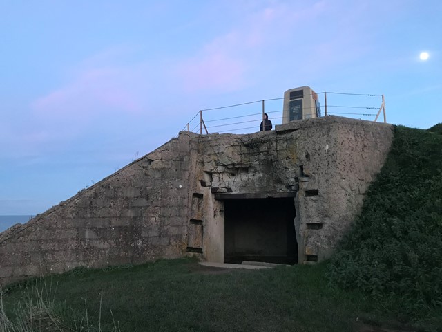
Omaha Beach Circuit
A short circuit around the historic Omaha Beach with the option to visit the Normandy American Cemetery and Memorial. This walk lies outside the paid memorial and instead focuses on widerstandsnest 62, the monument of the 1st U.S. infantry division and the beach itself with the combat medics memorial.
 5
km
return
2
hrs
5
km
return
2
hrs
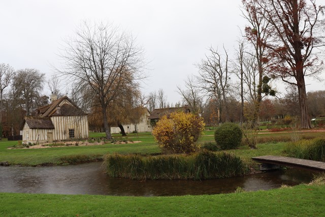
Domain of Chantilly
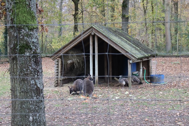
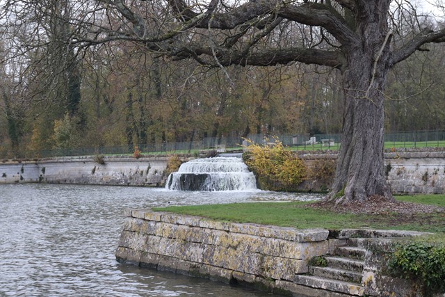
A wander around the Château de Chantilly estate where there is much to see from the Château de Chantilly itself to the many out buildings and water features as well as a kangaroo enclosure.
 1.6
km
return
25
mins
1.6
km
return
25
mins
Rainforest Circuit
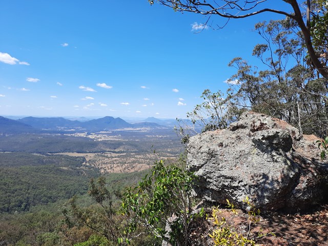
The circuit commences at the eastern end of The Crest car park. It passes the Allan Cunningham monument and is the beginning of an extensive track system on the northern side of Cunninghams Gap. The Fassifern Valley lookout is on the eastern part of the circuit and can be reached by climbing the stairs at the first track junction. The lookout provides a spectacular view over distinctive volcanic peaks, the Fassifern Valley and Lake Moogerah.
For an easier way round the circuit, turn left at the base of the stairs and walk the circuit in a clockwise direction.
 130
m
12
mins
130
m
12
mins
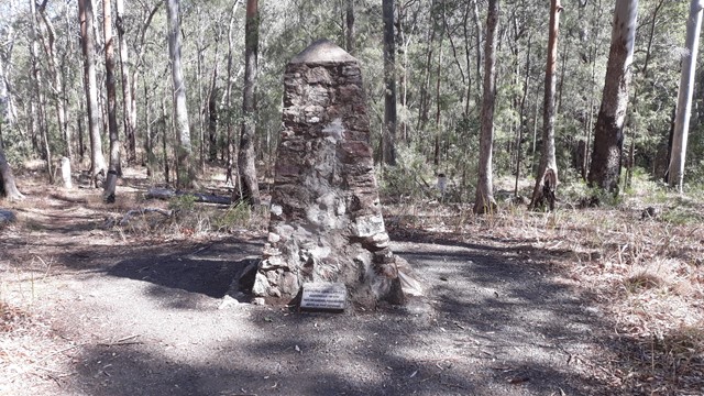
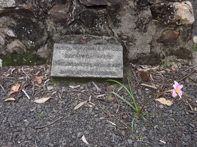
Pioneers Graves
130 meters south of the Pioneer picnic ground. A cairn stands to represent where the Pioneers of the area are buried.
 120
m
return
10
mins
120
m
return
10
mins
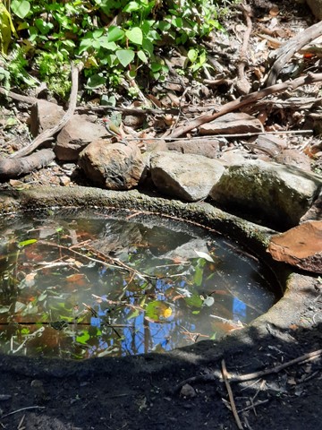
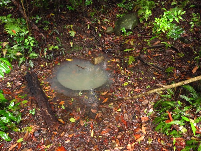
Moss's Well
Moss's Well, in tall open forest, is a haven for many species of birds. The well is believed to take its name from Edward Moss, the first road contractor. This was the only water for travellers and their teams making their way over the range. The well water is now unsuitable for drinking.
 300
m
return
15
mins
300
m
return
15
mins
Governors Chair Lookout
Magnificent views out over the Fassifern Valley.
Take a seat in the large rock at the edge which was popular resting spot for early governors on their journeys over the range at Spicers Gap.
Be careful as it is a sheer cliff edge.
 3.2
km
return
1
hr
3.2
km
return
1
hr
Heritage trail
From the Governors Chair car park an interesting self-guiding walk, showing various road construction methods, follows the historic road.