
Menu

 15.5
km
15.5
km
 2
days
2
days
Mt Gar - Briggs Bluff
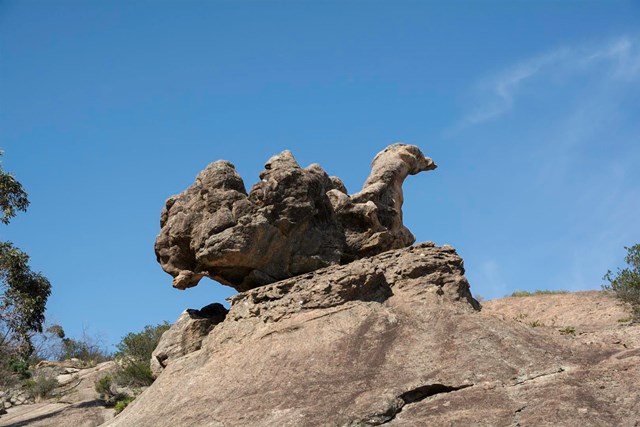
A classic overnight traverse of one of the most rugged landscapes in Victoria, this walk takes in an ascent of Mount Gar (Mount Difficult), panoramic views from Briggs Bluff and a lot of great walking through the wild sandstone country of Grampians-Gariwerd.
 4.8
km
return
2
hrs
4.8
km
return
2
hrs
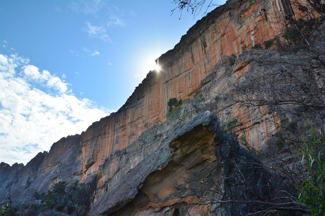
Mt Stapylton Summit
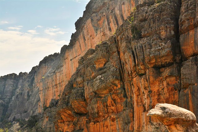
The shortest track to the summit. Spectacular views of Taipan Wall and an easy walk until you hit the exciting scramble near the top on good holds.
 4.4
km
return
2
hrs
4.4
km
return
2
hrs
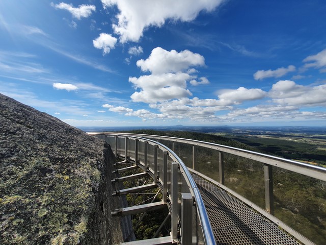
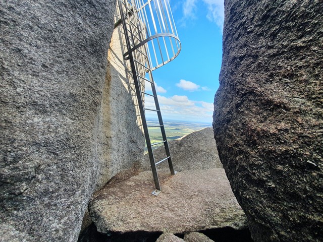
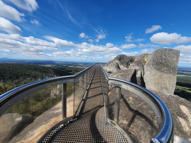
Castle Rock and the Granite Skywalk
A nice steady ascent to Castle Rock followed by a scramble up to the skywalk perched high on the top of the rock formation.
 3.7
km
return
1
hr
3.7
km
return
1
hr
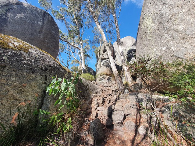
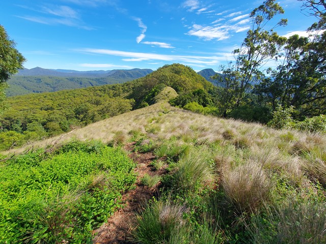
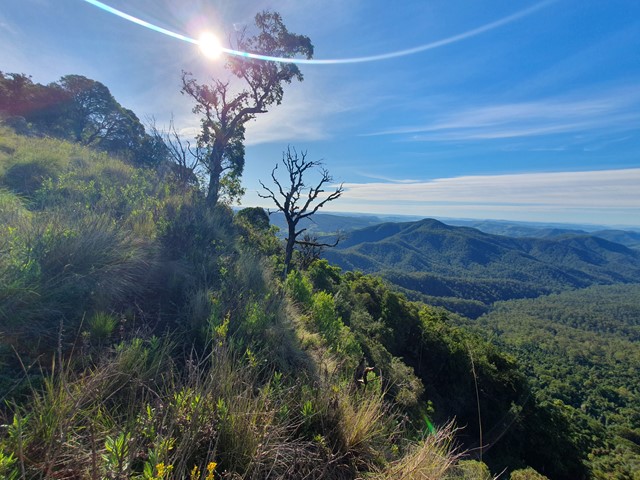
Pieries Peak
A nice short and relaxing stroll up to the top of Pieries Peak in the Mt Royal National Park to get some great views of the surrounding range.
 5
km
return
3
hrs
5
km
return
3
hrs
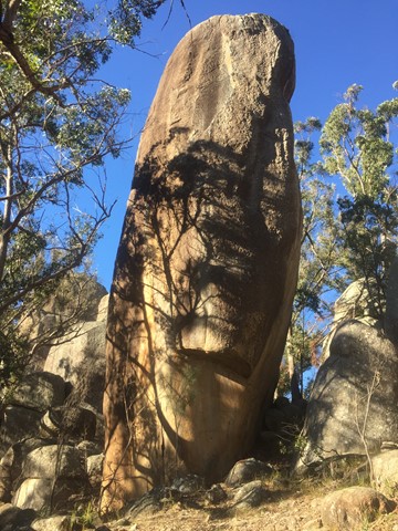
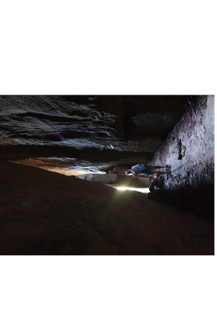
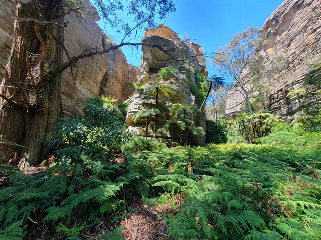
Aztec Temple
An off track walk from the end of the Underground Creek Trail containing a field of fascinating large stone pillars of various sizes, some of which (Main Pillar) can only be scales with ropes and shackles.
 2
km
return
1
hr
2
km
return
1
hr
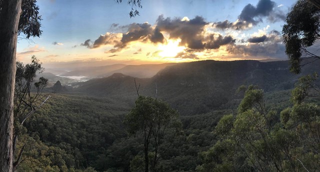
Bellbird Lookout
THIS TRACK NO LONGER EXISTS
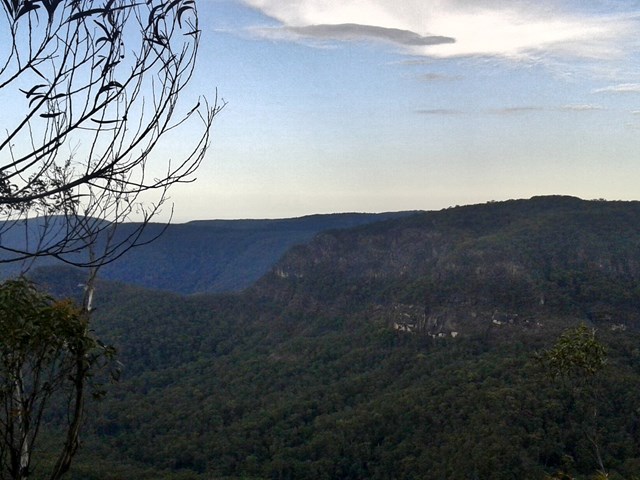
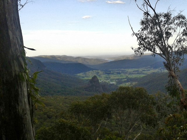
This track branches off the Ships Stern circuit and descends through rainforest and open forest before emerging suddenly at Bellbird lookout—a natural lookout (with no handrails) above a very high, sheer cliff. Please keep children under close supervision and keep well away from the cliff edge.
The land around this lookout and most of the track is not part of the national park—it belongs to Binna Burra Mountain Lodge. For enquiries, please contact Binna Burra Mountain Lodge on (07) 5533 3622.
From here you get an excellent view of Ships Stern, Turtle Rock, Egg Rock (Kurraragin) and Numinbah Valley—all remnants of what millions of years of erosion, landslides and weathering have created.
Hoop pines Araucaria cunninghamii can be seen from the lookout, growing on the exposed northern slopes. Harvesting of hoop pine and red cedar Toona ciliata led to the initial European settlement and ultimately the clearing of Numinbah Valley for agriculture.
 19
km
return
9
hrs
19
km
return
9
hrs
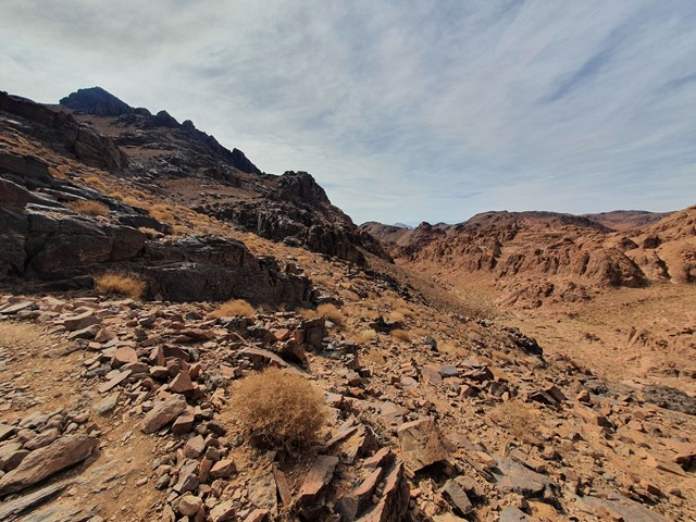
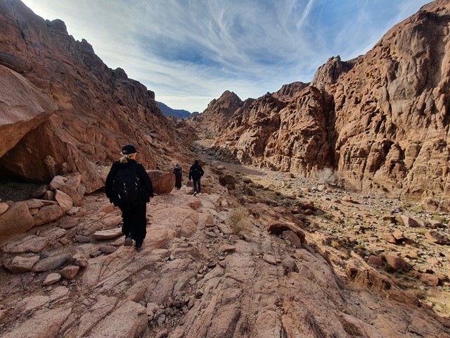
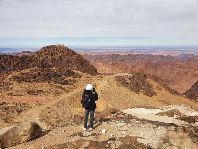
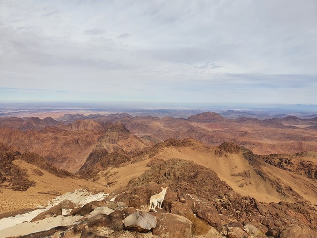
Mt Catherine
A long challenging day walk to the highest mountain in all of Egypt.
 2.7
km
return
2.5
hrs
2.7
km
return
2.5
hrs
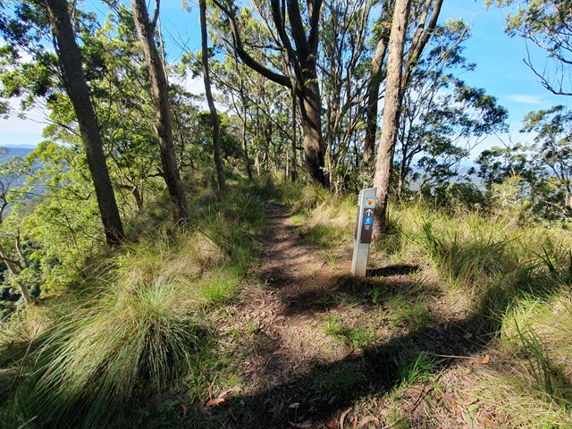
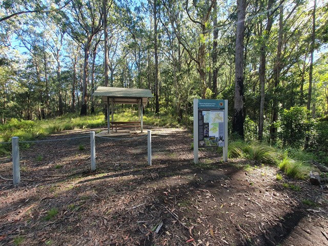
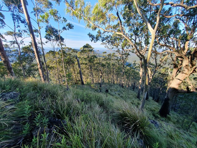
Mt Royal
A short but steep ascent up Mt Royal - the namesake of the Mt Royal National Park just south of the Barrington Tops.
 11.6
km
return
4
hrs
11.6
km
return
4
hrs
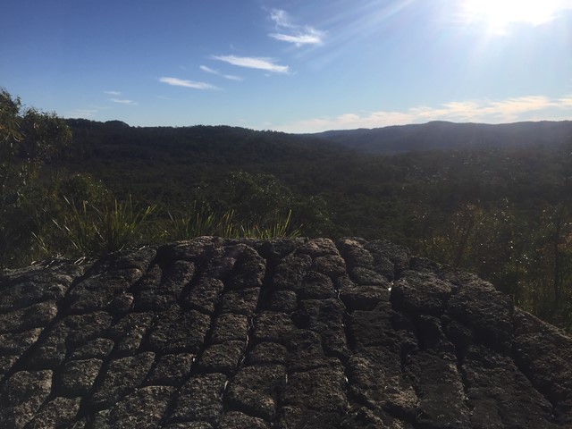
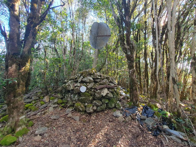
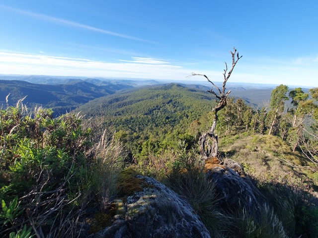
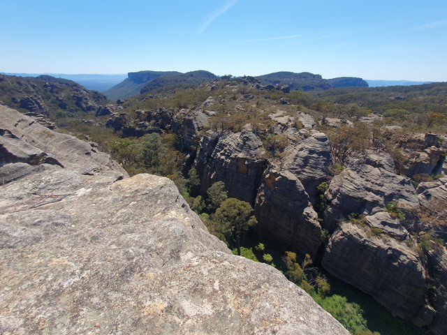
Genowlan Mountain and the Valley of the Dinosaurs
A scenic off trail adventure to check out some of the nice view points around the Valley of the Dinosaurs.
 11
km
return
5
hrs
11
km
return
5
hrs
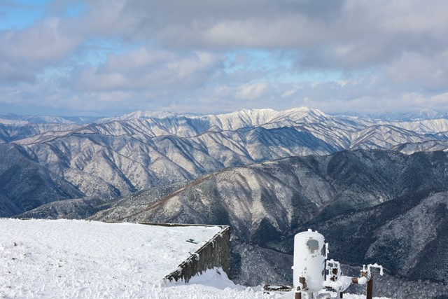
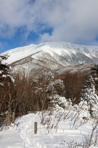
Mt. Ibuki 伊吹山 (Kyogoku Clan Castle Ruins Approach) - Shiga Prefecture
Mount Ibuki, located in Maibara near Lake Biwa is one of Japan's 100 famous mountains. It has great views over the surrounding mountains and lake. Unfortunately the summit has undergone a lot of development and is more akin to a shopping centre. There is a road that leads to the summit and it isn't rare to find women knocking about in high heels and fashion not suitable for climbing mountains.
There are also lots of abandoned buildings on the mountain such as omiyage gift shops and a gondola station which housed the old ski lift. If you are adventurous you can explore the abandoned buildings.
 6
km
return
2
hrs
6
km
return
2
hrs
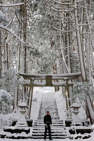
Nakasendo Trail (Yabuhara-juku to Narai-juku section, Nagano Prefecture) 藪原宿 -> 奈良井宿 中山道
The Nakansendo is an old road that runs from Tokyo to Kyoto. The section, Yabuhara to Narai takes you through a beautiful forested area with views of Mount Ontake into the perfectly preserved area of Narai-juku, which still has some of the original buildings from the Edo period.
 4
km
return
1
hr
4
km
return
1
hr
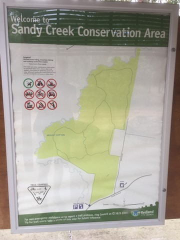
Sandy Creek Conservation Area (Redland Bay)
Management trail through eucalypt bush.
 5
km
return
1
hr
5
km
return
1
hr
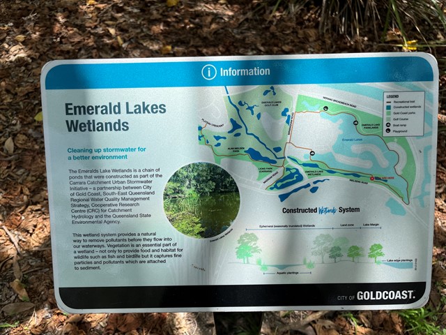
Emerald Lakes Wetlands Walk
Walk around the main lake through wetland and along built up area. Water views.
 4
km
return
1
hr
4
km
return
1
hr
Paradise Point Foreshore Walk
.Walkway around a peninsula along the broadwater. All sealed through parks, dunes and built up areas.
6
km
return
90
mins
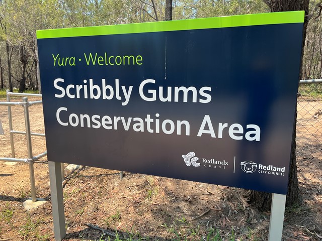
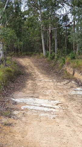
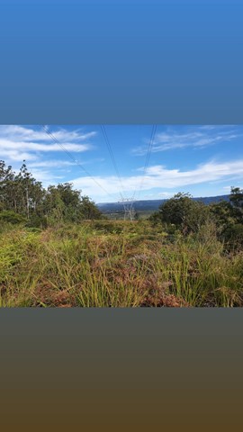
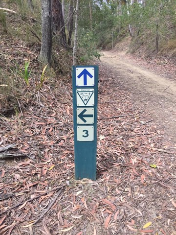
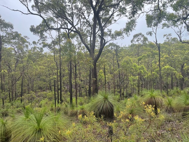
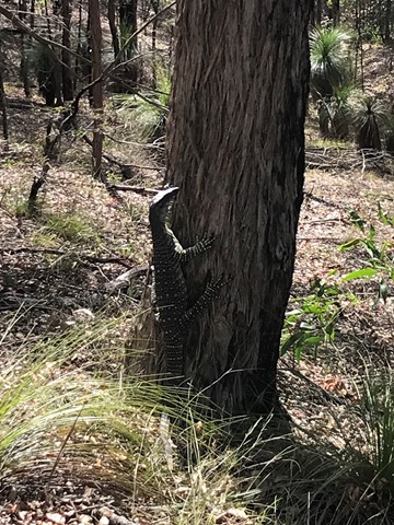
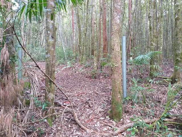
Scribbly Gums Conservation Area (Redland Bay)
The main track follows the power lines but there are lots of bike trails with beautiful bush scrub to explore. Trails marked, overview map lacking.
 13.5
km
return
3
hrs
13.5
km
return
3
hrs
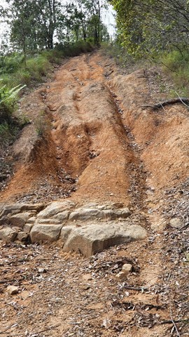
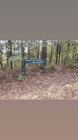
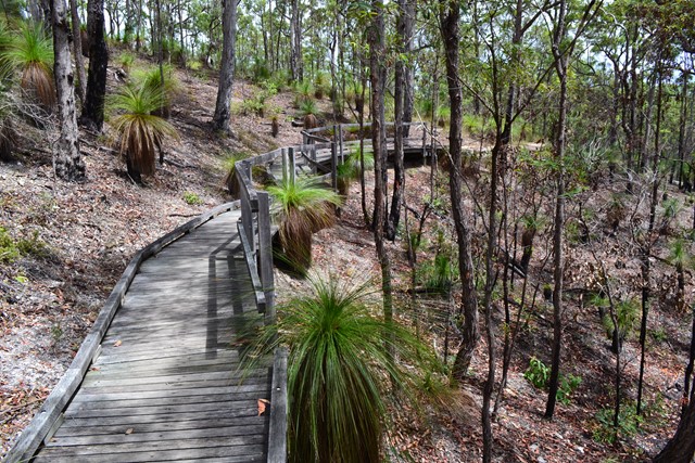
Bracalba Running Trail
This is where the Glasshouse Mountains Parkrun is held on a Saturday morning. It's a lovely hiking area too that includes rainforest and bush surroundings. There's some great steep hills and a couple of different tracks adjoining to make your hike longer if you desire.
NOTE: these tracks have been closed from 20 December 2024 due to a significant weather event. Correct as of 5 January 2024.
 7.1
km
return
2
hrs
7.1
km
return
2
hrs
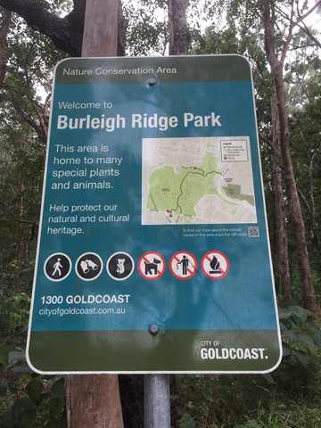
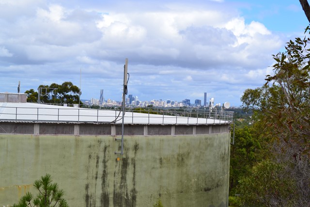
Chermside Hills, Raven St Reserve, and Milne Hill Circuit
A surprisingly diverse walk in the heart of the 'burbs' with the ability to totally lose oneself from the hectic pace of modern life, the sounds of traffic, the visual pollution of human settlement. On the two times I have done this walk I have come across a mob of wallabies in different sections of the walk.
 3.2
km
return
1
hr
3.2
km
return
1
hr
Flinders Peak Walk
Flinders Peak walk is a short, moderate walk up the highest peak in The You Yangs with excellent views over the park. You may even spot local wildlife such as echidnas.
11.5
km
return
4.5
hrs
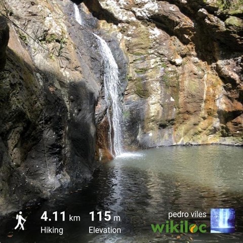
The Cream Track
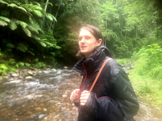
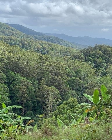
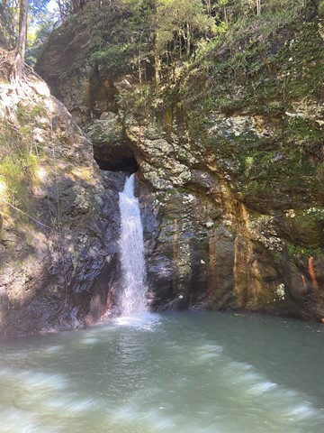
The Cream Track is the name given to a track from the Tallebudgera Valley, up to the Springbrook Plateau, following a route that early dairy farmers used to get their product down to the coast. It is a challenging track, because of its gradient, and especially challenging after rain.