
Menu

 2.5
km
return
2.5
km
return
 1
hr
1
hr
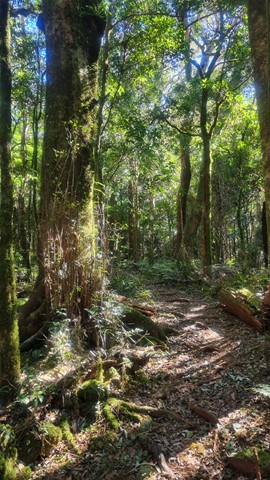
Adjinbilly Circuit Track: Private property
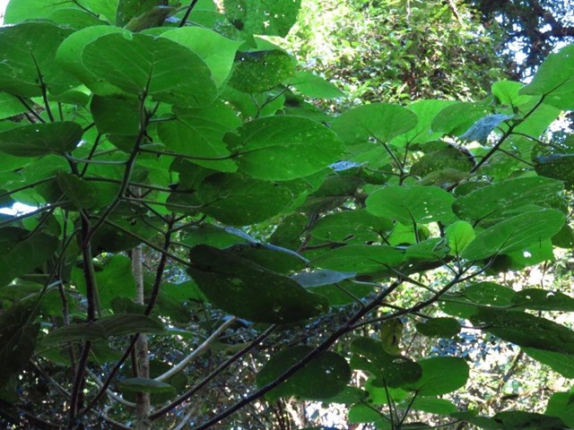
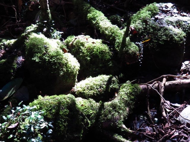
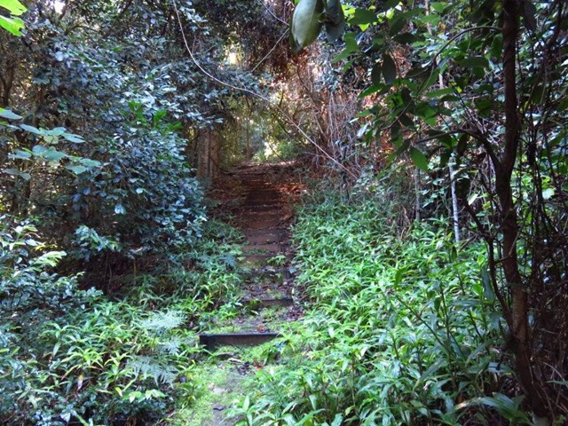
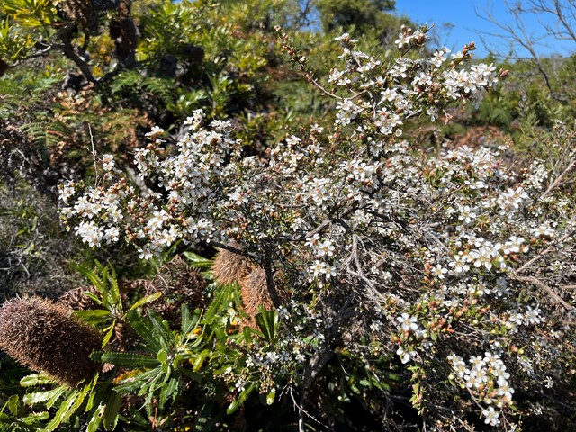
This is an ungraded track mostly following old logging tracks along the creek. This beautiful walk has a myriad of highlights, from the many cascades and the beautiful views of the creek to the amazing strangler figs and the magnificent epiphytes high in the trees. It is accessed for guests staying at Adjinbilly Retreat
It is a walk with plenty of ‘ups and downs’, and you might get your feet wet as you cross the creek. There are seats at selected beauty spots – wonderful places where you can reflect and soak up the ambience or take special photographs.
 1
km
return
30
mins
1
km
return
30
mins
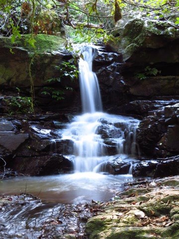
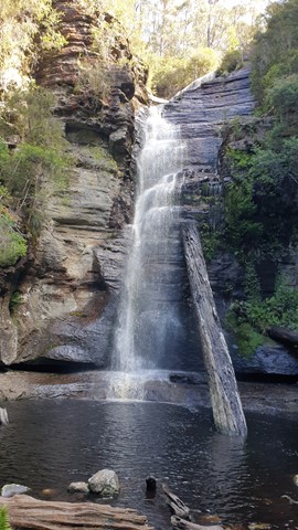
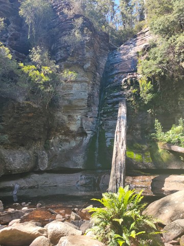
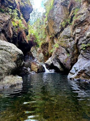
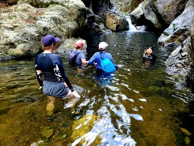
Adjinbilly Cascades: Private Property
Adjinbilly Cascades are reached by a short 2 minute walk from the Ruby campfire area while staying at Adjinbilly Retreat. It is a beautiful place, deserving to be called the ‘heart’ of Adjinbilly. It is a ‘must’ to visit early in your stay, with the small cascading waterfalls and enveloping rainforest creating a unique, secluded setting. You can walk up to the falls (beware of slippery rocks), get wet or sit and enjoy the special feeling of just being there.
There is a table and chairs where you can share a meal (perhaps a candlelight dinner for a special occasion).
 4
km
return
1
hr
4
km
return
1
hr
Snug Falls
One way walk there and back to see Snug Falls. Easy, well maintained trail. Start is at elevation 270m, Snug Falls at elevation 190m.
Access via Snug Falls Road (branching left from Snug Tiers Road), with the trailhead just up the hill slightly from the designated parking area.
 4.5
km
return
90
mins
4.5
km
return
90
mins
Shag Bay Heritage Walk
An easy walk for families, with panoramic views of the Derwent River throughout the length of the walk. Park at the end of Geilston Bay Road. The track is well signposted, with directional and heritage information signs throughout. The track is mostly flat but slightly undulating at the start with a short but fairly steep descent to Shag Bay at the end. The last part is within the East Risdon Nature Reserve. All flora and fauna are protected and dogs are prohibited. This area is also rich in Aboriginal history.
Follow the heritage walk signposts from Geilston Bay to the southern side of Shag Bay and a sign titled 'The Midden'. Continue from the sign to the Aboriginal quarry and the Shag Bay foreshore, then up a short slope above the old boiler to the quarry. The boiler is part of the remains of an early 20th century bone mill.
 3.1
km
return
1
hr
3.1
km
return
1
hr
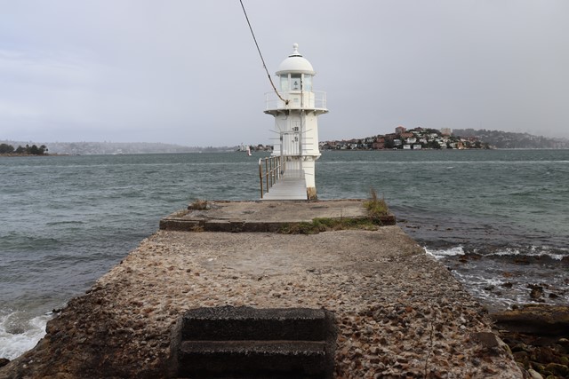
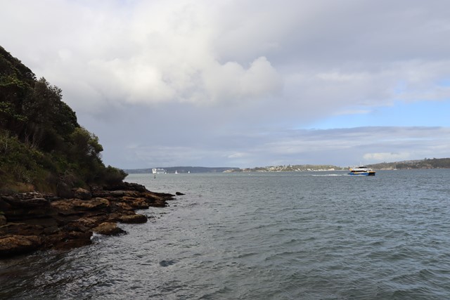
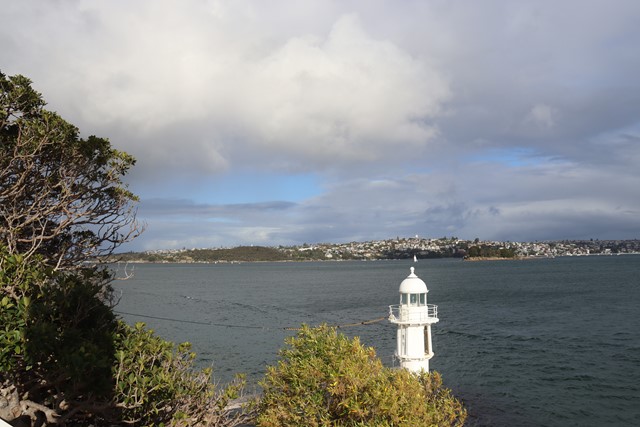
Bradleys Head Loop via Taronga Zoo
The trail begins and ends at the Taronga Zoo wharf, which you can access from various locations around Sydney. Before venturing into Sydney Harbour National Park and looping around Bradleys Head offering views back to the city, opera house & harbour bridge.
 10
km
5
hrs
10
km
5
hrs
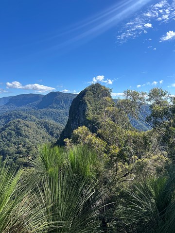
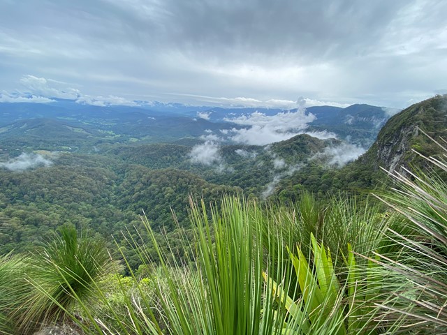
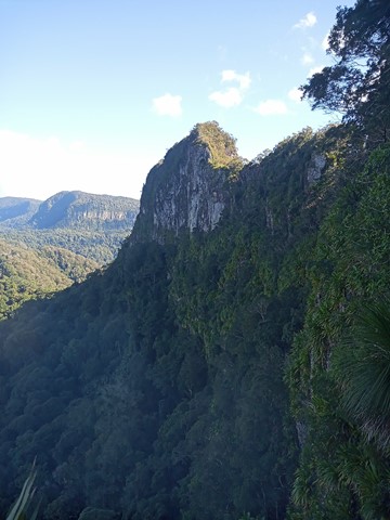
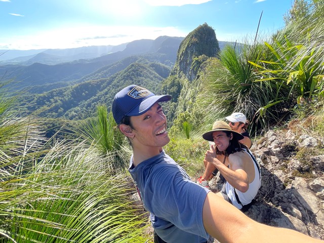
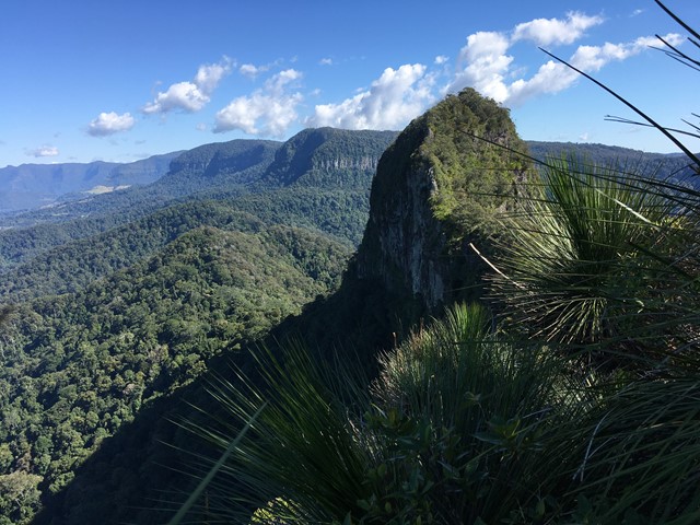
Mt Cougal
A walk along the border fence line to the twin summits of Mt Cougal. There are excellent views from the top!
It is hard for beginners. Make sure you check weather. Finding location is a little hard. When arrive see steel gate that states ‘please keep gate clear ta’ On side of gate you can enter, when pass the gate look to your left and see sign with with instructions. Don’t be discouraged when you start, it is a little scary, but it gets easier, but still lots of hill. Follow the barbed wired fence on your left the whole way. The track will go from very narrow to comfortable in some places. Once you reach the last 700 metres or so... it becomes much harder. You will see a thin rope to guide you - do not use this to pull you up as it will break!! You will come to a spot where the track will seem to end. Look for a tree that has arrows etched into it to guide you where to go. There’s also a small pink ribbon tied to a tree branch Up further. You have to go up! It’s hard but worth it.
 300
m
return
20
mins
300
m
return
20
mins
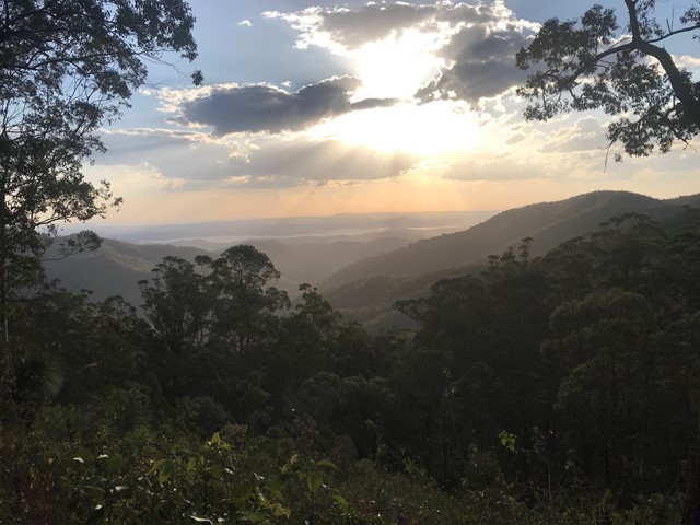
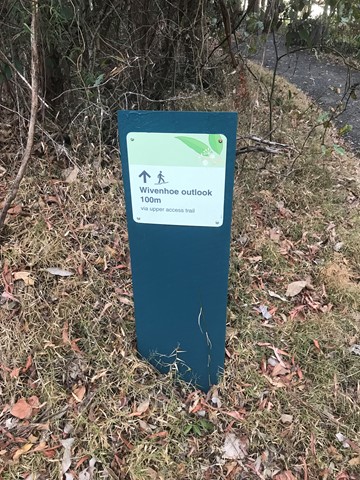
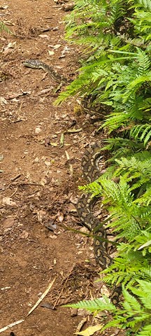
Wivenhoe Outlook
Visit the lookout for panoramic views of Northbrook Valley's green ridges and the reflective waters of Lake Wivenhoe.
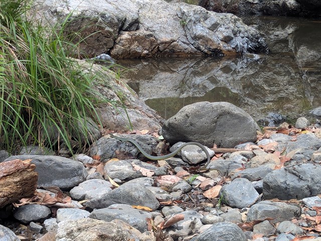
Spy carpet pythons basking in the sun, or pink-tongued lizards carefully camouflaging themselves in the leaf litter. Listen for the unusual cat-like mewing cry of the catbird in the valley below.
 12
km
4
hrs
12
km
4
hrs
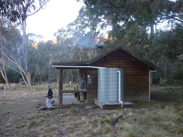
Brandy Flat
Great walk to a beautiful hut, great for overnight (bring a a tent, not recommended to use huts except in emergency). Can also walk in/out via Caloola Farm, 6kms. Very cold in winter!
 8
km
2
hrs
8
km
2
hrs
Horse Gully Hut
Walk along Naas River. Info posts along the way. All on fire trail. Also goes past Demandering Hut. Both huts are in good condition, recommended to take a tent though & avoid staying in the huts except in case of emergency. Most Namadgi huts have basic supplies - matches, info, wood etc.
8
km
2
hrs
The Rocks Circuit (from Illaweena Street)
Starting from Stretton Reserve on Illaweena St, head to the far end of the picnic area and across the bridge over the lagoon. Start following the power lines and head slightly up hill. About 700 metres in, follow the sign to the right Dianella Trail. There's an interesting and rather random car wreck in here. Keep following it at any sign posts by heading to the Wallaby track.
When you reach the Wallaby track, head right for 170 metres then left for 120 metres onto the Rocks circuit. Head right (ignore the path in front of you) and keep following it around. Stick to the Rocks Circuit. You'll eventually come to an unsigned junction. Don't go uphill to the left (that will take you back to the Wallaby track) but head right down the gully and then up some stairs. This will eventually take you to an excellent little picnic area at the highest point in the park, with a nice view of the local area.
From the picnic area, head west on the Entolasia track towards the reservoirs and mobile phone towers. After the mobile tower (but before the huge/second water reservoir) head left where the sign says Wallaby track, but don't head onto the Wallaby track. There'll be a green arrow painted on a tree. Follow that arrow and head down the Casuarina track. If you ever wander off track, just follow the main track under the power lines until you get back to the bridge and lagoon.
 8.03
km
return
2.09
hrs
8.03
km
return
2.09
hrs
Casuarina, Lomatia, Curtisli, Mahogany, Casuarina Trails
Curtisli is a hard trail in some places as indicated on the maps, but worth it to reach Yagara Rocks Lookout.
Illaweena Street trailhead.
 8.62
km
return
2.27
hrs
8.62
km
return
2.27
hrs
Rocks, Dianella, Lomatia, Bracken, Entolasia, Rocks Trails
Trails added together to make walk longer.
Acacia Rd Trailhead
 2.6
km
return
1
hr
2.6
km
return
1
hr
Arakwal NP Circuit
Arakwal blends the convenience of Byron Bay with the appeal of a secluded beach retreat, offering birdwatching, whale watching, swimming, fishing, and picnicking. Remnant of Coastal clay heath.
 6
km
3
hrs
6
km
3
hrs
The Northbrook River Trail (Northbrook Gorges)
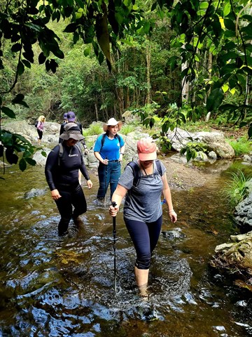
Northbrook Gorge walking and swimming. Beautiful scenery and vegetation. Make sure you pick a nice warm day and bring sturdy shoes your are willing to get wet. the gorges at the end are "gorge-ous", first one you can wade (keep right), second one you definetely in for a swim if you want to cross it.
 15
km
return
2
days
15
km
return
2
days
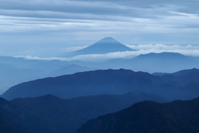
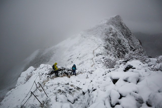
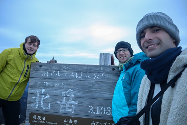
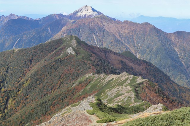
Kita-dake 北岳 (Yamanashi Prefecture)
Kita-dake is one of the hundred famous mountains located in the Minami Alps National Park. Kita-dake is the second tallest mountain in Japan at 3,193 metres. It contains a wealth of rare and endangered animals and flowers.
The peak has some of the best views in all of Japan, featuring a stunning sunrise where the sun rises over Mt. Fuji.
Note that this hike can only be done during the summer months, from July until mid-October. From mid-October until June, snow can be found on the mountain.
 13
km
4.5
hrs
13
km
4.5
hrs
Bare Rock track and Morgan's Walk
Bare Rock is a minor peak North of Cunningham's Gap with great views towards the Mistake Mountains.
 32
km
return
4
days
32
km
return
4
days
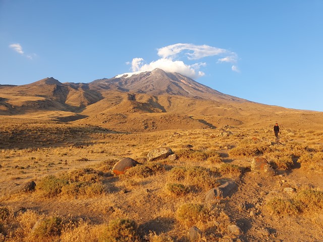
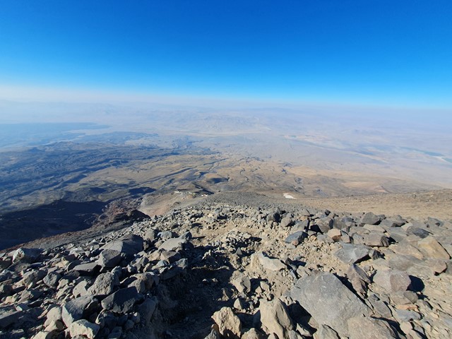
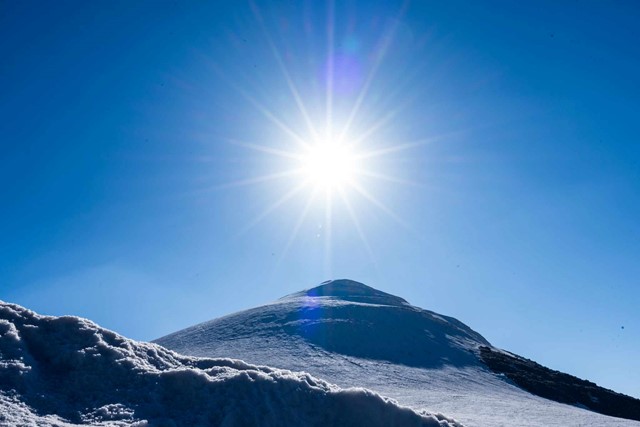
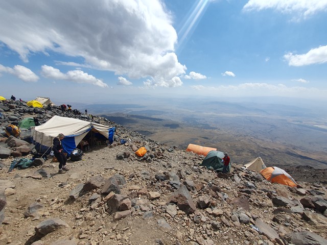
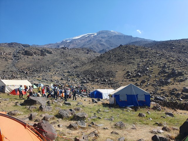
Mt Ararat
A long difficult multi-day ascent of the highest mountain in Turkey and the supposed final resting place of Noah's Ark.
 3.8
km
return
90
mins
3.8
km
return
90
mins
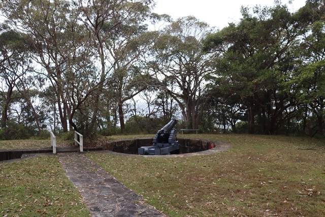
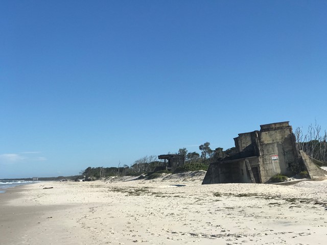
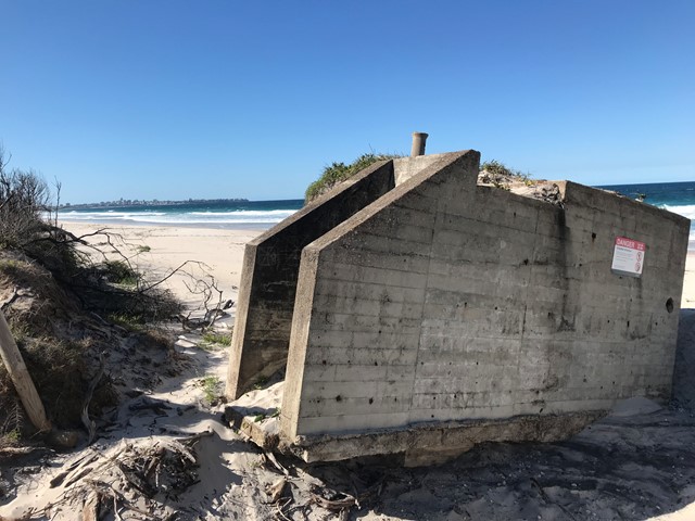
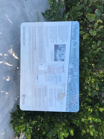
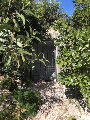
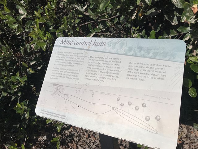
Fort Bribie Walk
Take a self-guided walk through the remnants of heritage-listed Fort Bribie. See gun emplacements, mine control huts, army field camp foundations and searchlight buildings. Signs along the walk give an insight into Fort Bribie and the men and women who served here from 1941 to 1945. Track markers on the beach help to locate the walk's access points.
Bring mosquito repellent the bugs here are notoriously plentiful.
 6.5
km
return
3
hrs
6.5
km
return
3
hrs
Waterfall Hike, Belair National Park
The most challenging trail in the park takes you through Echo Tunnel and to the picturesque rock escarpments of the Upper and Lower Waterfalls.
The falls tend to only flow after heavy rainfall.
Most of the trail is on dedicated walking trail, but a few short sections near the lower end of Queen Jubilee Drive are on fire track, and are shared trails with cyclists.
You can walk your dog in this park providing it remains under your control on a lead.
Take care at both waterfalls, the escarpment lookouts are not fenced and can be slippery near the cliff edge.
The trail starts at the Pines area.
1
km
return
30
mins
Cunnamulla Bushlands
1klm gravel path walking track showcasing Mulga Lands, Sandhills, Gidgee Stands, Mitchell Grass Plains, Brigalow Country and Wetlands.