
Menu

 10.7
km
return
10.7
km
return
 6
hrs
6
hrs
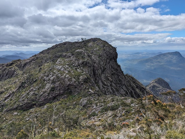
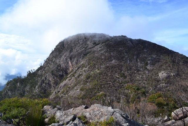
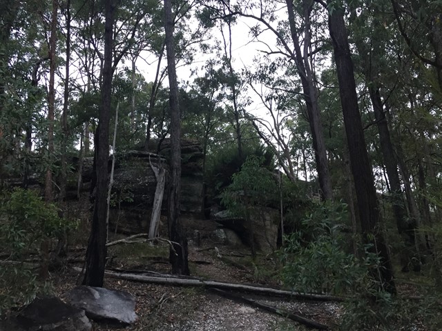
Mt Barney North Peak
This challenging route offers all the views normally associated with a climb up Logan's Ridge without the extremely precipitous sections. There are a few exposed sections where a rope may be handy, particularly if the rock is wet.
 2.9
km
return
3
hrs
2.9
km
return
3
hrs
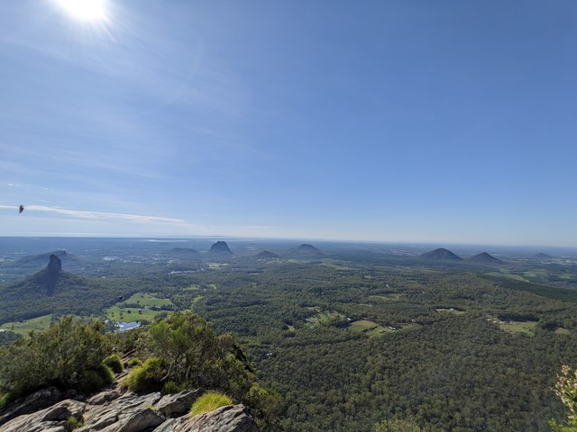
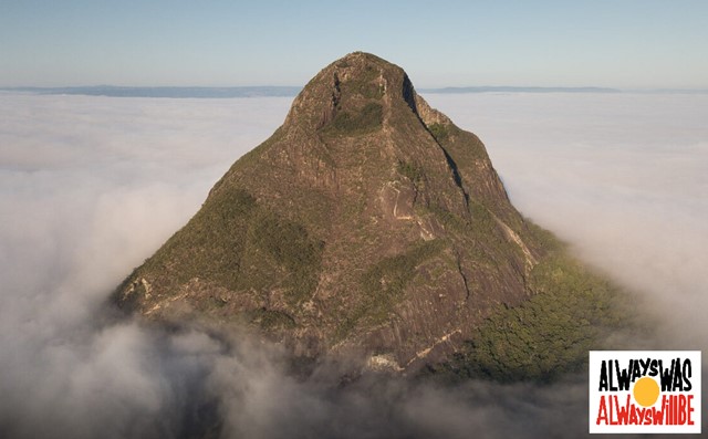
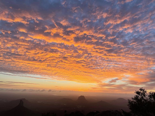
Mount Beerwah Summit
The highest of the Glasshouse Mountains, the Mt Beerwah summit walk is slightly easier than Mt Tibrogargan but still quite challenging. It has extensive views of the Sunshine Coast Hinterland and Glasshouse Mountains.
 500
m
return
20
mins
500
m
return
20
mins
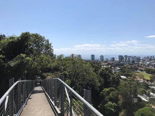
Tom Beatson Lookout Razorback Hill
A short stroll up the walkway to and around the Joongurranahreean Plateau which offers great views to the coast and inland.
 7
km
return
2
hrs
7
km
return
2
hrs
Wickham Peak - Calytrix Circuit (Wickham Timber Reserve)
A sandstone adventure that climbs to the top of Wickham Peak which gives views of Brisbane City to the North and Mt Barney to the South. Once on top of the ridge the trail traverses heath country which has wildflower displays in Spring.
This walk is best in early morning or late afternoon in the summer months as it can be extremely hot in the middle of the day.
 8.4
km
return
7
hrs
8.4
km
return
7
hrs
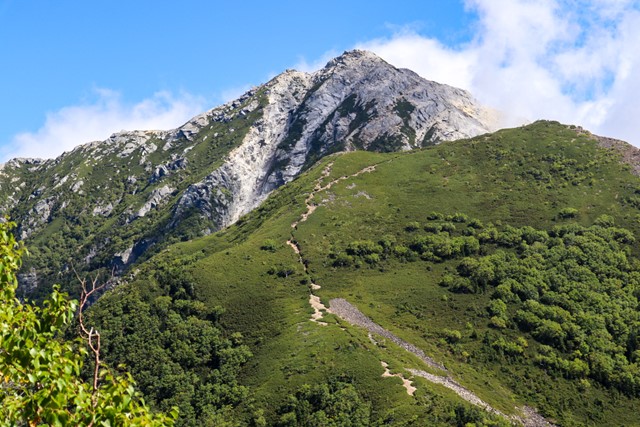
Mount Kai-koma-ga-take 甲斐駒ヶ岳 (Nagano/Yamanashi Prefecture)
Mount Kai-koma-ga-take is one of the 100 famous mountains. It is situated in the minami alps national park and is a great day hike. The peak is covered in white granite, from a distance it looks like it is covered in snow. Some scrambling near the top, but nothing technical.
Chance of seeing rare raicho birds.
 17.4
km
return
7
hrs
17.4
km
return
7
hrs
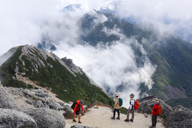
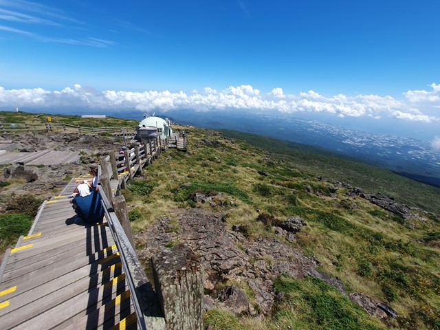
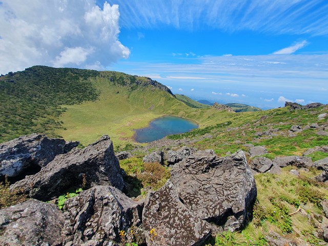
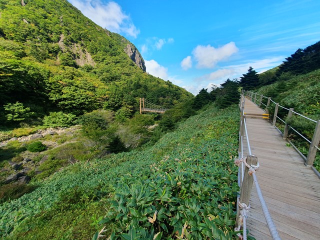
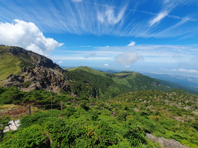
Hallasan Mountain
A nice day walk up to the summit of South Korea's highest mountain Hallasan located on Jeju Island.
 2.6
km
return
45
mins
2.6
km
return
45
mins
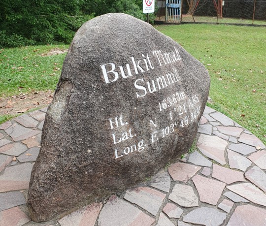
Bukit Timah
A hike up to the dizzying summit of the tallest mountain in all of Singapore at a staggering 164 meters.
 9
km
return
3
hrs
9
km
return
3
hrs
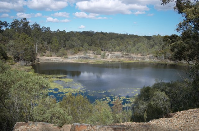
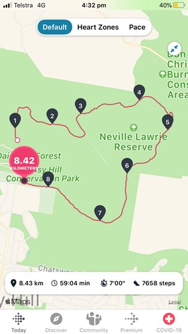
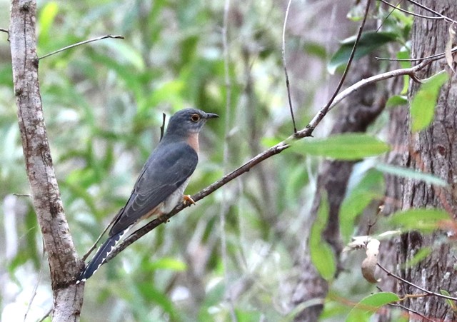
Buhot Creek Circuit
This trail starts from the upper day-use area and allows visitors to explore Daisy Hill Conservation Park and adjoining Neville Lawrie Reserve. Take time by tranquil waterholes and enjoy views from the old quarry.
 19.5
km
return
2
days
19.5
km
return
2
days
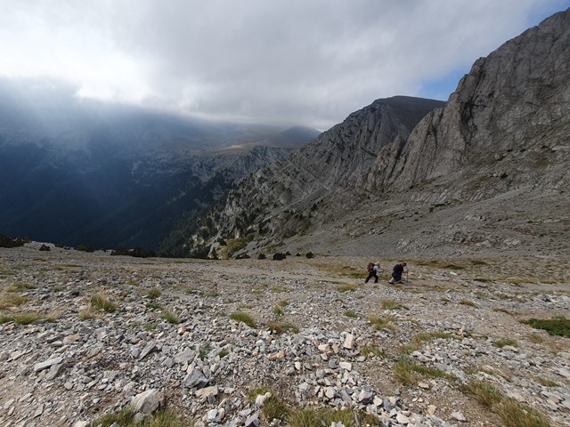
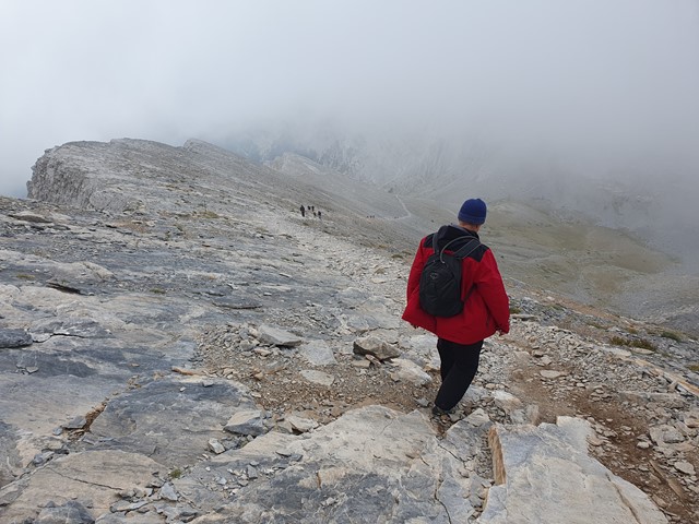
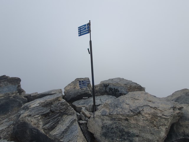
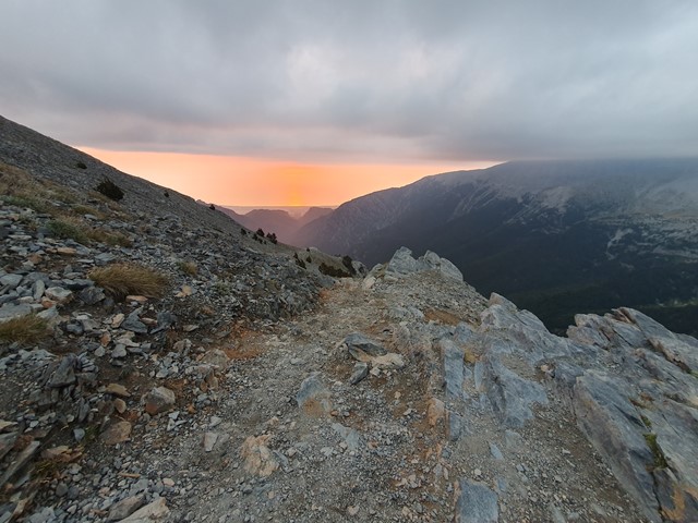
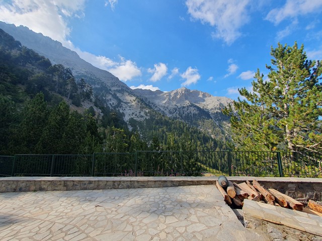
Mt Olympus
A 2 day hike/scramble to the roof of Greece and the home of Zeus.
 4.5
km
return
3
hrs
4.5
km
return
3
hrs
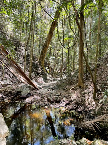
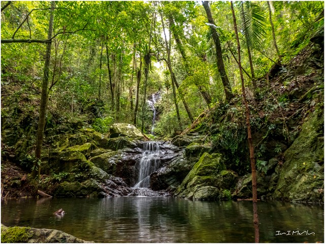
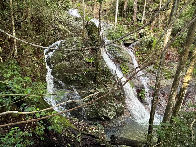
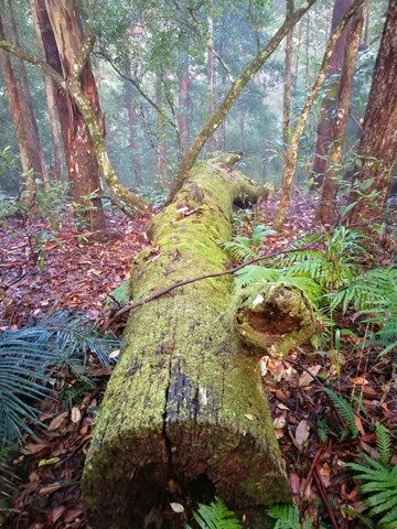
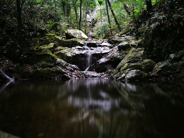
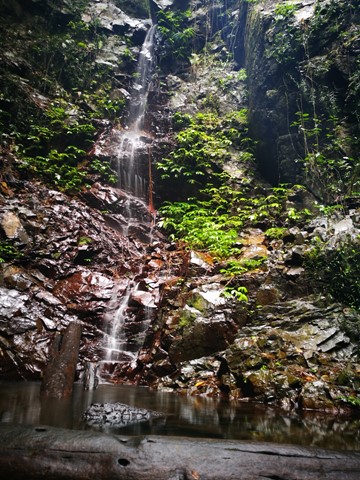
Upper Kobble Creek South Branch
A nice rainforest walk that starts along and old logging trail then ends up going bush for the last stretch downhill to the creek and waterfall.
 1.6
km
return
45
mins
1.6
km
return
45
mins
Skyline Lookout
From the car park a fairly level track leads to two viewing platforms that look south to Virgin Rock on Mount Zamia and the Springsure township, and north to the rich farming country beyond Eclipse Gap.
 2
km
return
45
mins
2
km
return
45
mins
Springsure Lookout
Fairly easy hike to the lookout when leaving the car at the scenic drive and walk further up. Has some nice views of the town of Springsure
 1.2
km
1
hr
1.2
km
1
hr
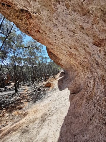
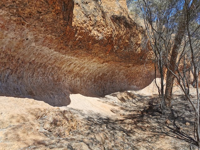
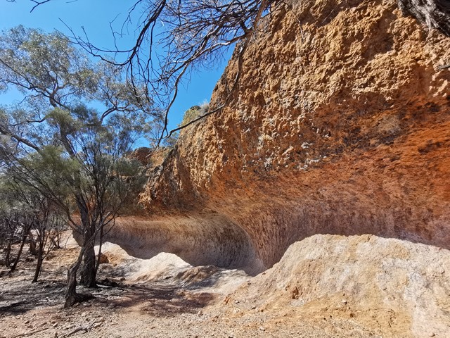
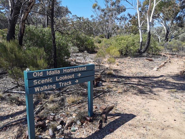
Wave Rock
This is an easy walk and one of three easy walks that make up this parks attractions. The tracks can be hard to find at times but the grading is easy although very stony, the wave rock feature is the highlight of this walk and provided great views of the surrounding park.
Wave rock walk—1.2km return (Allow 1–2hrs)
Grade 4
From Old Idalia, walk past the old ship’s tank to reach the cliff overhang shaped like a wave. Wind, sun and time are nature’s carving tool here; sunset is the paintbrush. Panoramic views from the top of the cliff give an idea of the size of the park and its diverse vegetation.
 200
m
return
30
mins
200
m
return
30
mins
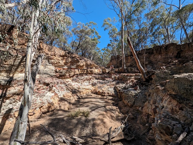
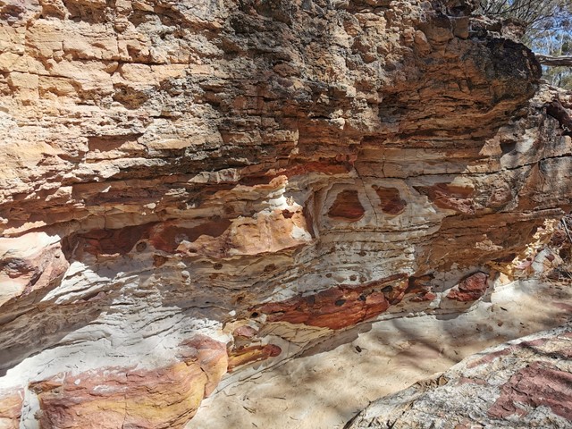
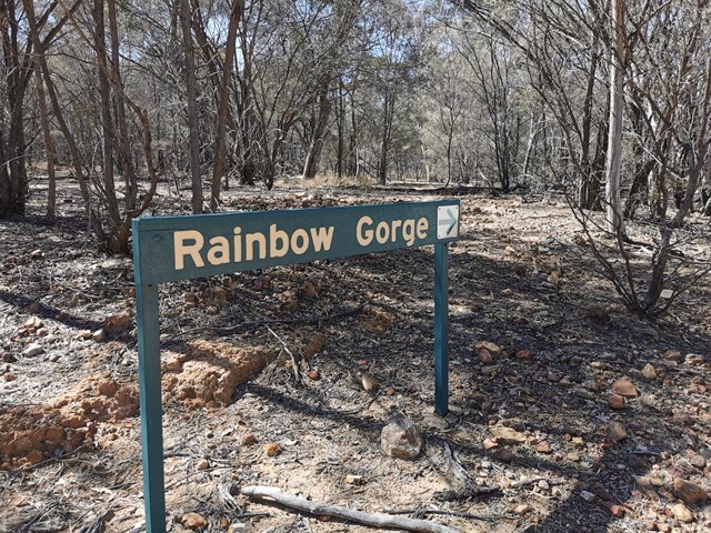
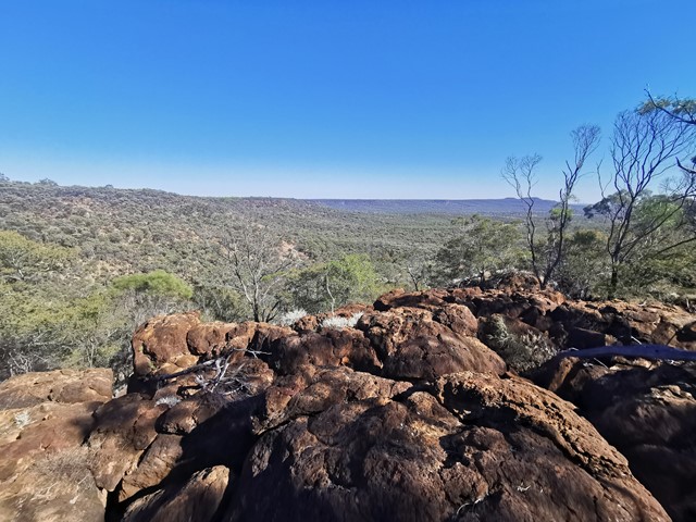
Rainbow Gorge
Rainbow Gorge walk—200m return (Allow 30–45mins to explore)
Grade 3
The entrance to Rainbow Gorge is about 4km north of Monks Tank camping area. Walk 100m downstream to see a mass of white, red and yellow-stained sandstone. The creek drains into the Barcoo River via Thornleigh Creek.
 4.4
km
3
hrs
4.4
km
3
hrs
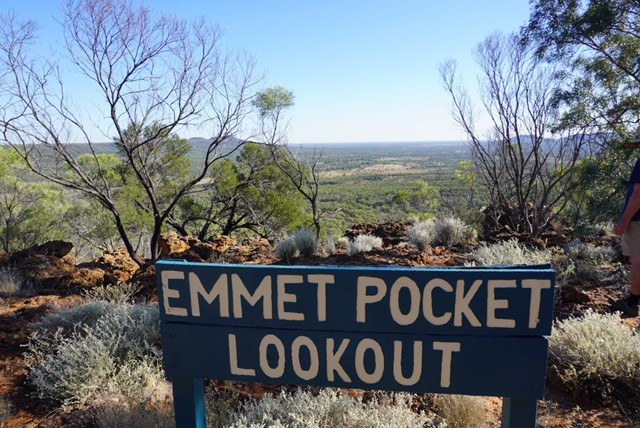
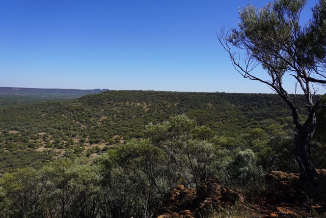
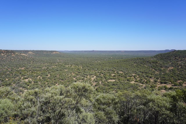
Emmet Pocket
Emmet Pock is in Idalia National park whick is 113kms south west of Blackall. This is a difficult walk with steep grades up and down the gorge walls but is well worth the effort. I found walking poles were worth there weight in gold. There are four walks to do while in this park all easier than this one.
Emmet Pocket walk—4.4km return (Allow 2–3hrs)
Grade 5
Beginning at Emmet Pocket lookout this steep meandering track leads into a gorge where the plains of the outback spread out before you—laid out like a map. Trees mark the waterways that stretch from rocks to river channels.
 2.7
km
return
90
mins
2.7
km
return
90
mins
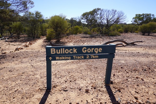
Bullock Gorge
Bullock Gorge walk—2.7km return (Allow 1–2hrs)
Grade 3
The start of Bullock Gorge walk is 14.7km north of the Monks Tank camping area. Rock markers define the walk along the Gowan Range’s ridge top through bendee shrubland. Take care here, as there are steep gorges on either side.
Look for small diggings of echidnas on the track. Watch the sun rise or set over spectacular gorges and look for yellow-footed rock-wallabies. While sitting, you have a wallaby’s eye view of the herbs they seek among the forest of trunks. Remember, bring a torch for sunset walks.
 1.5
km
return
40
mins
1.5
km
return
40
mins
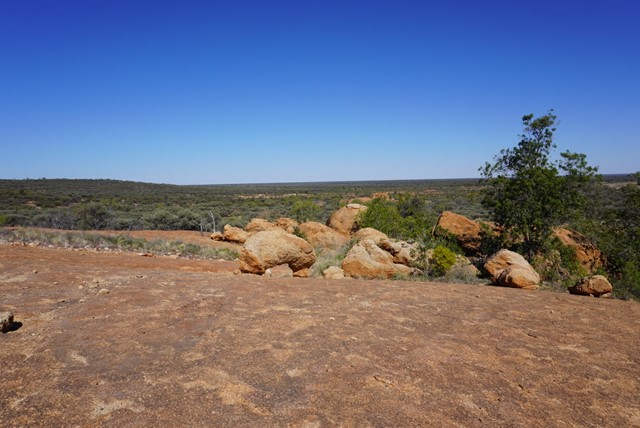
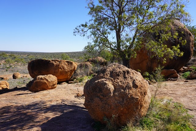
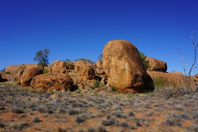
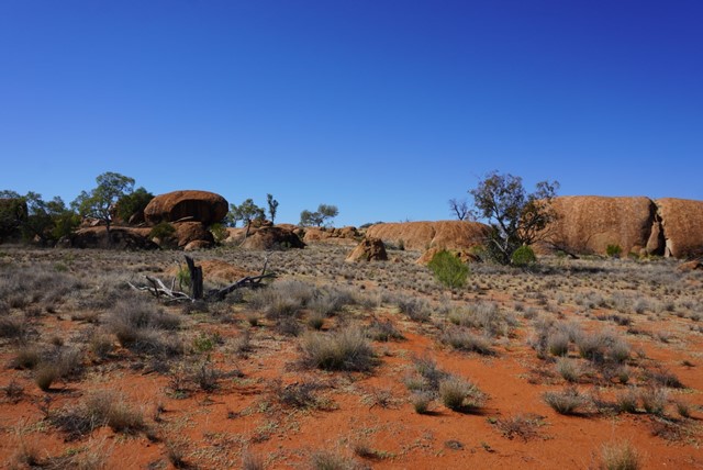
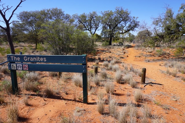
The Granites
The Granites
Grade 4
Distance: 1.5km return
Time: Allow 40 minutes
Visit The Granites, 10km north-west of Ten Mile Bore (pt 15km from ranger base) on the Boorara Road. Walk the 1.5km to a small outcrop of granite rocks, a unique feature of the park. Please respect the cultural significance of the area by not climbing on the granite rocks.
 360
m
return
10
mins
360
m
return
10
mins
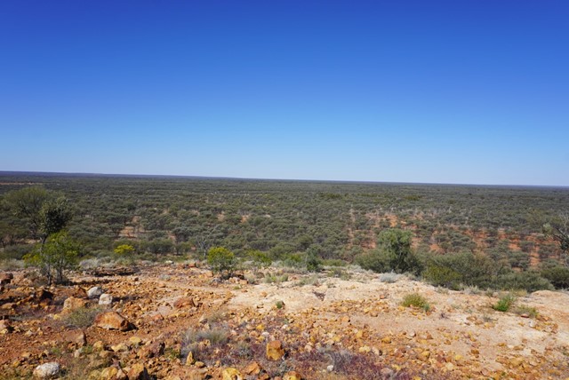
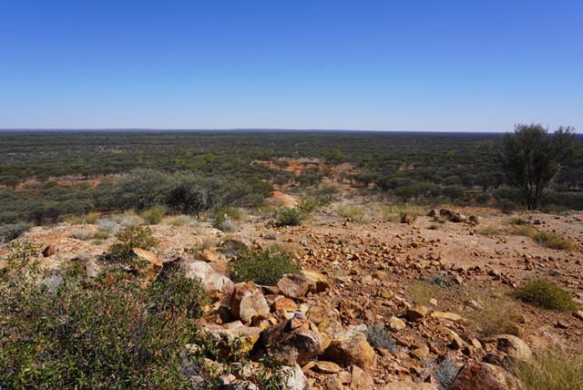
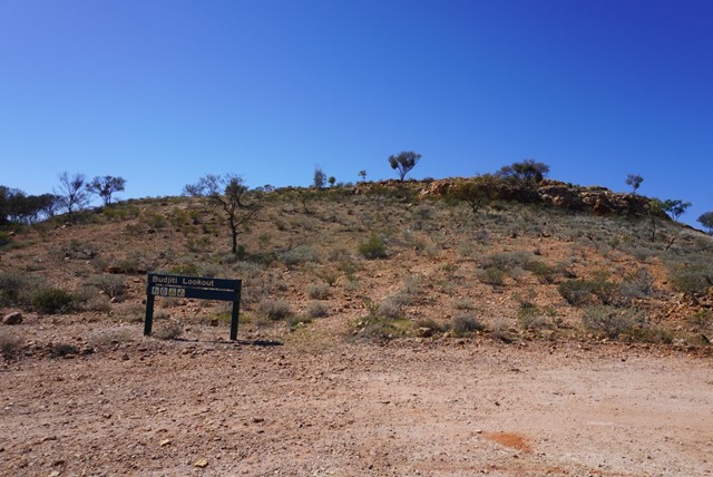
Budjiti Lookout
Budjiti Lookout
Grade 4
Distance: 360m return
Time: Allow 10 minutes
Take a short 180m walk up a rocky slope to the Budjiti Lookout and watch the sunset over an endless horizon. Located 44km north-west of the park office on the Boorara Road.
Remember to take water with you and walk carefully as the uneven track and rocks may be slippery.