
Menu

 7.13
km
return
7.13
km
return
 3
hrs
3
hrs
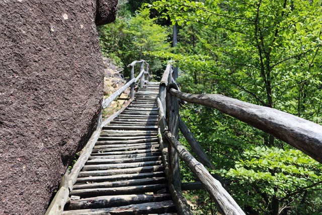
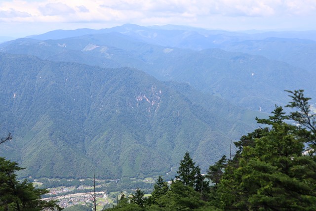
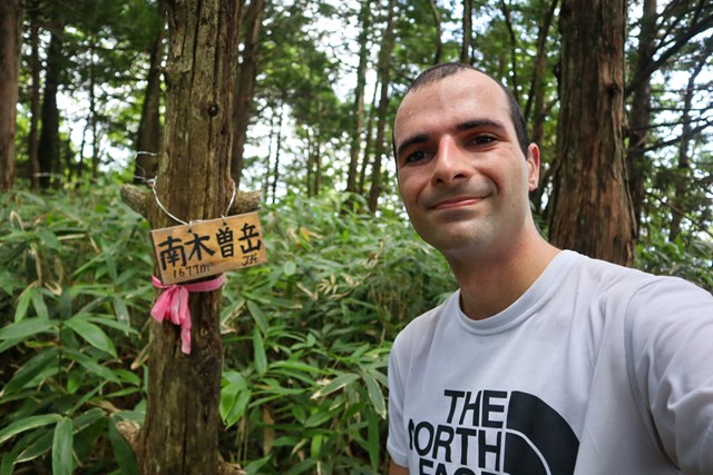
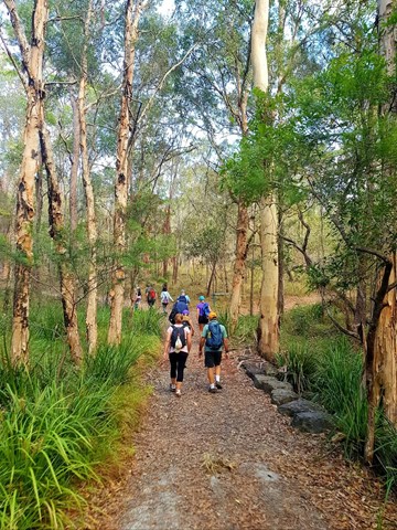
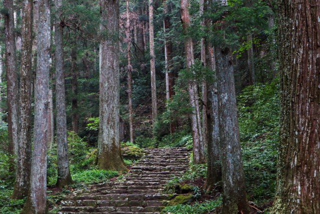
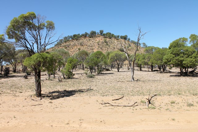
Nt. Nagiso-dake 南木曾岳 (Nagano Prefecture)
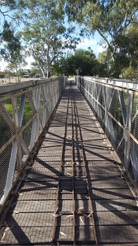
Mt. Nagiso is a small mountain located in the Central Alps. It lacks the alpine feel of some of the other hikes in the area such as Utsugi-dake and Kiso Koma ga Take, but nonetheless is a pretty decent hike. It sees very little foot traffic and has good views over Mt. Ena and onto Mt. Ontake. Some nice easy rock scrambling and some precarious bridges.
 1.4
km
return
30
mins
1.4
km
return
30
mins
Six Mile Creek Track
A moderate level trail that leads you into a world of large swamp box and blue gums, and if you are lucky enough, you may even see a shy lace monitor. Cool down as you cross Six Mile Creek and inspect a number of revegetation areas Council has been working to restore.
 9.8
km
one-way
4
hrs
9.8
km
one-way
4
hrs
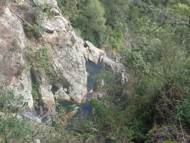
River Trail, Sturt Gorge
The River Trail follows the Sturt River through Sturt Gorge. It explores the rugged beauty of the river, including waterfalls, flowing creeks and rocky gorges.
The trail can be adventurous, with 9 river crossings and some rock scrambling. After rain expect the river to be higher, and the stepping-stones across the 9 river crossings may be underwater.
Begin on Main South Road and walk through Riverside Reserve, then along Adam’s Orchard Trail from the end of Riverside Drive, Bedford Park. Or begin at Edgar Street, Bedford Park. Follow the trail to the eastern end of Sturt Gorge Recreation Park, where the trail emerges on Coromandel Parade beside Horners Bridge. Built in 1886 Horners Bridge is a large stone arch bridge, and was the first bridge across the Sturt River. It was on the original Adelaide to Goolwa Road, which was superseeded when motor cars became popular (and the road unsuitable for fast travel).
The trail could be walked one-way by using Adelaide Metro public buses to return, from Bus Stop 28 Main South Road to Bus Stop 37B Coromandel Parade.
73
km
one-way
5
days
Heysen Trail South Coast
This 4-5 day highlight section of the Heysen Trail along the south coast is spectacular, with good campsites along the way for multi-day hikers. This highlight section starts from the southern trailhead of the Heysen Trail at Cape Jervis, following the coast to Victor Harbor. Before Victor Harbor the main Heysen Trail heads north for 1,200km to the Flinders Ranges, but a good spur trail continues into central Victor Harbor.
10.5
km
3
hrs
Mt. Mathieson Circuit
This track was built by volunteers in 1986 from the National Parks Assoc of Qld. The mountain is named after the chief commissioner of railways from 1880s to 1912
 5
km
return
90
mins
5
km
return
90
mins
Mount Byron
Out and back trail to Mount Byron that can be accessed by 4wd or added onto a walk of the Somerset Trail. Walk is initially along fire trail up and over the summit of Mount Byron before it ends on the far side from there continue along single trail to enjoy views from the cliff line on the Southern side of Mount Byron.
 3.1
km
return
45
mins
3.1
km
return
45
mins
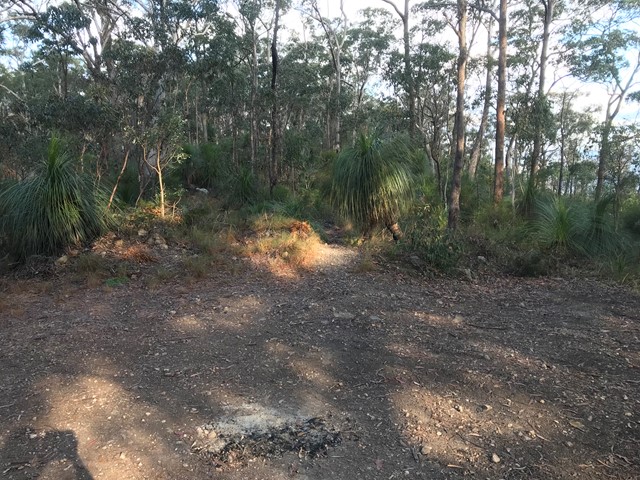
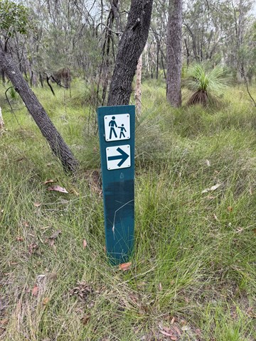
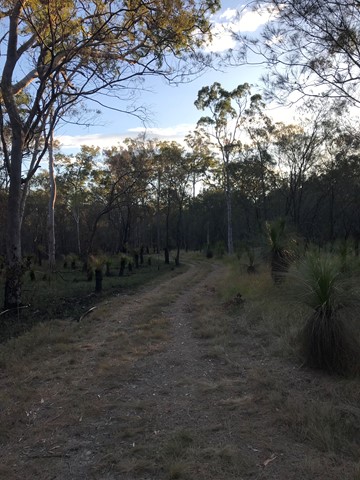
Freshwater Xanthorroea Circuit
A short circuit walk in Freshwater National Park where many xanthorrhoea (grass trees) are on display.
 3.8
km
return
105
mins
3.8
km
return
105
mins
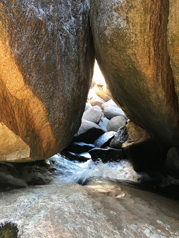
Underground Creek
This walk include spectacular wildflowers, varied birdlife and a creek that disappears beneath boulders that have fallen from the cliffs above creating a wave rock. Climb to above the lava flow for views out to the Aztec Temple and Mt Norman and see the rock pools and the creek gurgling down the crevasses.
 7.5
km
2
hrs
7.5
km
2
hrs
Venman Circuit
This hike has 2 trails through some amazing Australian Eucalypt forests. The Tingalpa Creek track is short, while Venman circuit takes longer, but can connect to other parks to the NW. Can be a bit slippery after rain. Three stepping stone crossings in the wet - can be a bit slippy.
Why not drop in to the Nursey/Cafe afterwards and give Shadow a corner of your pumkin scone.
 5.3
km
return
2.5
mins
5.3
km
return
2.5
mins
Second Falls Hike
This trail has spectacular panoramic views across Adelaide and of Morialta Gorge and First and Second Falls. Enjoy visiting the Kookaburra Rock, Eagles Nest and Deep View lookouts. Rangers recommend doing this hike in an anticlockwise direction.
2.5
km
return
1.5
mins
Plateau Hike
This hike begins along Fourth Creek and then ascends above the valley floor to Giants Cave. Enjoy the stunning views of Morialta Gorge from the Kookaburra Rock Lookout, the top of First Falls and Eagles Nest Lookout.
 14.5
km
return
6
hrs
14.5
km
return
6
hrs
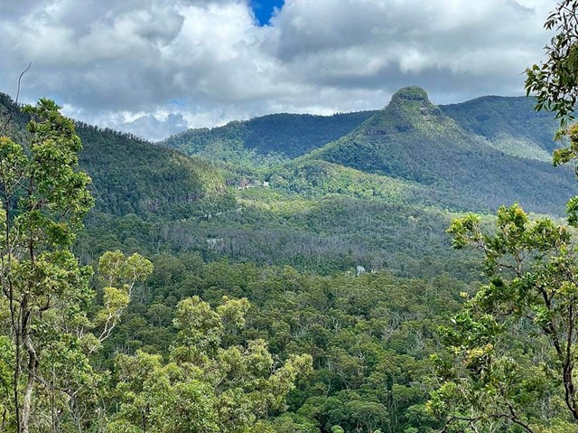
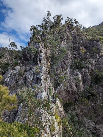
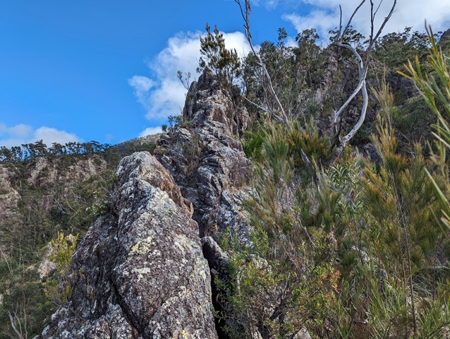
Mt Barney - Up Mezzanine - Down SE Ridge
Climb Mt Barney via Mezzanine Ridge and descend via South East Ridge.
It's a challenging climb with exposed cliff edges and climbing involved.
 1.5
km
return
1
hr
1.5
km
return
1
hr
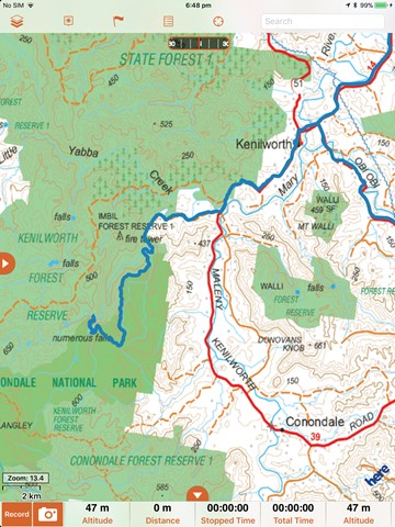
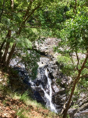
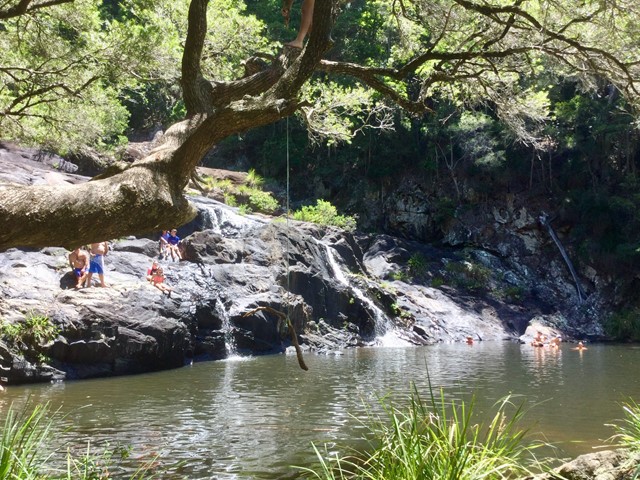
Booloumba Falls
Walk through tall open forest and discover this scenic creek's cascades, waterfalls and rock pools. At the junction of Peters and Booloumba creeks view The Breadknife rock formation. Swim in the pools at the base of the falls with its beautiful cool mountain water on a hot summers day
 6
km
return
2
hrs
6
km
return
2
hrs
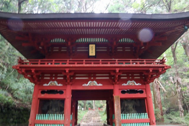
Mt. Houraiji 鳳来寺山 (Aichi Prefecture)
Houraiji is an ancient temple that was founded somewhere around 700 AD. It was secluded in the mountains and became a place for serious aesetics to learn about esoteric Buddhism. Because of its heritage of being an important Buddist temple, the surrounding forest was not destroyed in the great purge of forests conducted by the Japanese government. It is a rare example of ancient trees. It is very biodiverse which is a great change from the usual monoculture of trees you find on Japanese mountains.
 400
m
return
30
mins
400
m
return
30
mins
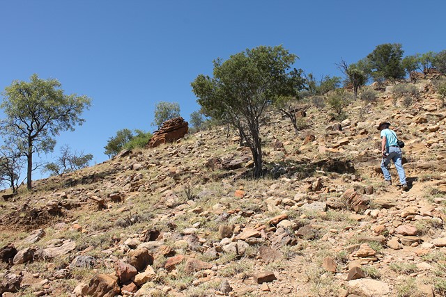
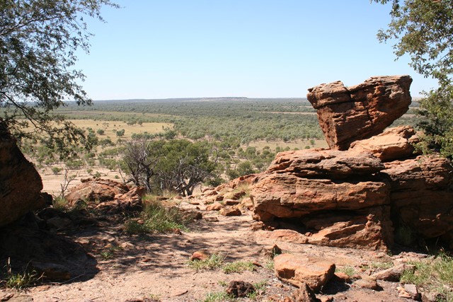
Starlight's Lookout
Steeped in history and made famous by Australia's most well known cattle-duffer Harry Readford, the spectacular outback landscape stretches out before you. This outcrop (mesa) in the middle of nowhere gives you a panoramic 360° view of the desolate flatness of outback Queensland.
 3.4
km
return
1
hr
3.4
km
return
1
hr
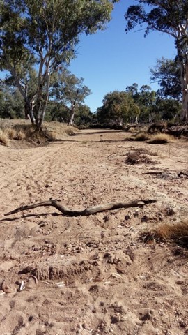
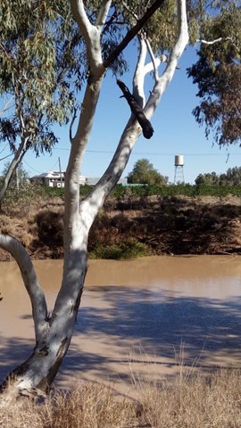
Warrego River Walk
The Warrego River, a northern tributary of the Darling River, flows through Charleville where this short walk follows its northern bank.
 4.2
km
return
90
mins
4.2
km
return
90
mins
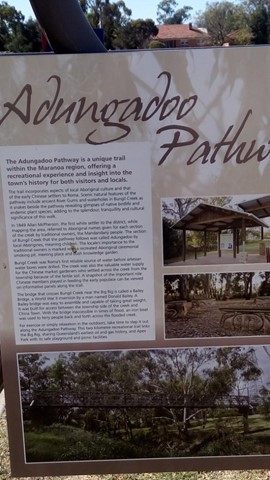
Adungadoo Pathway
Follow the peaceful waters of Bungil Creek. Ancient River Red Gums are a beautiful feature of this walk, while the watercourse is a must for bird watchers. Take a small detour on route to see the largest Queensland Bottle Tree.
 1.7
km
return
75
mins
1.7
km
return
75
mins
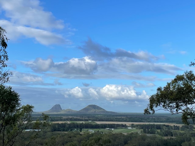
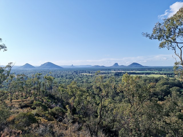
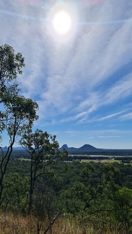
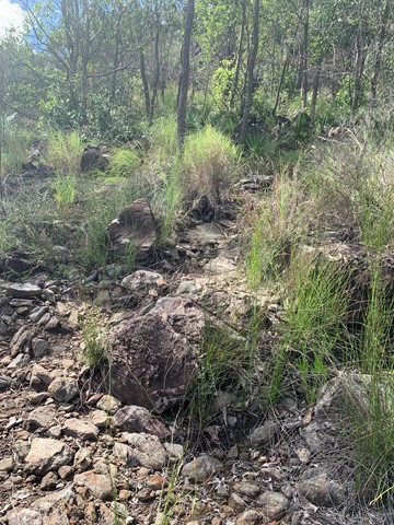
Mt Elimbah (The Saddleback)
At only 120m high this is an easy climb to the top of one of the two most southerly of the Glass House Mountains. The terrain is mostly rocks with grass or dense bush but has a surprisingly good 360° view from the top.
 1.2
km
return
30
mins
1.2
km
return
30
mins
Hawkings Point Lookout
Short walk up to a lookout with lovely views of the island.
17
km
return
5
hrs
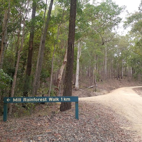
Bulls Falls and Mill Rainforest Walk Circuit
Starting from Gantry Day Use Area, the walk follows Neurum Creek Road to the Falls Lookout. Walk to the car park (200m) and out on the track (1.1 km return) to the escarpment lookout and the lookout over the falls. Return to Neurum Creek Road and continue to the left then turn right to Mill Rainforest Walk. Follow the road to the car park and then follow the Mil Rainforest Circuit (1 km), including the boardwalk around the base of a large fig tree.
Return to Neurum Creek Road and continue on over Neurum Creek and then ascend to a hairpin bend sign. Turn left onto a trail used by grail bikes and ascend steeply to Lovedays Road. Turn left and after about 100m turn left onto the Somerset Trail. Follow the Somerset Trail back to the Gantry Day Use Area.