
Menu

 1.1
km
return
1.1
km
return
 30
mins
30
mins
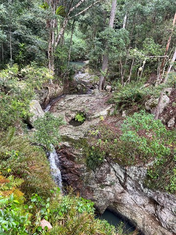
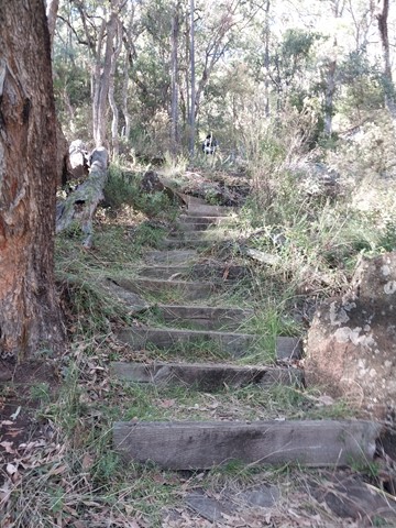
Bulls Falls
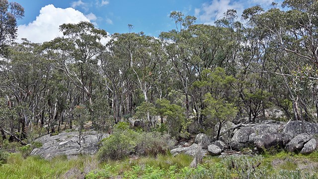
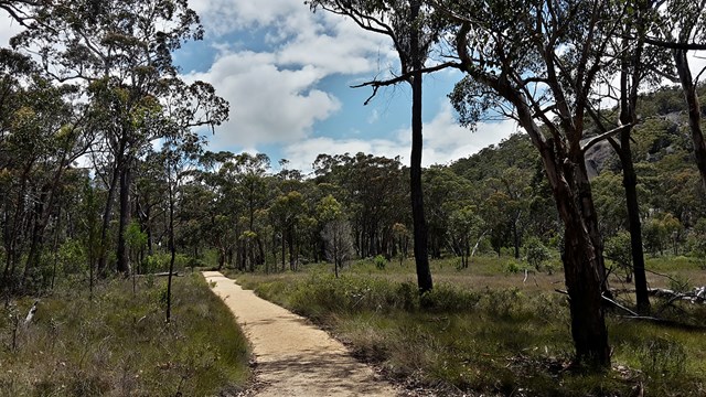
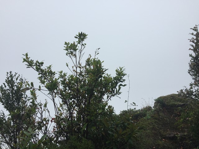
Part of the Mt Mee section of the park this is an easy walk which from the viewing platform includes the beauty of the Neurum Valley with its sheltered rainforest pools and rocky crags. The pathway then continues on down to the falls themselves.
 1.2
km
return
75
mins
1.2
km
return
75
mins
Mt Miketeebumulgrai
Mt. Mike as it is known is twice as tall as its neighbour Mt Elimbah with a fast but steep ascent through eucalypt forest nested on scree and leaf litter-covered slopes. The views from the top are not great but what can be seen is the extensive horticulture on the plains below, particularly of strawberries and pineapples.
 600
m
return
30
mins
600
m
return
30
mins
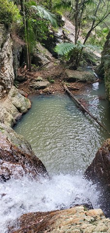
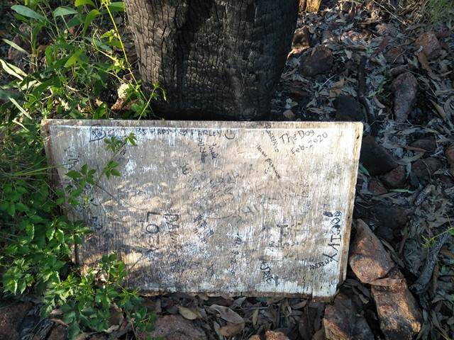
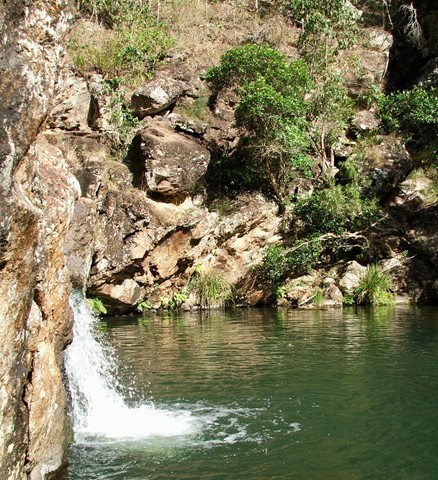
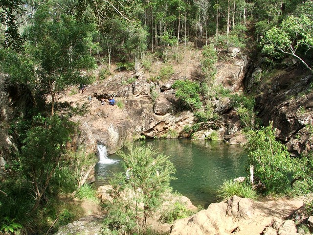
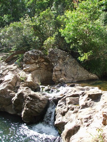
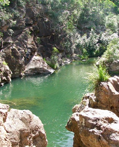
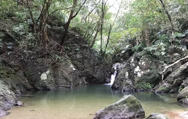
Rocky Hole
A short walk down to the crystal clear cooling waters of Rocky Hole for a very welcome swim on a hot day.
 1
km
return
30
mins
1
km
return
30
mins
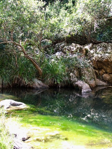
Lophostemon Walk
A short circular stroll following and crossing Neurum Creek.
 1
km
return
30
mins
1
km
return
30
mins
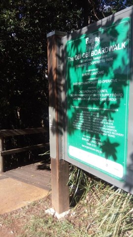
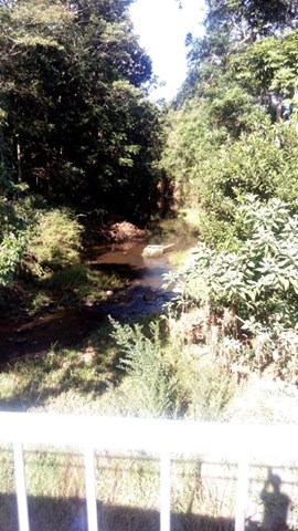
Obi Boardwalk
A short boardwalk beside Obi Obi Creek, that connects the town with the showground.
 5.5
km
return
2
hrs
5.5
km
return
2
hrs
Maleny Trail (Peace in the Trees Circuit)
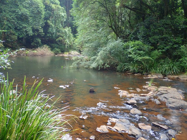
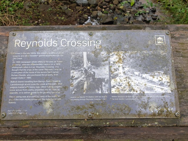
A leisurely walk along Obi Obi Creek from the boardwalk in town to the Golf Club and back, that passes the sculptured 'Peace in the Trees', '5th Light Horse Regiment Beersheba Museum', 'Platypus Viewing Area', 'Southern Wetlands' and historical buildings of the once 'Fairview Dairy Farm'.
 45
km
return
2
days
45
km
return
2
days
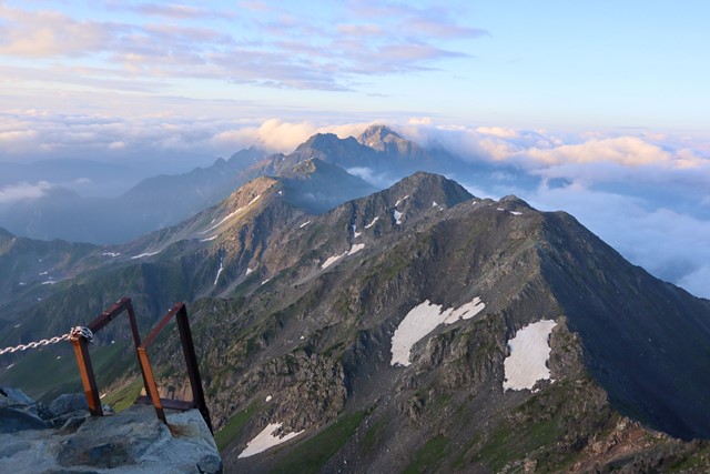
Yarigatake 槍ヶ岳 (Gifu/Nagano Prefectures)
Yarigatake is one of the 100 famous mountains in Japan. It is located in the Northern Alps and is one of the most instantly recognisable peaks in Japan. It is the 5th tallest mountain in Japan, and is just awesome. A two day with a thrilling scramble. Being 3000m above sea level, things just hit different.
 1.4
km
return
30
mins
1.4
km
return
30
mins
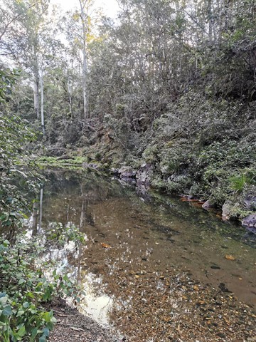
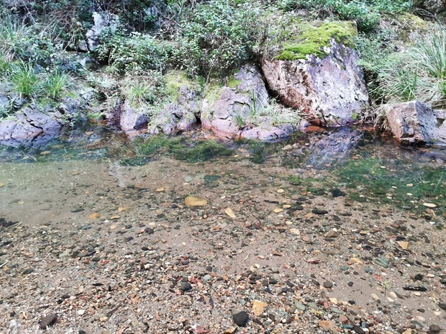
Dr Roberts Waterhole
Take the gently sloping track to gaze at reflections in the still waters of Bald Rock Creek. Ground orchids, banksias, conesticks, geebungs and crinkle bushes are prominent in spring, as are the many colourful bird species living among them.
 2.4
km
return
90
mins
2.4
km
return
90
mins
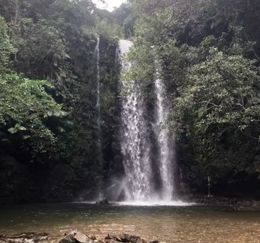
Tataki Falls ター滝 (Okinawa Prefecture)
Tataki falls is a stunning waterfall located in the southern section of Yanbaru National Park, home to rare and endangered animals endemic to Okinawa.
Walk through the ancient rainforest and soak in the sights. Tataki falls is one impressive waterfall.
 3.3
km
return
2
hrs
3.3
km
return
2
hrs
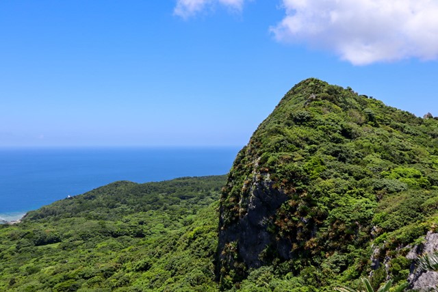
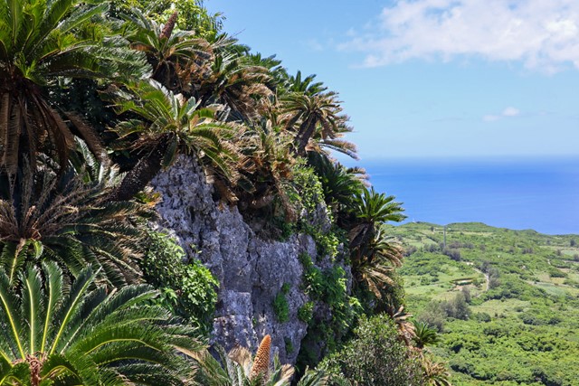
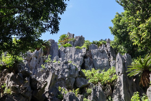
Daisekirinzan Yanbaru National Park 大石林山 やんばる国立公園 (Okinawa Prefecture)
Located in the Yanbaru National Park World Heritage Site, Daisekirinzan has some of the most breathtaking scenery in Okinawa. It has jagged volcanic rocks jutting out of the ground, forming interesting natural shapes. Daisekirinzan is also home to many rare and endangered animals endemic to Okinawa such as the Okinawan Rail and the Okinawan rat. Daisekirinzan is worth the trip, it feels like stepping back in time to the age of the dinosaurs.
The Ryukyu Royal Family also used to come here to pray. It is a very special place, both naturally, historically and religiously.
 7
km
return
2.5
hrs
7
km
return
2.5
hrs
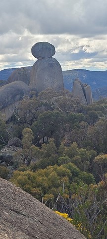
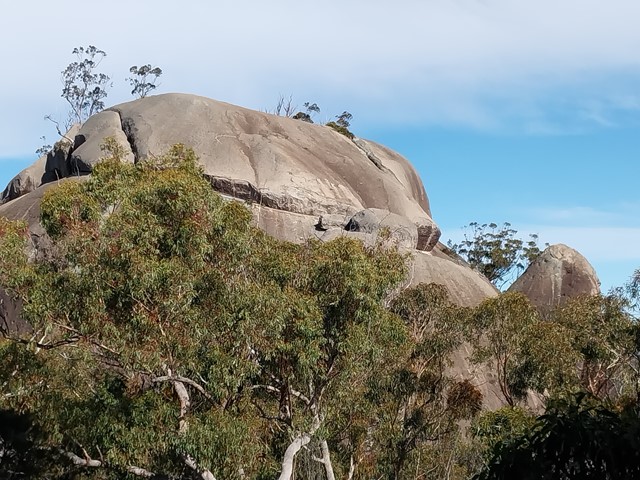
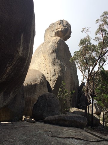
The Sphinx and Turtle Rock
The Sphinx is a granite pinnacle bearing a large balancing tor, while Turtle Rock is a large granite monolith resembling a turtle's back.
 4.4
km
return
90
mins
4.4
km
return
90
mins
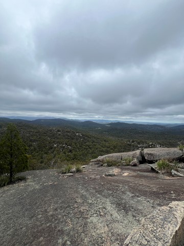
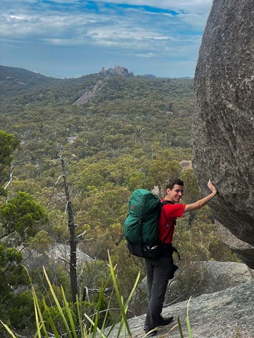
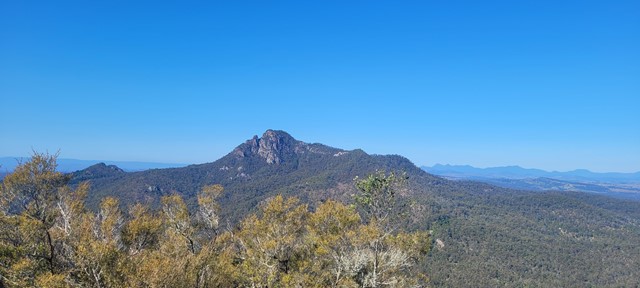
Castle Rock
Panoramic views from Castle Rock are breathtaking including The Pyramids and Mt Norman.
Officially rated Grade 4/Hard, this walk requires a moderate fitness level, some scrambling skills and confidence with heights.
 1.6
km
return
45
mins
1.6
km
return
45
mins
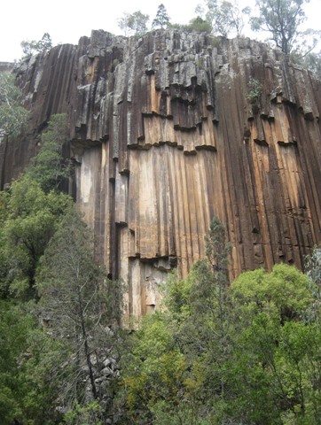
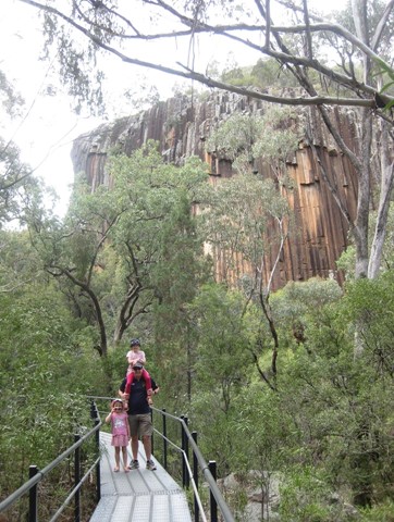
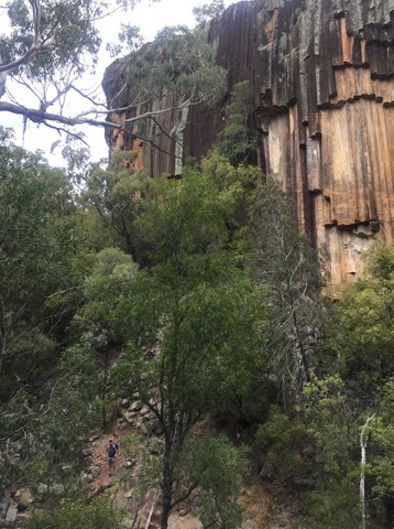
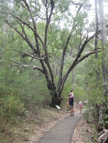
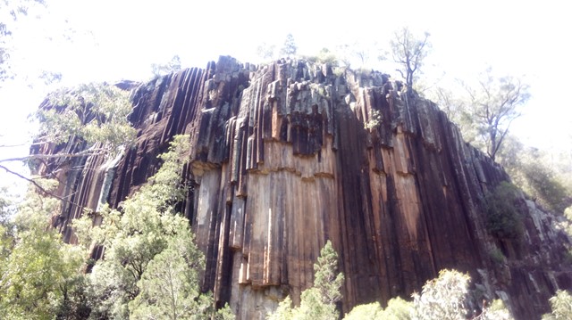
Sawn Rocks
The wall of 40m high 'organ-piping' looks like something out of a cathedral. Sawn Rocks is a towering wall of pentagonal basalt pipes. An iconic reminder of Kaputar’s volcanic past, this rock formation is located in the northern section of Mt Kaputar National Park. This phenomenon is the result of slow and even cooling of molten rock, enabling individual crystals within the rock to align perfectly with each other.
 3.8
km
return
105
mins
3.8
km
return
105
mins
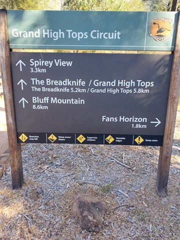
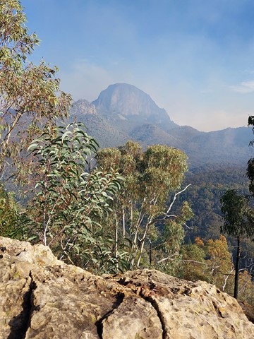
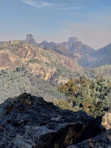
Fans Horizon
Perched atop the cliffs of Balgatan Mountain, Fans Horizon lookout is well worth the short but challenging hike. It’s perfect for bushwalkers who are pressed for time but keen to see the Warrumbungles' famous volcanic rock formations.
Take the time to catch your breath as you enjoy some of the park’s most rewarding sights. You’ll have magnificent views of the iconic Breadknife, Belougery Spire and Crater Bluff.
 1.8
km
return
1
hr
1.8
km
return
1
hr
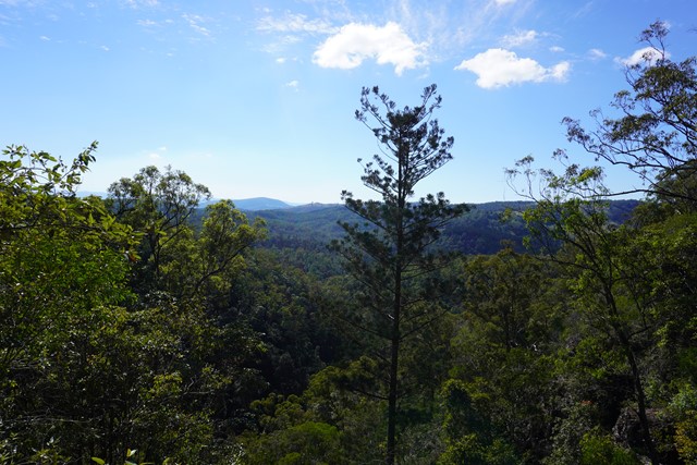
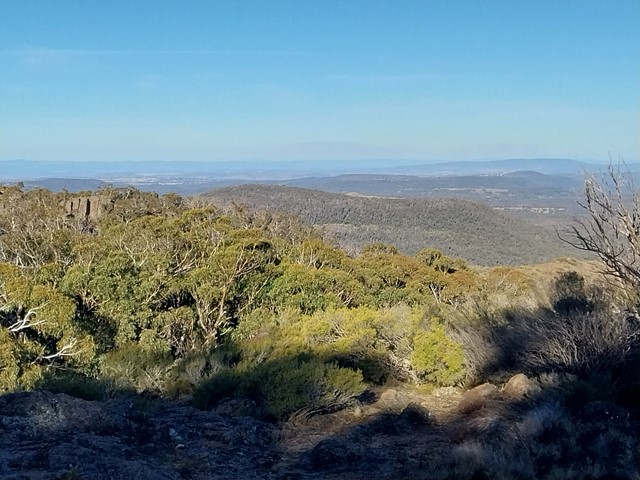
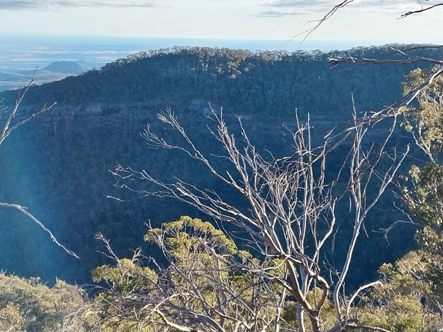
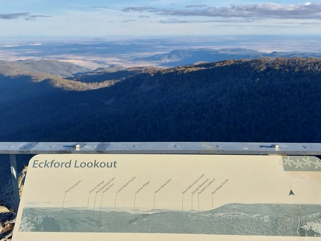
Eckford Lookout
This easy walk takes you through forest and herb fields to the lookout, where you can see the southern section of the park and the plains beyond.
 5
km
return
3
hrs
5
km
return
3
hrs
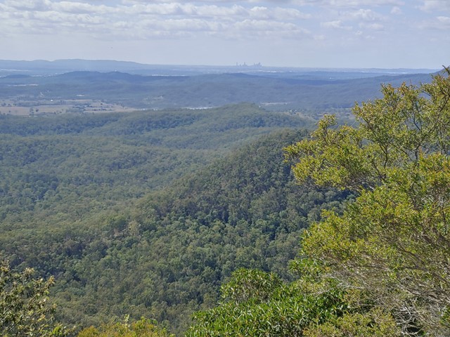
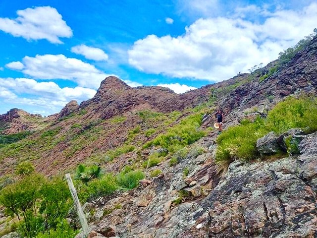
Mt Blaine Summit Trail
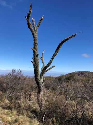
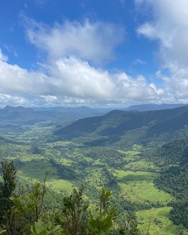
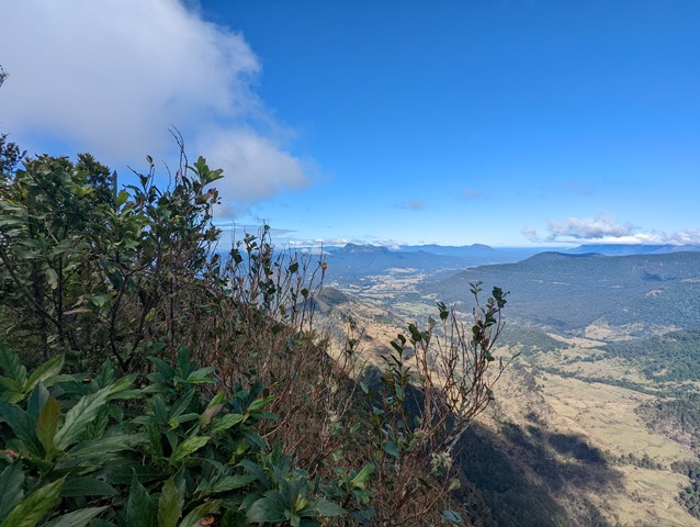
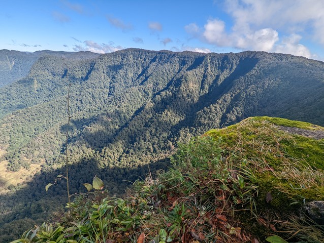
A challenging track to the summit of Mt Blaine. The trail consists of steep inclines and rock scrambling. The summit provides 360 degree view over Brisbane, Ipswich and the scenic rim and a great view of Flinders Peak. The track goes up the northern side, over the summit and back down the southern side. High level of fitness, off track experience, scrambling experience and solid boots are all recommended. Do not attempt this climb if you have knee problems, nervous conditions or vertigo.
 6.8
km
return
2
hrs
6.8
km
return
2
hrs
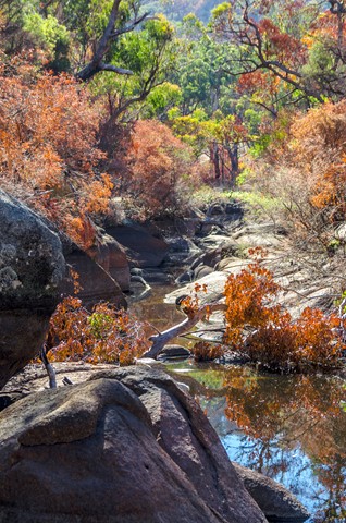
Rowlands Creek
A nice easy walk down to Rowlands Creek via Middle Ridge and Clay Pots Fire Trails.
22
km
7
hrs
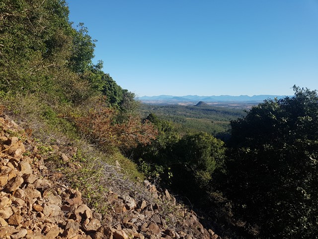
Mt Merino Lookout
The 1160m summit of Mt Merino is halfway between Binna Burra and Green Mountains and can be visited on a day walk.
 3.7
km
return
90
mins
3.7
km
return
90
mins
Bundabulla Circuit
Bundabulla Circuit walking track connects Lindsay Rock Tops walk and Eckford Lookout walk, with lookouts around the plateau providing amazing views of the surrounding plains.
 4
km
return
4
hrs
4
km
return
4
hrs
Yulludunida Walking Track
Yulludunida walking track is an exhilarating 4km, 4 hour return hike. This hard walk from Green Camp car park takes you up the side of the steep bluff, a heart-pumping 340-metre rise in altitude. Adventurous and experienced bushwalkers will be rewarded with uninterrupted 360° views across Mount Kaputar National Park and North West NSW.
Yulludunida walking track includes a breathtaking bird’s eye view of the mountain’s crater, one of the most impressive examples of a ring dyke (Mountain Spa) in Australia. You'll notice the woodland trees become sparser as the contorted shapes of the crater appear.