
Menu

 500
m
500
m
 36
mins
36
mins
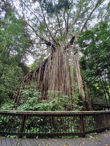
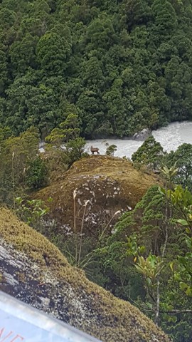
Curtain Fig NP
A well built boardwalk surrounds the most astounding sight - a massive curtain of aerial roots created over 3 toppled trees by a single strangler fig. The fig is thought to be over 500 years old.
 2
km
return
1
hr
2
km
return
1
hr
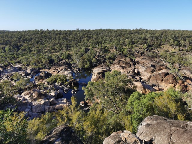
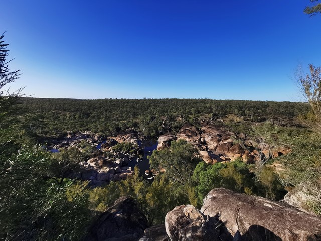
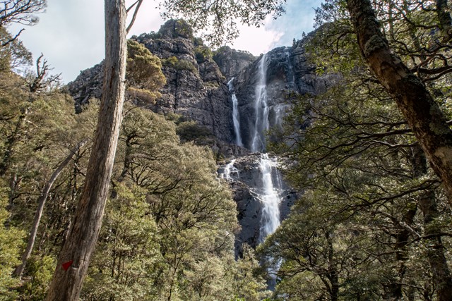
Emerald Creek Falls walking track
Emerald Creek rushes out of the rainforests of the Lamb Range. The waters of the creek tumble over granite boulders, forming the picturesque falls that plunge into placid pools.
6
km
3
hrs
Mount Whitfield Conservation Park
Mount Whitfield Conservation Park Red and Blue Circuits including Summits of Mount Whitfield and Lumley Hill.
 3.2
km
return
90
mins
3.2
km
return
90
mins
Auburn River National Park , Gorge -top walk
The track follows the river on a gentle walk through open eucalypt forest along the top of the gorge. At the lookout there are spectacular views down the river,
which flows over a series of cascades to the Auburn River Falls—best viewed after heavy rain.
 3.3
km
return
1
hr
3.3
km
return
1
hr
Baldwin Swamp
A walk around a series of lagoons and home to a variety of birds. There is also a large colony of flying foxes. The length of the walk will vary depending on which tracks you take. Note motorised bikes must be registered and dogs must be on a leash.
1
km
return
30
mins
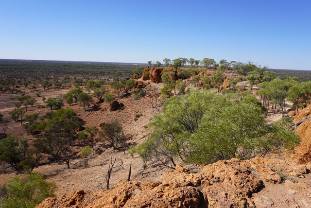
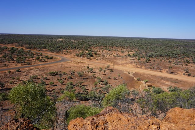
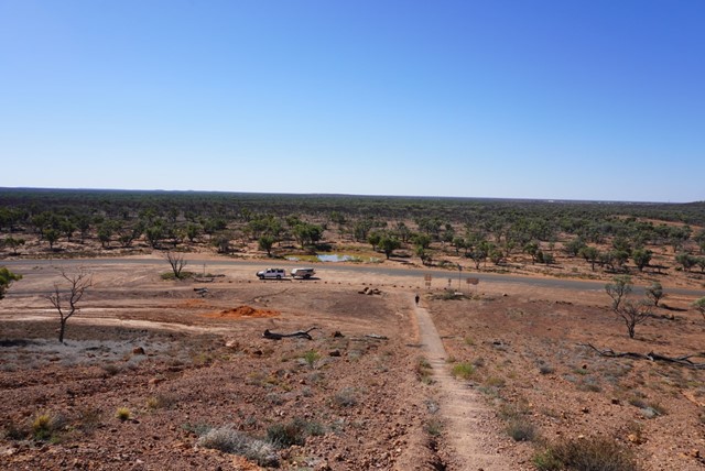
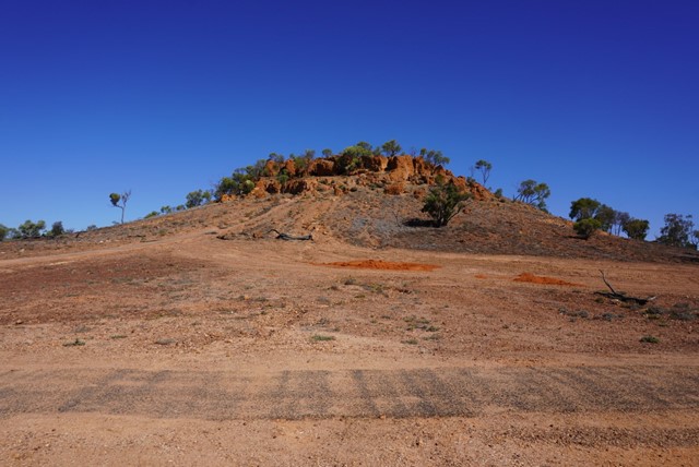
Baldy Top Quilpie
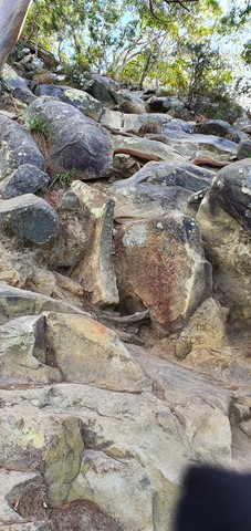
Located 7.4 kilometres from Quilpie on the Toompine Road rests a red rocky formation, aptly named Baldy Top Lookout. Part of the Grey Range, Baldy Top is one of the most elevated points in South West Queensland.
Explore caves and crevices, untouched by civilisation whilst traversing this magnificent boulder formation which was created naturally over millions of years.
A climb to the summit of Baldy Top is a relatively easy ten minute scramble. Although Baldy Top appears quite small in its surroundings, once atop this hill, one is amazed by the breathtaking panoramic landscapes that stretch as far as your imagination.
As ancient as time itself, Baldy Top offers visitors stunning sunsets whilst experiencing the serenity and solitude of the Outback.
 8.3
km
return
2.5
hrs
8.3
km
return
2.5
hrs
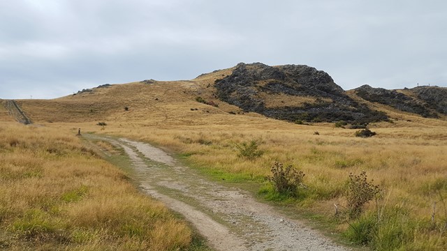
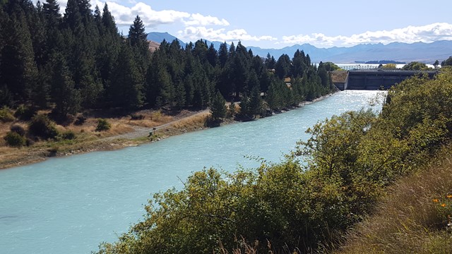
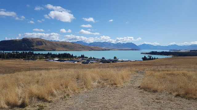
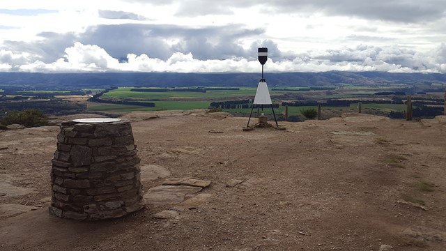
Mount John
This track rises steadily up through exotic forest and then open tussock hill slopes to a viewing area with a 360° panorama of the surrounding mountains of the Southern Alps, various lakes and the Mackenzie Basin flats, before heading across the mountain below the Observatory and down the far side and back along the shoreline of Lake Tekapo.
 5.9
km
return
105
mins
5.9
km
return
105
mins
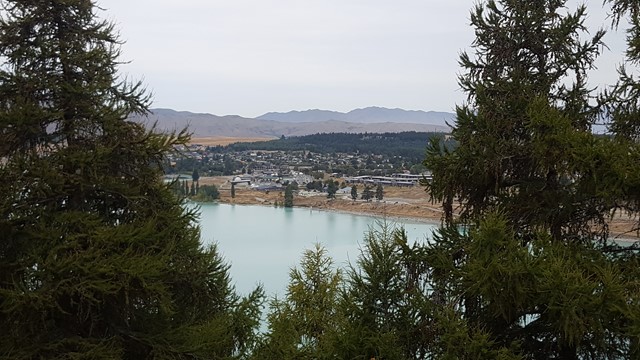
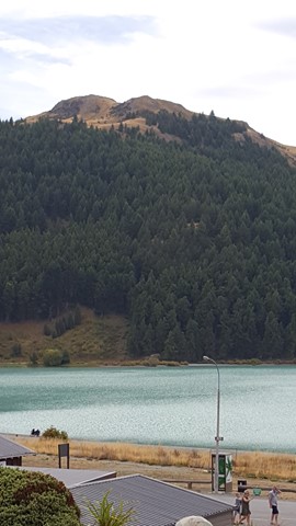
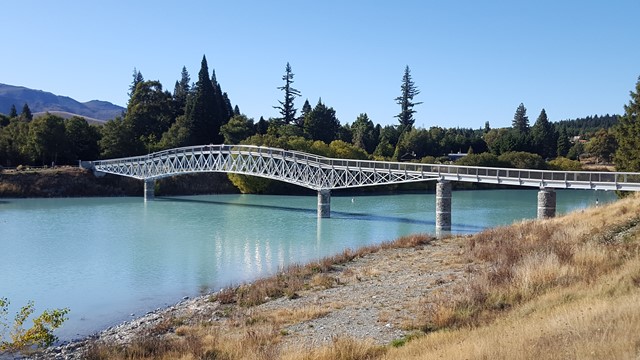
Cowans Hill
The track passes the Church of the Good Shepherd and Dog Statue, along the shoreline, before heading along the edge of an exotic forest to open hillside tussock country and small tarns where wetland birds stop to feed, before heading back down to the Tekapo River through a plantation.
 4.7
km
return
105
mins
4.7
km
return
105
mins
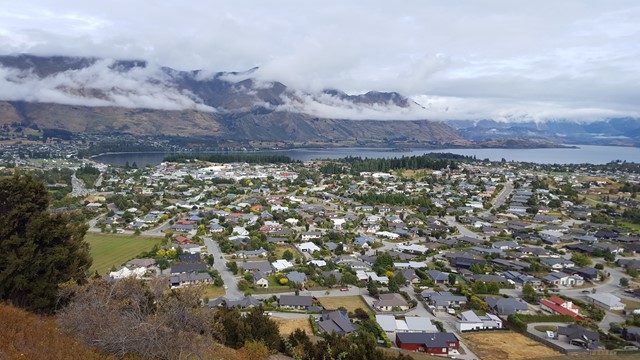
Mount Iron Loop
Mount Iron is an impressive, glacier-carved, 240-metre rocky knoll. From its summit a great panorama unfolds: Lakes Wanaka and Hawea, Pisa Range, the Cardrona and Upper Clutha Basin and all the surrounding peaks of the Southern Alps; many of them in Mount Aspiring National Park in the west.
 10.6
km
return
6
hrs
10.6
km
return
6
hrs
Meander Falls Circuit
One of Tasmania’s 60 Great Short Walks, the hike to Meander Falls can be done as a circular walk, taking in a variety of terrain and a number of smaller (but equally impressive) falls by taking the Split Rock Track back.
 19.5
km
one-way
19.5
km
one-way
Goldfield Trail
The Goldfield trail follows a 19 km historic path through the rainforest of Wooroonooran National Park. It crosses numerous picturesque creeks and climbs over a low saddle between Queensland’s two highest peaks, Bartle Frere and Bellenden Ker.
 18
km
return
4
hrs
18
km
return
4
hrs
Cooroora Trail
Trail 5 of the Noosa Network Trail, this trail provides some wonderful viewing of Mt Cooroora and Mt Cooran and is largely located through Tuchekoi National Park as your route takes you from Pomona to Cooran.
 70
km
one-way
4
days
70
km
one-way
4
days
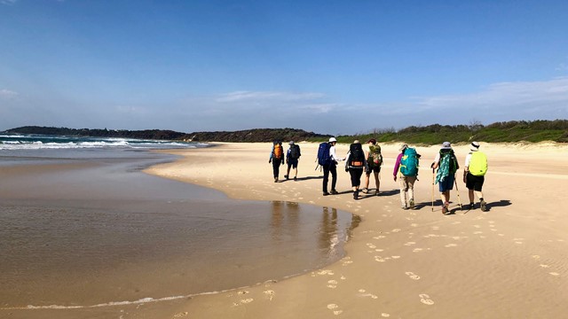
Yuraygir Coastal Walk
An ideal multi-day walk for families and beginners along a remote coastline of beaches and headlands with good lookouts for whale, dolphin and bird watching. Keep your pack light by staying and eating in the villages.
 1.5
km
return
45
mins
1.5
km
return
45
mins
Killiekrankie Mountain Lookout
A short walk to stunning lookouts over the New England NP wilderness to the west, and across to the sea in the east. There is a stand of mountain mahogany (hug a tree) along the walk. Even if you aren't rock-obsessed, its hard not to notice the interesting trachyte volcanic dyke as you climb toward the summit. We had a lunch at the picnic site. The access road to this walk, Horseshoe Road, is 4WD and interesting in itself, passing through different types of forest including Leagues Scrub. There is a vision to make this part of a long distance walk (Great Koala National Park).
12.9
km
return
4
hrs
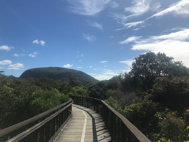
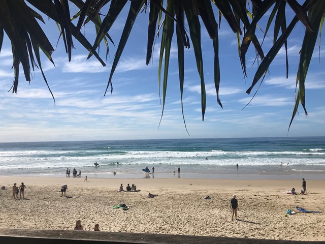
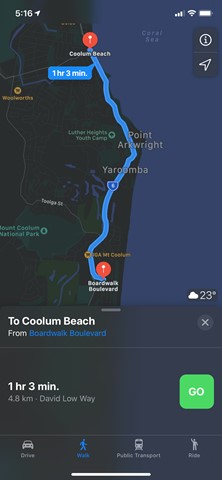
Coolum Beach to Mount Coolum
Walk from Coolum Beach to Mount Coolum boardwalk along footpath there and back along the beach with some rock hopping involved along the beautiful beaches.
 5
km
return
2
hrs
5
km
return
2
hrs
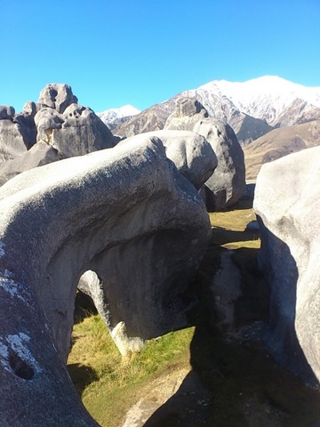
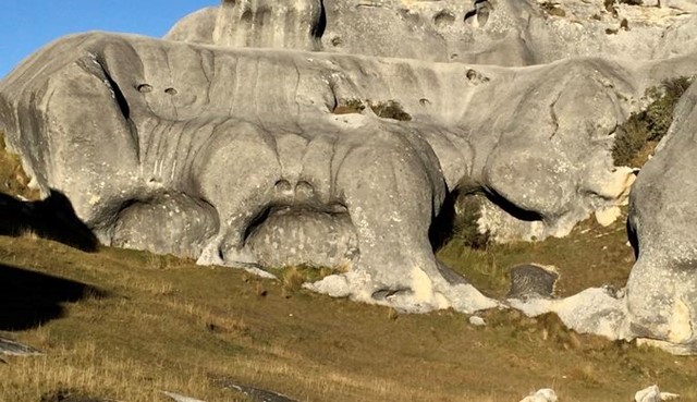
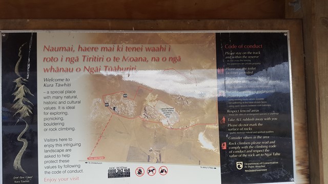
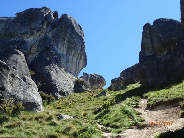
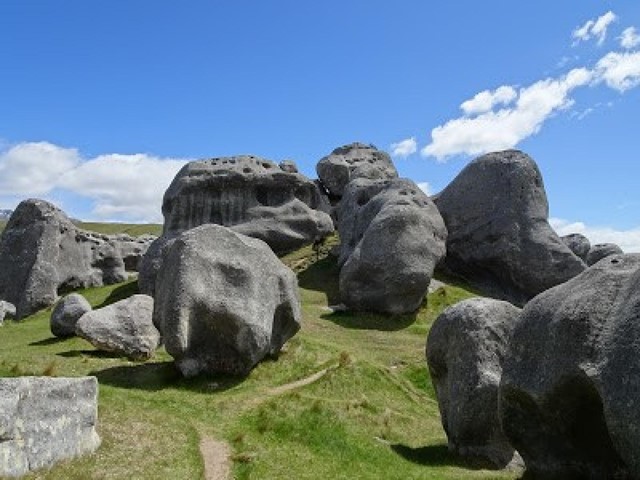
Castle Hill
Castle Hill Basin lies between the Torlesse and Craigieburn mountain ranges and is characterised by its distinctive limestone rock formations. These limestone rock formations are the water eroded remnants of limestone formed during the Oligocene age 30-40 million years ago when much of present day New Zealand was covered by the sea.
The area is of special cultural, spiritual and historical significance to Ngai Tahu who named it Kura Tawhiti (treasure from afar). Hidden amongst the limestone outcrops of Castle Hill are traces of 500-year old charcoal drawings traditionally said to have been left by the Waitaha, the first people to travel through this area.
 4.1
km
return
2
hrs
4.1
km
return
2
hrs
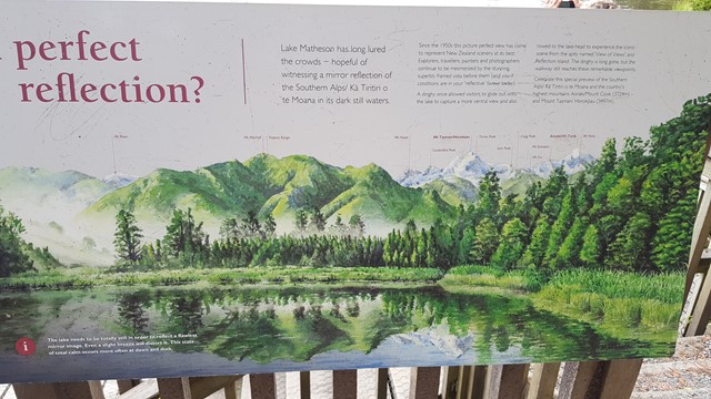
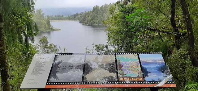
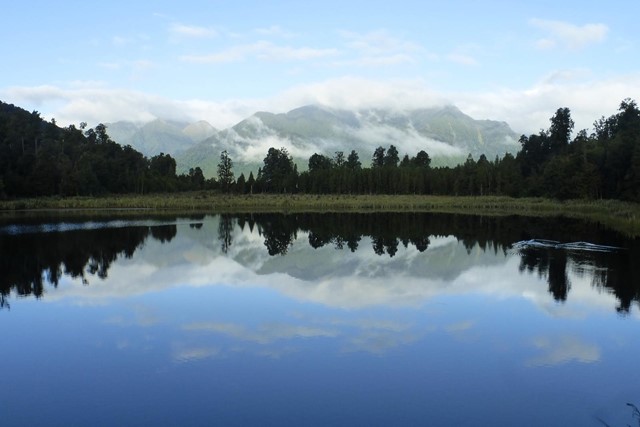
Lake Matheson Circuit
Lake Matheson is one of the most photographed lakes in New Zealand. Its backdrop of the Southern Alps dominated by Mt Cook, provides an outstanding reflection across the waters from View of Views lookout.
 6.6
km
return
2.5
hrs
6.6
km
return
2.5
hrs
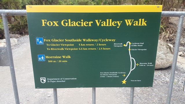
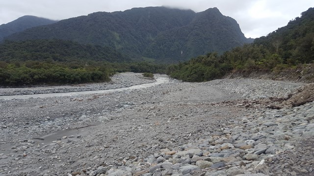
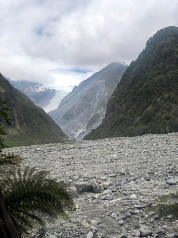
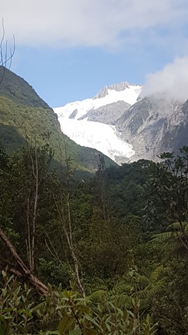
Fox Glacier Valley Walk
The Fox Glacier Valley Walk follows the south bank of the Fox River through ancient podocarp rainforest. The track heads gently up the valley crossing ancient glacial moraine surfaces, with the forest reflecting the various ages of the glacier moraines which it has colonised and gets you within 4km of the glacier face.
 900
m
return
30
mins
900
m
return
30
mins
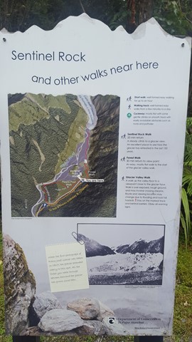
Sentinel Rock Walk
This short steady climb up a now bush-covered ice-scraped rock offers the most impressive views of the glacier and the Waiho River.
Information panels at the viewpoint show dramatic photos of the glacial retreat, making it one of the best places to appreciate the power of the glacier.
Sentinel Rock emerged from beneath the glacier in 1865 and is an example of how the glacial ice ground the hard schist bedrock into a Roche moutonnee or ‘rock sheep’.
Since 1909 the glacier has retreated over 3 km and plants have progressively colonised where a veneer of rubble has been dumped over bedrock in the valley.