
Menu

 2.3
km
return
2.3
km
return
 90
mins
90
mins
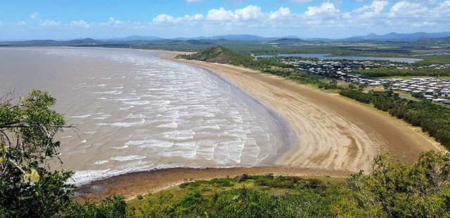
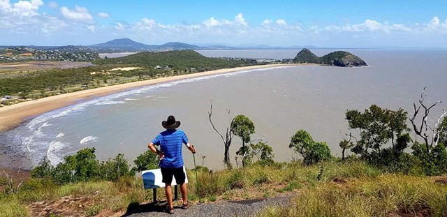
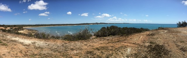
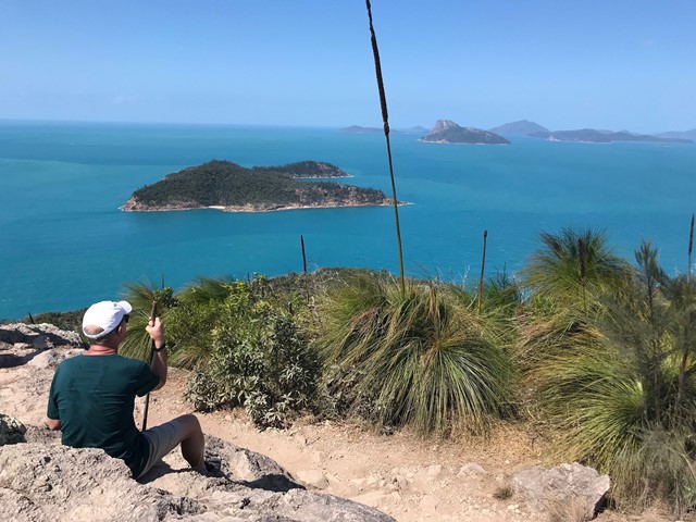
Bluff Point Walking Track
Good enjoyable walk, I'd say it a medium difficulty level for beginners. Use to run it everyday with incredible lookouts over to the islands and overall an enjoyable time.
 15
km
4
hrs
15
km
4
hrs
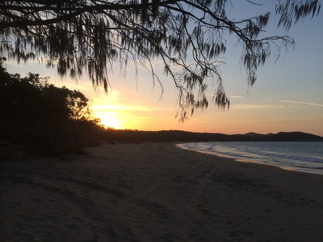
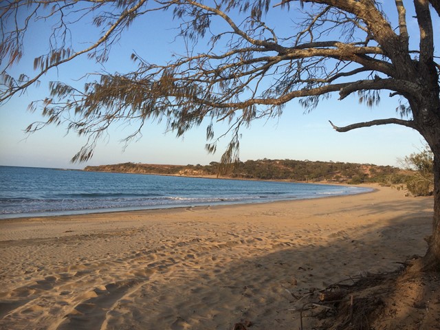
Curtis Island
This walk takes you along the eastern coastline of Curtis Island, starting from South End. There are two established camp sites along the eastern coast (Turtle St - about 15km, and Joey Lees - about 29km), and another at the northern end (Yellow Patch). This is a fairly exposed walk, along the beach in some areas and along the top of the headland in others. It would be much too hot in summer. The views are pretty spectacular the whole way and it is not busy at all - we walked on a long weekend and met one group of 4WD'ers, and no other walkers. There are no facilities along the way- you will need to bring all of your own water.
 780
m
return
20
mins
780
m
return
20
mins
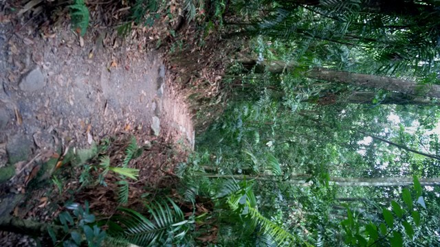
Rainforest Discovery Circuit
A short walk through rainforest with information boards and pictures by local school students.
 8
km
one-way
2
hrs
8
km
one-way
2
hrs
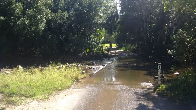
Credition Creek Track
A walk that follows Broken River through rainforest, linking the Broken River Visitor Area with the wishing pool Circuit.
8.2
km
one-way
90
mins
Clark Range Track
A walk through picabeen and Alexandra palms, linking the Broken River Car Park with the Sky Window Car Park.
1.7
km
return
30
mins
Wishing Pool Circuit
A short walk through rainforest along calm river pools
2.8
km
return
90
mins
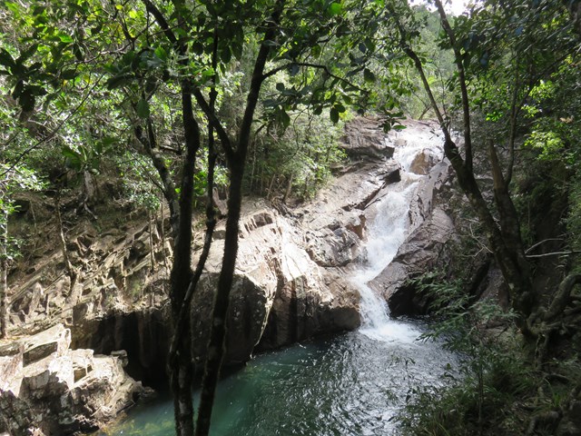
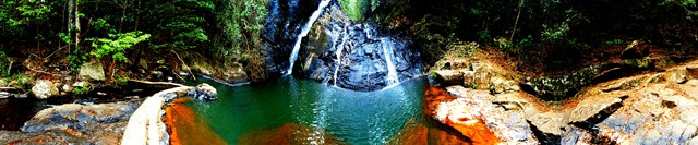
Araluen Cascades Track
From Finch Hatton Gorge picnic area, a moderate circuit with uphill sections leads you through lush rainforest and between granite boulders to the lookout above Araluen Cascades. If you are keen to swim, observe safety signs, jumping and diving into the water is prohibited. Variable water depths, submerged rocks and logs, and fast flowing water combine to make this activity extremely dangerous. Accidents have resulted in serious injury and a number of deaths
 2.5
km
return
90
mins
2.5
km
return
90
mins
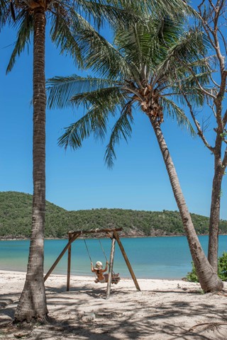
Coral Cove
Two different access points on either side of the island, to a quiet private beach facing South. With a swing and some palm trees. Half hour walk from East Side Entrance. An hours walk from Scenic Trail entrance
 13.9
km
one-way
13.9
km
one-way
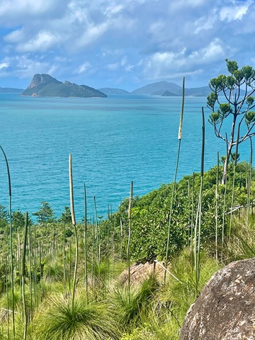
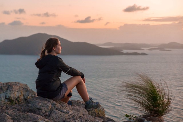
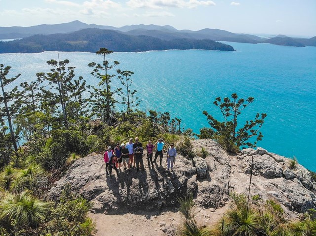
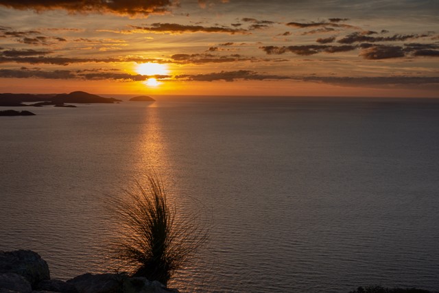
Passage Peak and Escape Beach
A combination of trails on Hamilton Island in the Whitsundays that combines sunrise from Passage Peak, a stop at the remote Escape Beach and views from the Resort Lookout. These can also be done as three separate walks. Stunning views from Passage Peak, which is the highlight of this walk.
 4.2
km
2
hrs
4.2
km
2
hrs
Wheel of Fire walk
Walk through rainforest and beautiful cascades through Finch Hatton Gorge. Track to Araluen cascades also joins on here. Excellent and popular waterholes - water is beautiful blue and crystal clear!
4
km
return
1
hr
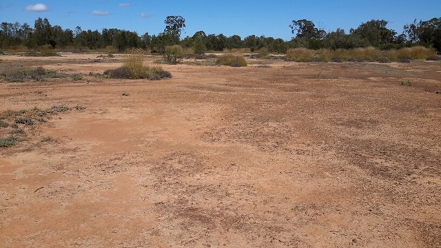
Tumble Downs Desert Walks and Gallery
The Yelarbon Desert is a magnificent desert wilderness made from elevated, eroded level silty plains, these landforms are isolated to areas around Yelarbon near the State border. Grassland is scattered with shrubs and trees of Bull Oak, Tea tree, Belah Mallee Box and Poplar Box.
Much of the land type in this region consists of eroded soil, salinity scald, bleached sandy loam and light clay with intermittent Pitted Bluegrass, spinifex and Windmill (Inquisitive) grass and Roly Poly.
Our guided walk will take you into some of the most Eastern Desert in Australia at Yelarbon in South West Queensland. We do not rush... but take our time to experience the country’s beauty.
Enjoy a chat and a relaxing cup of Billy Tea & Anzac biscuits with your guide Julie Boyce on your return.
 2
km
return
45
mins
2
km
return
45
mins
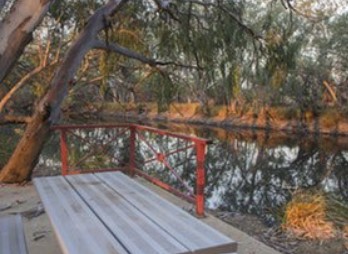
The Gully Walk
This is a stroll along the Moonie River right opposite the Nindigully Pub. It features a nice path with plenty signs in relation to local history and wildlife.
 1.2
km
return
30
mins
1.2
km
return
30
mins
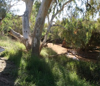
Wallam Creek
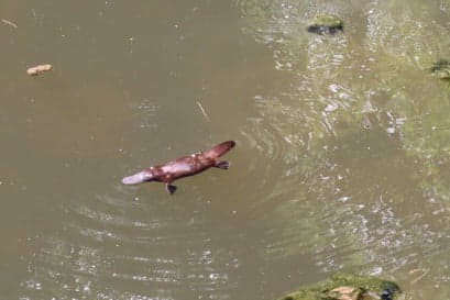
Located in the small town of Bollon between St George and Cunnamulla. Follow a concrete path ( suitable for wheelchairs) along the creek and spot some koalas and echidnas
 2
km
return
40
mins
2
km
return
40
mins
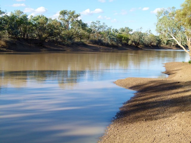
Bulloo River Quilpie
Easy stroll along the Bulloo river just before entering Quilpie.Great for birdwatchers and even fishing ( when river flowing).
 3
km
return
45
mins
3
km
return
45
mins
Bulloo River Walk
In Dowling Street head to caravan park and follow track to the river. This is a nice walk along the river ( where some of the locals may swim ) that ends back to the other side of Downling Street past the old Cobb & Co Crossing.
 4.5
km
return
90
mins
4.5
km
return
90
mins
Thompson River Floodplain Walk
This walk in Longreach is from town to the Thompson River through the floodplain along a disused road. The end of the walk is then along a current road and takes you to the Thomson River. Return via the same path.
2
km
1
hr
Scrammy Lookout
This walk is part of the Bladensburg National Park and allows you see the big sky, and lots of sand and very little vegetation sandstone ranges and flat top mesas... Skull Hole, is a waterhole in the park where an aboriginal massacre known as the Bladensburg Massacre took place
10.8
km
5
hrs
Island Circuit
A lovely scenic walk around Dunk Island - not too strenuous, lots of wildlife!
 2
km
1
hr
2
km
1
hr
Mt Hypipamee NP
A spectacular view down into a large volcanic diatreme (pipe crater) awaits you at the end of the track. The crater is filled with water and a thick carpet of pond weed. The trail back spits off to Dinner falls, a lovely cool cascade in rainforest