
Menu

 2
km
return
2
km
return
 1
hr
1
hr
Franz Josef Glacier Valley Walk
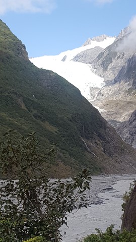
Franz Josef Glacier is now just 300m above sea level and 12km long, starting its journey in the neve of Mt Tasman, having once stretched as far as 35km out into the Tasman Sea. As a result of its accessibility, it is one of the most widely visited glaciers in the world.
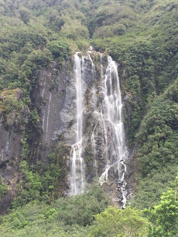
This walk gives you some sort of perspective of the power of ice and water and includes a view of the spectacular 35m high Trident Falls.
 2.6
km
return
1
hr
2.6
km
return
1
hr
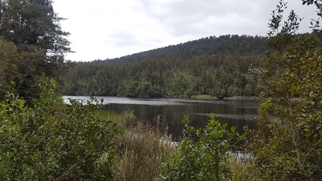
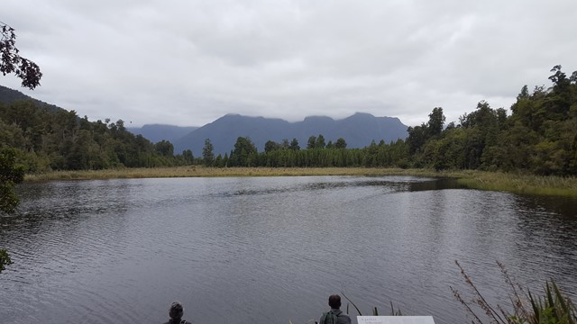
Lake Matheson Jetty
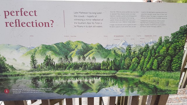
Lake Matheson, nestled in ancient Forests, is famous for its stunning mirror reflections of Mt Cook and Mt Tasman, which are the result of leaf matter leaching into the water and turning it a dark brown colour.
 10
km
one-way
3
hrs
10
km
one-way
3
hrs
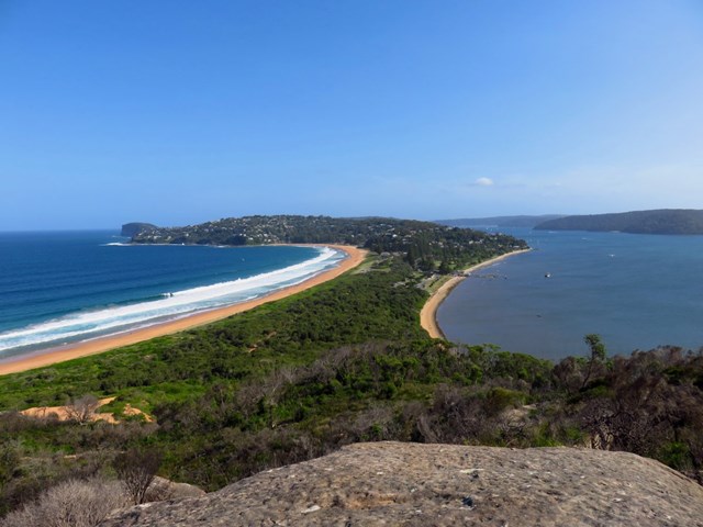
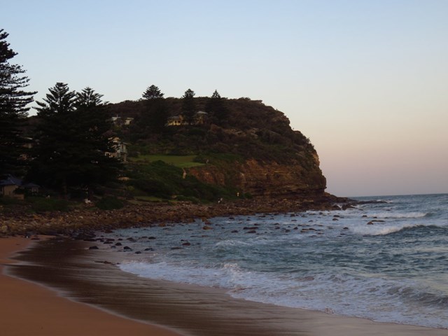
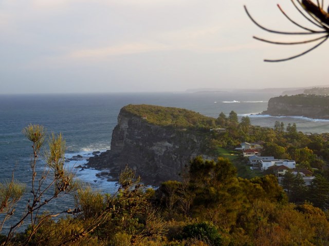
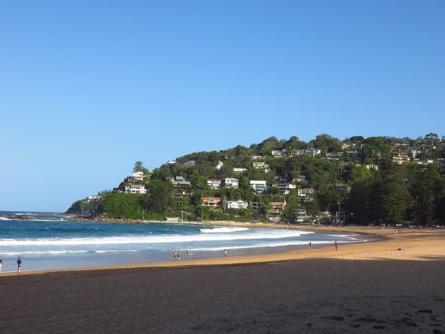
Barrenjoey Lighthouse to Avalon
Spectacular coastal walk on a convict-built track, along idyllic surf beaches and over dramatic headlands.
This walk is also part of the The Sydney Coastal Walk.
 1.8
km
return
90
mins
1.8
km
return
90
mins
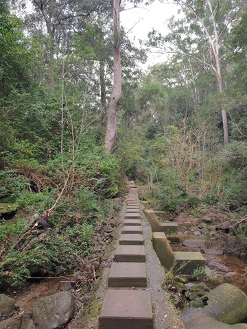
Forest Walk (Cumberland State Forest)
A feature of this walk is the tall native trees and Cabbage Tree Palms. As well as cool gullies and ferns there is plenty of birdlife in the forest. Cumberland State Forest is the only urban forest in Australia. The forest was established in 1939. The walks are signposted with interpretive signs and individual plant names. It is possible to see indigenous plants of the Hills District as well as rainforest trees from elsewhere in NSW.
 1.4
km
return
1
hr
1.4
km
return
1
hr
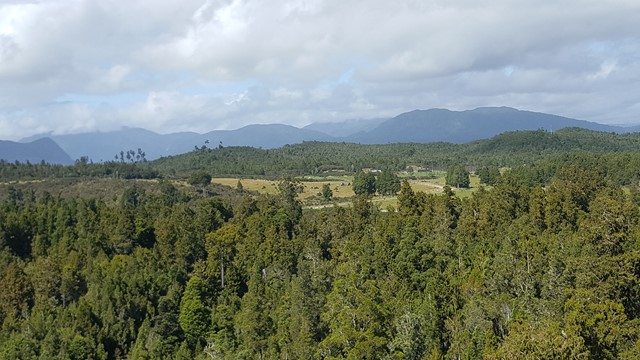
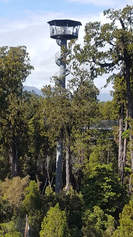
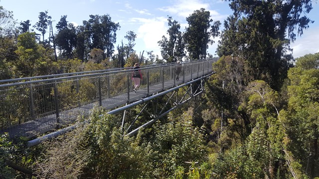
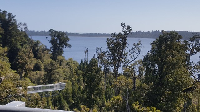
Treetop Walkway
A treetop walkway that takes you 30m up into the canopy and includes a cantilever and 47m tower that provides a spectacular vista of the surrounding mountains, lakes and forest.
 1.7
km
return
1
hr
1.7
km
return
1
hr
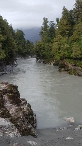
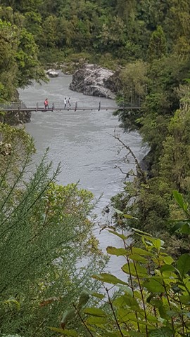
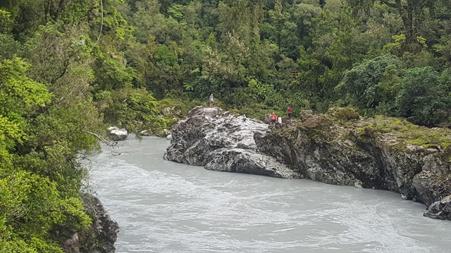
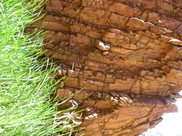
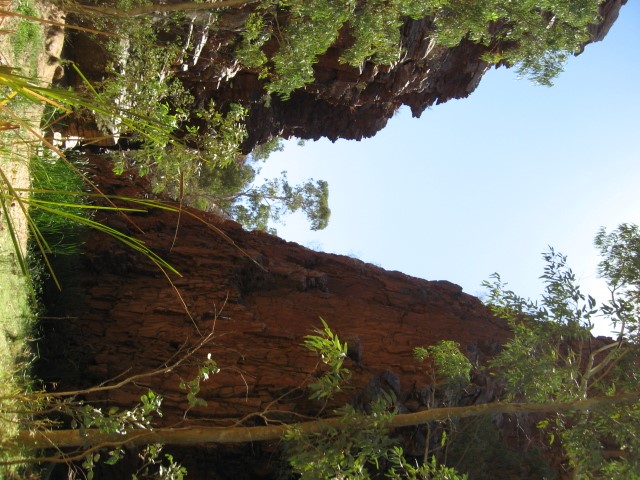
Hokitika Gorge
Hokitika Gorge, often referred to as the "Blue Gorge', due to its vivid turquoise water, swing bridge and surrounding of lush native bush, looks just too good to be true.
 4.5
km
return
2.5
hrs
4.5
km
return
2.5
hrs
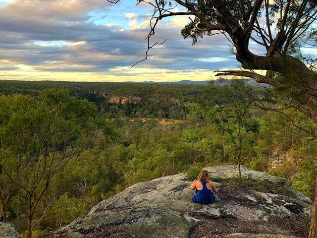
Burraga Track (Bidjigal Reserve)
Valley views. Sandstone shelter, closed Coachwood forest, Ridgetop Heathland, sandstone gullies and woodland. Wildflowers and orchids in Spring. Eastern Water Dragons at Bidgiwong Rock. Water pools, flowing streams and filtered sunlight.
 14.9
km
return
6
hrs
14.9
km
return
6
hrs
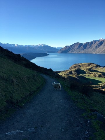
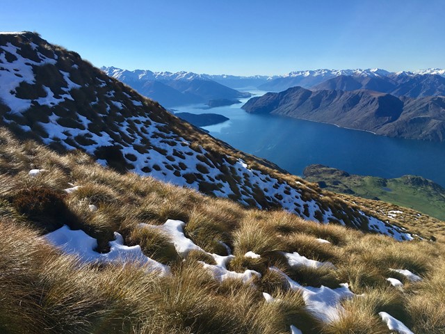
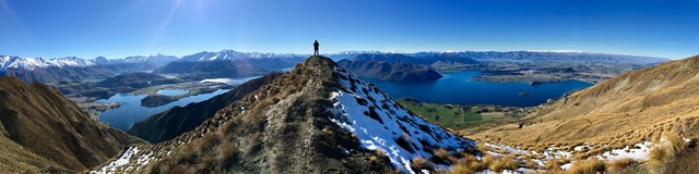
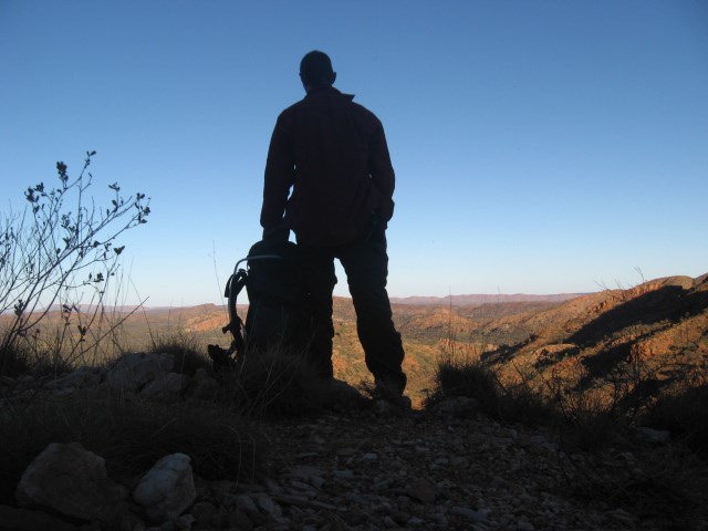
Roy's Peak
A very worthwhile walk to get to that famous view! It's tough on the knees & quite relentless, but the outlook makes it all worthwhile. The lookout is where most hikers stop, but the actual peak is a further 40 minutes - 1 hour further on.
 223
km
17
days
223
km
17
days
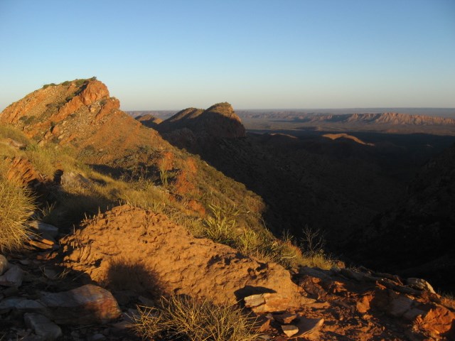
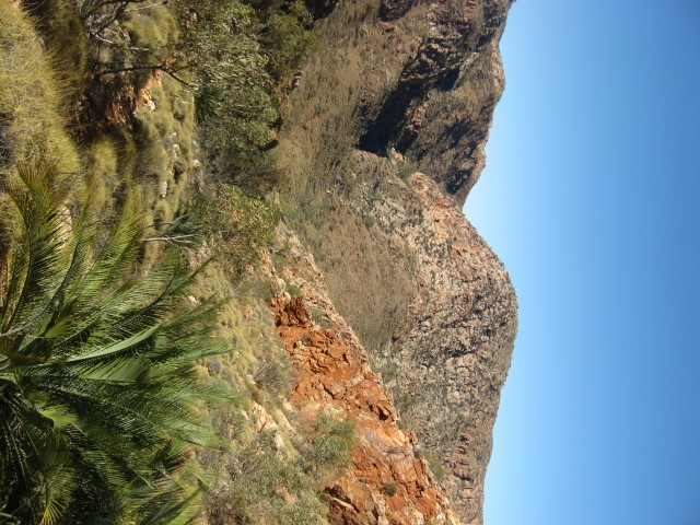
Larapinta Trail
223km hike from Alice Springs to Redbank Gorge or vice versa along the West MacDonnell Range.
 5.5
km
return
2
hrs
5.5
km
return
2
hrs
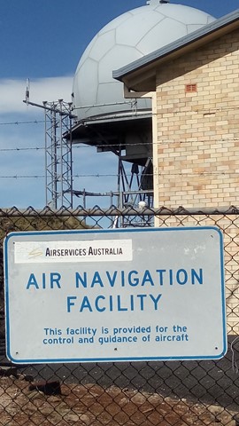
Round Mountain
Round Mountain is the highest point of the New England Tablelands, at 1579m. However, the summit is occupied by Airservices Australia as an Air Navigation Facility, but this does not stop you walking around the perimeter and enjoying the views.
 12
km
return
4
hrs
12
km
return
4
hrs
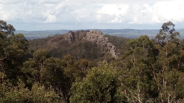
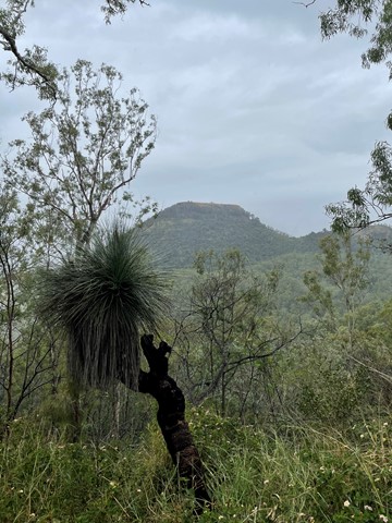
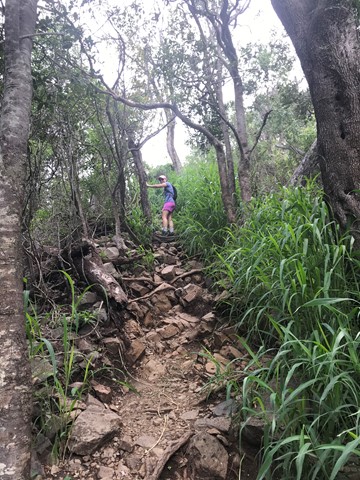
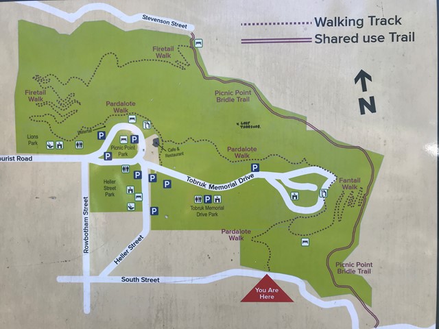
Picnic Point to Table Top
A terrific hike from the waterfall at Picnic Point to Table Top Mountain and return. Challenging in some sections of Table Top with rock scrambling and lots of gravel. The return trip to Picnic Point is also hilly. 12k is an approximate distance. You can add to this or shorten the walk with a few different options.
 13.3
km
return
5
mins
13.3
km
return
5
mins
Ronny Creek via face track return
Starting at Ronny Creek car park walking the overland track to Marions lookout then down to Lake Willis, join the Dove Lake track and return to Ronny Creek.
Amazing view, off the usual tourist tracks and boardwalks. We Stopped for swim at Lake Willis and had plenty of photo breaks
5
km
return
2
hrs
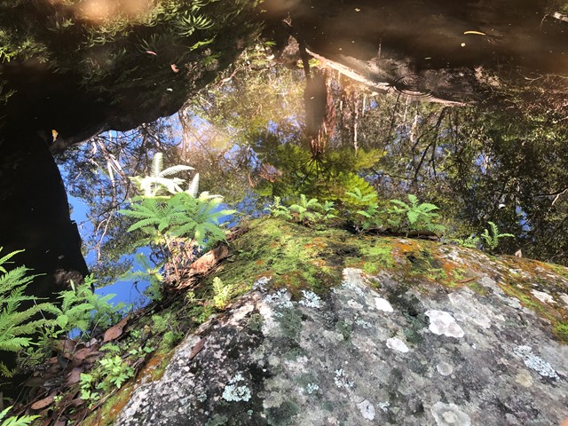
Fern Tree Pool and Giant's Chair Circuit
A circular walk, that takes a steep climb the Giant's Chair lookout and then down to Fern Tree Pool and back along Doctors Gully. An ever changing environment from boulder to eucalypt to rainforest.
 20.6
km
return
5
hrs
20.6
km
return
5
hrs
Caboolture Rail Trail
The walk follows the old Wamuran Rail line from Beerburrum Road, Caboolture to Nasho's Park, Wamuran. There are a couple of bridges to negotiate but the fences have openings to allow walkers. There are some roads to cross with caution. Lots of tree cover and plenty of scenery.
 15
km
3
hrs
15
km
3
hrs
Mount Stuart
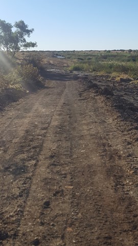
15km return walk from the steep roads ahead sign. 7.5km of continual uphill then 7.5 back down. There are no tracks available to the public so you need to walk up the narrow road.
6
km
return
2
hrs
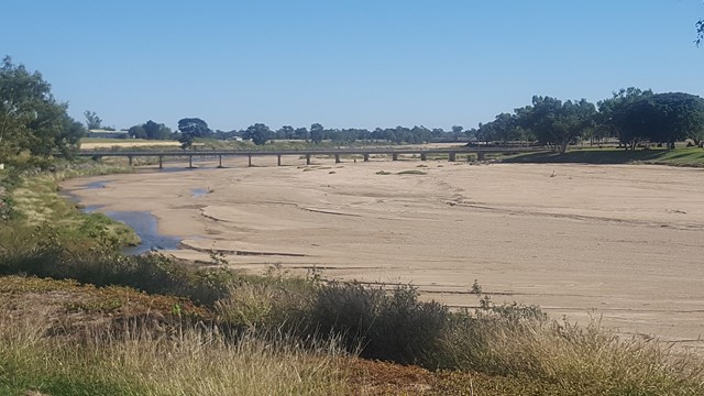
Flinders River Walk
An enjoyable walk along the banks of Station Creek and Flinders River (Queensland's longest river), with various historic attractions along the way. This is dinosaur country, so keep your eyes peeled!
 3
km
return
1
hr
3
km
return
1
hr
Julia Creek Nature Trail
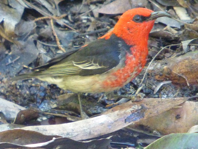
Located behind the caravan park, the nature trail offers a chance to see some of the local birds and wildlife, especially if you do the walk either in the early morning or late afternoon.
 900
m
return
30
mins
900
m
return
30
mins
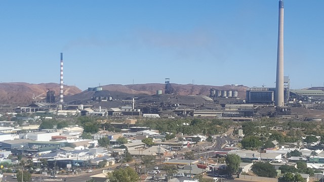
City Lookout
This short walk to the City Lookout gives you an elevated 360° view over Mt Isa and the surrounding area.
 600
m
return
30
mins
600
m
return
30
mins
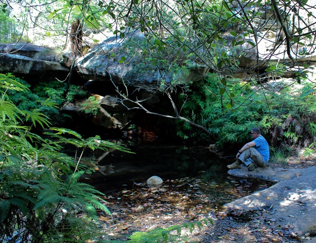
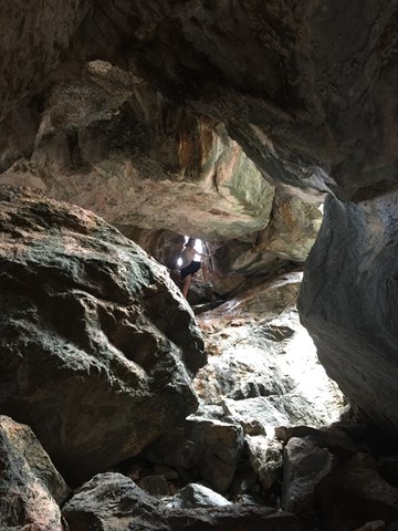
Bauhinia Cave
This is a fun walk for something different. You'll wind your way down through cave passages and will have to duck or crawl to get through certain sections.
It's not very long distance or time-wise but I found I was more hesitant when it came to keeping a good pace in the dark.
 600
m
return
1
hr
600
m
return
1
hr
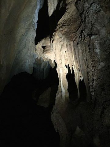
Pompeii Cave
Pompeii Cave can be accessed from the Donna Cave car park, 1.8km south of Chillagoe. From the car park, a well-formed track with many steps leads through deciduous vine forest to Pompeii Cave—a cleft in the rock filled with large boulders, the remnants of a previous collapse.
Inside this small cave, look for bats sleeping high in dark crevices and rock-wallabies hopping from boulder to boulder. A short but steep climb to the bottom reveals a dark passage and some attractive formations. Be careful not to walk on or touch cave decorations such as flowstone or cave coral. Torches are required.