
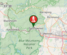
Faulconbridge to Glenbrook via Lost World
Blue Mountains National Park


Menu
One of the many routes through the Blue Labyrinth, the two-day walk from Faulconbridge to Glenbrook in the lower Blue Mountains combines tracks along Sassafras and Glenbrook Creeks with sweeping views from Lost World Lookout. It's a varied walk with lots of potential camping sites.

Getting there
Start/finish at Faulconbridge and Glenbrook railway stations
Maps
9030-3N Springwood (1:25K)
9030-4S Penrith (1:25K)
Route/Trail notes
DAY ONE (12km)
0.0km Victory Track on Sir Henry Parkes Drives
8.0km Back at Perch Ponds after detour to Martins & Magdala Falls
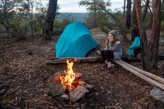
10.5km Bunyan Lookout (camping site)
12.0km Lost World Lookout (camping site)
DAY TWO (11.5km)
14.0km Junction with track down to St Helena Crater
21.5km Duck Hole
23.5km Station St trackhead, Glenbrook
Permits/Costs
Nil.
Other References
https://hikingtheworld.blog/2019/06/10/blue-labyrinth-faulconbridge-to-glenbrook/
See also Guide to Overnight Sydney Walks (https://hikingtheworld.blog/index-of-hikes/overnight-walks-near-sydney/) for alternate routes in the Blue Labyrinth area.
GPS Tracks
- No GPS available for this walk yet.
 ??
?? ??
??
Comments
Nobody has commented on this walk yet. If you've done it then tick it off and add a comment.