
Dingo Ridge
Watarrka National Park


Menu
GPS Tracks


A short and rough track takes you along an escarpment, which surrounds the Kings Canyon Resort, with amazing views of the George Gill Range.

Getting there:
Watarrka National Park is located southwest of Alice Springs and can be reached via a number of routes:
Via the Stuart Highway, Lasseter Highway and onto Luritja Road.
Via Larapinta Drive through the West MacDonnell NP (Mereenie Loop requires a permit and is 4WD only) and onto Luritja Road.
Via the Stuart Highway, Ernest Giles Road (4WD only) and onto Luritja Road.
The track start from the left hand side at the back of the car park at the reception area of Kings Canyon Resort.
Maps:
Available from Resort's reception.
Route/Trail notes:
From the back of the car park, the track heads out in a clockwise direction above the Resort. The rough track is a little faint in places, but there are white paint markings in places to keep you on the right track. The track ends beside the Resort's tennis courts.
Permits/Costs:
None.
Other References/Comments:
With the option to also complete the various walks in Kings Canyon area, both Kings Creek Station and Kings Canyon Resort provide a variety of accommodation for a stopover.
 246 Dingo Ridge (GPX)
 1.8
1.8 1
1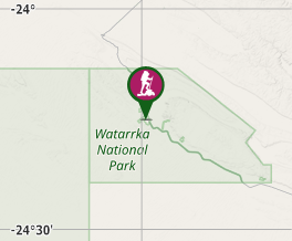
Comments