
Kings Creek Walk
Watarrka National Park


Menu
GPS Tracks
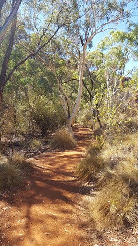
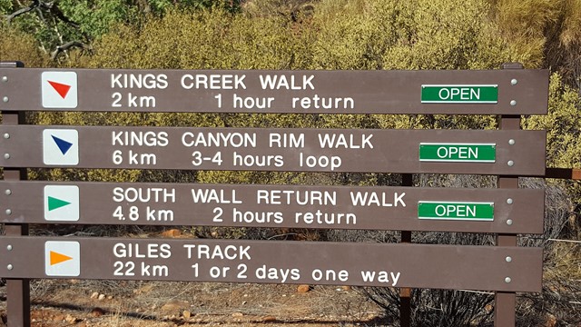
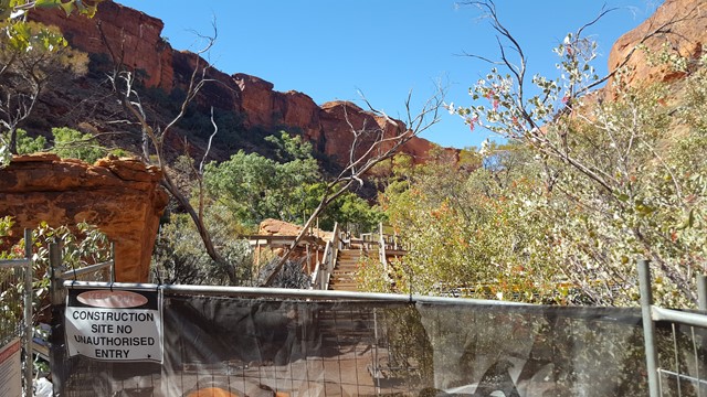
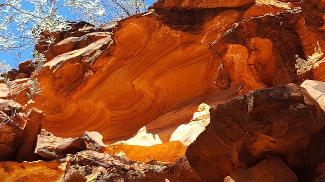
The gentle slope of the track meanders along Kings Creek, ending at a viewing platform, where you experience stunning views of the sheer canyon walls. Take your time to ready the informative signage on the flora and fauna and scan the etched sculptures in the sandstone. Can you spot the pirate's face?


Getting there:
Watarrka National Park is located southwest of Alice Springs and can be reached via a number of routes:
Via the Stuart Highway, Lasseter Highway and onto Luritja Road.
Via Larapinta Drive through the West MacDonnell NP (Mereenie Loop requires a permit and is 4WD only) and onto Luritja Road.
Via the Stuart Highway, Ernest Giles Road (4WD only) and onto Luritja Road.
The 4km signposted road to the car park, is off Luritja Road, 5km south of Kings Canyon Resort.
Maps:
Watarrka National Park - Kings Canyon
Route/Trail notes:
From the car park and information covered area, head straight into the canyon proper (signposted) and meander to the viewing platform and return by the same route.
Permits/Costs:
None.
Other References/Comments:
With the option to also complete the various walks in Kings Canyon area, both Kings Creek Station and Kings Canyon Resort provide a variety of accommodation for a stopover.
 245 Kings Creek Walk (GPX)
 2
2 1
1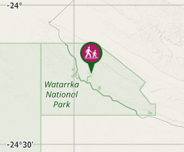
Comments