
Talyuberlup Peak
Stirling Range National Park


Menu
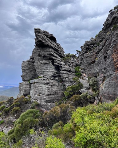
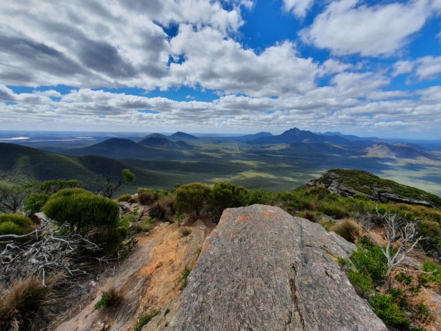
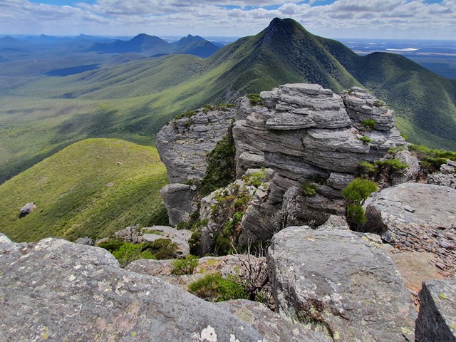
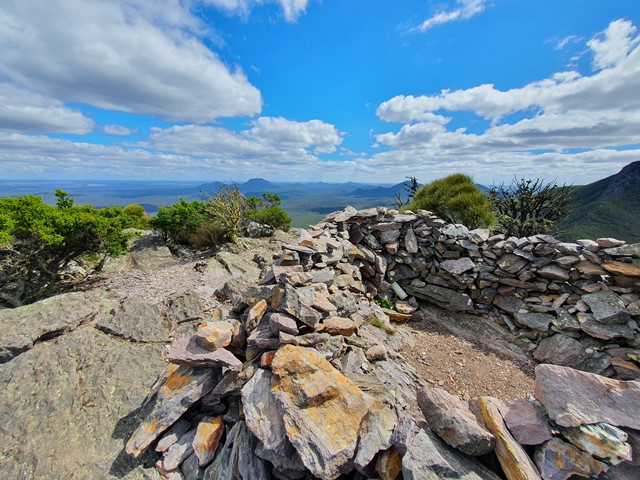
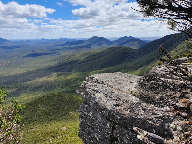
A steep and challenging hike/climb to the top of Talyuberlup Peak which hosts impressive rocky outcrops near the summit and a hole straight through the mountain.
Lookouts
Scrambling or Climbing
Arid or Desert
783m
Maximum Elevation

Getting there
Driving along Stirling Range Drive look out for the signs for Talyuberlup Peak and a small car park on the side of the road.
Route/Trail notes
The walk starts off as a relentlessly steep walk on a very well marked trail through thick vegetation. It gets steeper the further you go and eventually leads to a scramble up a rocky outcrop to the summit.
Permits/Costs
$15 per car per day
Other References
https://trailswa.com.au/trails/talyuberlup-walk-trail
GPS Tracks
- No GPS available for this walk yet.
 2.6
2.6 2
2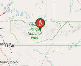
Comments