
Menu
Popular Walks
-
Dove Lake Circuit
(103 ticks) -
Wineglass Bay
(88 ticks) -
Cataract Gorge
(74 ticks) -
Overland Track
(59 ticks) -
Mount Amos
(55 ticks)
Sub-Regions
- Bruny Island
- Cradle Mountain-Lake St Clair National Park
- Dip River Regional Reserve
- East Coast Tasmania
- Franklin-Gordon Wild Rivers National Park
- Freycinet National Park
- Maria Island National Park
- Mount Field National Park
- Mt Roland face walk
- Reynolds Falls Nature Recreation Area
- Southwest National Park
- Tasman National Park
- Wellington Park
- West Coast Tasmania
Summary
With 3 UNESCO sites Tasmania sure has it's fare share of walks and lookouts.
Popular Walks
-
Dove Lake Circuit
(103 ticks) -
Wineglass Bay
(88 ticks) -
Cataract Gorge
(74 ticks) -
Overland Track
(59 ticks) -
Mount Amos
(55 ticks)
Sub-Regions
- Bruny Island
- Cradle Mountain-Lake St Clair National Park
- Dip River Regional Reserve
- East Coast Tasmania
- Franklin-Gordon Wild Rivers National Park
- Freycinet National Park
- Maria Island National Park
- Mount Field National Park
- Mt Roland face walk
- Reynolds Falls Nature Recreation Area
- Southwest National Park
- Tasman National Park
- Wellington Park
- West Coast Tasmania
Other Information
UNESCO Sites
- Tasmanian Wilderness
- Macquarie Island
- Darlington Probation Station
Contact details
Tasmania Parks & Wildlife Service
http://www.parks.tas.gov.au/
Regions
...
Walks in Tasmania

 700
m
return
700
m
return
 20
mins
20
mins
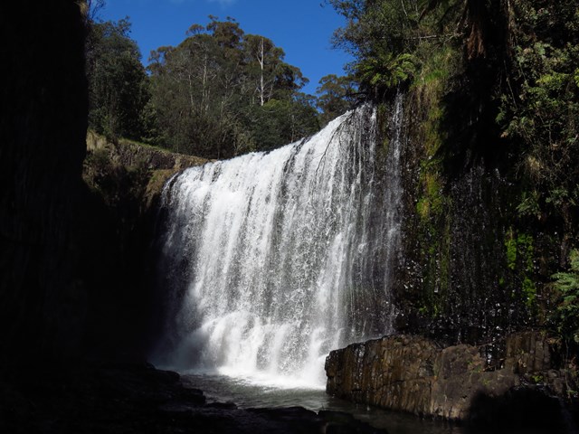
Guide Falls
This is a popular picnic area just south of Burnie, near Ridgley. An easy walking track to the base of the two-tiered falls is a few hundred metres upstream. The road continues to the top of the falls and an accessible viewing platform. A walking track leads you through the thick undergrowth of the riverside, down to a grassed area at the bottom. There are barbecues with picnic tables at both the top and bottom of the falls; a beautiful place to spend the day in summer.
 8
km
return
3
hrs
8
km
return
3
hrs
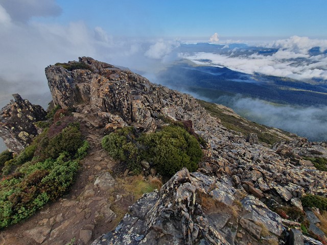
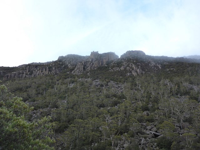
Hartz Peak - Hartz Mountains National Park
Pittoresque hike and alpine feel, suitable for everyone with plenty of photo spots and fantastic picnic options by the lakes. Watch the weather.
 500
m
return
30
mins
500
m
return
30
mins
Hastings Caves
A walk in Hastings Cave State Reserve to the entrance to Newdegate Cave which can be explored on a payed tour.
1.5
km
return
30
mins
Hastings Hot Springs Nature Trail
A walk that you must pay for entry to the thermal springs to do. You get to experience a cold creek and a slightly less cold creek.
2.4
km
return
1
hr
Hogarth Falls
A walk from Peoples Park following Botanical Creek to Hogarth Falls.
 4.5
km
return
3
hrs
4.5
km
return
3
hrs
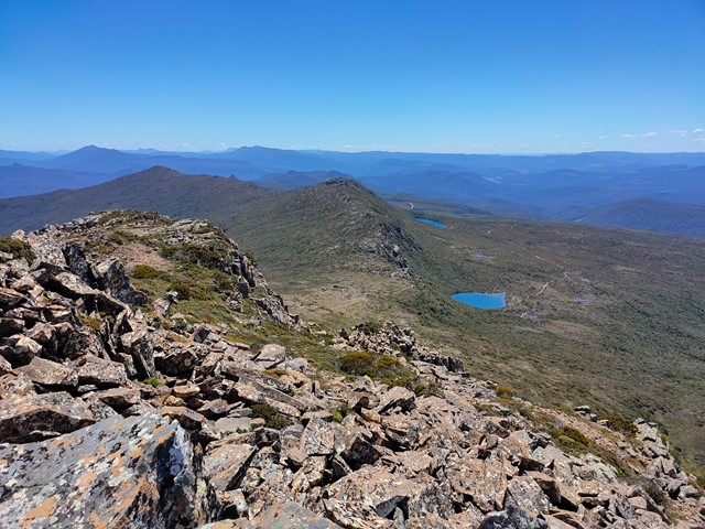
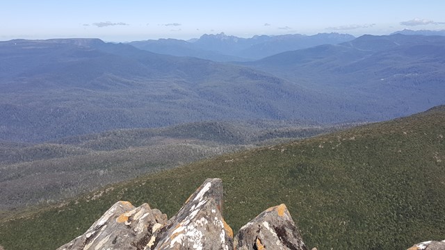
Ironstone Mountain
Challenging track with steep sections , scrambling over boulders and crossing the Western Creek waterfall makes for a very fun hike. Do NOT attempt this one if you are unfit, inexperienced or ill-prepared. This is for the more serious of hikers/walkers.
 1
km
return
30
mins
1
km
return
30
mins
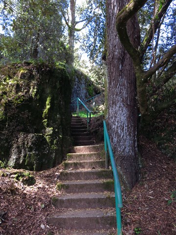
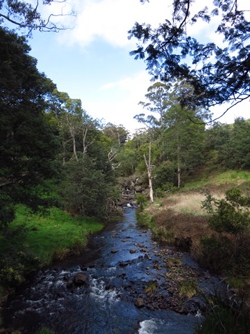
Junee Cave Track
A short walk following the Junee River to the Junee Cave mouth. Which is part of the Junee-Florentine karst area and is connected to Australia's deepest cave in the Niggly/Growling Swallet cave system.
400
m
return
30
mins
Kangaroo Point Historic Site
A short walk exploring the historic Kangaroo Point Battery.