
Menu
Popular Walks
-
Dove Lake Circuit
(103 ticks) -
Overland Track
(59 ticks) -
Cradle Mountain Summit
(52 ticks) -
Marions Lookout
(40 ticks) -
Wombat Pool
(37 ticks)
Parent Regions
Summary
Cradle Mountain-Lake St Clair is one of the most well known and popular National Park in Australia. Host of the world famous Overland Track, the park is located in the Central Highlands region of Tasmania 165km north-west of Hobart. The park includes Mt Ossa, the highest mountain in Tasmania, and Lake St Clair, Australia's deepest lake, amongst a multitude of features.
Popular Walks
-
Dove Lake Circuit
(103 ticks) -
Overland Track
(59 ticks) -
Cradle Mountain Summit
(52 ticks) -
Marions Lookout
(40 ticks) -
Wombat Pool
(37 ticks)
Parent Regions
Features
Without a doubt the Overland Track is the most famous walk in the park. Arguably the pinnacle of Australian bushwalking, the Overland Track is 65km long and generally takes 5-6 days but is often extended with side trips along the way.
The park also has numerous easily accessed day walks at both Cradle Mountain and Lake St Clair, as well as opportunities for visiting other areas of the park with some more effort.
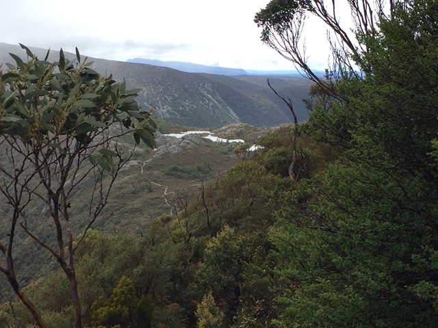
Major features of the park include Cradle Mountain, Dove Lake, Barn Bluff, Mount Pelion East and West, Mt Ossa, Pine Valley (including the Labyrinth and the Acropolis), and Lake St Clair.
Maps
TasMaps has a series of topographic maps that cover the park in detail.
Accommodation
There are multiple private accommodation options at both Cradle Mountain in the north and Lake St Clair in the south. Within the park there are public and private huts and camping areas though restrictions apply on their use.
Contact details
Parks & Wildlife Service websites:
Cradle Mountain - https://parks.tas.gov.au/explore-our-parks/cradle-mountain
Lake St Clair - https://parks.tas.gov.au/explore-our-parks/lake-st-clair

 6.3
km
return
6.3
km
return
 3
hrs
3
hrs
Barn Bluff
A side trail from the overland track often completed on day 1 or the morning of day 2. Barn Bluff is the 4th highest mountain in Tasmania and makes for a fun scramble with good views.
18
km
return
7
hrs
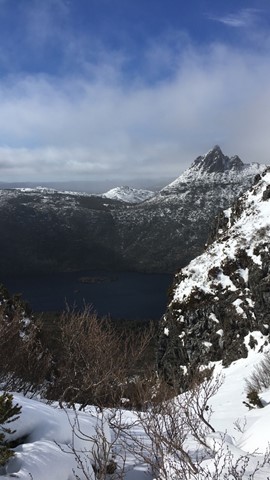
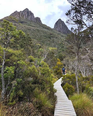
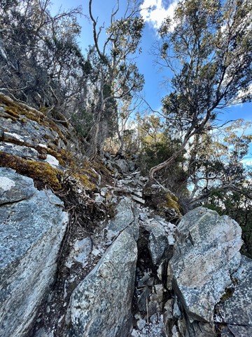
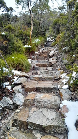
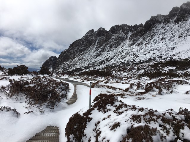
Cradle Mountain Summit
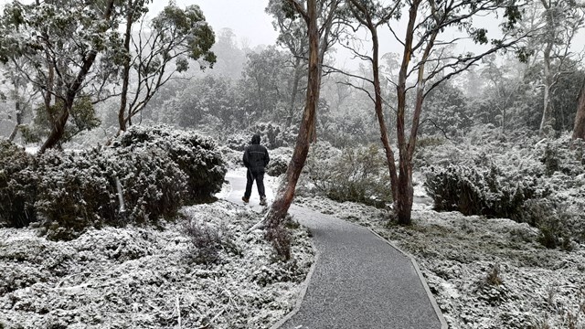
A hike to the summit of Cradle Mountain. I would recommend staying at the mountain, as most accomodation is quite a distance from the visitors centre. The visitors centre opens at 8am, the first shuttle bus to the starting point leaves at 8:15 and the last return bus leaves at 6pm. No cars can drive to the lake at present inside these hours and if you miss the last bus it is about another 3 hour walk out so keep this in mind. If you do drive down before 8am, you can drive back inside these hours but you need to follow one of the busses as they are in radio contact with each other on the narrow one lane road. Personally I would recommend doing the loop via Hansons Peak and returning via Marrion's Lookout, in my opinion it is much better and less travelled, probably because it is a little longer and also because most walkers doing the Overland Track go via Marrion's. Amazing views the whole way and lots of options if you want to make the walk a little longer. Highly recommended, the best walk I have ever done.
 5.6
km
one-way
3
hrs
5.6
km
one-way
3
hrs
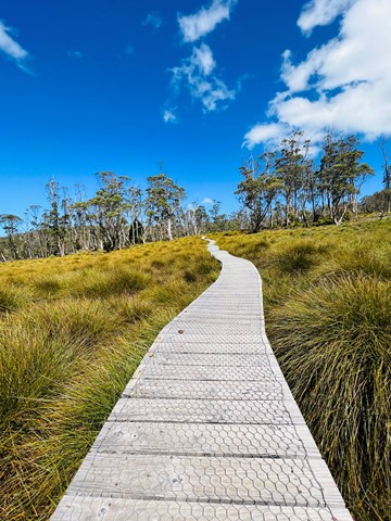
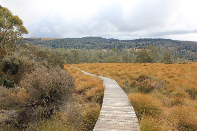
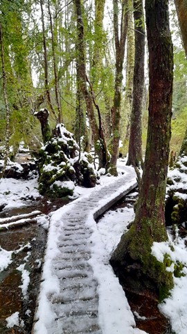
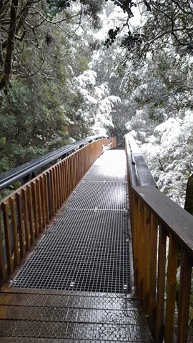
Cradle Valley Boardwalk
A trail consisting mainly of boardwalk like the name suggests that serves as a link between the ranger station and ronny creek. The trail runs up the Cradle Valley with Dove River to the left and the road to the right.
5
km
return
2
hrs
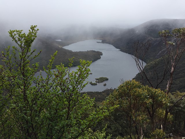
Crater Lake Circuit
Commencing from the car park at Dove Lake, follow the boardwalk past fields of button grass, Lake Lilla and Wombat Lake, before heading up the side of the crater wall. The climb is reasonably easy, on a well-graded gravel track, with only a few steep sections.
 1.1
km
return
1
hr
1.1
km
return
1
hr
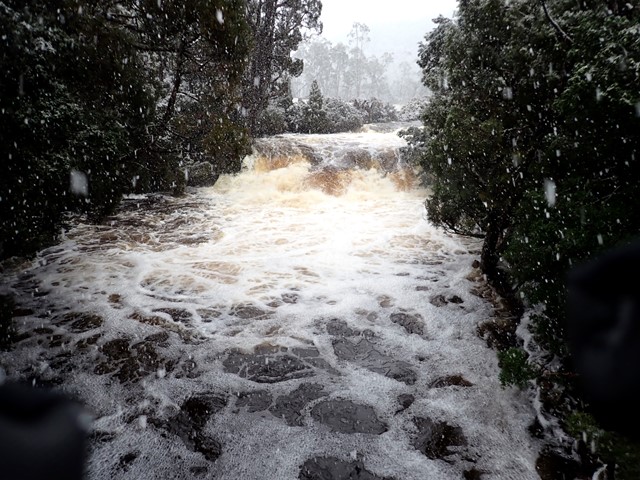
D’Alton and Fergusson Falls
A short side trail to D’Alton and Fergusson Falls.
6.3
km
return
2.5
hrs
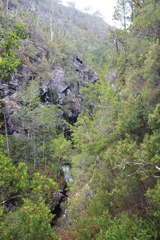
Dove Canyon
Dove Canyon is a half day track that starts in myrtle rainforest, progresses through open forest past a steep canyon and finishes by crossing buttongrass plains. With one steep section some fitness is required but its lower elevation makes it attractive as an option in poorer weather. Features visited include Pencil Pine Falls, Knyvet Falls and Dove Canyon.
 5.7
km
return
2
hrs
5.7
km
return
2
hrs
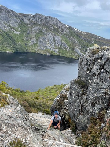
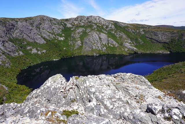
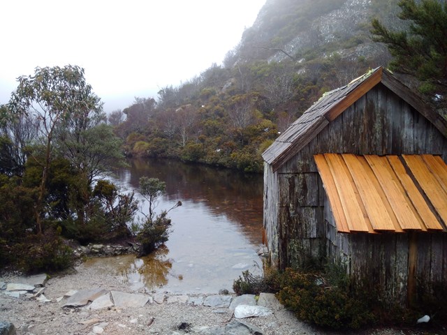
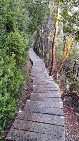
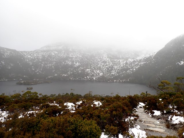
Dove Lake Circuit
This 6km track is one of Tasmania’s premier walks. It will take you right around Dove Lake and beneath the towering spires of Cradle Mountain. The track is boardwalked for much of the way. Highlights: Glacier Rock, Ballroom Forest and the Boatshed.
 1.1
km
one-way
30
mins
1.1
km
one-way
30
mins
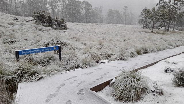
Enchanted Walk
A walk to suit all age groups. For company there’s a cascading river, wombat burrows and magical old-growth rainforest. The walk will take you through buttongrass moorland before entering cool temperate rainforest along the edges of Pencil Pine Creek. Along the track are three interpretive tunnels that kids and kids at heart will find fun to crawl through!
 2
km
one-way
1
hr
2
km
one-way
1
hr
Face Track
A track along the northern face of Weindorfers Tower and Little Horn, two of the summits of Cradle Mountain.