
Guide Falls
Tasmania


Menu
GPS Tracks
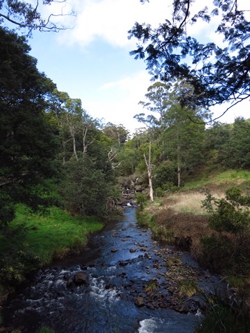
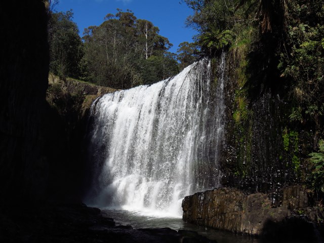
This is a popular picnic area just south of Burnie, near Ridgley. An easy walking track to the base of the two-tiered falls is a few hundred metres upstream. The road continues to the top of the falls and an accessible viewing platform. A walking track leads you through the thick undergrowth of the riverside, down to a grassed area at the bottom. There are barbecues with picnic tables at both the top and bottom of the falls; a beautiful place to spend the day in summer.

Getting there
Follow W Ridley Rd, Ridgley TAS 7321 until you reach the end (the picnic grounds).
Maps
Which maps cover the area?
Route/Trail notes
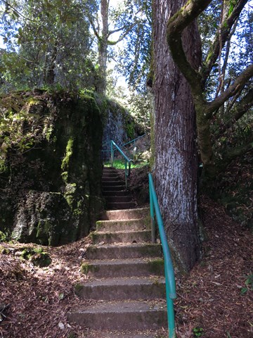
Follow the path upwards for a short climb. Come back the way you came.
Permits/Costs
Do you need any permits? What's the cost?
Other References
http://www.discovernorthwesttasmania.com.au/waterfalls.html
https://www.burnie.tas.gov.au/Explore/Parks-and-Reserves/Guide-Falls
 Guide Falls (KML)
 700
700 20
20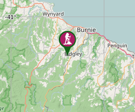
Comments