
Menu
Suggested searches
Your search found 510 results...

 12
km
return
12
km
return
 4
hrs
4
hrs
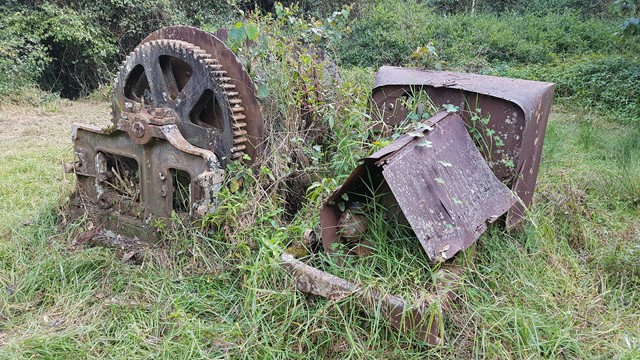
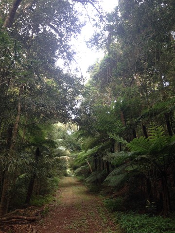
Winder Track
Main Range National Park
The Winder track starts at the north-east end of Lookout Road, 6.3 km beyond Kurrajong picnic area. This track passes through rainforest along the crest of the Mistake Range before ending at the 'winder', a piece of relic machinery from the early days of timber cutting.
 1
km
return
45
mins
1
km
return
45
mins
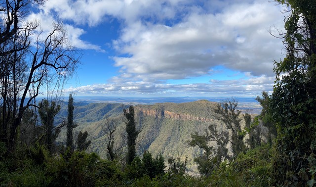
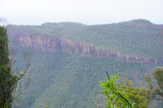
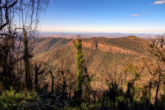
Mt Castle Lookout
Main Range National Park
Short track walk to see great view of Mt Castle, Flinders Peak and even Brisbane on a clear day.
 6
km
return
2.5
hrs
6
km
return
2.5
hrs
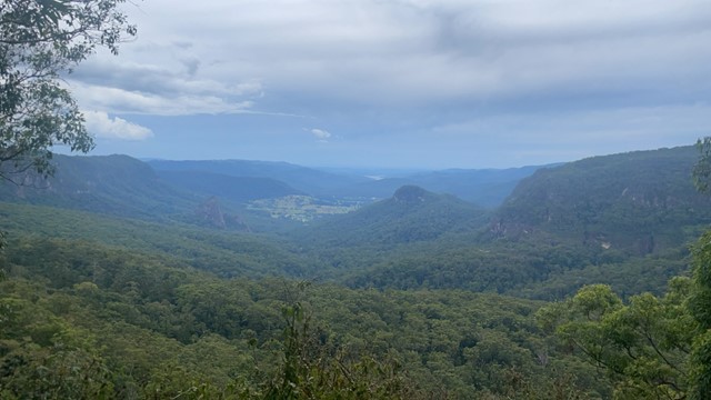
The Pinnacle and Fairview Mountain via Valley Break
Springbrook National Park
From the end of Austinville rd follow the 4wd track of Valley Break to Fairview Mountain and then turn left onto a at times overgrown single track till The Pinnacle (Springbrook Pinnacle) which is contoured around to the right where the route up becomes apparent (on the opposite side of the pinnacle as of that you approached (Southern side)). A scramble to the summit which offers 360 views.
 5
km
return
90
mins
5
km
return
90
mins
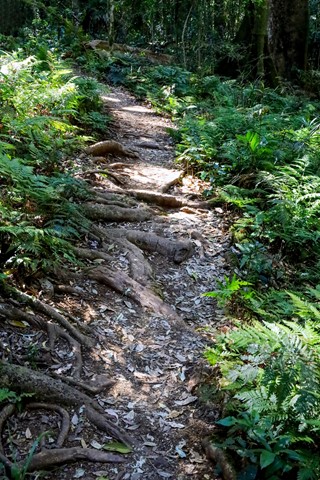
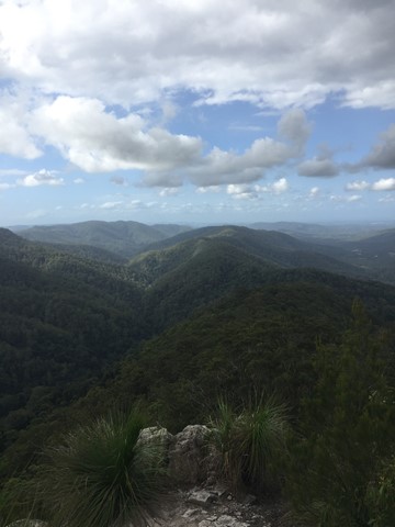
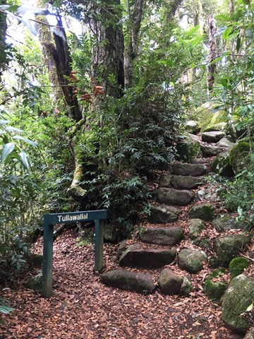
Tullawallal Circuit
Lamington National Park
This track leads through the rainforest to the summit of Tullawallal at over 950m. Also this track leads to the closest stand of Antarctic beech trees to Binna Burra. The rock formation at the end is a natural wonder that will have you guessing! Can be completed as a loop with the Border Track.
 9.5
km
return
4
hrs
9.5
km
return
4
hrs
Bally Mountain
Gold Coast
Ascend Bally Mountain in the Gold Coast Hinterland.
 3
km
return
1
hr
3
km
return
1
hr
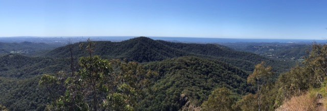
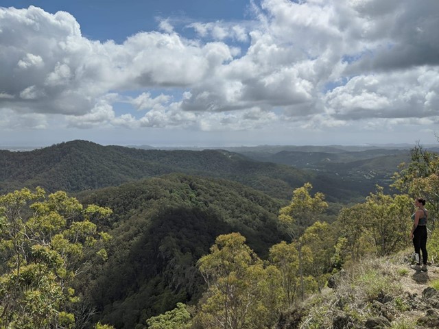
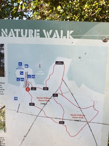
Martin Williams Walk
Sunshine Coast
Lovely walk at Lake Baroon, near Maleny Qld
Two loops. Total approximately 3 km's
 5.4
km
return
2
hrs
5.4
km
return
2
hrs
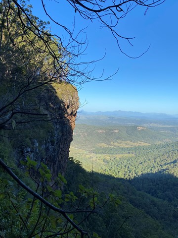
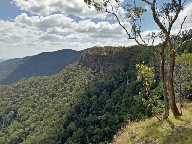
Pats Bluff
Lamington National Park
The West Cliff Track branches to the right from the Python Rock Track and then immediately sharp left past a Black Booyong with extensive buttressing and a tall Hoop Pine 30 metres further down the track.
Pat’s Bluff affords a view over the Albert and Logan River valleys to the Great Dividing Range. Follow the cliff line down past a view of Raining Cliff to the picnic area. Pat O’Reilly’s log cabin is 70 metres in from this spot. Peregrine Falcons nest in caves in these cliffs and often rest in the dead trees above the cliff line
 11
km
return
4
hrs
11
km
return
4
hrs
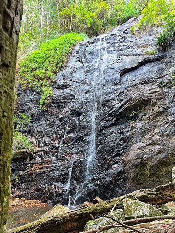
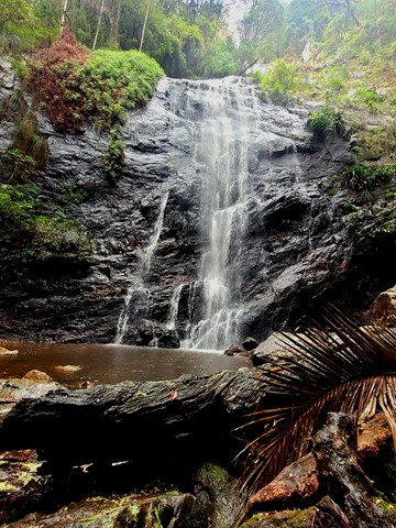
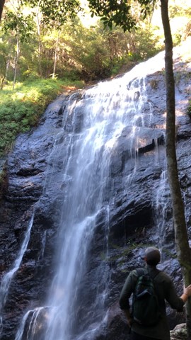
Lower Ballanjui Falls
Lamington National Park
This track uses part of the Ship's Stern track as far as the bottom of Nixon's Creek Valley. It passes through a small section of rainforest at first before the Bellbird Circuit leaves on the left. The track then descends more sharply into the Nixon's Creek valley through eucalypt forest and patches of rainforest. There are good viewing areas at Koolanbilba and Yangahla Lookouts which allow the walker to see views of Egg Rock, Turtle Rock, the Numinbah Valley and Ship's Stern. Down the track, the outcrop known as Kong Gong Rock is reached with the track passing through a cleft in the rock. The track now winds down through eucalypt forest and reaches the Lower Bellbird Circuit junction. Further down are magnificent stands of flooded gum and a giant red cedar. The track to Lower Ballanjui Falls now leads off to the right and follows the creek up towards the base of the falls. The falls are best seen during the wet season of December to March, but are always very beautiful. This is an area where it is wise to carry leech repellent.
 2.5
km
return
30
mins
2.5
km
return
30
mins
Eddie Kornhauser Recreational Reserve
South East Queensland
Flood plain parklands with dog off leash area, tidal water ponds and access from different neighborhoods. Network of concrete pathways.
 5.5
km
return
2.5
hrs
5.5
km
return
2.5
hrs
Mt Greville waterfall gorge, Northern face
Moogerah Peaks National Park
Starting from the car park ascend to the viewing rock and then head along the faint track towards south east ridge. Once at the cliff line peel of to the right and traverse along until you get to the first gully entrance seen from the viewing rock once there rock scramble up the north western ridge line to the summit. Beware there is a degree of exposure here and no marked route. The bare rock is cliff like and the gullies are extremely unstable beware of shifting rocks. Descend down south east ridge.